Trail Overview
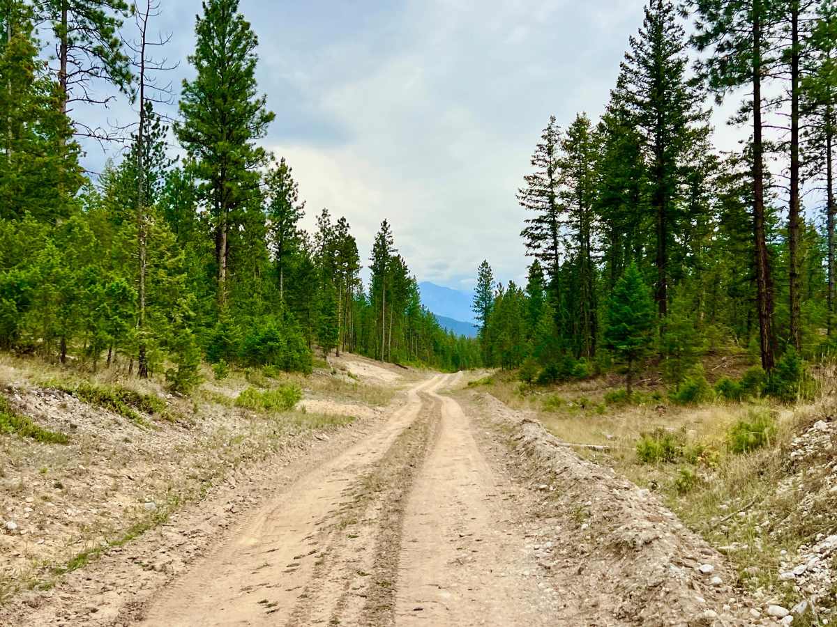
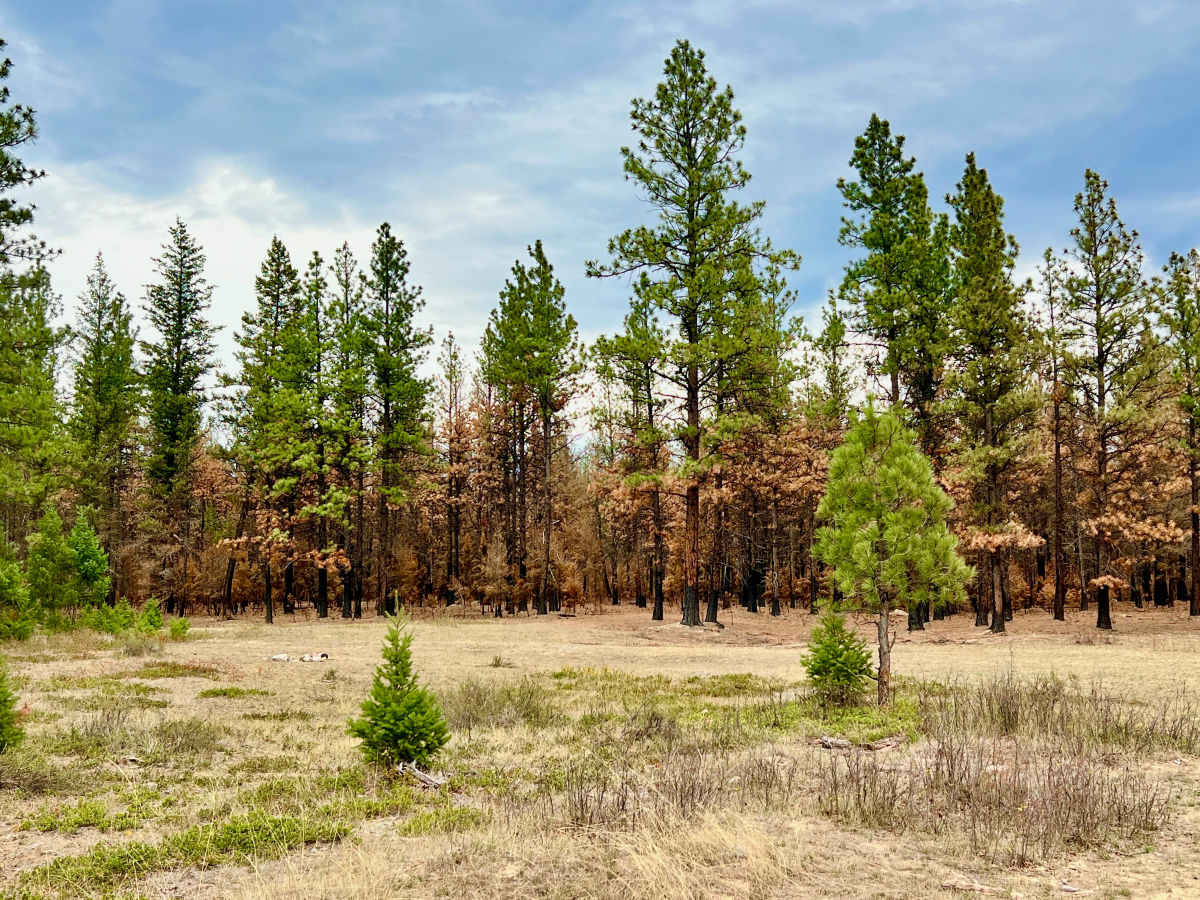
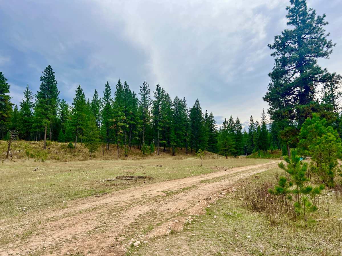
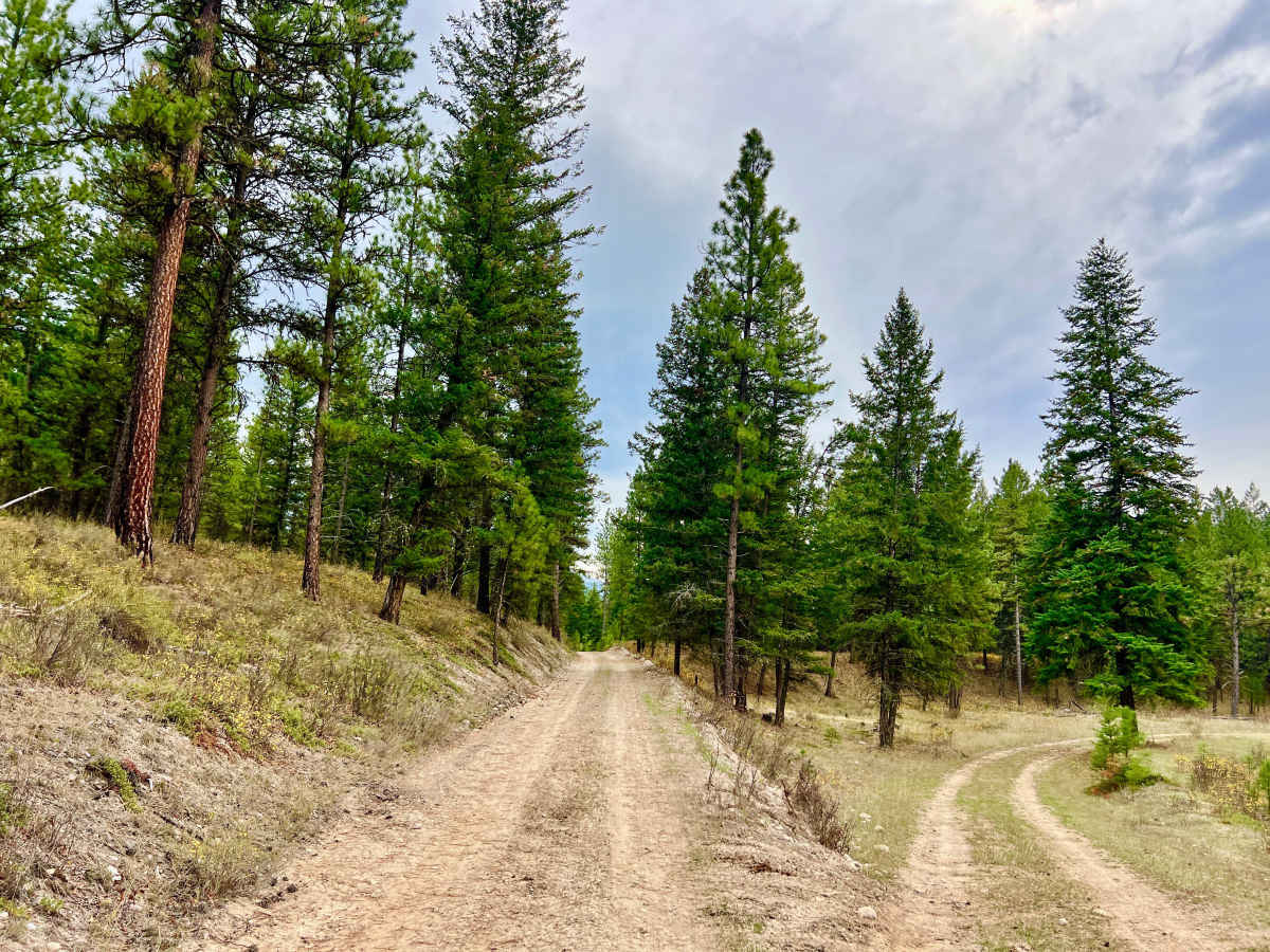
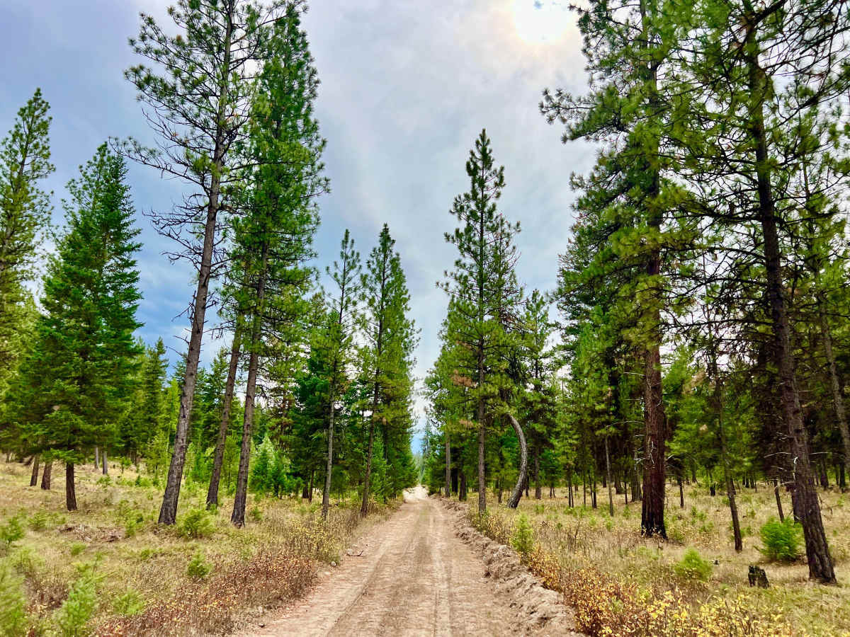
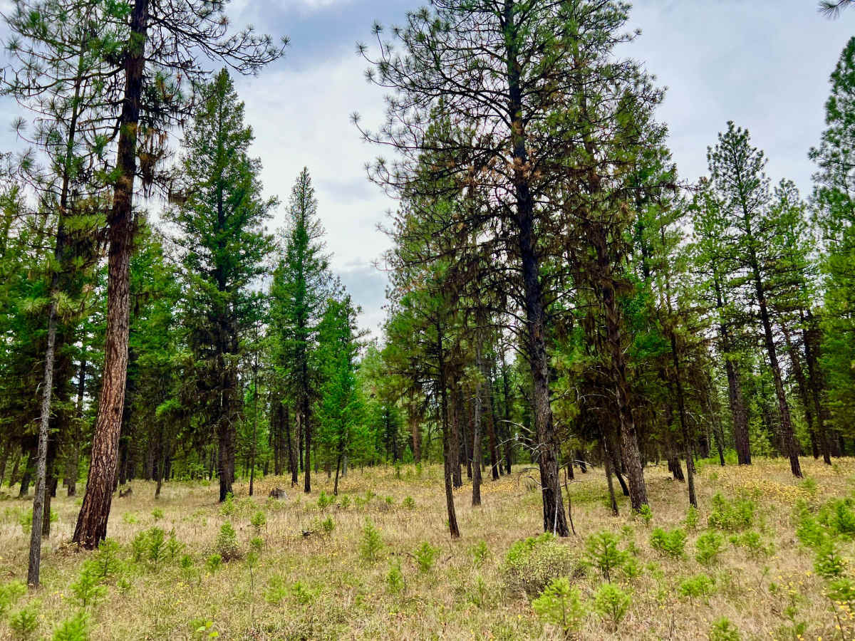
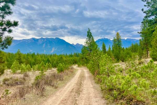
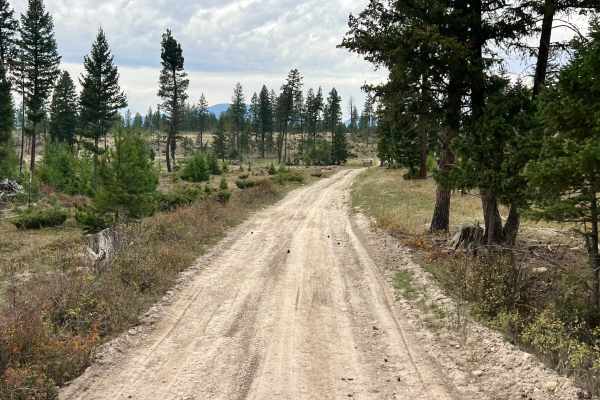
This trail serves as a connector through forested areas and links up to the Johnson Cross West Trail, which connects to Highway 93. The area offers a scenic passage through the heart of the forest, providing a direct route that traverses active grazing land and gives travelers views of the surrounding mountain ranges. Keep an eye out for wildlife, particularly deer. It is generally a straightforward drive with some rutted sections and mud in the wet seasons. Users should stay alert for active logging operations, as heavy machinery also frequently uses this route. There are several flat, open spots along the trail suitable for dispersed camping, whether you are traveling solo or as part of a group. As these are unimproved areas, please practice Leave No Trace principles. Cell service is very limited, typically around one bar.
Difficulty
The trail is generally easy to navigate. However, it features occasional deeper washouts, mud puddles, and rutted sections that can become impassable during or after wet weather.