Trail Overview
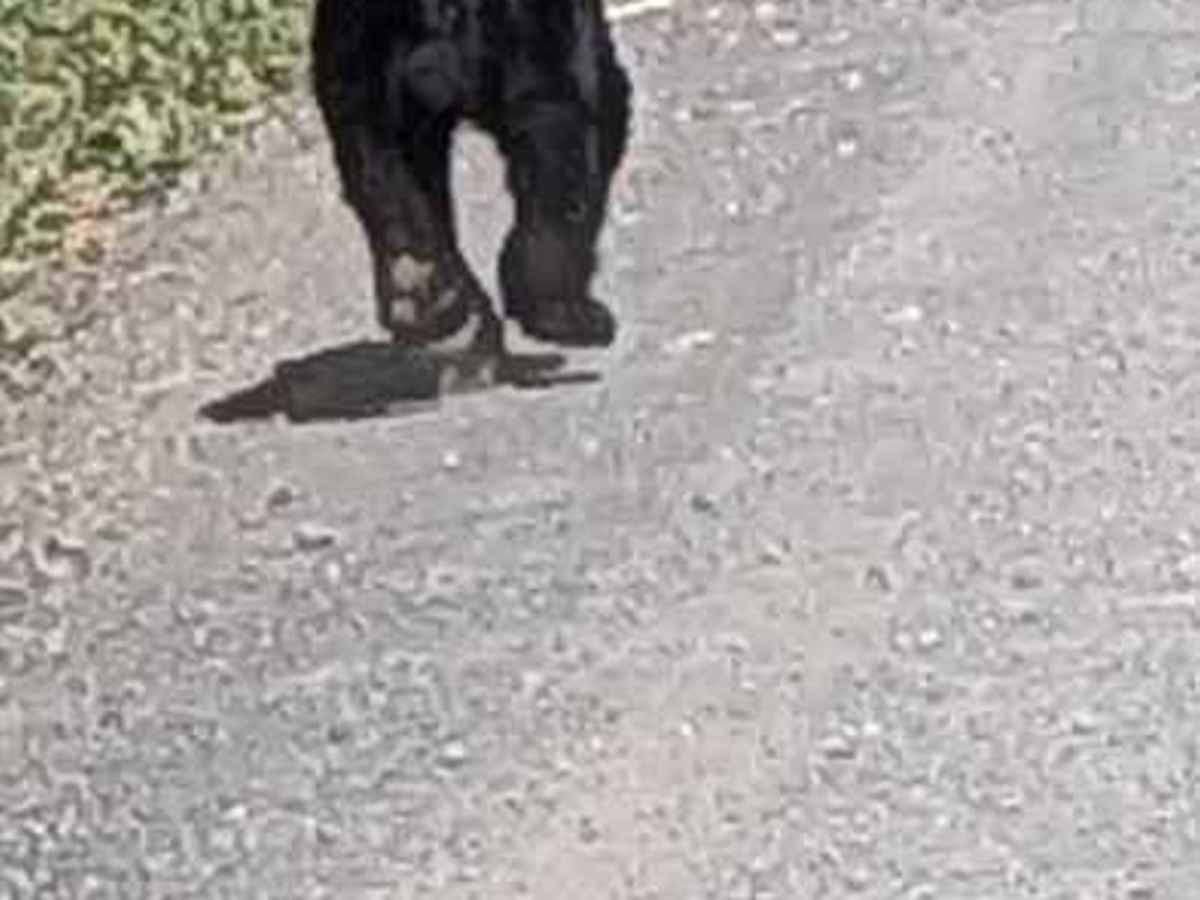
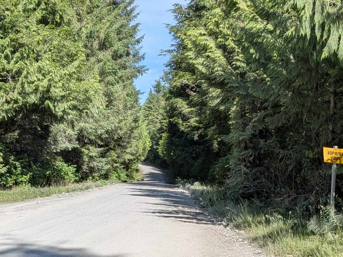
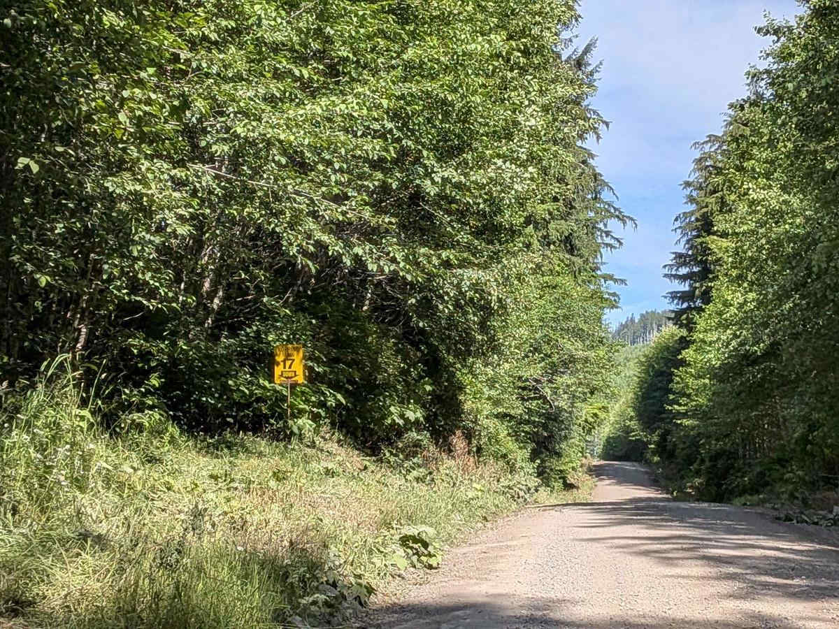
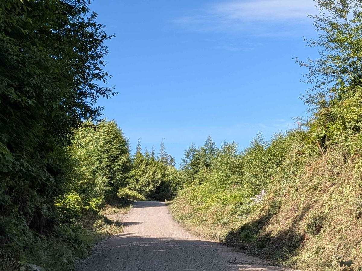
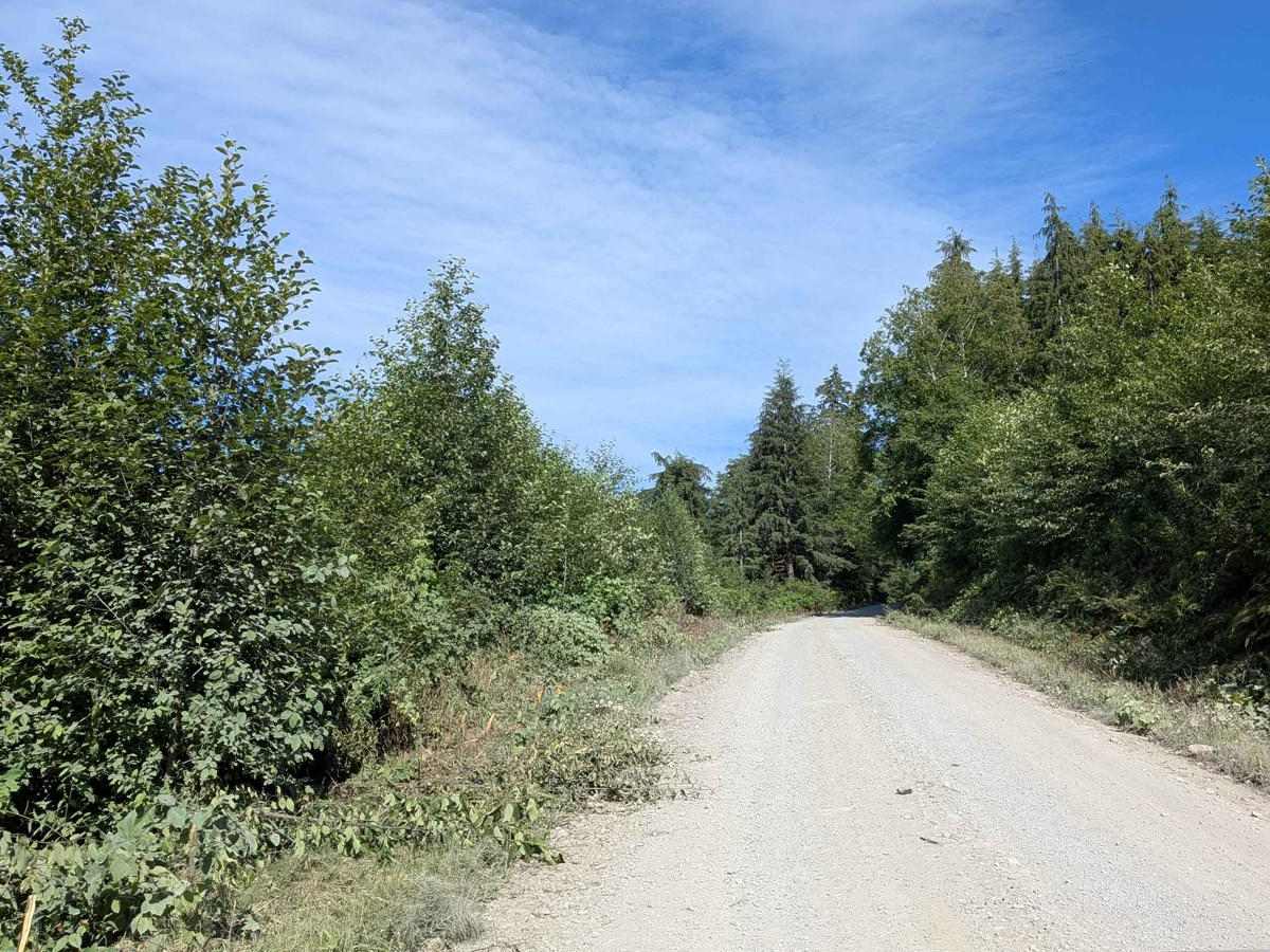
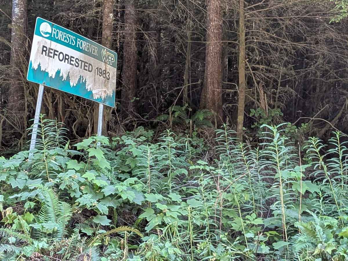
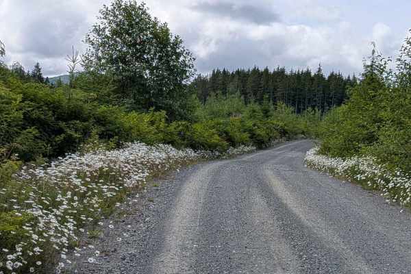
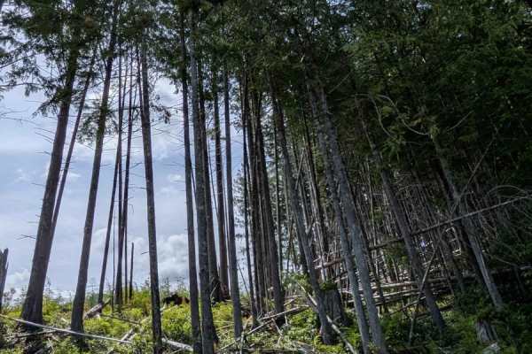
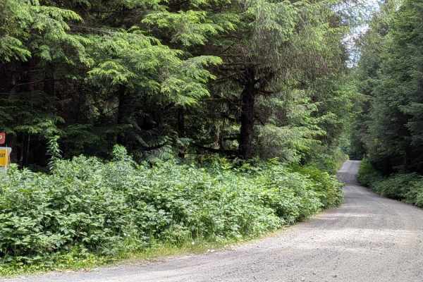
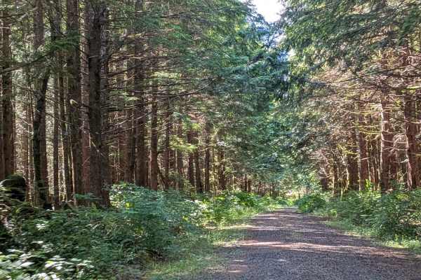
Koprino Main is a dirt logging road that runs through dense forest and clear-cut zones, offering occasional scenic views of the surrounding landscape. The road is 2 to 3 vehicles wide, making for easy passing in most sections. It was formerly known as Southeast Main before being renamed. This is an active logging route, and logging trucks travel at high speeds, so always use caution, yield right of way, and make use of pullouts. Wildlife is common in this area, especially black bears, so drive attentively and keep your speed in check. The trail concludes at the Koprino Recreation Site, which provides access to the coastal inlet for activities like picnicking or paddling.
Difficulty
This is a well-traveled, wide dirt road with a generally smooth surface. Its main challenges are dust, traffic, and wildlife awareness.
History
Koprino, on Vancouver Island's northwest coast, is significant in local First Nations and European settlement history. The Koprino people, a Kwakwaka'wakw First Nation, historically had their main village there before amalgamating with the Koskimo. Later, a cannery operated in Koprino Harbour, reflecting European economic development in the region. Today, Quatsino Park protects the area, including Koprino Harbour and its estuary.