North Bermis Road

Total Miles9.4
Technical Rating
1Easy
Best TimeSpring, Summer, Fall, Winter
Trail TypeFull-Width Road
Accessible By
Open Trail Map

Trail Overview

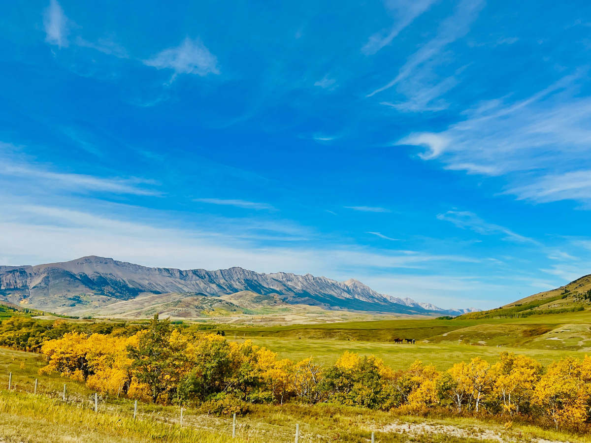
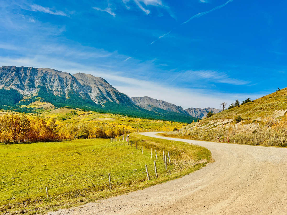
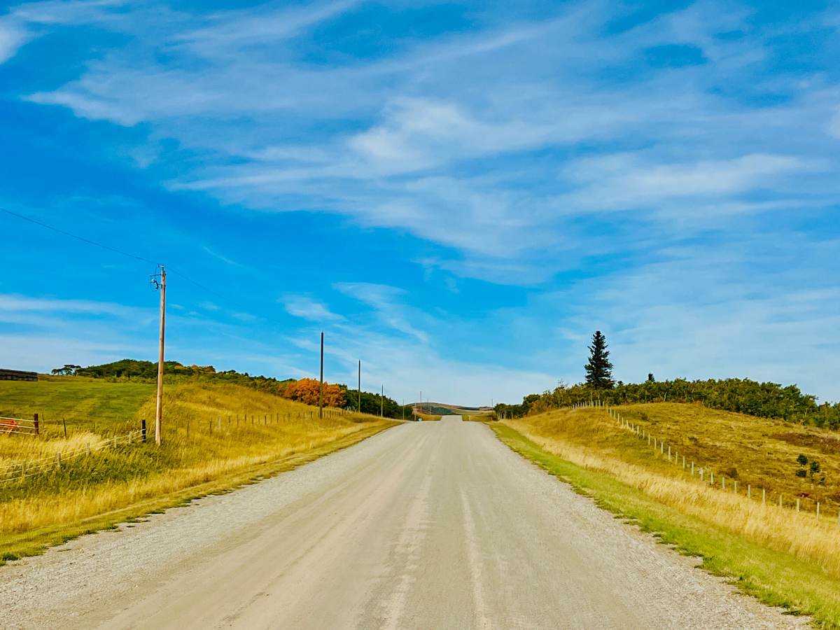
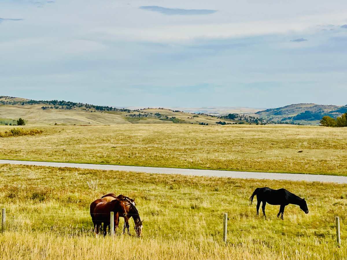
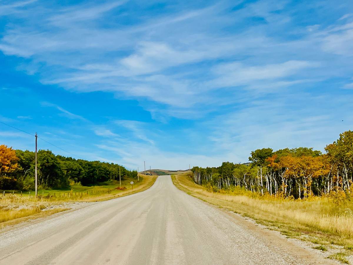
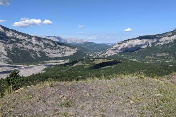
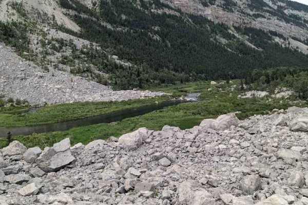
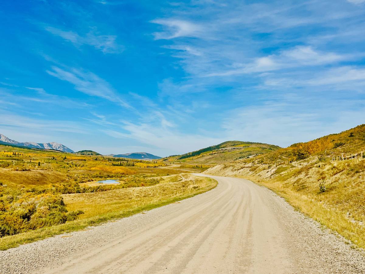
This pleasant, easy connector trail runs along the foothills of the Livingstone Range, below Cauldron Peak and Livingstone South Peak. The route consists of hard-packed gravel and is wide enough to accommodate oncoming traffic with ease, making it a stress-free alternative to traveling on major highways. The trail offers stunning, expansive views of grassy valleys, rolling hills, and rural farm properties populated by livestock and horses. Scenic ponds dot the landscape, and in autumn, the area offers exceptional visual contrast between rocky mountain peaks, evergreen pines, and vibrant fall foliage. Cell service is unreliable in this area.

Photos of North Bermis Road

Difficulty

This trail is a well-maintained gravel route, wide enough for 2 vehicles to pass.

Technical Rating

1

North Bermis Road Trail can be accessed by the following ride types:

  • High Clearance
  • Full Width

North Bermis Road Map

The onX Offroad Difference

onX Offroad combines trail photos, descriptions, difficulty ratings, width restrictions, seasonality, and more in a user-friendly interface. Available on all devices, with offline access and full compatibility with CarPlay and Android Auto. Discover what you're missing today!

Open Trail Map