Trail Overview
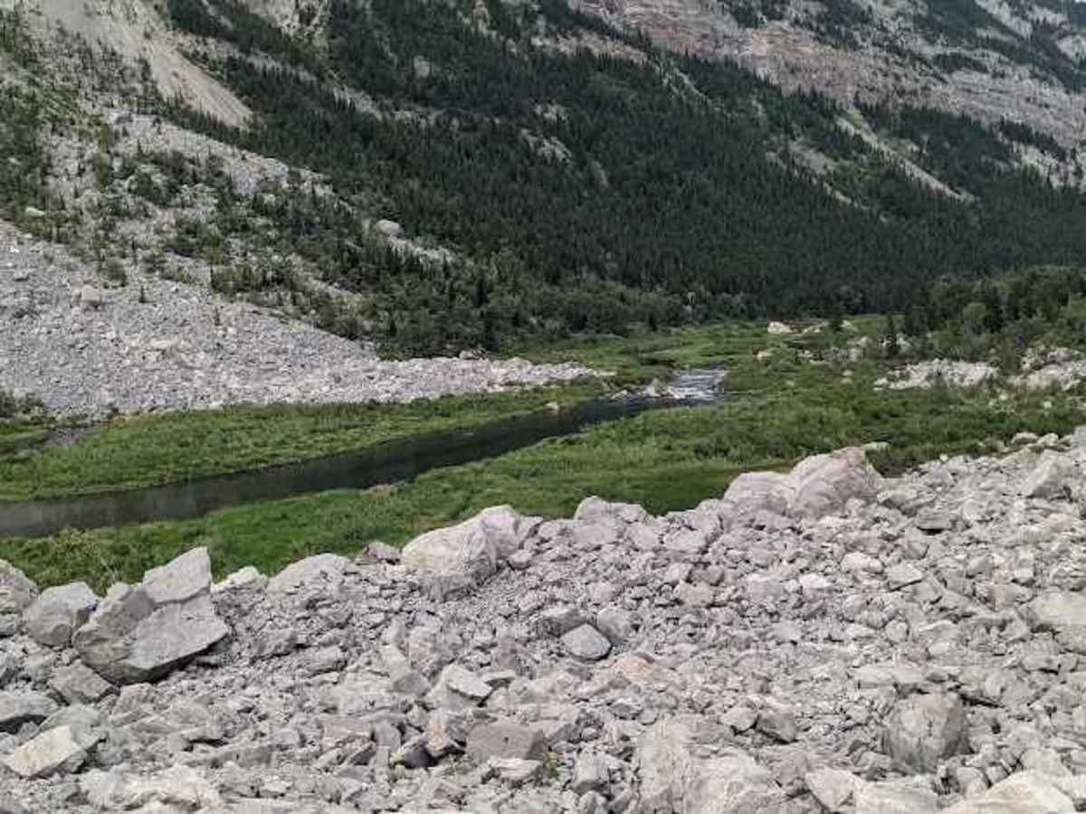
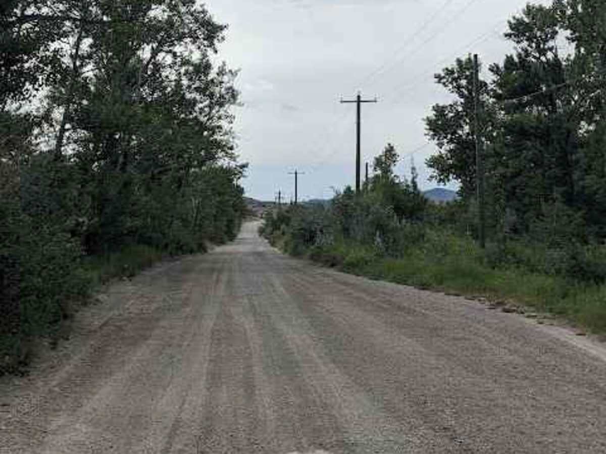
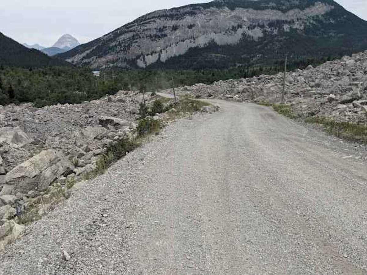
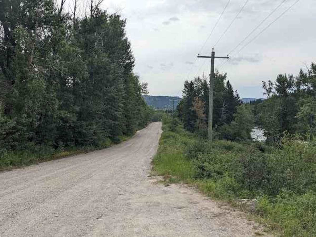
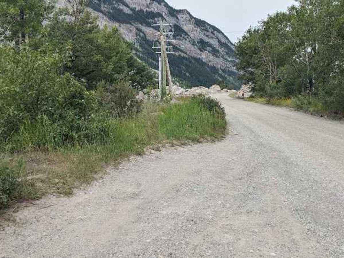
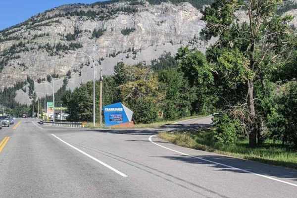
Frank Slide Old Road is an easy, 2.1-mile scenic gravel route suitable for all vehicle types that offers an up-close perspective of Canada's deadliest landslide. Following the original highway corridor through the massive boulder-strewn debris field of Turtle Mountain, this well-maintained path provides an intimate look at the historical disaster that cannot be experienced from the modern highway. Drivers will navigate a relatively flat path with a minimal elevation gain, making it an accessible journey for standard passenger cars, SUVs, and larger rigs alike. The gravel surface is generally smooth and well-graded, posing no major obstacles or technical challenges, though drivers should remain mindful of occasional washboards or loose stones. Situated in southwestern Alberta's Crowsnest Pass between the communities of Frank and Bellevue, this bypass serves as a tranquil, educational alternative to Highway 3. Accessible from either end right off the main highway, it is a must-drive historical spur for anyone traveling through the region during the snow-free spring, summer, and autumn months.
History
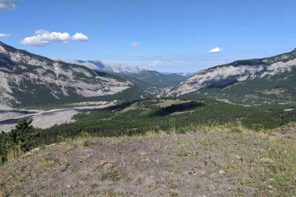
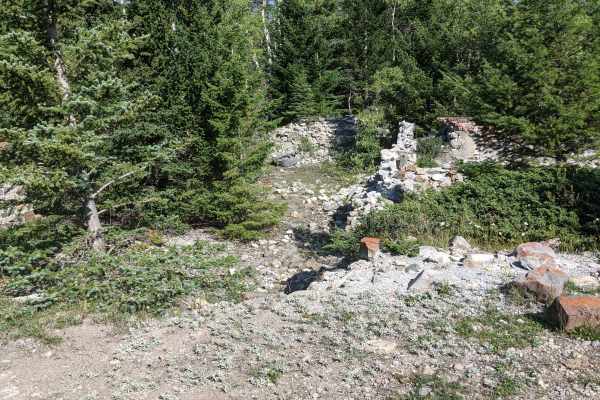
On April 29, 1903, 82 million tonnes of limestone collapsed from the peak of Turtle Mountain, burying a portion of the coal mining town of Frank in Canada's deadliest landslide. This route follows the original highway alignment that was subsequently built directly across the boulder-strewn slide debris before the modern Highway 3 was constructed.