
Dirt Bike Trails
Near Wickes, Arkansas
Explore All Dirt Bike Trails Near Wickes, Arkansas
Dirt Bike Trails Near Wickes, Arkansas
Discover the best dirt bike trails near you. Browse trail maps, check difficulty ratings, and find your next adventure — whether you're looking for a quick ride or an all-day expedition.
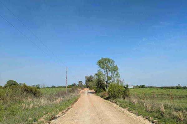
Route 4
This trail isn't maintained, but locals use it often to get between Wickes and Vandervoort, so it stays pretty passable. It's a bit rough in spots, and we had to clear a fallen tree when we went through. There's a river crossing with super clear water--perfect for a quick dip or to cool off your fee...
Learn more about Route 4
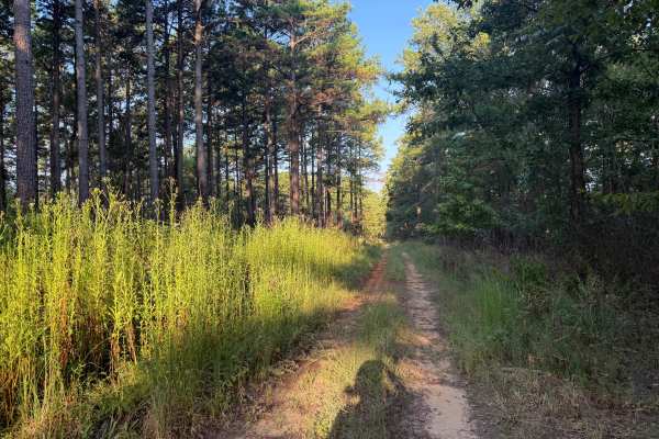
Flat Ridge Spur
This road is a forest service road that spurs off of FS N82A. It is mostly a dirt road with gravel in a few wash spots. There are ruts and potholes from rainstorms in the past. The center of the road is overgrown with weeds, and the bushes and trees along the side of the road overhang, except for th...
Learn more about Flat Ridge Spur
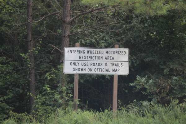
West Boundary
West Boundary is an easy, scenic gravel route ideal for beginners, families, and high-clearance vehicles looking to explore the beautiful Cossatot Mountains within the Ouachita National Forest. Running approximately 5.1 miles through stunning forested terrain near Vandervoort, Arkansas, this maintai...
Learn more about West Boundary
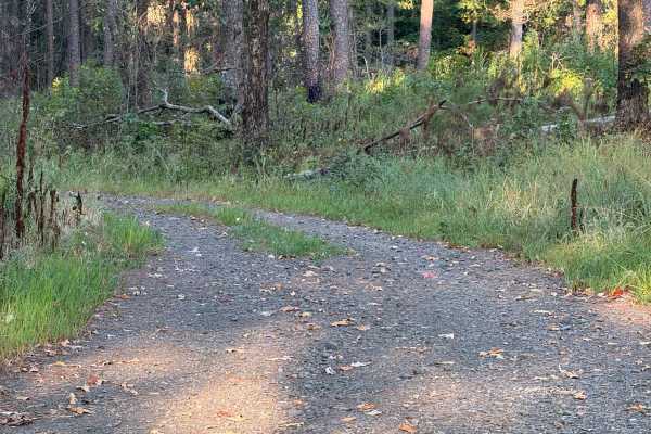
Flat Ridge
This is a Forest Service road that is covered with gravel. The road is a single-lane road giving access to the national Forest. This road has several potholes that fill with water and may cover the road during heavy rain. This road is easily traveled with any type of vehicle. This road is open to hi...
Learn more about Flat Ridge
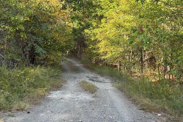
Vanish
This trail is an out-and-back trail that is covered in gravel and rock. The trail is very narrow at points, with small rock gardens, washes, and mud holes. The end of the trail offers an area for turning around. There is vegetation growing in the middle of the road as well as on the edges of the roa...
Learn more about Vanish
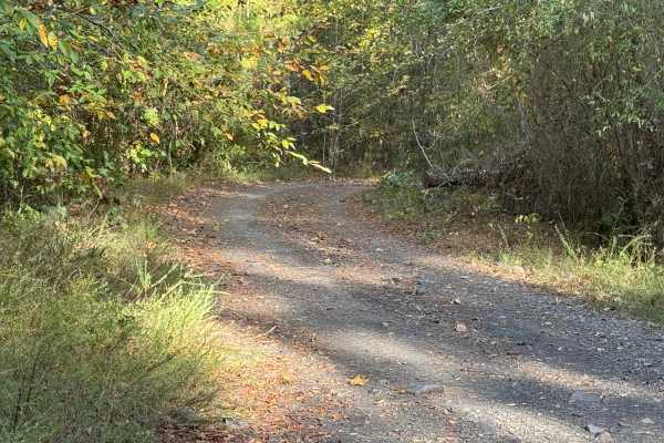
Note
This trail is an out-and-back trail that is covered in gravel and rock. The trail also offers dispersed camping within 150 feet of the trail. There is a nice dispersed camping spot at the end of the trail. The trail is very narrow with low-hanging limbs except for pinstriping. The trail ends about a...
Learn more about Note
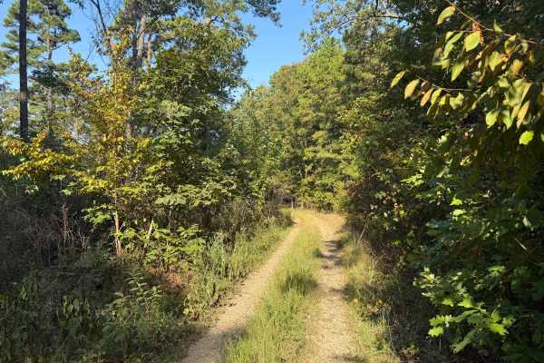
Coss
This trail is a two-track trail; it is an In-N-Out route. The trail is mostly gravel with rock gardens in several locations. This trail has trees and bushes hanging into the road, making the travel lane very narrow. The first part of this trail is relatively easy, and the last half of this trail bec...
Learn more about Coss
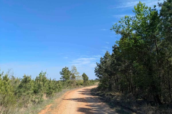
FR 20670
Forest Road 20670 is a well-maintained logging road that offers a scenic drive through remote forested terrain. The route passes through a U.S. Forest Service gate, which may be seasonally closed during the winter months--always check gate status before heading out. This road winds through a picture...
Learn more about FR 20670
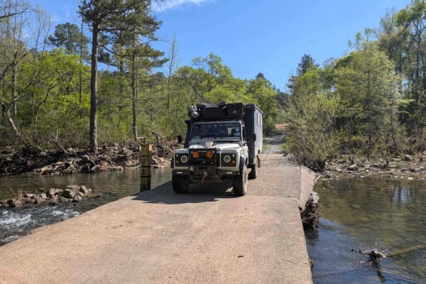
Polk Road
This trail begins high in the mountainous forest and descends into lush, green farmland, eventually leading to Route 4, which connects to the towns of Wickes and Vandervoort. It serves as an active logging route and follows a wide, generally well-maintained gravel road, though sections can be rocky ...
Learn more about Polk Road
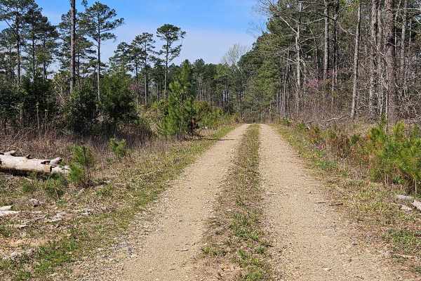
Drew Ridge
This trail borders private hunting leases to the south and National Forest land to the north. The current map shows that it's closed until 10/3, but a ranger confirmed that this road is open year-round. The trail is easy and offers many dispersed campsites on the north side of the road. At the end o...
Learn more about Drew Ridge
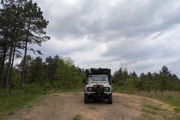
51701
This narrow dual-track trail is unmaintained and features a rocky surface, but it remains easy and enjoyable to drive with a capable vehicle. It winds through forested terrain where dry firewood is abundant, though fire restrictions should be checked before collecting or burning any. One or two pote...
Learn more about 51701
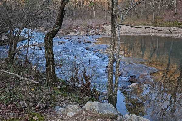
Kaia Trail
This trail is an out-and-back trail. It's a very fun trail with an amazing campsite at the end. The trail is very narrow;if done with a small vehicle, expect pinstriping. The trail is best done with a SXS. Expect a narrow trail with rock gardens, washouts, and other obstacles. The trail leads to oth...
Learn more about Kaia Trail
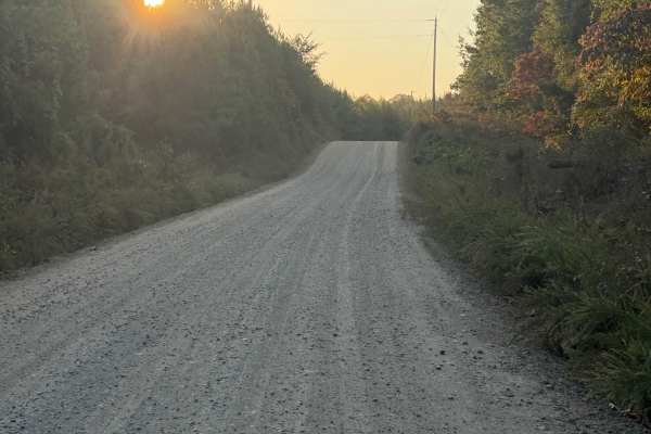
Polk Road 32
This is a county road, which is gravel over hard-packed dirt. This road has several sandy areas and several loose gravel areas due to a lack of rain. This road is well maintained; however, it could become slippery with heavy rain. There are several access points to the Ouachita National Forest. Ther...
Learn more about Polk Road 32
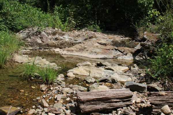
Round to Henson School Road
Round to Henson School Road is an easy, scenic 6.9-mile point-to-point route in the Ouachita National Forest perfect for beginners, families, and those seeking a relaxing drive with spectacular mountain views. This well-maintained gravel road winds through dense forest, climbing from a minimum eleva...
Learn more about Round to Henson School Road

Forest Service Road 176
This road is a rock-based road that is covered with gravel; there are areas with loose gravel, wash areas, and potholes. There is abundant wildlife. The road is typical for a Forest Service road and is easily traveled by most vehicles. The road may become muddy after heavy rains. This road crosses t...
Learn more about Forest Service Road 176

Cossatot - FS 176
This road is a rock-based road that is covered with gravel; there are areas with loose gravel, wash areas, and potholes. There is abundant wildlife. The road is typical for a Forest Service road and is easily traveled by most vehicles. The road may become muddy after heavy rains. This road is also c...
Learn more about Cossatot - FS 176
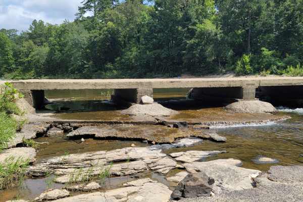
Cossatot River Campgrounds Route
This route takes you by several campground areas along the Cossatot River. You have access to camping, swimming, nature viewing, hiking, kayaking, fishing, gravel roads with awesome views, and more. There are elevation changes along the route. The Cossatot Natural Area State Park has modern restroom...
Learn more about Cossatot River Campgrounds Route

Polk County Road 634
This road is a rock based road that is covered with gravel, there are areas with loose gravel, wash areas and potholes. There is abundant wildlife. The road is typical for a forest service road and is easily traveled by most vehicles. The road may become muddy after heavy rains. This road ends at pr...
Learn more about Polk County Road 634

County Road 402
A rock-based road covered in gravel, with sections of loose gravel, washouts, and potholes. Typical of forest service roads, it's easily traveled by most vehicles but can get muddy after heavy rain. Wildlife is abundant. A low water crossing over Brushy Creek.
Learn more about County Road 402
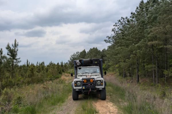
51707
This trail is a grassy two-track route that appears to see little use, with vegetation encroaching from both sides. Despite its overgrown appearance, the surface remains smooth and easy to drive. While maps indicate that the trail connects to another route, it actually ends abruptly in dense forest ...
Learn more about 51707
ATV trails near Wickes, Arkansas
Explore ATV-friendly trails near you. These trails are accessible for vehicles up to 50 inches wide, perfect for ATVs and smaller off-road machines.
Route 4
This trail isn't maintained, but locals use it often to get between Wickes and Vandervoort, so it stays pretty passable. It's a bit rough in spots, and we had to clear a fallen tree when we went through. There's a river crossing with super clear water--perfect for a quick dip or to cool off your fee...
Learn more about Route 4
Flat Ridge Spur
This road is a forest service road that spurs off of FS N82A. It is mostly a dirt road with gravel in a few wash spots. There are ruts and potholes from rainstorms in the past. The center of the road is overgrown with weeds, and the bushes and trees along the side of the road overhang, except for th...
Learn more about Flat Ridge Spur
West Boundary
West Boundary is an easy, scenic gravel route ideal for beginners, families, and high-clearance vehicles looking to explore the beautiful Cossatot Mountains within the Ouachita National Forest. Running approximately 5.1 miles through stunning forested terrain near Vandervoort, Arkansas, this maintai...
Learn more about West Boundary
Flat Ridge
This is a Forest Service road that is covered with gravel. The road is a single-lane road giving access to the national Forest. This road has several potholes that fill with water and may cover the road during heavy rain. This road is easily traveled with any type of vehicle. This road is open to hi...
Learn more about Flat Ridge
UTV/side-by-side trails near Wickes, Arkansas
Find UTV and side-by-side trails near you. These trails accommodate vehicles up to 60 inches wide, ideal for UTVs, side-by-sides, and wider off-road rigs.
Route 4
This trail isn't maintained, but locals use it often to get between Wickes and Vandervoort, so it stays pretty passable. It's a bit rough in spots, and we had to clear a fallen tree when we went through. There's a river crossing with super clear water--perfect for a quick dip or to cool off your fee...
Learn more about Route 4
Flat Ridge Spur
This road is a forest service road that spurs off of FS N82A. It is mostly a dirt road with gravel in a few wash spots. There are ruts and potholes from rainstorms in the past. The center of the road is overgrown with weeds, and the bushes and trees along the side of the road overhang, except for th...
Learn more about Flat Ridge Spur
West Boundary
West Boundary is an easy, scenic gravel route ideal for beginners, families, and high-clearance vehicles looking to explore the beautiful Cossatot Mountains within the Ouachita National Forest. Running approximately 5.1 miles through stunning forested terrain near Vandervoort, Arkansas, this maintai...
Learn more about West Boundary
Flat Ridge
This is a Forest Service road that is covered with gravel. The road is a single-lane road giving access to the national Forest. This road has several potholes that fill with water and may cover the road during heavy rain. This road is easily traveled with any type of vehicle. This road is open to hi...
Learn more about Flat Ridge
The onX Offroad Difference
onX Offroad combines trail photos, descriptions, difficulty ratings, width restrictions, seasonality, and more in a user-friendly interface. Available on all devices, with offline access and full compatibility with CarPlay and Android Auto. Discover what you're missing today!
Open Trail Map