Forest Service Road 176

Total Miles2
Technical Rating
1Easy
Best TimeSpring, Summer, Fall, Winter
Trail TypeFull-Width Road
Accessible By
Open Trail Map

Trail Overview

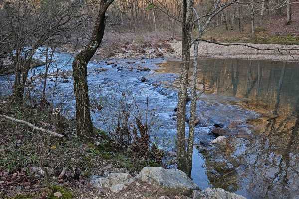
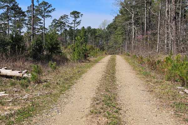
This road is a rock-based road that is covered with gravel; there are areas with loose gravel, wash areas, and potholes. There is abundant wildlife. The road is typical for a Forest Service road and is easily traveled by most vehicles. The road may become muddy after heavy rains. This road crosses the Cossatot River and passes through the Candy Creek Wildlife Management Area.

Photos of Forest Service Road 176

Difficulty

Potholes and washouts

Technical Rating

1

Forest Service Road 176 Trail can be accessed by the following ride types:

  • Single Track
  • 50 Inch
  • 60 Inch
  • High Clearance
  • Full Width

Forest Service Road 176 Map

The onX Offroad Difference

onX Offroad combines trail photos, descriptions, difficulty ratings, width restrictions, seasonality, and more in a user-friendly interface. Available on all devices, with offline access and full compatibility with CarPlay and Android Auto. Discover what you're missing today!

Open Trail Map