
Dirt Bike Trails
Near White Hills, Arizona
Explore All Dirt Bike Trails Near White Hills, Arizona
Dirt Bike Trails Near White Hills, Arizona
Discover the best dirt bike trails near you. Browse trail maps, check difficulty ratings, and find your next adventure — whether you're looking for a quick ride or an all-day expedition.
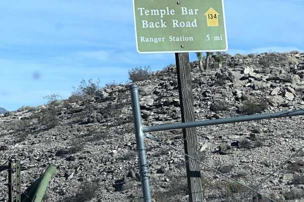
Temple Bar Back Road
This 23.5-mile point-to-point trail is an optional dirt route to gain access to the Temple Bar area within the Lake Mead National Recreation Area. The trail is mostly maintained dirt road with sections of deep sand as you pass through multiple washes. This trail is not recommended for 2WD or AWD veh...
Learn more about Temple Bar Back Road
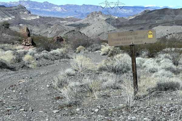
Eldorado Powerline Trail
This 6.6 mile point to point trail takes you along power lines up and through the Black Mountain Range. A portion of the trail crosses open desert as you approach the Black Mountains. Once you climb up and pass over, you have expansive views of the Lake Mohave valley. The trail then follows along mo...
Learn more about Eldorado Powerline Trail
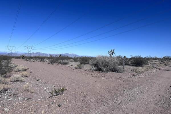
BLM Route 7020
BLM Route 7020 is a 9.9-mile point-to-point trail that follows along a set of high-voltage power lines and connects Temple Bar Road to Temple Bar Back Road. This trail was recently graded and has minimal erosion damage. The trail is passable by most stock AWD and 4WD vehicles.
Learn more about BLM Route 7020
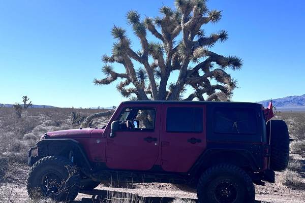
BLM Route 7090
BLM Route 7090 is a 7.1-mile point-to-point trail that connects Highway 93 to Temple Bar Back Road. There is a gate at the HWY 93 end of this trail, always close gates after passing through. There is no crossover at the entrance of this trail and it is only accessible to Northbound traffic on Highwa...
Learn more about BLM Route 7090

Pope Mine Loop
Pope Mine Loop is a 25.5-mile loop trail that passes through the Black Mountain Range. There is plenty to explore along this trail, with multiple abandoned mines and narrow slot canyons to hike. (Be cautious, as some vertical shaft mines are not fenced or filled in). At the turnaround point, take so...
Learn more about Pope Mine Loop
B1659
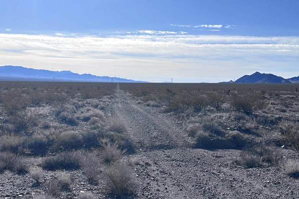
This 10.7-mile point-to-point trail traverses the open desert and gives access to several other trails heading into the Black Mountains. This trail is unmaintained and has many washes that cross the trail. One can use this trail to access the Eldorado Powerline Trail, the Ridgeline Overlook Trail, a...
Learn more about B1659

Jumbo Wash Road
This 11.5-mile point-to-point trail takes you down Jumbo Wash toward Willow Beach. The trail starts as an unmaintained dirt road with washed-out sections under 12 inches in depth. Once you enter the wash the trail changes to loose sand. There is a dispersed camping area at the junction with the west...
Learn more about Jumbo Wash Road
Middle Water Spring Trail
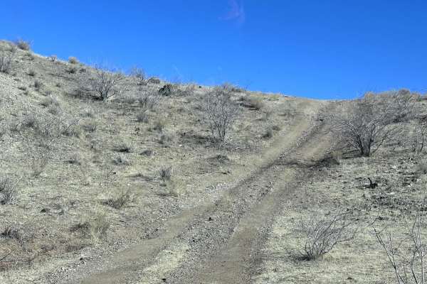
Middle Water Spring Trail is a 8.2-mile point-to-point trail named after the spring which it passes by. If the trail is started from Ridgeline Overlook you will pass through cattle grazing land and a narrow rock passage before descending from the Black Mountains. This trail is not heavily trafficked...
Learn more about Middle Water Spring Trail
BLM Route 7086
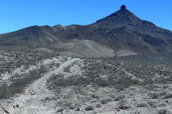
BLM Route 7086 is a 10.2-mile point-to-point that connects Temple Bar Road to Temple Bar Back Road. As you travel this trail you will pass Mojave Peak, a very noticeable land feature in the area. The majority of the trail is an unmaintained dirt road. There are a few sections of erosion damage up to...
Learn more about BLM Route 7086
BLM Route 7951
BLM Route 7951 is a short 3-mile point-to-point trail that is a great side trail while traveling on BLM Route 7086. Starting from the Temple Bar Back Road this trail begins with several hills as it passes from one wash to another. When passing through the multiple washes expect erosion damage up to ...
Learn more about BLM Route 7951
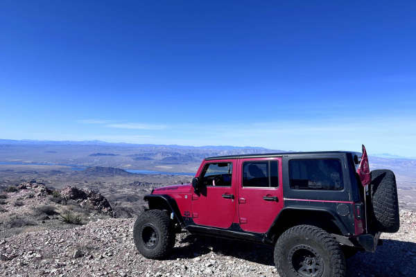
Ridgeline Overlook - B1701
This 15.4-mile out-and-back trail passes by several old mines while you climb up to the top of the ridge line in the Black Mountain Range. This is an active ranching area so be aware of livestock. You may also get lucky and see a warren of burros along this trail. This trail is passable by most AWD ...
Learn more about Ridgeline Overlook - B1701
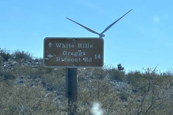
Greggs Hideout to Temple Bar
This 15.3 mile point-to-point trail connects the Temple Bar area to Gregg's Hideout area of the Lake Mead National Recreation Area. The trail is mostly narrow double track with several sections of loose sand and gravel which can cause 2WD vehicles to get stuck. Enjoy the scenic views of the Lake Mea...
Learn more about Greggs Hideout to Temple Bar
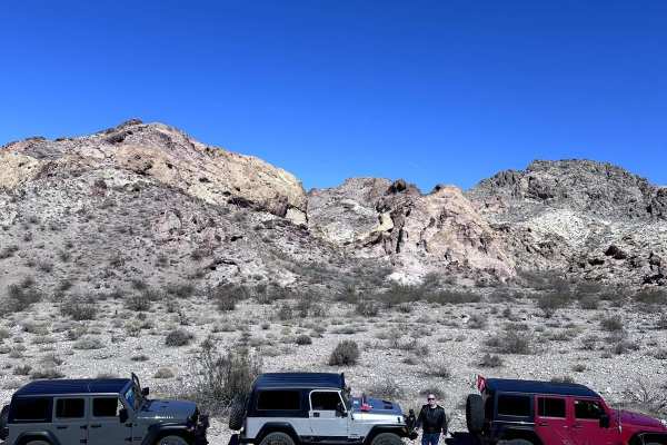
Backside Black Mountain Range - B1688
This 31-mile out-and-back trail takes you from the Cottonwood Bay Road up and down several washes of the Black Mountain Range. This is a very scenic trail that takes you through several different types of rock from Sandstone to Basaltic Lava Rock. There is a good chance of spotting a warren of burro...
Learn more about Backside Black Mountain Range - B1688
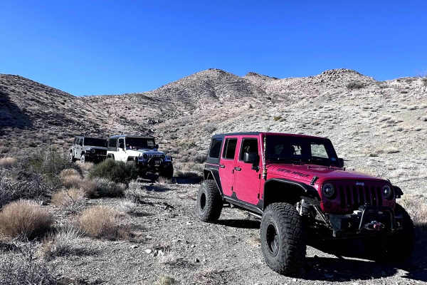
Coyote Spring
This 6-mile out-and-back trail takes you up into the Black Mountains to Coyote Spring. The trail begins from B1642/1645 Trail and heads into the Black Mountain Range. The trail begins as a rough single-vehicle road with the last 1/2 mile being the more difficult portion, with washed-out portions of ...
Learn more about Coyote Spring
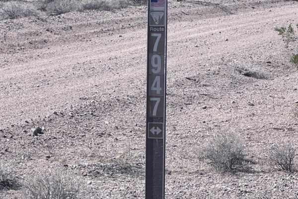
BLM Route 7947
BLM Route 7947 is an 11.9-mile point-to-point trail that parallels Detrital Wash and can be used to connect to several other trails in this area. This trail has many sections of erosion damage up to 12" in depth that crosses the trail. This trail is not heavily used and there is some overgrowth that...
Learn more about BLM Route 7947
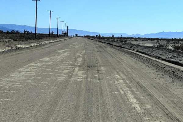
Antares Road
This 31.7 mile point-to-point trail takes you from Route 66 to N Pierce Ferry Road giving you access to the town of Meadview and Lake Mead National Recreation area. This is a well-maintained County Road with washboard sections. Any 2WD, AWD, or 4WD vehicle can traverse this trail with ease.
Learn more about Antares Road
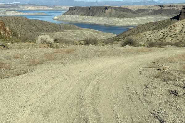
Gregg's Hideout Trail
This 37.2 mile out-and-back trail takes you to Gregg's Hideout Cove on Lake Mead. The first 9 miles of this trail is maintained county roads. Once you enter the Lake Mead Recreation Area the road is not maintained and has sections of loose gravel and washes up to 10" in depth. There is a camping are...
Learn more about Gregg's Hideout Trail
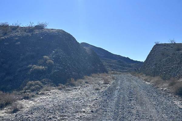
Old US 93 Road
This 14.4 mile out and back trail is a remnant of the original US HWY 93 built in 1926. Once paved this dirt road passes through mountain cuts and over filled in washes. This trail is relatively smooth to travel across. There are several side trails that are used for maintaining the power lines in t...
Learn more about Old US 93 Road
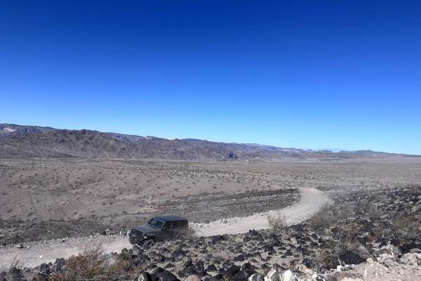
Mead Liberty/Pheonix Powerline Road
This 5.3-mile point-to-point trail traverses between HWY93 and Jumbo Wash Road. There is a gate at the Highway 93 end which you must ensure remains closed after passing through. This trail runs along a set of power lines. This road has recently been maintained and currently is passable by any vehicl...
Learn more about Mead Liberty/Pheonix Powerline Road
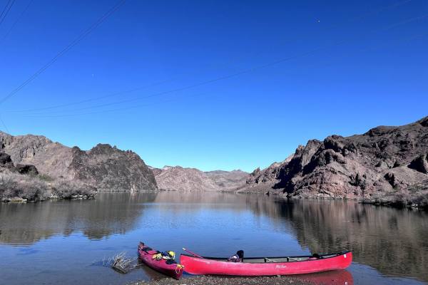
Bighorn Cove Road
This 8.8-mile out-and-back trail takes you down to Bighorn Cove on Lake Mohave. This road was recently maintained and repaired. This trail winds down mountain spurs and then drops into the wash for the last mile. This is a very scenic road and a must see when in the area. Unfortunately, a recent fir...
Learn more about Bighorn Cove Road
ATV trails near White Hills, Arizona
Explore ATV-friendly trails near you. These trails are accessible for vehicles up to 50 inches wide, perfect for ATVs and smaller off-road machines.
Temple Bar Back Road
This 23.5-mile point-to-point trail is an optional dirt route to gain access to the Temple Bar area within the Lake Mead National Recreation Area. The trail is mostly maintained dirt road with sections of deep sand as you pass through multiple washes. This trail is not recommended for 2WD or AWD veh...
Learn more about Temple Bar Back Road
Eldorado Powerline Trail
This 6.6 mile point to point trail takes you along power lines up and through the Black Mountain Range. A portion of the trail crosses open desert as you approach the Black Mountains. Once you climb up and pass over, you have expansive views of the Lake Mohave valley. The trail then follows along mo...
Learn more about Eldorado Powerline Trail
BLM Route 7020
BLM Route 7020 is a 9.9-mile point-to-point trail that follows along a set of high-voltage power lines and connects Temple Bar Road to Temple Bar Back Road. This trail was recently graded and has minimal erosion damage. The trail is passable by most stock AWD and 4WD vehicles.
Learn more about BLM Route 7020
BLM Route 7090
BLM Route 7090 is a 7.1-mile point-to-point trail that connects Highway 93 to Temple Bar Back Road. There is a gate at the HWY 93 end of this trail, always close gates after passing through. There is no crossover at the entrance of this trail and it is only accessible to Northbound traffic on Highwa...
Learn more about BLM Route 7090
UTV/side-by-side trails near White Hills, Arizona
Find UTV and side-by-side trails near you. These trails accommodate vehicles up to 60 inches wide, ideal for UTVs, side-by-sides, and wider off-road rigs.
Temple Bar Back Road
This 23.5-mile point-to-point trail is an optional dirt route to gain access to the Temple Bar area within the Lake Mead National Recreation Area. The trail is mostly maintained dirt road with sections of deep sand as you pass through multiple washes. This trail is not recommended for 2WD or AWD veh...
Learn more about Temple Bar Back Road
Eldorado Powerline Trail
This 6.6 mile point to point trail takes you along power lines up and through the Black Mountain Range. A portion of the trail crosses open desert as you approach the Black Mountains. Once you climb up and pass over, you have expansive views of the Lake Mohave valley. The trail then follows along mo...
Learn more about Eldorado Powerline Trail
BLM Route 7020
BLM Route 7020 is a 9.9-mile point-to-point trail that follows along a set of high-voltage power lines and connects Temple Bar Road to Temple Bar Back Road. This trail was recently graded and has minimal erosion damage. The trail is passable by most stock AWD and 4WD vehicles.
Learn more about BLM Route 7020
BLM Route 7090
BLM Route 7090 is a 7.1-mile point-to-point trail that connects Highway 93 to Temple Bar Back Road. There is a gate at the HWY 93 end of this trail, always close gates after passing through. There is no crossover at the entrance of this trail and it is only accessible to Northbound traffic on Highwa...
Learn more about BLM Route 7090
The onX Offroad Difference
onX Offroad combines trail photos, descriptions, difficulty ratings, width restrictions, seasonality, and more in a user-friendly interface. Available on all devices, with offline access and full compatibility with CarPlay and Android Auto. Discover what you're missing today!
Open Trail Map