
Dirt Bike Trails
Near Warm River, Idaho
Explore All Dirt Bike Trails Near Warm River, Idaho
Dirt Bike Trails Near Warm River, Idaho
Discover the best dirt bike trails near you. Browse trail maps, check difficulty ratings, and find your next adventure — whether you're looking for a quick ride or an all-day expedition.
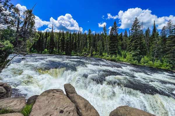
Sheep Falls
This trail winds along dirt roads headed to the remote corner of Yellowstone. But just before you reach the park is a trail that leads to a lesser-known gem. The first part of the trail is pretty easy and is just a gravel road. After turning off it becomes increasingly narrow and more complex as it ...
Learn more about Sheep Falls
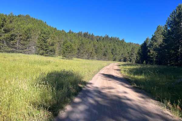
South Antelope Flat Road (20553)
This is a main byway on Forest Service Road. It is well-maintained and can be traversed by a 2WD vehicle most of the time. Caution should be exercised during inclement weather but this is a good gravel/dirt-based road. You will be traveling through some very beautiful forested areas that are broken ...
Learn more about South Antelope Flat Road (20553)
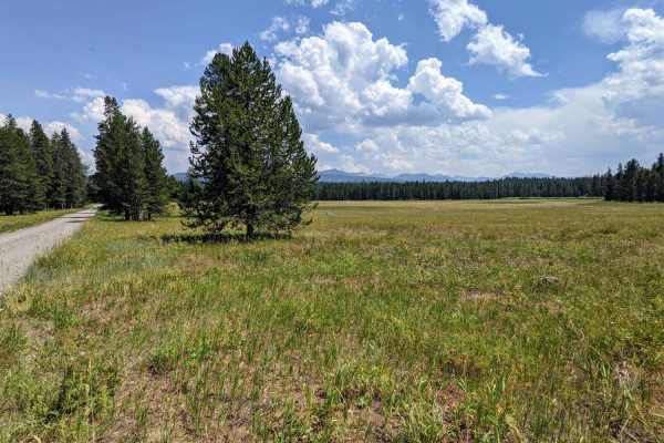
Jackass Loop Trail (FS 264)
Jackass Loop is a well-maintained two-way dirt road that crosses the Idaho-Wyoming state boundary in the Targhee National Forest. Running parallel to the Ashton-Flagg Ranch Road, the trail weaves through dense birch and pine trees that frequently give way to sprawling meadows and breath-taking views...
Learn more about Jackass Loop Trail (FS 264)
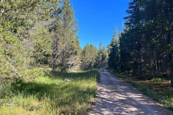
Sadorus Hill Road (20169)
This is a Forest Service Road that connects to Highway 20 and the St. Anthony area. People can go to the St. Anthony Sand Dunes via roads along this path. There are also numerous 50-inch restricted trails along this road. You will need a higher-clearance vehicle to get over some of the washed areas ...
Learn more about Sadorus Hill Road (20169)
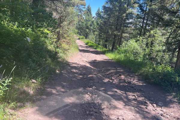
July Creek Road (20303)
This is a main byway Forest Service Road that will connect Highway 20 (through additional roads) and the St. Anthony area if other roads are followed. People can go to the St. Anthony Sand Dunes via roads along this path. You will need a higher clearance vehicle to get over some of the washed areas ...
Learn more about July Creek Road (20303)
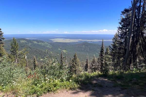
Bishop Mountain Road (20120)
This is a fun trail that has some great views as you get near the top. The destination is at the top: an old fire lookout tower and cabin used for those assigned to it when it was operational. While you can't climb the tower, you can get a glimpse of the views that they had to the east and north thr...
Learn more about Bishop Mountain Road (20120)
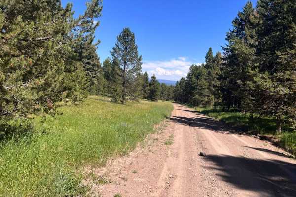
North Antelope Flat Road (20168)
This is a main byway on Forest Service Road. It is well-maintained and can be traversed by a 2WD vehicle most of the time. Caution should be exercised during inclement weather but this is a good gravel/dirt-based road. You will be traveling through some very beautiful forested areas that are broken ...
Learn more about North Antelope Flat Road (20168)
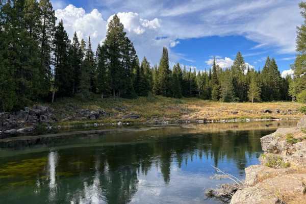
Box Canyon Trailhead
This dirt trail runs through private seasonal cabins, so it's slow going for dust control. The trail is well maintained until reaching the furthest out point where it turns off for a hiking trail and a hydro-electric damn that one can walk out to explore. Watch for some pretty good-sized potholes ju...
Learn more about Box Canyon Trailhead
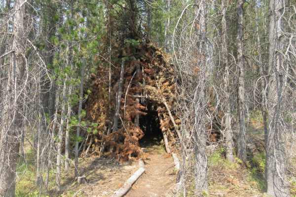
Buffalo River via Fish Creek
This is a fun Forest Service Road that will take you up Fish Creek Road where you will turn onto Chick Creek Road up to almost 8,000 feet with spectacular views of the area to the west of Yellowstone Park. You will then descend back down to the valley and end at a fabulous spring and the Buffalo RIv...
Learn more about Buffalo River via Fish Creek
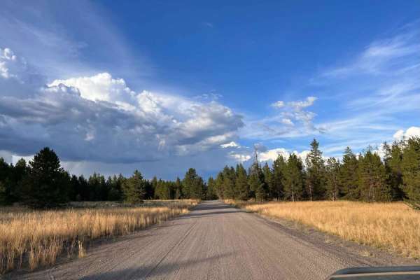
Butterfly Loop
This is the dirt trail portion of Butterfly Loop. It could be run from the highway towards the river ending at the Buttermilk Campground, with river access and a boat launch. Or this trail can be picked up from the campground and run out to the highway. There is another way to the highway that is al...
Learn more about Butterfly Loop
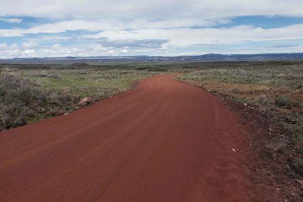
Civil Defense Cave
The Civil Defense Cave trail is a well-maintained, grated road for the first 4 miles until the turn off of Crooked Road onto Civil Defense Cave Road. The last mile is not grated but still well traveled. I would recommend a higher clearance vehicle as there is potential for lower vehicles to bottom o...
Learn more about Civil Defense Cave
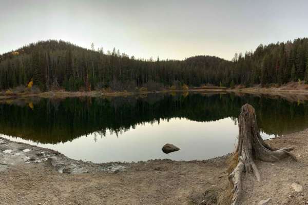
Packsaddle Lake
This route takes you to a natural lake named Packsaddle Lake from the northern edges of the Big Hole Range. There are amazing views of the Tetons along the way, including views across the Snake River Plain and of Big Southern Butte, the Menan Buttes, the Bitterroot, Lemhi, and Lost River Ranges. Thi...
Learn more about Packsaddle Lake
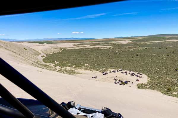
Beer Run
The trail starts near Saint Anthony Sand Dunes in open desert cattle land. The route, then takes you through forests by the Island Park Reservoir, and ends by following between the road and Henrys Fork. The trail is easy with only two minor ledges that could be avoided by taking the road. Half of t...
Learn more about Beer Run
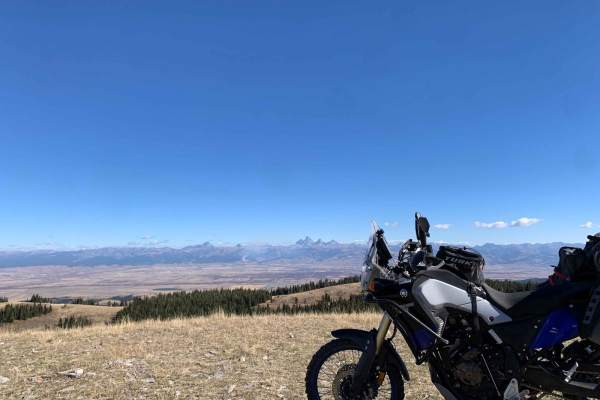
Relay Ridge
Want one of the best views of the Tetons outside Grand Teton National Park? Relay Ridge is the ride just for that. You start near Green Canyon Hot Springs without no idea of how picturesque of a view you are about to experience climbing to just under 9k feet (one of the highest points in the Big Hol...
Learn more about Relay Ridge
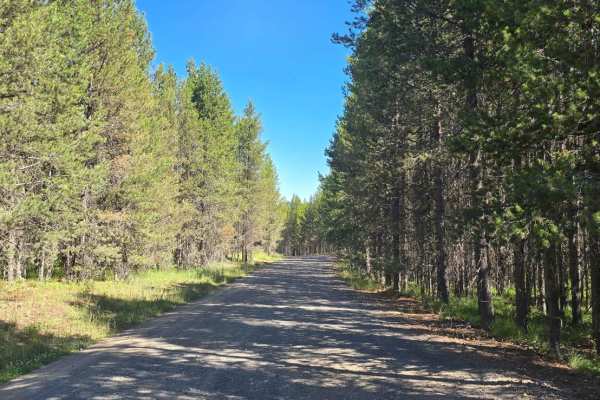
Stamp Meadows
This is a graded trail that connects Yale-Kilgore Road to Island Park Village. The trail is maintained in both the summer and the winter. There are multiple side trails to explore. There is also dispersed camping along this trail. There are multiple above-grade stream crossings. Overall, this is a v...
Learn more about Stamp Meadows
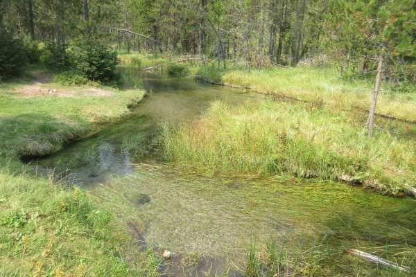
Fish - Chick Creek Roads
This is a fun ride on Forest Service roads that travels through some very picturesque woods. Along the path there are streams, meadows and views but watch out for the wildlife. It is not uncommon to see moose, deer and other wildlife through this abundantly rich area of vegetation. At the end of the...
Learn more about Fish - Chick Creek Roads
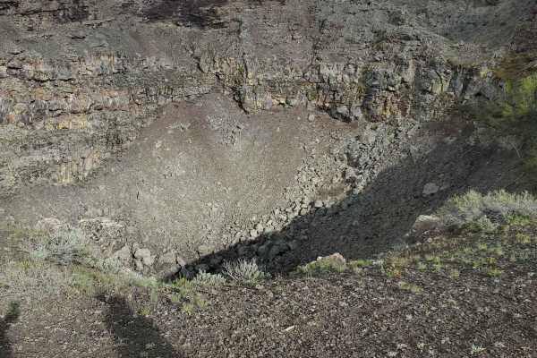
Collapsed Lava Dome Trail
The terrain is pockmarked with collapsed lava tubes and lava domes that have come to form the hills and valleys of this area. While the trail is relatively moderately traversed, lava rock pops out of the dirt and could cause potential issues with tires and low-clearance vehicles. It is not maintaine...
Learn more about Collapsed Lava Dome Trail
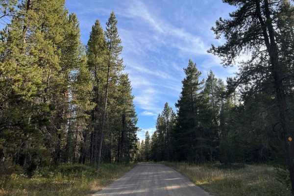
Flat Rock of Potholes
This is a wide dusty gravel trail through tall trees with no good views. There are two extensive dispersed campsites with camping areas on either end of the trail. About 20-30 trailer campers were packed into each area. This trail is quite rutted with lots of large potholes, so it is slow going. A f...
Learn more about Flat Rock of Potholes
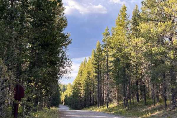
Coffee Pot
This is a wide dirt and gravel trail through very tall trees. The trail is grated and well maintained up to the Coffee Pot Campground. There is no day use or river access at the campground. Beyond the campground, the trail becomes rutted with many large potholes, continuing to the end. It's pretty s...
Learn more about Coffee Pot
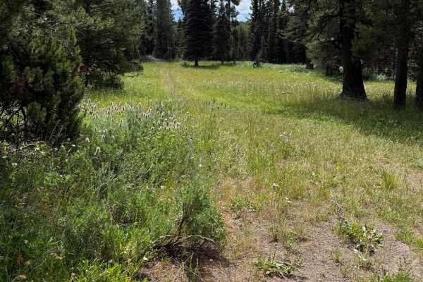
Graham Springs - FS 222
This is one of the most enjoyable sections of the trail. Traveling from north to south, the route begins in an open meadow where the track is faint but easy to follow before entering a stunning pine forest. From there, the trail winds gracefully through the trees, offering a peaceful and scenic ride...
Learn more about Graham Springs - FS 222
ATV trails near Warm River, Idaho
Explore ATV-friendly trails near you. These trails are accessible for vehicles up to 50 inches wide, perfect for ATVs and smaller off-road machines.
Sheep Falls
This trail winds along dirt roads headed to the remote corner of Yellowstone. But just before you reach the park is a trail that leads to a lesser-known gem. The first part of the trail is pretty easy and is just a gravel road. After turning off it becomes increasingly narrow and more complex as it ...
Learn more about Sheep Falls
South Antelope Flat Road (20553)
This is a main byway on Forest Service Road. It is well-maintained and can be traversed by a 2WD vehicle most of the time. Caution should be exercised during inclement weather but this is a good gravel/dirt-based road. You will be traveling through some very beautiful forested areas that are broken ...
Learn more about South Antelope Flat Road (20553)
Jackass Loop Trail (FS 264)
Jackass Loop is a well-maintained two-way dirt road that crosses the Idaho-Wyoming state boundary in the Targhee National Forest. Running parallel to the Ashton-Flagg Ranch Road, the trail weaves through dense birch and pine trees that frequently give way to sprawling meadows and breath-taking views...
Learn more about Jackass Loop Trail (FS 264)
Sadorus Hill Road (20169)
This is a Forest Service Road that connects to Highway 20 and the St. Anthony area. People can go to the St. Anthony Sand Dunes via roads along this path. There are also numerous 50-inch restricted trails along this road. You will need a higher-clearance vehicle to get over some of the washed areas ...
Learn more about Sadorus Hill Road (20169)
UTV/side-by-side trails near Warm River, Idaho
Find UTV and side-by-side trails near you. These trails accommodate vehicles up to 60 inches wide, ideal for UTVs, side-by-sides, and wider off-road rigs.
Sheep Falls
This trail winds along dirt roads headed to the remote corner of Yellowstone. But just before you reach the park is a trail that leads to a lesser-known gem. The first part of the trail is pretty easy and is just a gravel road. After turning off it becomes increasingly narrow and more complex as it ...
Learn more about Sheep Falls
South Antelope Flat Road (20553)
This is a main byway on Forest Service Road. It is well-maintained and can be traversed by a 2WD vehicle most of the time. Caution should be exercised during inclement weather but this is a good gravel/dirt-based road. You will be traveling through some very beautiful forested areas that are broken ...
Learn more about South Antelope Flat Road (20553)
Jackass Loop Trail (FS 264)
Jackass Loop is a well-maintained two-way dirt road that crosses the Idaho-Wyoming state boundary in the Targhee National Forest. Running parallel to the Ashton-Flagg Ranch Road, the trail weaves through dense birch and pine trees that frequently give way to sprawling meadows and breath-taking views...
Learn more about Jackass Loop Trail (FS 264)
Sadorus Hill Road (20169)
This is a Forest Service Road that connects to Highway 20 and the St. Anthony area. People can go to the St. Anthony Sand Dunes via roads along this path. There are also numerous 50-inch restricted trails along this road. You will need a higher-clearance vehicle to get over some of the washed areas ...
Learn more about Sadorus Hill Road (20169)
The onX Offroad Difference
onX Offroad combines trail photos, descriptions, difficulty ratings, width restrictions, seasonality, and more in a user-friendly interface. Available on all devices, with offline access and full compatibility with CarPlay and Android Auto. Discover what you're missing today!
Open Trail Map