
Dirt Bike Trails
Near Valley Forge, Tennessee
Explore All Dirt Bike Trails Near Valley Forge, Tennessee
Dirt Bike Trails Near Valley Forge, Tennessee
Discover the best dirt bike trails near you. Browse trail maps, check difficulty ratings, and find your next adventure — whether you're looking for a quick ride or an all-day expedition.
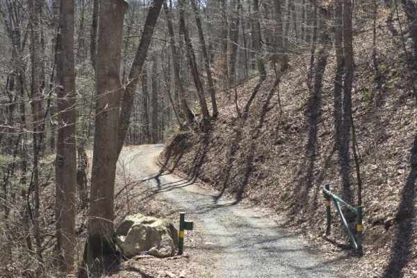
Cedar Gap
Cedar Gap Trail is an easy dirt route located within Cherokee National Forest, offering a quiet out-and-back drive through lightly maintained forest terrain. The trail is primarily a single-lane dirt path with periodic pull-offs and larger clearings that allow vehicles to pass or stop comfortably. O...
Learn more about Cedar Gap
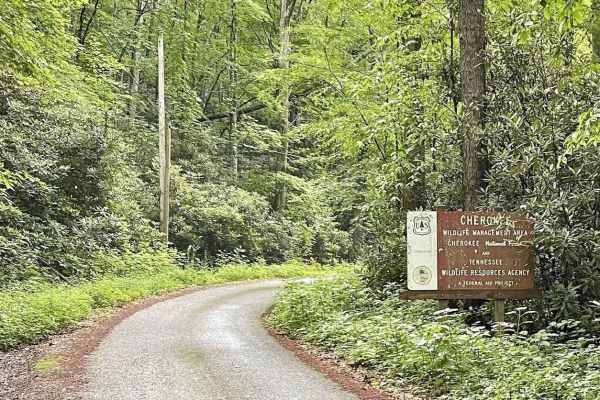
Little Stoney Creek/Laurel Fork
A nice, simple trail connecting Watauga Lake and Dennis Cove Campground through the Cherokee National Forest. There are a few decent camping spots, no cellular service, and minimal traffic. However, it is single lane in most places and extremely curvy with elevation changes and many blind spots, so ...
Learn more about Little Stoney Creek/Laurel Fork
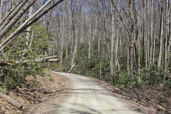
Laurel Fork
Laurel Fork is a scenic gravel route that offers a relaxed drive with occasional exposure and limited passing opportunities. The road is primarily one lane with tight curves, requiring drivers to remain alert for oncoming traffic and use designated pull-offs when available. The surface is generally ...
Learn more about Laurel Fork
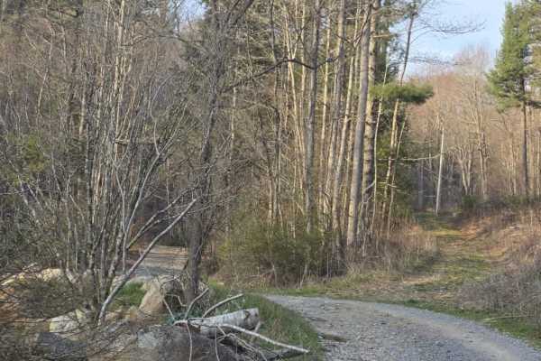
Laurel Mountain / White Rock
Laurel Mountain / White Rock is a moderately easy trail that offers a mix of dirt and rock surfaces with enough variation to keep drivers engaged. The route features scattered ruts from rain, shelf road sections, and a series of tight curves that require attention to positioning and speed. While the...
Learn more about Laurel Mountain / White Rock
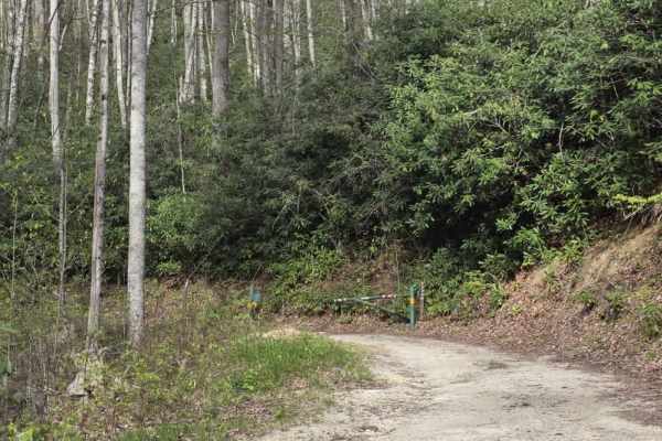
Little Pond Mountain
Little Pond Mountain is a sandy spur off Little Stoney Creek that offers a slightly more varied driving experience while remaining approachable for most drivers. The surface is primarily sand with intermittent rocky sections that add light variation. Traction can change depending on conditions, and ...
Learn more about Little Pond Mountain
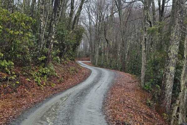
Little Stoney Creek
Little Stoney Creek Road is a scenic mountain route that winds along Little Stoney Creek just outside of Hampton, Tennessee. Nestled within the Cherokee National Forest, this trail offers a peaceful ride through dense hardwood forest and classic Appalachian terrain. The road is primarily gravel with...
Learn more about Little Stoney Creek
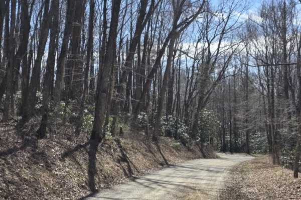
Walnut Mountain Road
Walnut Mountain Road is an easy gravel route that winds through a mix of rural and forested terrain, including sections of the Cherokee National Forest. The road is generally wide enough for two vehicles and follows gentle grades, making it accessible for most drivers under normal conditions. Along ...
Learn more about Walnut Mountain Road
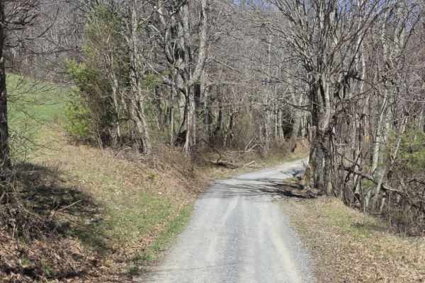
Heaton Branch Road
Heaton Branch Road is an easy gravel route that offers a straightforward drive with a few features that require driver awareness. The road consists of a traditional gravel surface and includes numerous twists and turns, making it important to stay attentive, especially when visibility is limited aro...
Learn more about Heaton Branch Road
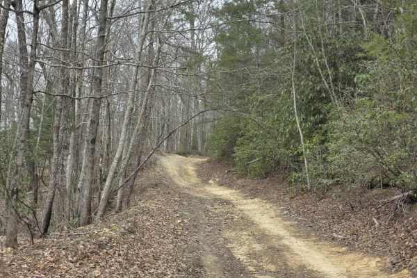
Upper Briar Creek Spur - FS 4354A
Upper Briar Creek Spur (FS 4354A) is a moderately technical trail that begins with immediate obstacles and maintains a more rugged character throughout. Early in the route, a downed tree creates a low-clearance hazard that can be especially problematic for lifted vehicles, requiring careful approach...
Learn more about Upper Briar Creek Spur - FS 4354A
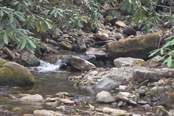
Rocky Branch Road
Rocky Branch Road is a moderately easy trail that offers a mix of gravel terrain with light obstacles and access to several nearby hiking areas. The route is primarily one lane with occasional pull-offs for passing, requiring drivers to remain aware of oncoming traffic. The surface includes ruts and...
Learn more about Rocky Branch Road
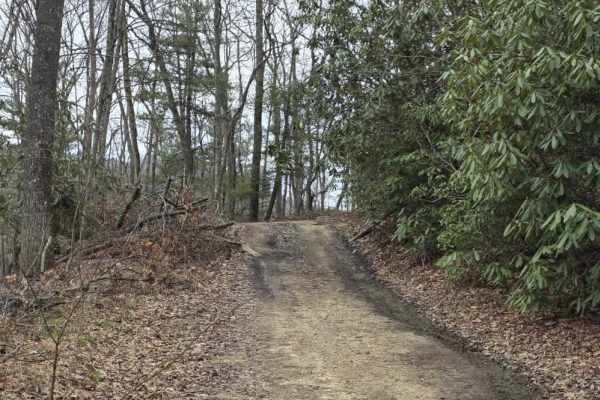
Upper Briar Creek - FS 4354
Upper Briar Creek (FS 4354) is a moderately easy trail that offers a mix of terrain features and gradually becomes more rugged as you progress. The route begins as a single-lane trail with scattered ruts, protruding rocks, and occasional sandy sections. Several mud holes are present throughout, whic...
Learn more about Upper Briar Creek - FS 4354
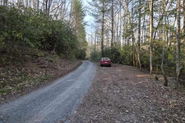
Bitter End - Lacy Trap
Bitter End – Lacy Trap is a moderately easy out-and-back trail that offers a mix of surface variation and light obstacles throughout. The trail begins with an entrance that may appear to lead onto private land, but it is a designated route—continue through the gate and cross both cattle guards to ac...
Learn more about Bitter End - Lacy Trap
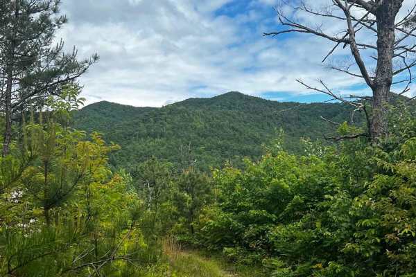
Irishman Branch
Take a quick trip through the mountains on this scenic forest service road. There are multiple water bars (rain/erosion control mounds) that can catch you by surprise, so use caution throughout the trail. There is one spot in particular about halfway up the trail that stays muddy and rutted out; cou...
Learn more about Irishman Branch
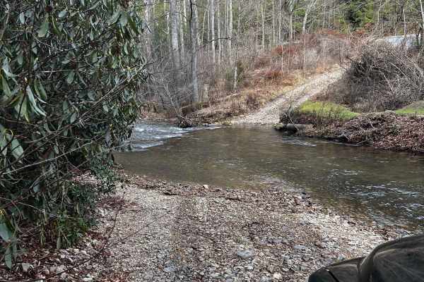
Dicks Creek to Dark Hollow (Unicoi to Erwin)
This is an intermediate to advanced trail depending on the vehicle being used. There are multiple water crossings, logs, rocks, and steep-off camber sections. If you're using a full-size vehicle be cautious of narrow trail spots and low-hanging tree branches. Water crossings can be dangerous after a...
Learn more about Dicks Creek to Dark Hollow (Unicoi to Erwin)
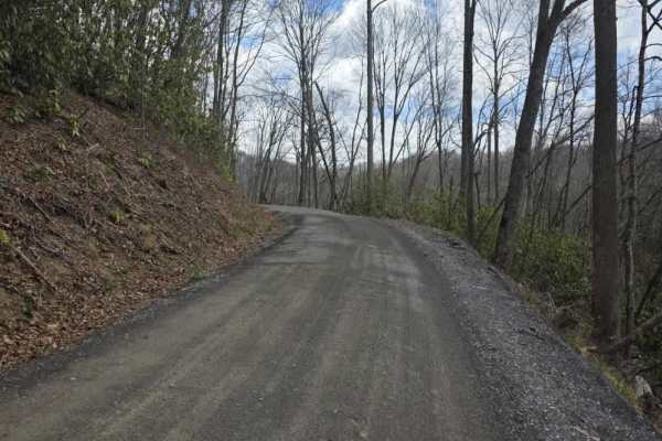
Red Fork Road
Red Fork Road is an easy, graded gravel route that provides a smooth and accessible drive with year-round usability. The road surface is well-maintained and follows gentle grades, making it suitable for a wide range of vehicles under normal conditions. The route is straightforward and does not intro...
Learn more about Red Fork Road
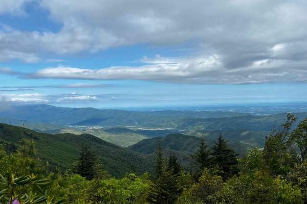
The Beauty Spot
Nestled in the heart of the Unaka mountains, the Beauty Spot trail (FS 230) offers a captivating experience for adventure seekers and nature enthusiasts alike. With its rugged terrain and awe-inspiring views of the majestic Smoky Mountains, this trail is a true gem waiting to be discovered. Get read...
Learn more about The Beauty Spot

Ephraim Road - FS 5583
Ephraim Road (FS 5583) is primarily an easy forest road that offers a straightforward drive with a gradual change in terrain as you progress. The route begins as a well-maintained gravel road with gentle grades and a predictable surface, making it accessible for most vehicles under normal conditions...
Learn more about Ephraim Road - FS 5583
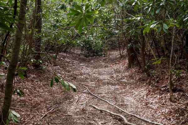
526
Trail 526 begins as a relatively easy route with small loose rock and occasional puddles, winding through dense rhododendron thickets that create a lush, almost jungle-like atmosphere. The trail passes a storm shelter and gradually narrows as the vegetation thickens into a low canopy tunnel. While t...
Learn more about 526
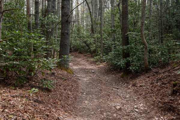
326
Trail 326 forms a scenic .6-mile loop branching off Trail 26, offering a mellow ride through thick rhododendron thickets and dense canopy cover that gives the route a lush, jungle-like ambiance. The trail is mostly smooth with a few small roots, puddles, and shallow ruts, making it accessible and en...
Learn more about 326
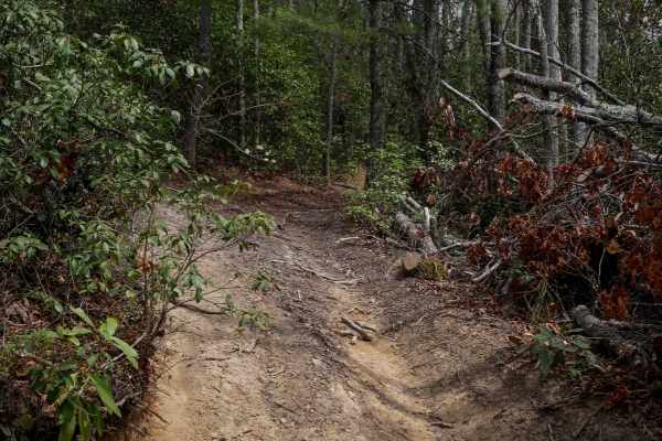
24
Trail 24 is a short, quarter-mile connector between Trails 26 and 28. It features one steep corner that switchbacks up the hill, followed by a steep descent down to 28. The trail is mostly smooth with hardly any rocks, just shallow ruts. It's lined with rhododendron, and logs have been cut back to c...
Learn more about 24
ATV trails near Valley Forge, Tennessee
Explore ATV-friendly trails near you. These trails are accessible for vehicles up to 50 inches wide, perfect for ATVs and smaller off-road machines.
Cedar Gap
Cedar Gap Trail is an easy dirt route located within Cherokee National Forest, offering a quiet out-and-back drive through lightly maintained forest terrain. The trail is primarily a single-lane dirt path with periodic pull-offs and larger clearings that allow vehicles to pass or stop comfortably. O...
Learn more about Cedar Gap
Little Stoney Creek/Laurel Fork
A nice, simple trail connecting Watauga Lake and Dennis Cove Campground through the Cherokee National Forest. There are a few decent camping spots, no cellular service, and minimal traffic. However, it is single lane in most places and extremely curvy with elevation changes and many blind spots, so ...
Learn more about Little Stoney Creek/Laurel Fork
Laurel Fork
Laurel Fork is a scenic gravel route that offers a relaxed drive with occasional exposure and limited passing opportunities. The road is primarily one lane with tight curves, requiring drivers to remain alert for oncoming traffic and use designated pull-offs when available. The surface is generally ...
Learn more about Laurel Fork
Laurel Mountain / White Rock
Laurel Mountain / White Rock is a moderately easy trail that offers a mix of dirt and rock surfaces with enough variation to keep drivers engaged. The route features scattered ruts from rain, shelf road sections, and a series of tight curves that require attention to positioning and speed. While the...
Learn more about Laurel Mountain / White Rock
UTV/side-by-side trails near Valley Forge, Tennessee
Find UTV and side-by-side trails near you. These trails accommodate vehicles up to 60 inches wide, ideal for UTVs, side-by-sides, and wider off-road rigs.
Cedar Gap
Cedar Gap Trail is an easy dirt route located within Cherokee National Forest, offering a quiet out-and-back drive through lightly maintained forest terrain. The trail is primarily a single-lane dirt path with periodic pull-offs and larger clearings that allow vehicles to pass or stop comfortably. O...
Learn more about Cedar Gap
Little Stoney Creek/Laurel Fork
A nice, simple trail connecting Watauga Lake and Dennis Cove Campground through the Cherokee National Forest. There are a few decent camping spots, no cellular service, and minimal traffic. However, it is single lane in most places and extremely curvy with elevation changes and many blind spots, so ...
Learn more about Little Stoney Creek/Laurel Fork
Laurel Fork
Laurel Fork is a scenic gravel route that offers a relaxed drive with occasional exposure and limited passing opportunities. The road is primarily one lane with tight curves, requiring drivers to remain alert for oncoming traffic and use designated pull-offs when available. The surface is generally ...
Learn more about Laurel Fork
Laurel Mountain / White Rock
Laurel Mountain / White Rock is a moderately easy trail that offers a mix of dirt and rock surfaces with enough variation to keep drivers engaged. The route features scattered ruts from rain, shelf road sections, and a series of tight curves that require attention to positioning and speed. While the...
Learn more about Laurel Mountain / White Rock
The onX Offroad Difference
onX Offroad combines trail photos, descriptions, difficulty ratings, width restrictions, seasonality, and more in a user-friendly interface. Available on all devices, with offline access and full compatibility with CarPlay and Android Auto. Discover what you're missing today!
Open Trail Map