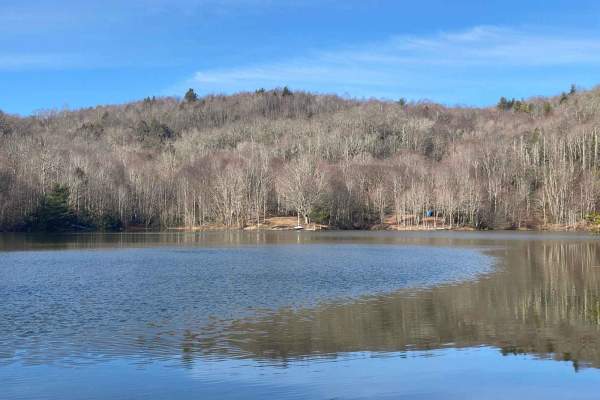
Trail Overview
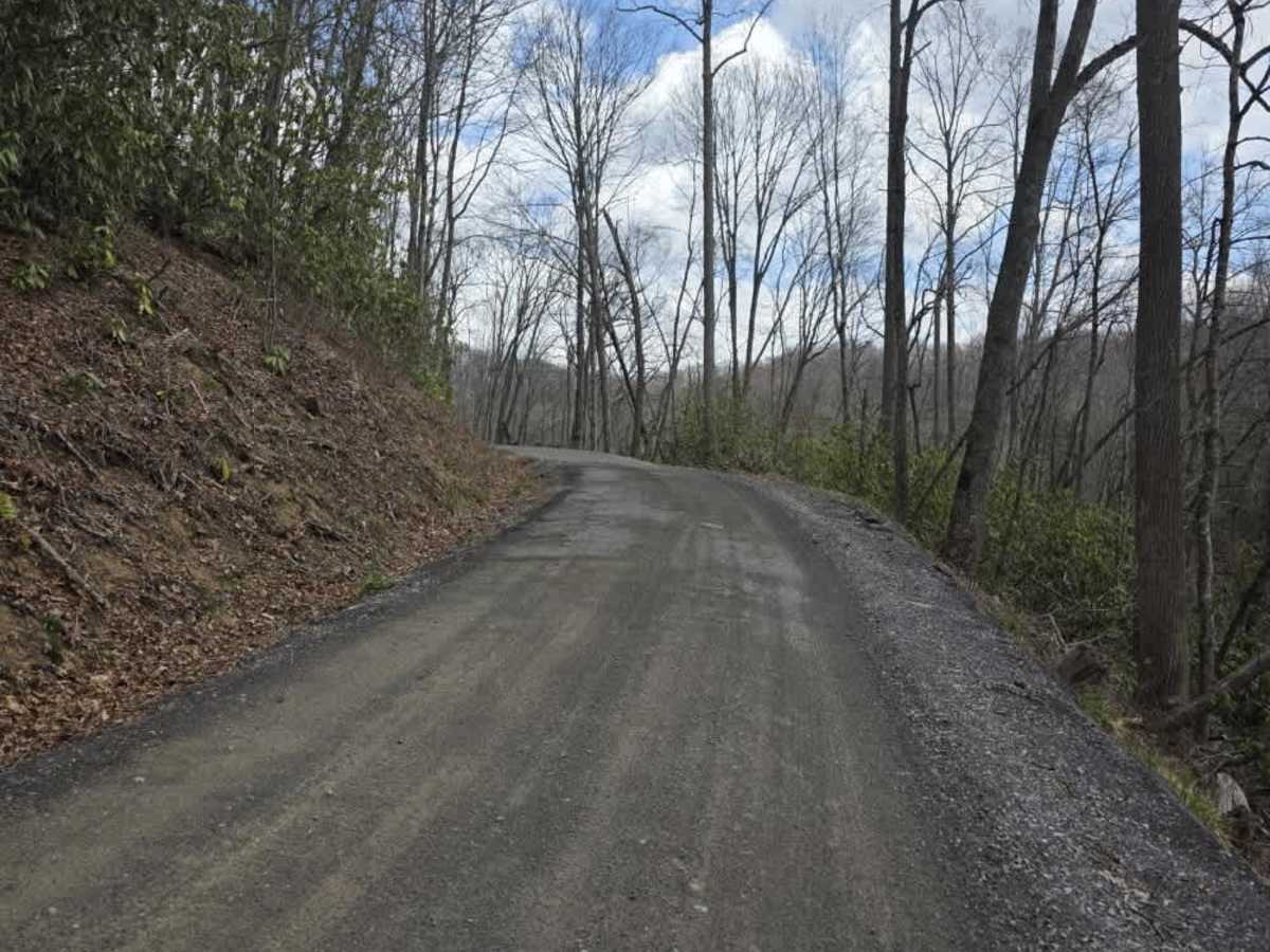
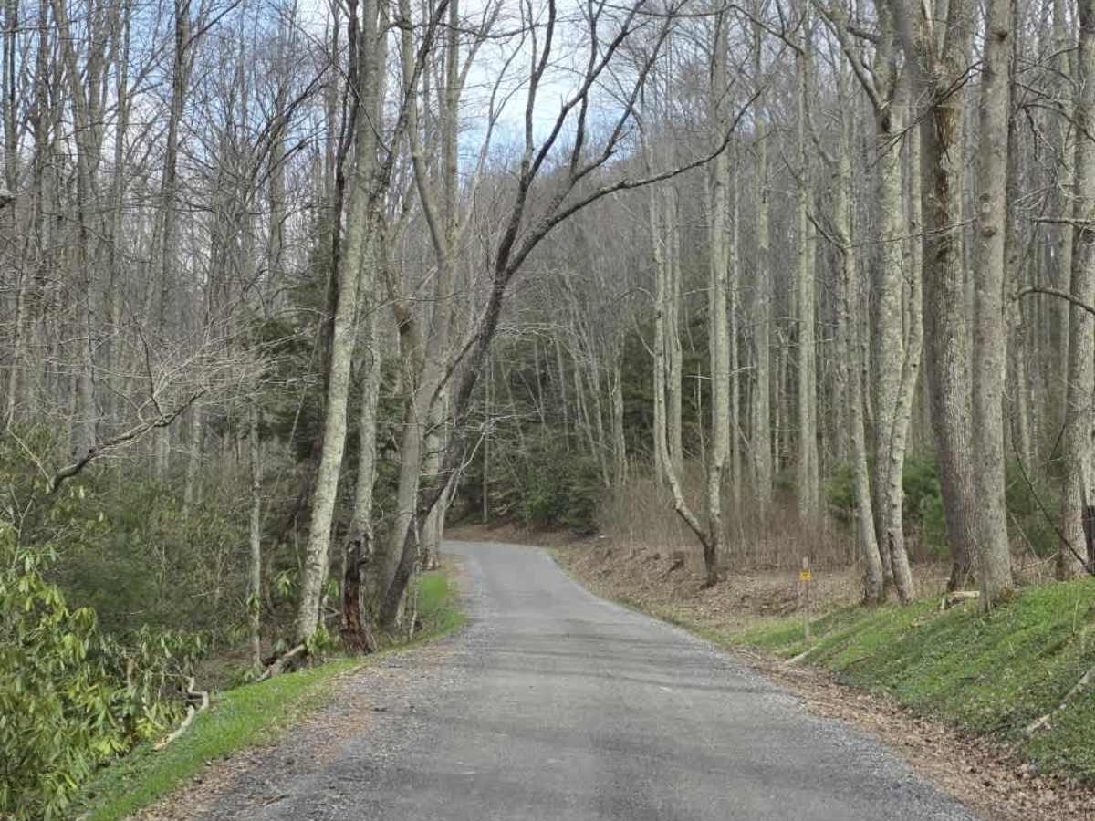
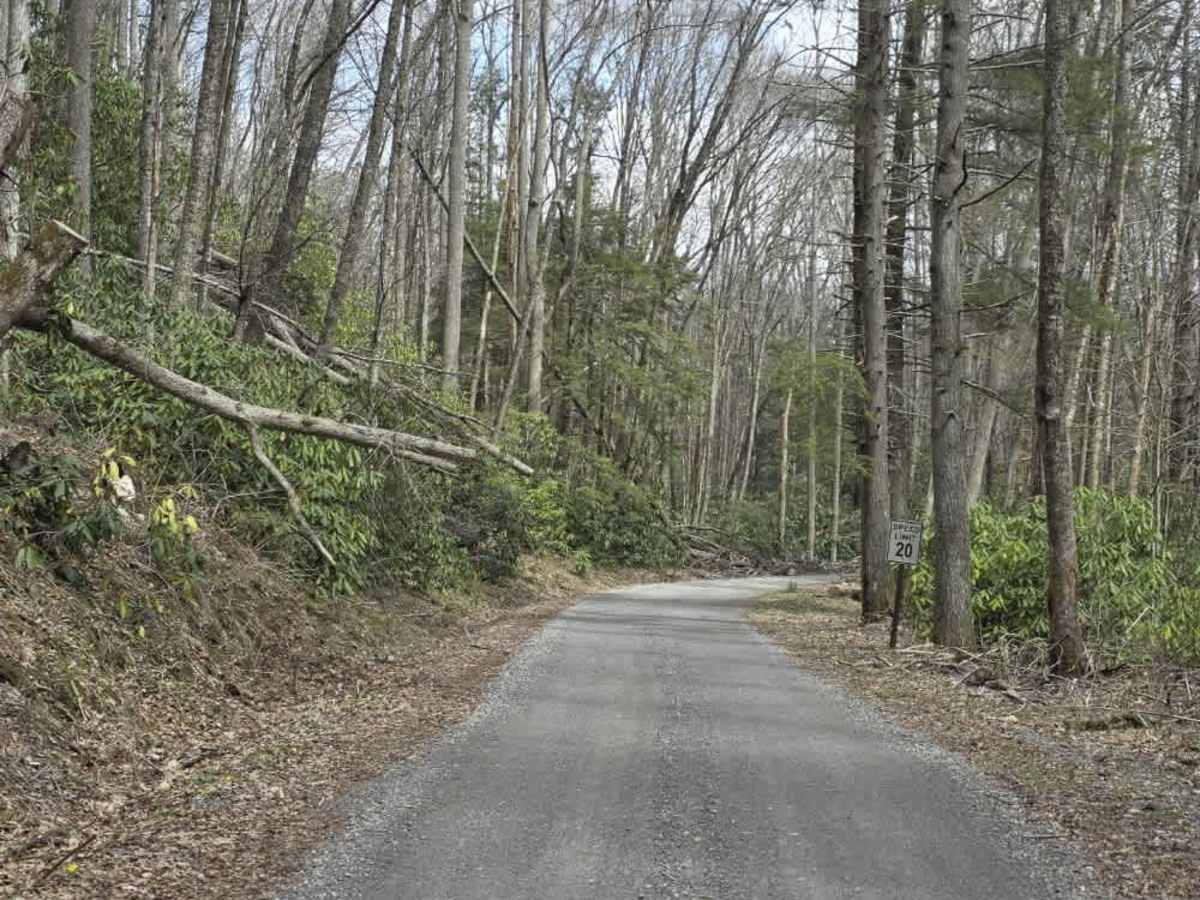
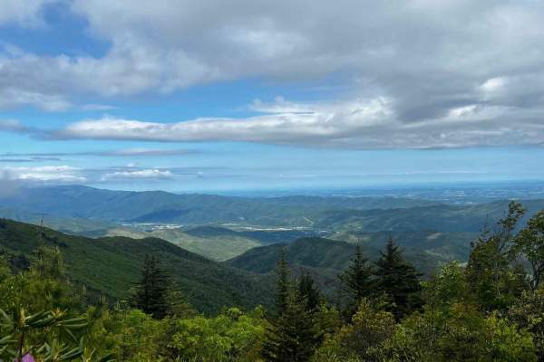
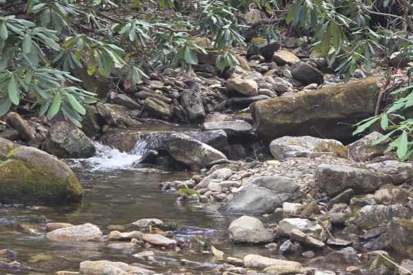
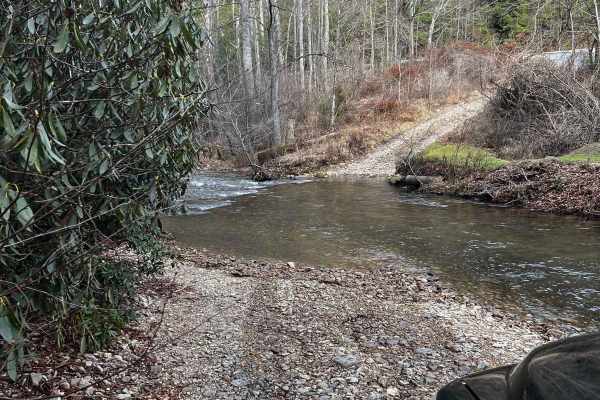
Red Fork Road is an easy, graded gravel route that provides a smooth and accessible drive with year-round usability. The road surface is well-maintained and follows gentle grades, making it suitable for a wide range of vehicles under normal conditions. The route is straightforward and does not introduce technical terrain, offering a relaxed driving experience. This trail serves as an access route to the well-known Beauty Spot area and can still be enjoyed even when the gates to Beauty Spot are closed. Along the way, the road passes near private homes, so drivers should maintain low speeds and be respectful of residents. The consistent surface and predictable conditions make this a great option for a casual drive or as part of a larger route in the area. As always, remain on the designated roadway and respect posted signage.
Difficulty
Red Fork Road is rated a 1 due to its graded gravel surface, gentle grades, and absence of obstacles. The trail does not feature ruts, ledges, water crossings, or technical terrain that would increase difficulty. The sustained experience aligns with an easy dirt or rocky road suitable for most 4WD and high-clearance 2WD vehicles, and is easily manageable by 2WD vehicles under normal conditions.