
Dirt Bike Trails
Near Twin Groves, Arkansas
Explore All Dirt Bike Trails Near Twin Groves, Arkansas
Dirt Bike Trails Near Twin Groves, Arkansas
Discover the best dirt bike trails near you. Browse trail maps, check difficulty ratings, and find your next adventure — whether you're looking for a quick ride or an all-day expedition.
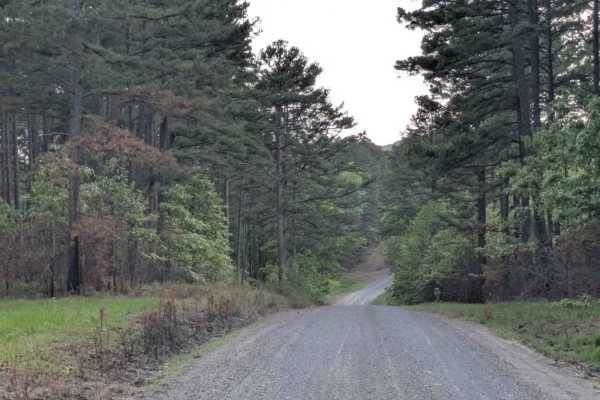
Scott Henderson Gulf Mountain WMA Access Road
The WMA Access Trail begins in the town of Scotland and leads into the Wildlife Management Area along a wide, winding gravel road that is maintained and relatively smooth. Several designated campsites can be found along the route, and an overnight stay at one revealed a peaceful atmosphere. However,...
Learn more about Scott Henderson Gulf Mountain WMA Access Road
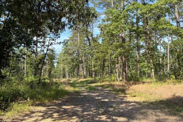
Squeeze
This trail starts fairly easy and is open wide, with a lot of open camping spots that could house several vehicles. The trail only gets more difficult after the last camping area on the driver's side, and you will see the trail become extremely narrow. So narrow that the name for this trail is very ...
Learn more about Squeeze
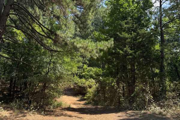
Hole In One
This trail is a fun and filled trail full of a wide variety of obstacles. Starting this trail from the South side over by the reservoir is recommended for the best experience. Starting from the South end and heading North, you will find multiple camping spots at the beginning of the trail that could...
Learn more about Hole In One

Driver Creek Boat Ramp
This is the access road that has a boat ramp for Driver Reservoir. This trail itself has loose rock, and some of the rock could be too big for lower-clearance vehicles. There are a lot of camping spots along this road, and this trail is also a connecting trail for multiple trails in the area.
Learn more about Driver Creek Boat Ramp
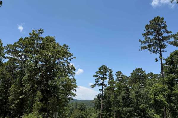
West Fork Camp Road
This is an offshoot road from West Fork Scenic Drive Road. This trail leads to other trails as well as to the reservoir that helps prevent flooding in this area. This is an extremely cool spot with a lot of open camp areas that could house several vehicles. There is also access to a beautiful view o...
Learn more about West Fork Camp Road

Sidewinder
Sidewinder is an in-and-out trail due to private property boundaries. There are a few good camping spots along this trail that could house a few vehicles. This trail has a few small mud holes that could get worse over time. There are also a few rutted-out sections as well as overgrown vegetation on ...
Learn more about Sidewinder
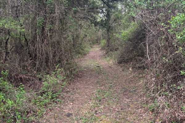
Point Remove Creek Spillway
Point Remove Creek Spillway is a short but moderately technical trail leading down to the base of the West Fork Point Remove Creek Site Five Dam. It starts narrow and quickly tightens with heavy brush—expect pinstriping. The trail features loose rock, small ledges, and uneven terrain that require c...
Learn more about Point Remove Creek Spillway
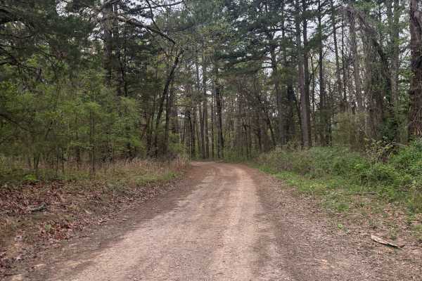
West Fork Point Remove Creek
West Fork Point Remove Creek is an easygoing, scenic trail that runs through a quiet pine forest in the southeastern Ozarks. This route is ideal for beginners or anyone looking for a relaxed ride with strong wildlife viewing potential. This trail connects Driver Creek Dam / Cedar Mountain to Lower ...
Learn more about West Fork Point Remove Creek
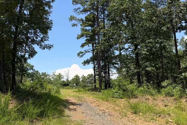
Field Day
This trail is also an in-and-out per the MVUM. There are some amazing camping spots along this trail, one being very soon from the start of the trail. There are mud holes and a small section with a rutted-out path towards the end of the trail after the camping spots. The trail does get narrow in som...
Learn more about Field Day
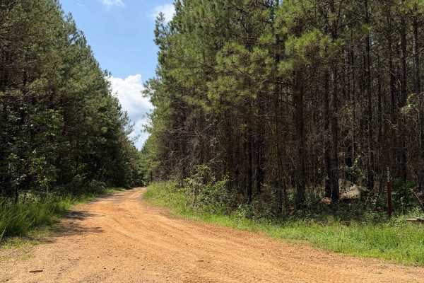
Flex City
This Trail is an in-and-out due to private property issues. This trail has a lot to offer, ranging from extremely off-camber sections that could put you in a bind to good sized mud-holes depending on recent rain. Running this trail from East to West, you will first do the off-camber section and then...
Learn more about Flex City

Driver Creek Dam/Cedar Mountain
Driver Creek Dam starts out as an easy gravel road that winds through the forest, with steep grades and large gravel. You start at Cedar Mountain where you will find some amazing views and a huge dispersed campsite with a fire ring. This would be a perfect spot for someone traveling out of town and...
Learn more about Driver Creek Dam/Cedar Mountain
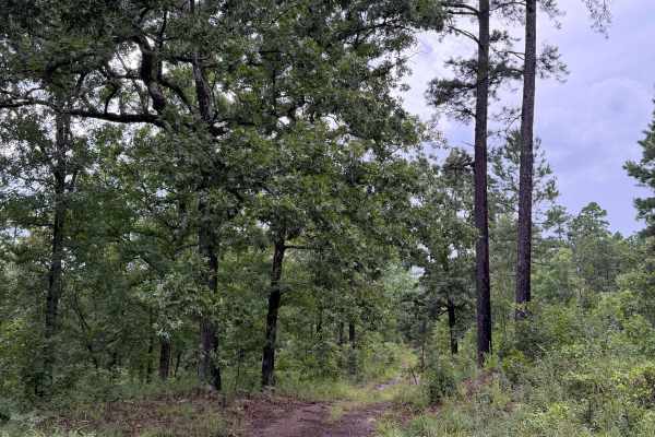
White Trasher
This trail starts off Rock Creek Road 1319/Mud Lane. This is a fun trail that includes mud holes, rutted-out areas, off-camber sections, and some whoops. This trail would be subject to flooding very easily, so you will want to be weather aware for this trail. This trail is also gated at certain poin...
Learn more about White Trasher
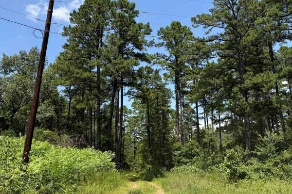
Mud Lane
This trail starts off Rock Creek Road 1319. This is a fun trail that has several mud holes ranging from 6" to 36" deep, and some could be deeper as they get worse over time. There are sections that have a rutted-out path that can also flood easily during heavy rain. This is an in-and-out trail and e...
Learn more about Mud Lane
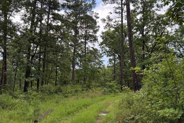
Surprise - FS 93022
This trail features many whoops and deep mudholes that can catch you off guard. There's also a section that could be considered a rock garden. This trail can be started from either end: Rock 1319 Road or White Trash Trail. This trail could flood very easily, and you need to be weather-aware if you a...
Learn more about Surprise - FS 93022
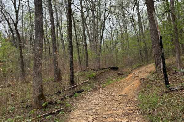
Brock Creek
The Brock Creek Trail is a remote and scenic route that winds through forested valleys, steep bluffs, and multiple creek crossings along Brock Creek. It begins as an easy drive but becomes more moderate after passing Lowder Cemetery, offering a rewarding mix of natural beauty and technical challenge...
Learn more about Brock Creek
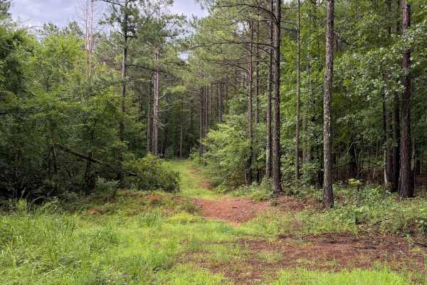
Clever Girl
This trail starts off Rock Creek Road 1319. Starts with a very steep whoop to get into the trail. This is still a fully legal trail that shows up on the MVUM. Heading north, you will see some hidden mudholes. They are covered by tall grass and will sneak up on you. This trail is an in-and-out, as mo...
Learn more about Clever Girl
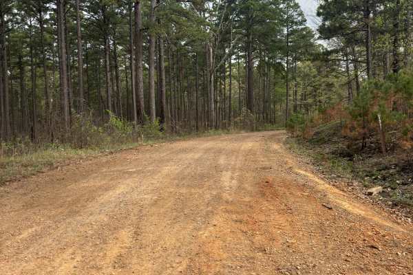
Tackett Mountain 1337
Tackett Mountain Road is an easy, scenic gravel route that loops around Tackett Mountain and serves as a great connector between Rock Creek 1319 and Rock Creek Road. This is a relaxing drive with seasonal beauty, especially in the spring. The road is primarily well-maintained gravel, making for a sm...
Learn more about Tackett Mountain 1337
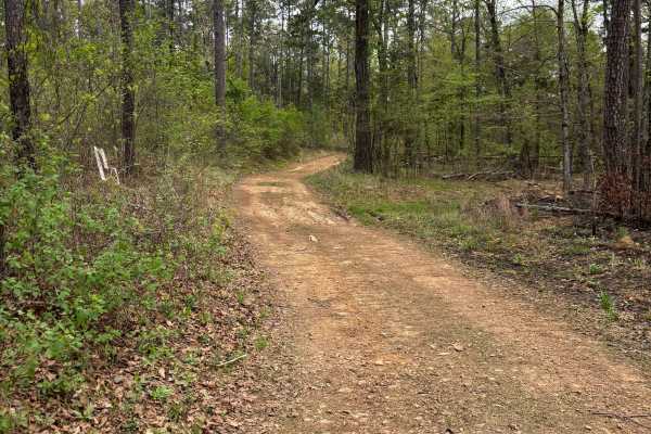
FS 93020C
Trail 93020C is a fun and moderately challenging connector linking Brock Creek to Tackett Mountain, popular with off-roaders for its combination of berms, tight turns, and short mud holes that make for an engaging ride and pair well with other trails in the area. The trail features lots of berms for...
Learn more about FS 93020C
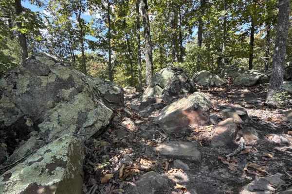
Moana Way
This is one of the longer singletrack trails in the park and, as such, includes a variety of terrain and obstacles but avoids the difficult hill on the north side of the park. This maintains good flow with mild hills and sights of rock boulders, seasonal water crossings, and log obstacles.
Learn more about Moana Way
Mana Ridge
This shelf road climbs up from the valley of Ohana trail to the southern border of the park. Expect a winding trail with mild hills, some off-camber sections and loose rocks, and rock gardens. On the east end of the trail, there is a closed trail that is signed to keep OHV users from accessing a par...
Learn more about Mana Ridge
ATV trails near Twin Groves, Arkansas
Explore ATV-friendly trails near you. These trails are accessible for vehicles up to 50 inches wide, perfect for ATVs and smaller off-road machines.
Scott Henderson Gulf Mountain WMA Access Road
The WMA Access Trail begins in the town of Scotland and leads into the Wildlife Management Area along a wide, winding gravel road that is maintained and relatively smooth. Several designated campsites can be found along the route, and an overnight stay at one revealed a peaceful atmosphere. However,...
Learn more about Scott Henderson Gulf Mountain WMA Access Road
Squeeze
This trail starts fairly easy and is open wide, with a lot of open camping spots that could house several vehicles. The trail only gets more difficult after the last camping area on the driver's side, and you will see the trail become extremely narrow. So narrow that the name for this trail is very ...
Learn more about Squeeze
Hole In One
This trail is a fun and filled trail full of a wide variety of obstacles. Starting this trail from the South side over by the reservoir is recommended for the best experience. Starting from the South end and heading North, you will find multiple camping spots at the beginning of the trail that could...
Learn more about Hole In One
Driver Creek Boat Ramp
This is the access road that has a boat ramp for Driver Reservoir. This trail itself has loose rock, and some of the rock could be too big for lower-clearance vehicles. There are a lot of camping spots along this road, and this trail is also a connecting trail for multiple trails in the area.
Learn more about Driver Creek Boat Ramp
UTV/side-by-side trails near Twin Groves, Arkansas
Find UTV and side-by-side trails near you. These trails accommodate vehicles up to 60 inches wide, ideal for UTVs, side-by-sides, and wider off-road rigs.
Scott Henderson Gulf Mountain WMA Access Road
The WMA Access Trail begins in the town of Scotland and leads into the Wildlife Management Area along a wide, winding gravel road that is maintained and relatively smooth. Several designated campsites can be found along the route, and an overnight stay at one revealed a peaceful atmosphere. However,...
Learn more about Scott Henderson Gulf Mountain WMA Access Road
Squeeze
This trail starts fairly easy and is open wide, with a lot of open camping spots that could house several vehicles. The trail only gets more difficult after the last camping area on the driver's side, and you will see the trail become extremely narrow. So narrow that the name for this trail is very ...
Learn more about Squeeze
Hole In One
This trail is a fun and filled trail full of a wide variety of obstacles. Starting this trail from the South side over by the reservoir is recommended for the best experience. Starting from the South end and heading North, you will find multiple camping spots at the beginning of the trail that could...
Learn more about Hole In One
Driver Creek Boat Ramp
This is the access road that has a boat ramp for Driver Reservoir. This trail itself has loose rock, and some of the rock could be too big for lower-clearance vehicles. There are a lot of camping spots along this road, and this trail is also a connecting trail for multiple trails in the area.
Learn more about Driver Creek Boat Ramp
The onX Offroad Difference
onX Offroad combines trail photos, descriptions, difficulty ratings, width restrictions, seasonality, and more in a user-friendly interface. Available on all devices, with offline access and full compatibility with CarPlay and Android Auto. Discover what you're missing today!
Open Trail Map