Trail Overview
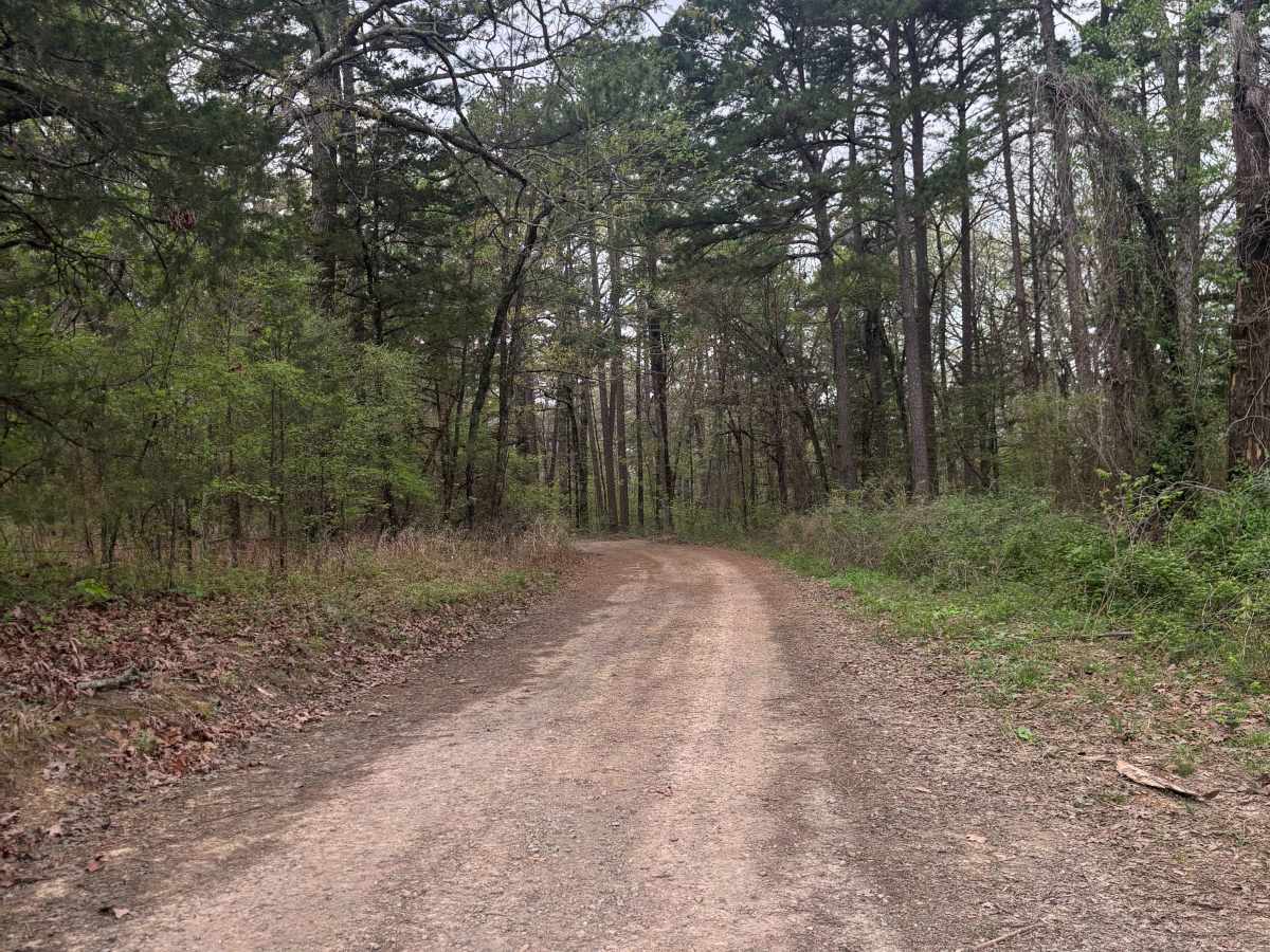
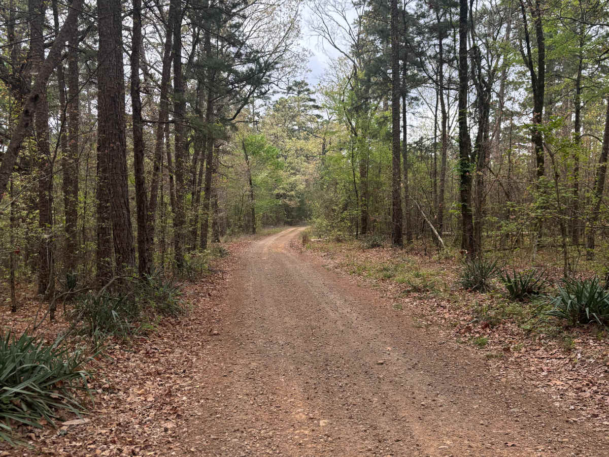
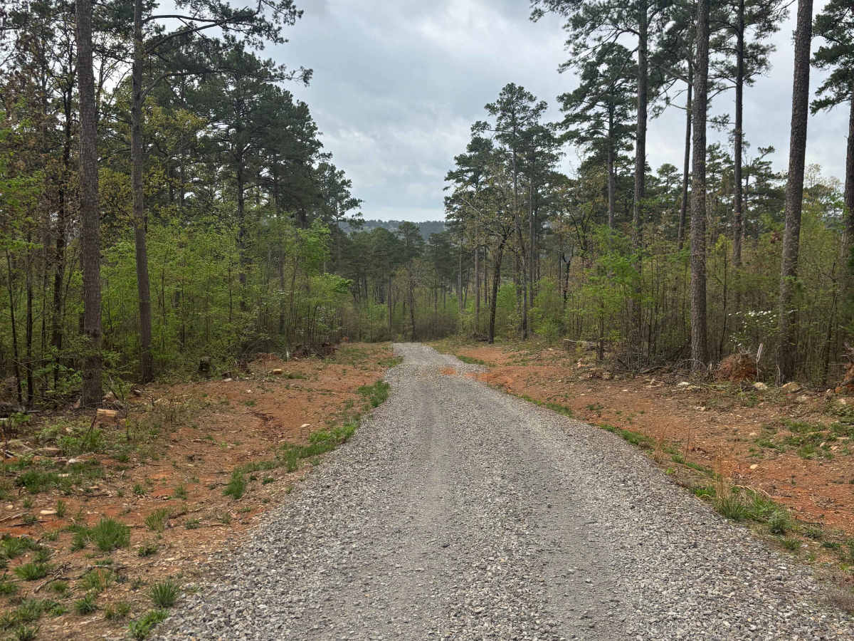
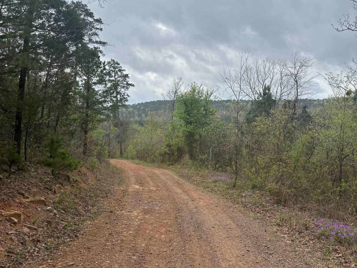
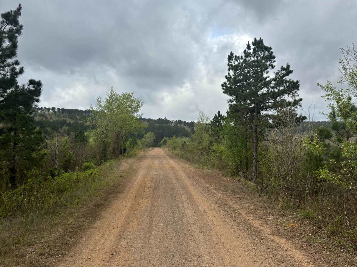
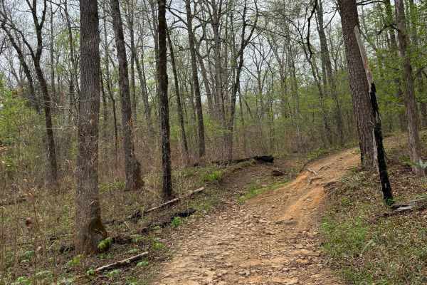
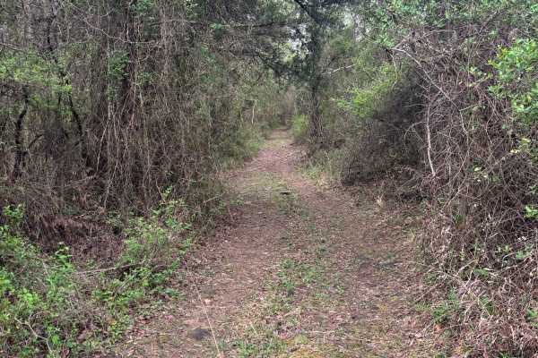
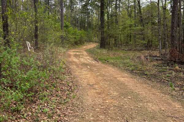
West Fork Point Remove Creek is an easygoing, scenic trail that runs through a quiet pine forest in the southeastern Ozarks. This route is ideal for beginners or anyone looking for a relaxed ride with strong wildlife viewing potential. This trail connects Driver Creek Dam / Cedar Mountain to Lower Brock Dam Road, making it a useful and enjoyable link between key access points. The route follows along West Fork Point Remove Creek Site Five Dam, adding a nice water feature along portions of the drive. Recent logging activity and prescribed (RX) burns within the last year have created a mix of open areas and standing timber, giving the trail a unique look compared to typical dense Ozark forest routes. Trail conditions are primarily dirt and natural surface, generally smooth with minor uneven spots and occasional loose debris from logging and burn areas, with no major obstacles. This trail offers excellent wildlife viewing, including frequent wild turkey sightings, with improved visibility due to recent burns. Travel at a slower pace, especially during early morning or evening, and remain alert for changing conditions and wildlife on the trail.
Difficulty
This trail is rated easy due to its overall smooth terrain, minimal elevation change, and lack of technical obstacles. Most of the route consists of a maintained forest road with a natural dirt surface, making it accessible for stock 4x4 vehicles and even capable AWD rigs. Drivers can expect no rock crawling or technical sections, no water crossings requiring skill or depth assessment, gradual grades without steep climbs or descents, and a wide trail in most areas with good visibility. Recent logging and prescribed burns may leave loose debris, small ruts, or uneven patches, but these conditions do not significantly increase difficulty and only require basic awareness. This trail is well-suited for beginners learning off-road driving, relaxed scenic rides, and wildlife viewing at slower speeds, and can be comfortably handled by anyone familiar with driving on gravel or dirt country roads.