Mud Lane

Total Miles1.1
Technical Rating
3Easy
Best TimeSpring, Summer, Fall, Winter
Trail TypeFull-Width Road
Accessible By
Open Trail Map

Trail Overview

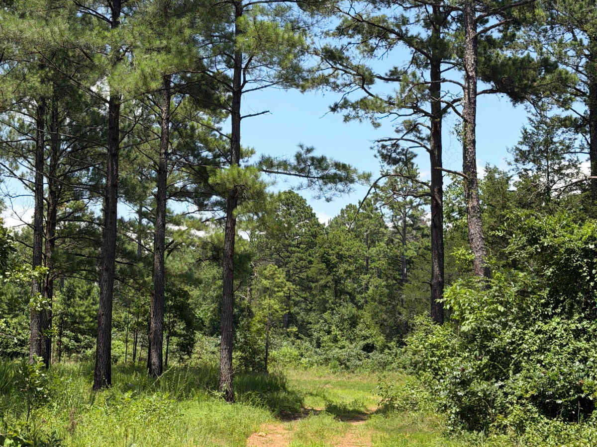
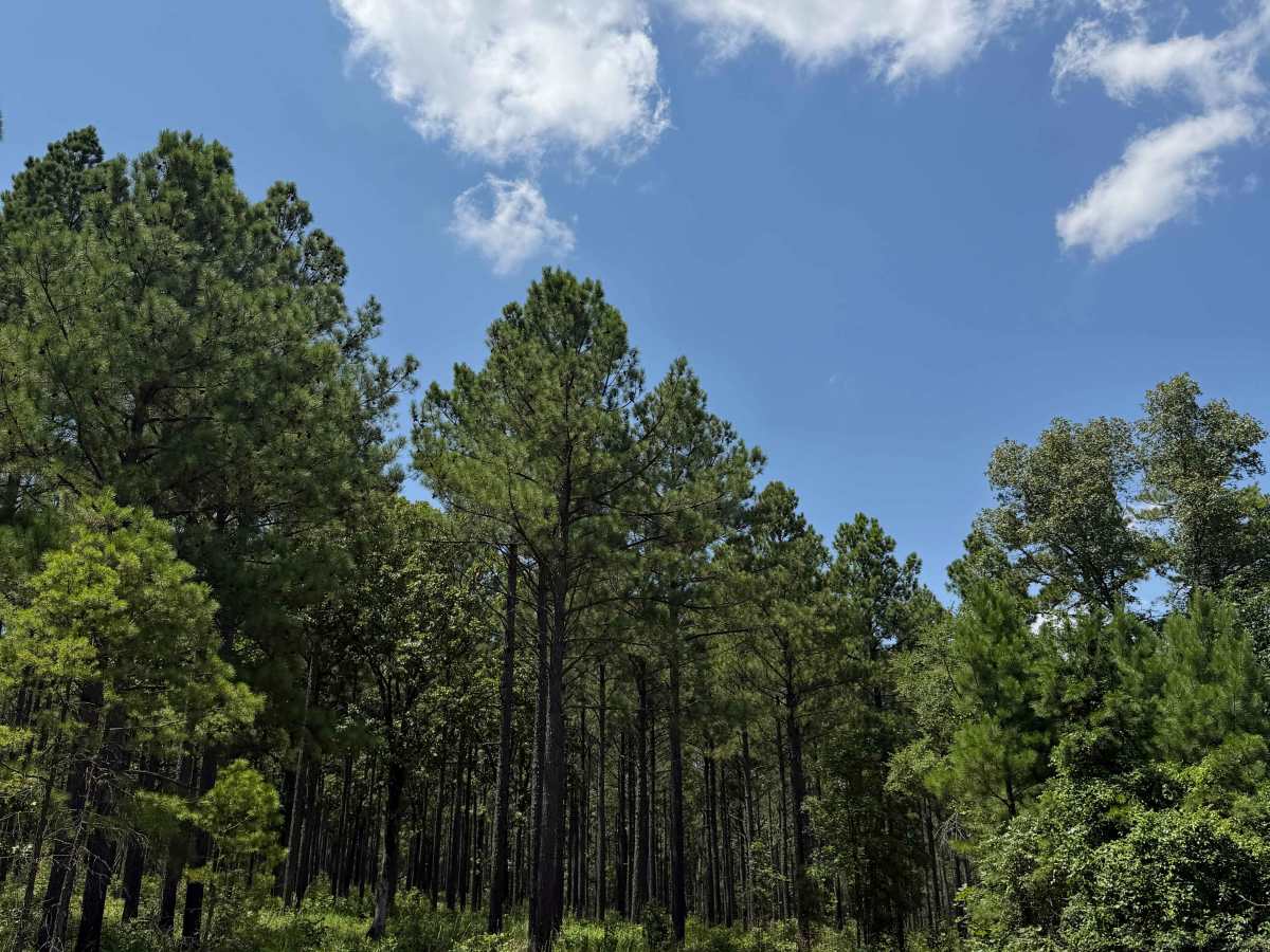
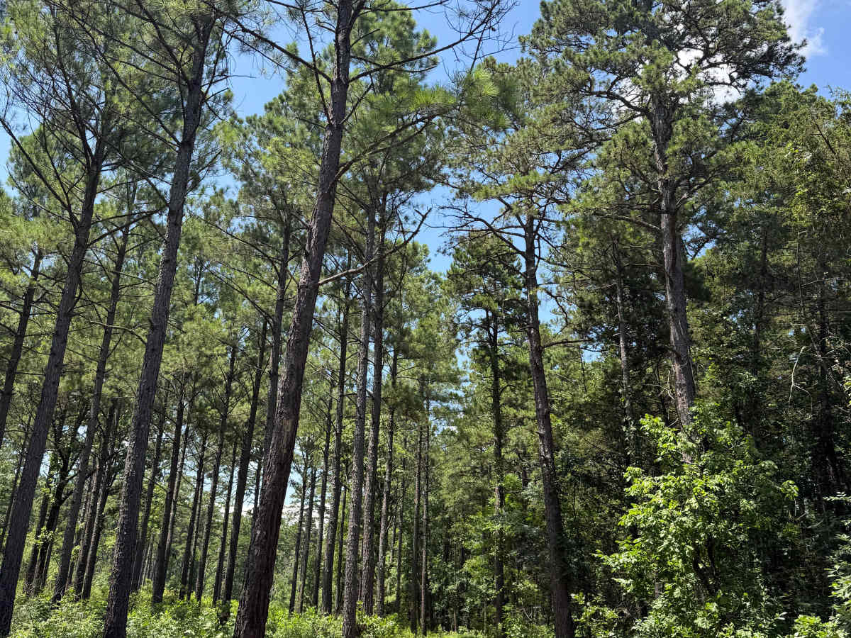
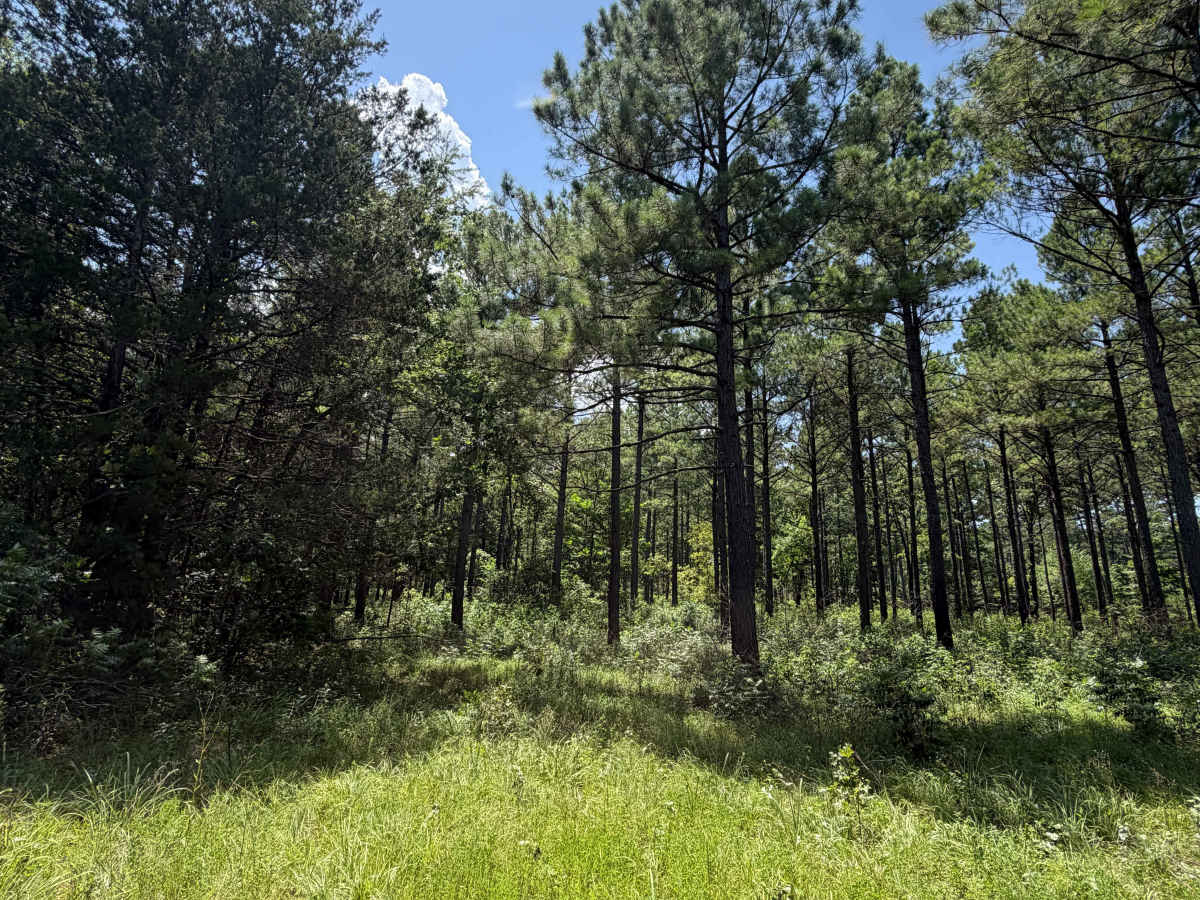
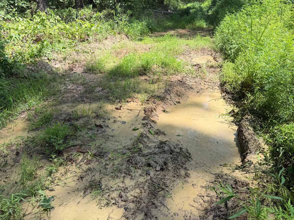
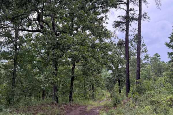
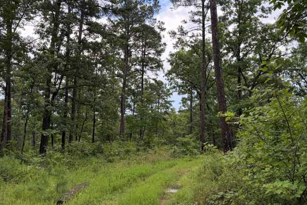
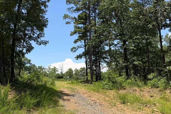
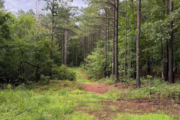
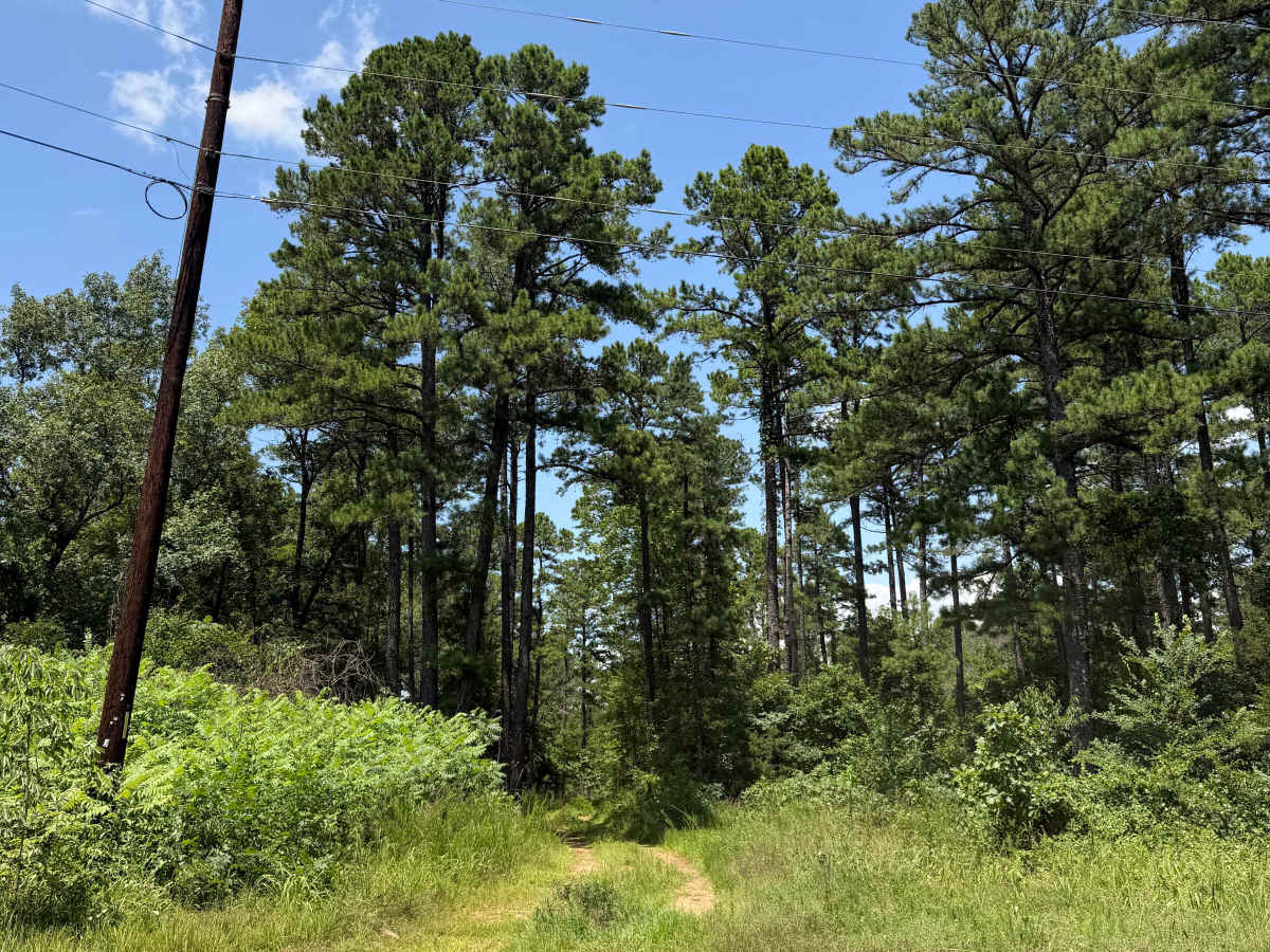
This trail starts off Rock Creek Road 1319. This is a fun trail that has several mud holes ranging from 6" to 36" deep, and some could be deeper as they get worse over time. There are sections that have a rutted-out path that can also flood easily during heavy rain. This is an in-and-out trail and ends because of the national forest boundary, but legally does continue.

Photos of Mud Lane

Difficulty

Deep mudholes that could swallow 33" tires. This trail is prone to flooding, so be weather-aware.

Technical Rating

3

Mud Lane Trail can be accessed by the following ride types:

  • Single Track
  • 50 Inch
  • 60 Inch
  • High Clearance
  • Full Width

Mud Lane Map

The onX Offroad Difference

onX Offroad combines trail photos, descriptions, difficulty ratings, width restrictions, seasonality, and more in a user-friendly interface. Available on all devices, with offline access and full compatibility with CarPlay and Android Auto. Discover what you're missing today!

Open Trail Map