
Dirt Bike Trails
Near Tuskegee, Alabama
Explore All Dirt Bike Trails Near Tuskegee, Alabama
Dirt Bike Trails Near Tuskegee, Alabama
Discover the best dirt bike trails near you. Browse trail maps, check difficulty ratings, and find your next adventure — whether you're looking for a quick ride or an all-day expedition.
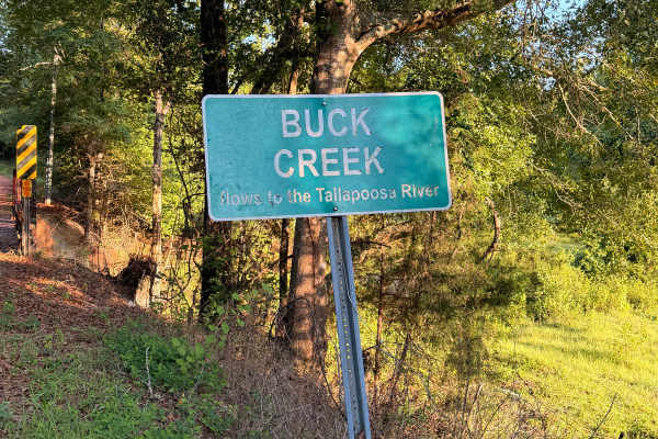
Buck Creek Road
Buck Creek Road is a short, easy backroad near Reeltown that travels through a quiet wooded area on a mix of red clay, dirt, and gravel. The route features rolling hills, minor erosion and ruts, and a single-lane wooden bridge crossing Buck Creek. Dispersed camping is available along the route, maki...
Learn more about Buck Creek Road
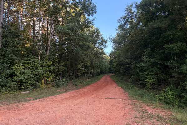
Turkey Trail
Turkey Trail is a dirt and red-clay backroad winding through the wooded countryside near Reeltown, Alabama. The route features rolling terrain, occasional ruts, small muddy sections, and a mix of hard-packed clay and gravel. Conditions are generally suitable for most vehicles when dry, although the ...
Learn more about Turkey Trail
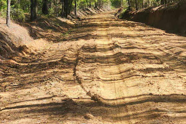
Tatum Road Trail
This 6.3‑mile through‑trail winds through timberland, hunting areas, and to hunting camps bordering the Hannahatchee Creek WMA. Packed red clay and sandy silt create ever‑changing terrain, easily rutted after rain. Scenic vistas near the Georgia foothills offer stunning views, while use, seasonal, a...
Learn more about Tatum Road Trail
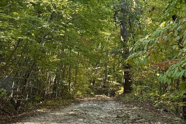
FS600-2
Beginning at the northeast end of FS600-2 and traveling southwest, this service road is packed with dirt filled with irregular rocks, making for a rough ride if not airing down. The first couple of miles are similar before reaching the first of the washouts. Washouts are 1 to 3 feet deep and are avo...
Learn more about FS600-2
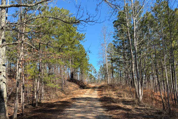
FS 637 K/M
This trail starts as a gravel road and quickly transitions to dirt, winding through pine trees and crossing several mud holes. There are a couple of rutted sections that can become slick when wet. The route ends at an old cemetery with graves dating back to the late 1800s and early 1900s.
Learn more about FS 637 K/M

Duck Nest Motorway - FS 651
Good mix of gravel and dirt. There are several beautiful creeks to pass over with one-lane bridges along the route. A few mud holes are possible if it is wet. Some washboarding on the road towards the north side of the road. The dispersed camping labeled on OnX is not a great campsite, but it could ...
Learn more about Duck Nest Motorway - FS 651
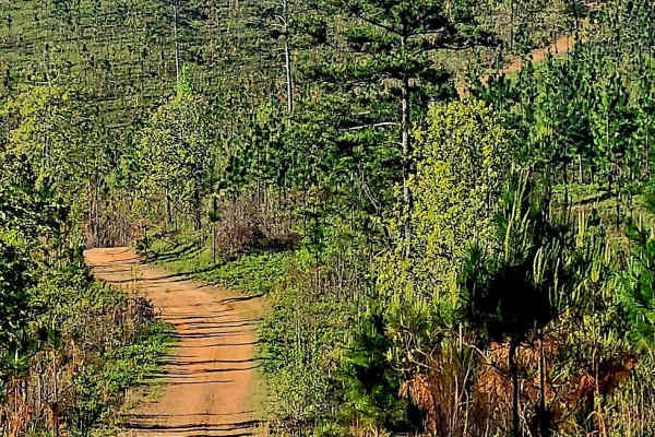
Alexander Ridge Trail
This mostly gravel with packed dirt single trail winds 4.4 miles in-and-back through Sprewell Bluff WMA across rolling ridges and foothills near the Flint River. Expect steep climbs, sharp descents, ruts, wash-outs, and loose rocky terrain. Scenic vistas reward the effort, with the landscape changin...
Learn more about Alexander Ridge Trail
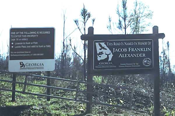
Alexander Hollow Trail
Alexander Hollow Trail in the Jacob Franklin Alexander tract of Sprewell Bluff Wildlife Management Area follows a canopy below the ridgeline in the scenic foothills. This 2.5-mile out-and-back gravel and dirt route has little rutting and washouts along the route, with some ridge grass growth along t...
Learn more about Alexander Hollow Trail
ATV trails near Tuskegee, Alabama
Explore ATV-friendly trails near you. These trails are accessible for vehicles up to 50 inches wide, perfect for ATVs and smaller off-road machines.
Buck Creek Road
Buck Creek Road is a short, easy backroad near Reeltown that travels through a quiet wooded area on a mix of red clay, dirt, and gravel. The route features rolling hills, minor erosion and ruts, and a single-lane wooden bridge crossing Buck Creek. Dispersed camping is available along the route, maki...
Learn more about Buck Creek Road
Turkey Trail
Turkey Trail is a dirt and red-clay backroad winding through the wooded countryside near Reeltown, Alabama. The route features rolling terrain, occasional ruts, small muddy sections, and a mix of hard-packed clay and gravel. Conditions are generally suitable for most vehicles when dry, although the ...
Learn more about Turkey Trail
Tatum Road Trail
This 6.3‑mile through‑trail winds through timberland, hunting areas, and to hunting camps bordering the Hannahatchee Creek WMA. Packed red clay and sandy silt create ever‑changing terrain, easily rutted after rain. Scenic vistas near the Georgia foothills offer stunning views, while use, seasonal, a...
Learn more about Tatum Road Trail
FS600-2
Beginning at the northeast end of FS600-2 and traveling southwest, this service road is packed with dirt filled with irregular rocks, making for a rough ride if not airing down. The first couple of miles are similar before reaching the first of the washouts. Washouts are 1 to 3 feet deep and are avo...
Learn more about FS600-2
UTV/side-by-side trails near Tuskegee, Alabama
Find UTV and side-by-side trails near you. These trails accommodate vehicles up to 60 inches wide, ideal for UTVs, side-by-sides, and wider off-road rigs.
Buck Creek Road
Buck Creek Road is a short, easy backroad near Reeltown that travels through a quiet wooded area on a mix of red clay, dirt, and gravel. The route features rolling hills, minor erosion and ruts, and a single-lane wooden bridge crossing Buck Creek. Dispersed camping is available along the route, maki...
Learn more about Buck Creek Road
Turkey Trail
Turkey Trail is a dirt and red-clay backroad winding through the wooded countryside near Reeltown, Alabama. The route features rolling terrain, occasional ruts, small muddy sections, and a mix of hard-packed clay and gravel. Conditions are generally suitable for most vehicles when dry, although the ...
Learn more about Turkey Trail
Tatum Road Trail
This 6.3‑mile through‑trail winds through timberland, hunting areas, and to hunting camps bordering the Hannahatchee Creek WMA. Packed red clay and sandy silt create ever‑changing terrain, easily rutted after rain. Scenic vistas near the Georgia foothills offer stunning views, while use, seasonal, a...
Learn more about Tatum Road Trail
FS600-2
Beginning at the northeast end of FS600-2 and traveling southwest, this service road is packed with dirt filled with irregular rocks, making for a rough ride if not airing down. The first couple of miles are similar before reaching the first of the washouts. Washouts are 1 to 3 feet deep and are avo...
Learn more about FS600-2
The onX Offroad Difference
onX Offroad combines trail photos, descriptions, difficulty ratings, width restrictions, seasonality, and more in a user-friendly interface. Available on all devices, with offline access and full compatibility with CarPlay and Android Auto. Discover what you're missing today!
Open Trail Map