
Dirt Bike Trails
Near Surprise Creek Colony, Montana
Explore All Dirt Bike Trails Near Surprise Creek Colony, Montana
Dirt Bike Trails Near Surprise Creek Colony, Montana
Discover the best dirt bike trails near you. Browse trail maps, check difficulty ratings, and find your next adventure — whether you're looking for a quick ride or an all-day expedition.
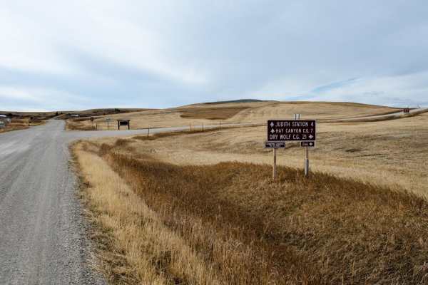
Middle Fork Judith River
Through the heart of Montana is the Middle Fork of Judith River Trail, Trail J825. The Middle Fork Trail is one of the most iconic trails in Montana. Jeep clubs, OHVs and hikers come from all over the state to experience the beauty and geology of the area the trail provides. Travel south from Utic...
Learn more about Middle Fork Judith River
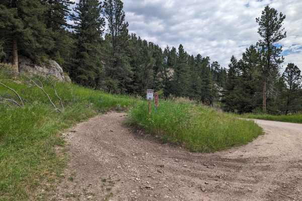
Ettien Ridge Connector
The Ettien Ridge Connector J821A runs between the main dirt road and Ettien Ridge Trail. Traveling from the dirt road to Ettien Ridge Trail, this connector trail has a few short steep uphill sections. There's one handy use of this trail: if the water crossing at the Judith Guard Station rental cabin...
Learn more about Ettien Ridge Connector
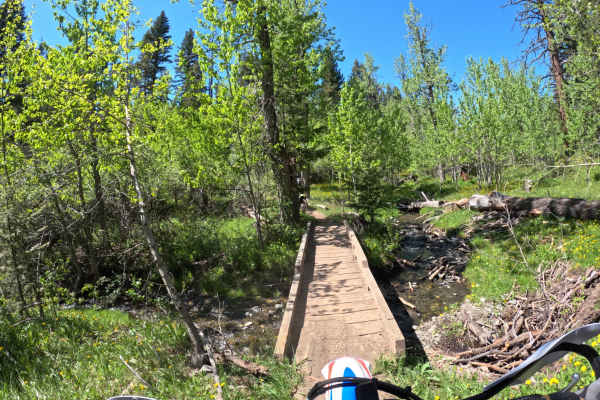
Center Ridge/North Fork Highwood Creek
This is an out-and-back ride, but you can connect several trails together to make loops. Rated a 5 on a 10 scale. A few creek crossings that are pretty easy to navigate. Mostly dirt single track with a few rocky sections. Some sections are narrow single track. Fun little ride close to Great Falls.
Learn more about Center Ridge/North Fork Highwood Creek
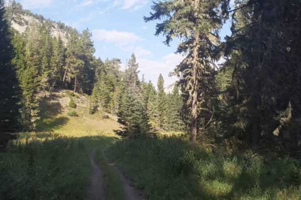
Hay Canyon Trail
Open July 1 - Oct 14. Hay Canyon Trail is in the Little Belt Mountains, located in the Lewis and Clark National Forest, Southeast of Great Falls and Northwest of Harlowton, Montana. From Hay Canyon Campground, the Eastern end of the trail goes through a canyon that has some heavily forested areas. A...
Learn more about Hay Canyon Trail
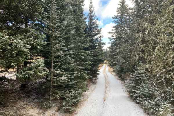
Stanford View Spur - J746
This is a narrow spur road that winds through a narrow forest path and an open ridge with a few meadows in between. The trail ends on a peak that has a great view of the plains around Stanford. The trail offers a unique view of Square Butte. There are nice areas to camp on the route. Some sharp and...
Learn more about Stanford View Spur - J746
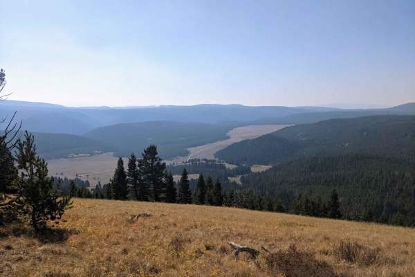
High Spring Creek
These are nice views along the middle section overlooking the valley below and Russian Flat. The ride is easy going on the western half of the trail with a few more difficult sections on the eastern half but nothing too technical. This is a nice trail for a leisurely ride to get out and enjoy the vi...
Learn more about High Spring Creek
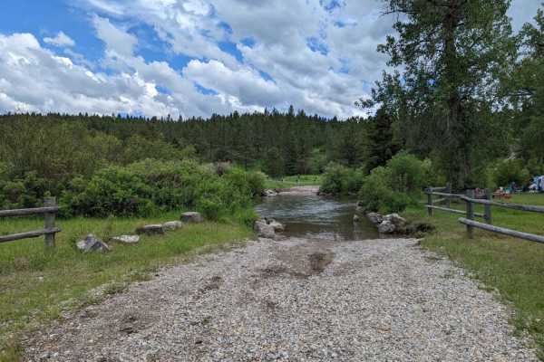
Ettien Ridge
Open May 16 - Nov 30. The 2020 Helena-Lewis and Clark National Forest MVUM indicates the East portion of the trail is open May 16 - Nov 30, and the West portion of the trail is open year-round. I did not notice signage at any point indicating where the open dates change. The East end of the trail st...
Learn more about Ettien Ridge
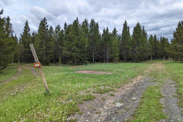
Lower Russian Youth Loop
The Lower Russian Youth Loop is an approachable, beginner-friendly route in the Little Belt Mountains that offers a relaxed, scenic ride through the Helena-Lewis and Clark National Forest. Spanning approximately 2.7 miles with a gentle 215 feet of elevation change, this loop is perfect for novice ri...
Learn more about Lower Russian Youth Loop
Bartleson Peak- J8823
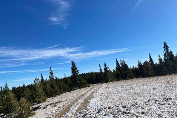
This trail has sharp rocks, a narrow ridge, and a couple of uneven and steep hills with rock obstacles. Have good tires and a spare. This trail has beautiful views and a fun road to explore. There are many view vantage points, and fun little rock climbs along the route. You can connect to other jeep...
Learn more about Bartleson Peak- J8823
Willow Park
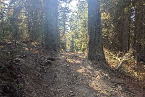
Willow Park is a 50-inch trail that connects the Russell Point area to the Haymaker Park area via trails 464, 189, 619, and 606. You may also see the names Willow Park, Burley Creek, Daisy Canyon, Upper Daisy, Nevada Creek, and Daisy Dean Creek on the map along this route. If you're camped out anywh...
Learn more about Willow Park
Haymaker Narrows
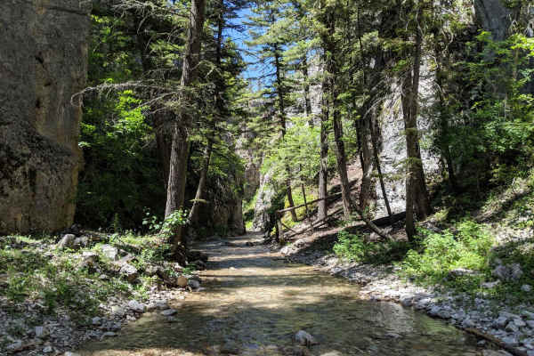
Haymaker Narrows trail is a 50 inch trail. The area referred to as "the narrows" is in the south section with multiple water crossings, high rock walls on both sides and portions of the trail are a rocky creek bottom that would be difficult on a motorcycle in spring and early summer when the water i...
Learn more about Haymaker Narrows
Smith River Trail
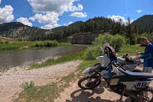
Starting at the Deep Creek trailhead in the Little Belt Mountains, take the North Fork Deep Creek trail. About 1.5 miles in, you will run into a small section of double track for 2 to 3 miles. Then you will take the Old Baldy trail off of the double track. This trail is marked and should be easy to ...
Learn more about Smith River Trail
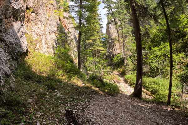
The Narrows
Starting at the Daisy Dean campground, take the Mud Creek jeep trail. After about 1.5 miles, the trail turns to single track. You will pass through some awesome meadows and ride along a creek for most of this loop. Mud Creek trail will merge with a few other trails, turn on Lucky Boy trail. This tra...
Learn more about The Narrows
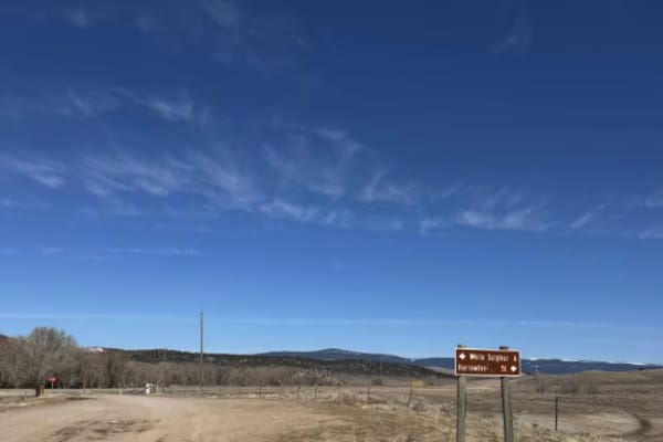
Jamison Creek
This trail comes off the highway and connects to a gully system through a high plains hunting area. The majority of the trail is relatively flat until the last section that goes into the gully. Once in the gully, many other trails can be accessed. I will update this trail system soon. The trail is r...
Learn more about Jamison Creek
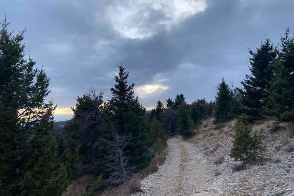
Mount High Peak
From Harlowton, head west for 1 mile on Highway 12 to Lode Road. Follow Lode Road to Jellison Road. Jellison Road ends at a fork. Take the right road, High Mountain Road. You will start winding through some trees. This portion is mild and mostly just a dirt road. Once you reach the obvious campgro...
Learn more about Mount High Peak
Magpie Upper
Magpie Upper is an approachable and scenic route perfect for novice offroaders, high-clearance four-wheel-drive vehicles, and SxSs looking to explore the beautiful Helena National Forest. Spanning approximately 1.0 mile, this easy trail serves as a seamless connection that navigates the upper sectio...
Learn more about Magpie Upper
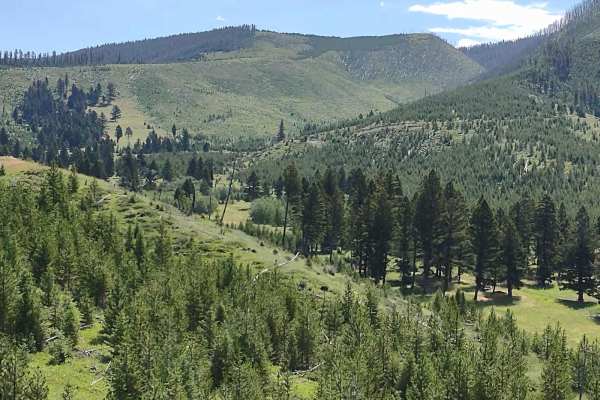
Sunshine Ridge
Sunshine Ridge is an easy, scenic trail perfect for beginners, families, and offroaders seeking stunning vistas of Canyon Ferry Lake and the surrounding valleys in the Helena National Forest. Stretching roughly 2.8 miles across the forest to a private property boundary, this route provides a relaxed...
Learn more about Sunshine Ridge
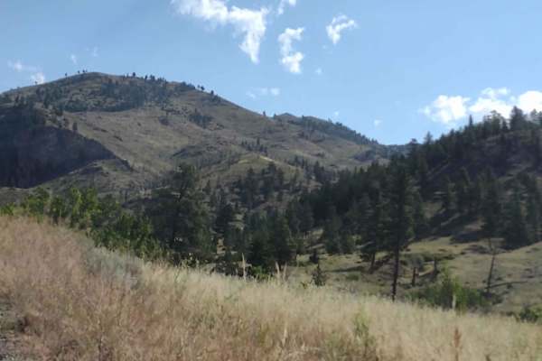
Magpie Gulch
Magpie Gulch is an ideal scenic route for beginner offroaders, scenic tourers, and families looking to explore the beautiful Helena National Forest with stunning views of Canyon Ferry Lake. This 7.5-mile point-to-point track connects the Magpie Ridge Trail to the Magpie Creek to Avalanche Creek Trai...
Learn more about Magpie Gulch
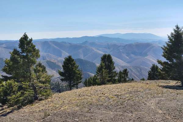
Hedges Mountain
This 3-mile RT track takes you to Hedges Mountain in the Helena National Forest at an elevation of 7131 feet. The scenery is spectacular, the forest is healthy and well-maintained, and the wildlife includes deer, elk, moose, and bears. All private property crossings are allowed if you stay on the tr...
Learn more about Hedges Mountain
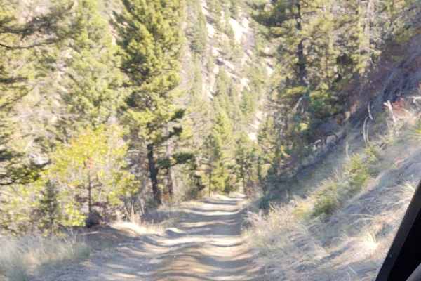
York Gulch
The York Gulch Trail connects York Road to Hedges Mountain, Oregon Gulch, Kingsberry Spur, and the Magpie Creek to Avalanche Creek Trails. You go from 3900 feet to just over 6200 feet in the Helena National Forest. The scenery is spectacular, the forest is healthy and well-maintained, and the wildli...
Learn more about York Gulch
ATV trails near Surprise Creek Colony, Montana
Explore ATV-friendly trails near you. These trails are accessible for vehicles up to 50 inches wide, perfect for ATVs and smaller off-road machines.
Middle Fork Judith River
Through the heart of Montana is the Middle Fork of Judith River Trail, Trail J825. The Middle Fork Trail is one of the most iconic trails in Montana. Jeep clubs, OHVs and hikers come from all over the state to experience the beauty and geology of the area the trail provides. Travel south from Utic...
Learn more about Middle Fork Judith River
Ettien Ridge Connector
The Ettien Ridge Connector J821A runs between the main dirt road and Ettien Ridge Trail. Traveling from the dirt road to Ettien Ridge Trail, this connector trail has a few short steep uphill sections. There's one handy use of this trail: if the water crossing at the Judith Guard Station rental cabin...
Learn more about Ettien Ridge Connector
Hay Canyon Trail
Open July 1 - Oct 14. Hay Canyon Trail is in the Little Belt Mountains, located in the Lewis and Clark National Forest, Southeast of Great Falls and Northwest of Harlowton, Montana. From Hay Canyon Campground, the Eastern end of the trail goes through a canyon that has some heavily forested areas. A...
Learn more about Hay Canyon Trail
Stanford View Spur - J746
This is a narrow spur road that winds through a narrow forest path and an open ridge with a few meadows in between. The trail ends on a peak that has a great view of the plains around Stanford. The trail offers a unique view of Square Butte. There are nice areas to camp on the route. Some sharp and...
Learn more about Stanford View Spur - J746
UTV/side-by-side trails near Surprise Creek Colony, Montana
Find UTV and side-by-side trails near you. These trails accommodate vehicles up to 60 inches wide, ideal for UTVs, side-by-sides, and wider off-road rigs.
Ettien Ridge Connector
The Ettien Ridge Connector J821A runs between the main dirt road and Ettien Ridge Trail. Traveling from the dirt road to Ettien Ridge Trail, this connector trail has a few short steep uphill sections. There's one handy use of this trail: if the water crossing at the Judith Guard Station rental cabin...
Learn more about Ettien Ridge Connector
Stanford View Spur - J746
This is a narrow spur road that winds through a narrow forest path and an open ridge with a few meadows in between. The trail ends on a peak that has a great view of the plains around Stanford. The trail offers a unique view of Square Butte. There are nice areas to camp on the route. Some sharp and...
Learn more about Stanford View Spur - J746
Ettien Ridge
Open May 16 - Nov 30. The 2020 Helena-Lewis and Clark National Forest MVUM indicates the East portion of the trail is open May 16 - Nov 30, and the West portion of the trail is open year-round. I did not notice signage at any point indicating where the open dates change. The East end of the trail st...
Learn more about Ettien Ridge
Bartleson Peak- J8823
This trail has sharp rocks, a narrow ridge, and a couple of uneven and steep hills with rock obstacles. Have good tires and a spare. This trail has beautiful views and a fun road to explore. There are many view vantage points, and fun little rock climbs along the route. You can connect to other jeep...
Learn more about Bartleson Peak- J8823
The onX Offroad Difference
onX Offroad combines trail photos, descriptions, difficulty ratings, width restrictions, seasonality, and more in a user-friendly interface. Available on all devices, with offline access and full compatibility with CarPlay and Android Auto. Discover what you're missing today!
Open Trail Map