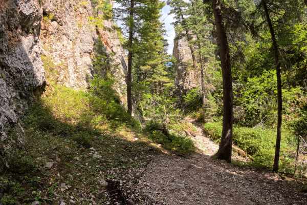
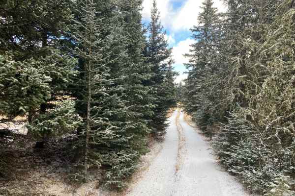
Trail Overview
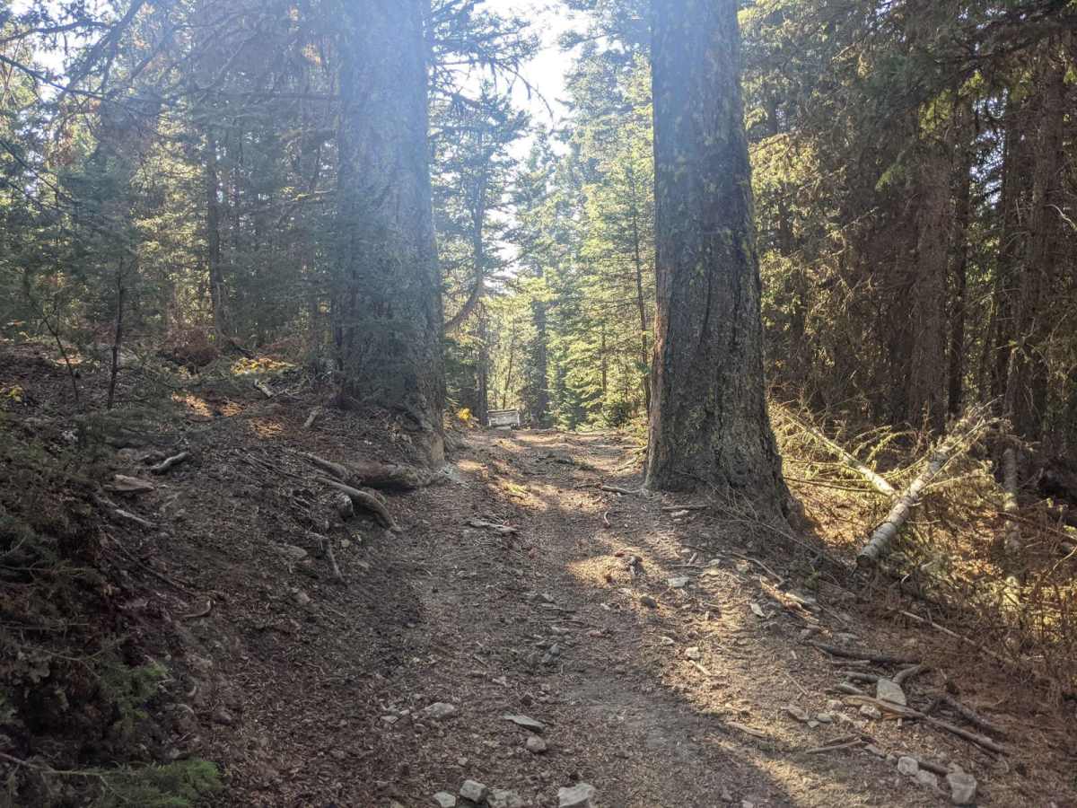
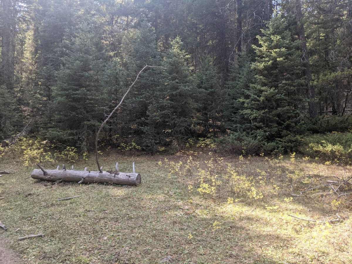
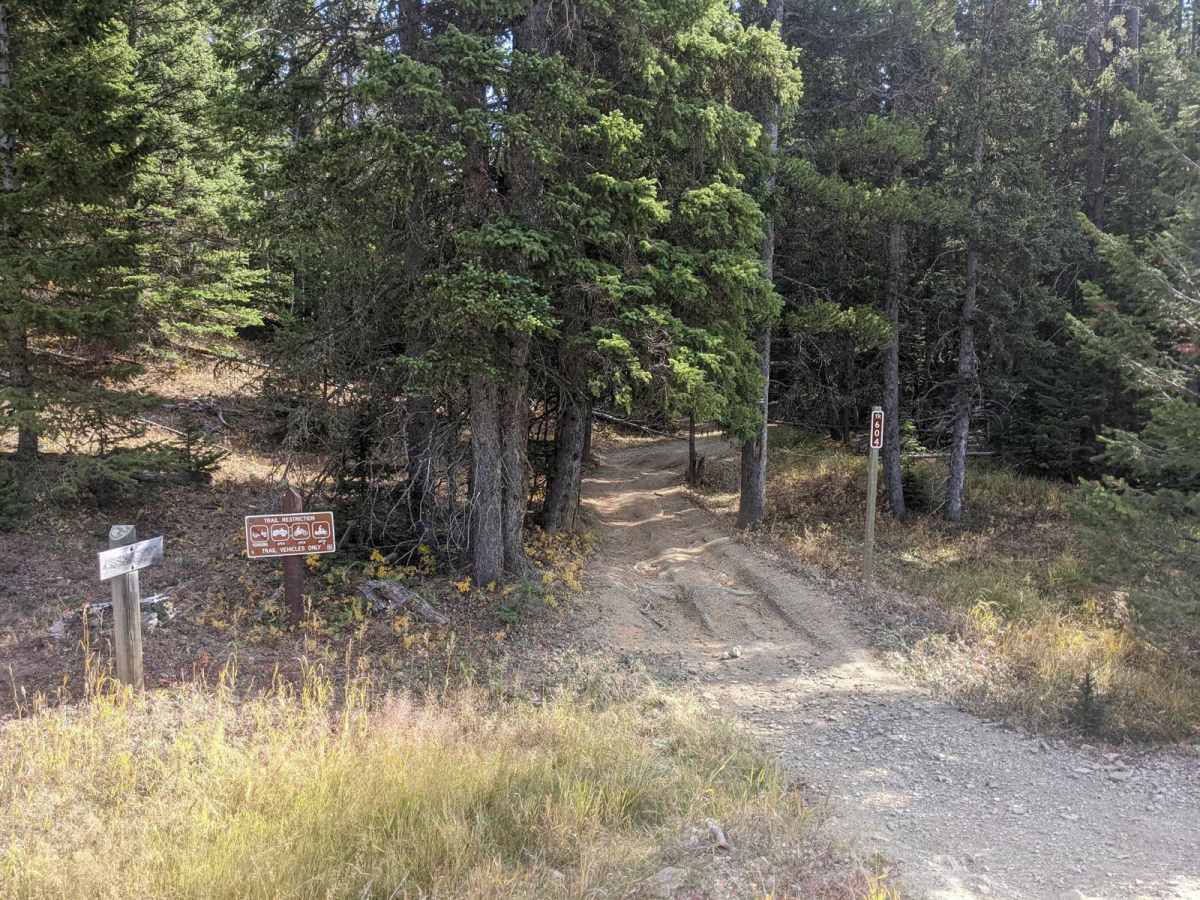
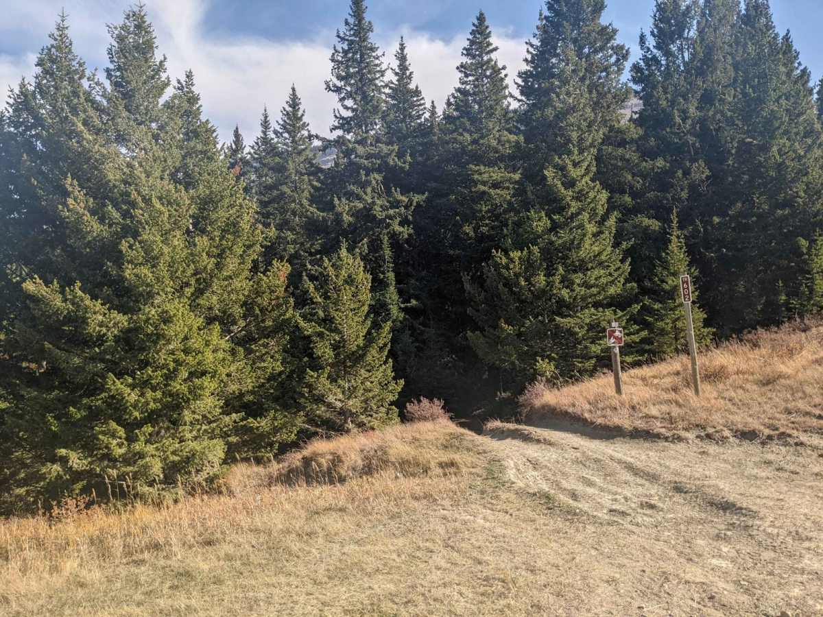
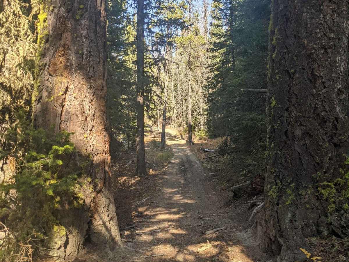
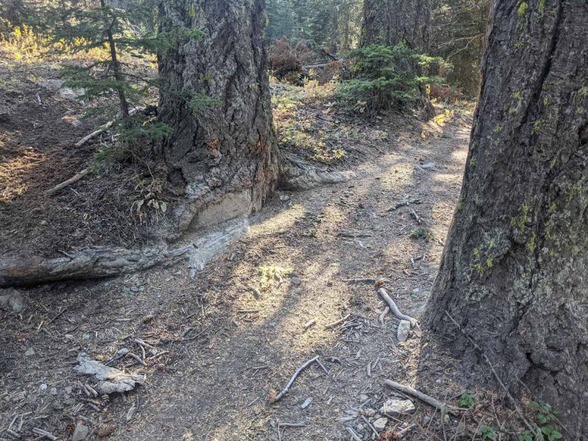
Willow Park is a 50-inch trail that connects the Russell Point area to the Haymaker Park area via trails 464, 189, 619, and 606. You may also see the names Willow Park, Burley Creek, Daisy Canyon, Upper Daisy, Nevada Creek, and Daisy Dean Creek on the map along this route. If you're camped out anywhere between Russian Flat and Sapphire Village and want to get to Haymaker Narrows, this is the way. If you're on a dirt bike, this opens up even more options to the south. At the north end, there is a unique steep cattle guard that is more like an arch bridge. There are some technical and steep sections but mostly easy riding. There is also a fun spot on 606 that has two large trees on each side of the trail about 50.001 inches apart that is not easily bypassed. Expect lots of mud in the spring or wet seasons and plenty of smooth areas too. Cell coverage is unlikely so be prepared with offline maps.
Difficulty
This trail is considered easy to moderately challenging because of its uneven, sometimes rutted dirt path with the possibility of encountering loose rocks. There may also be instances of mud holes and obstacles reaching heights of up to 12 inches, including ledges and short, steep inclines. While it is generally a narrow trail with limited opportunities for passing, it offers a mix of technical and steep sections along with easier riding terrain.