Trail Overview
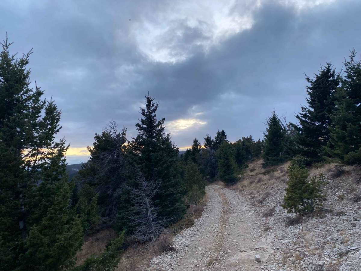
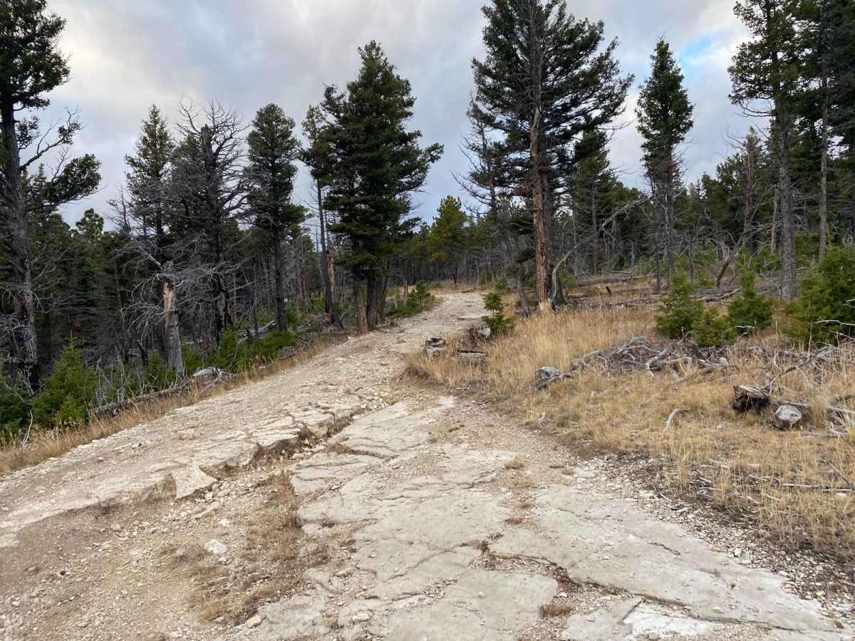
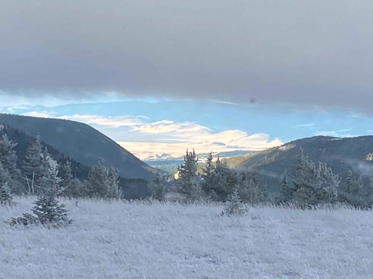
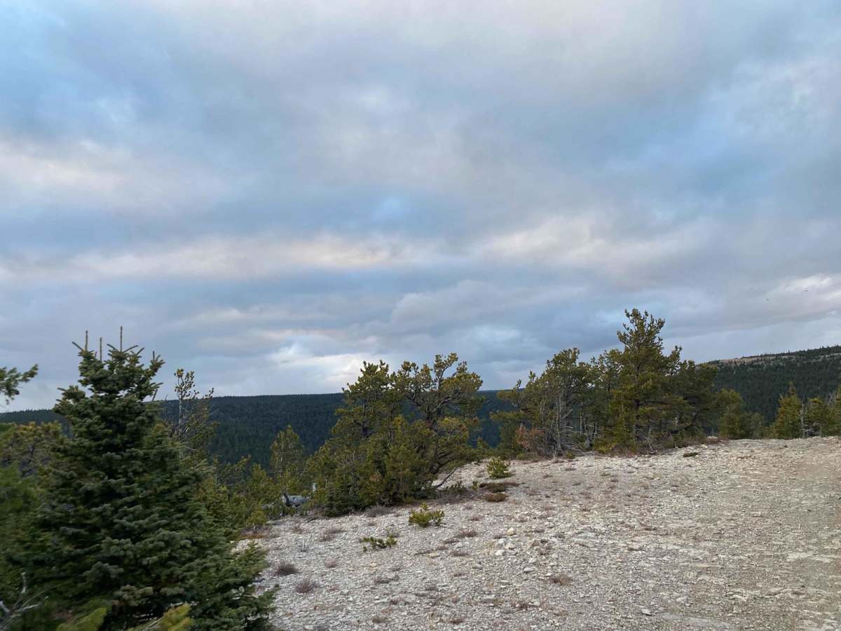
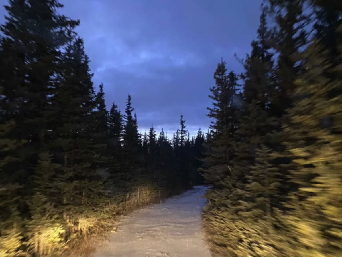
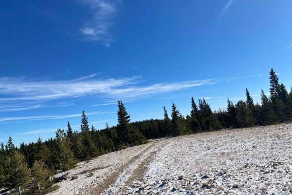
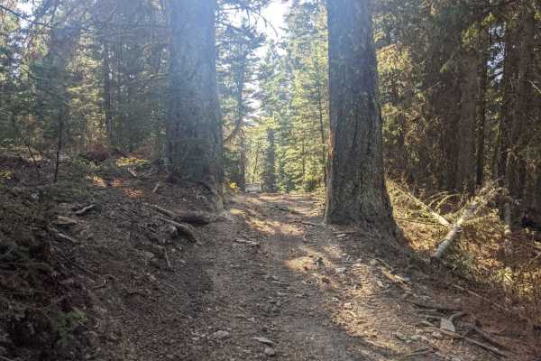
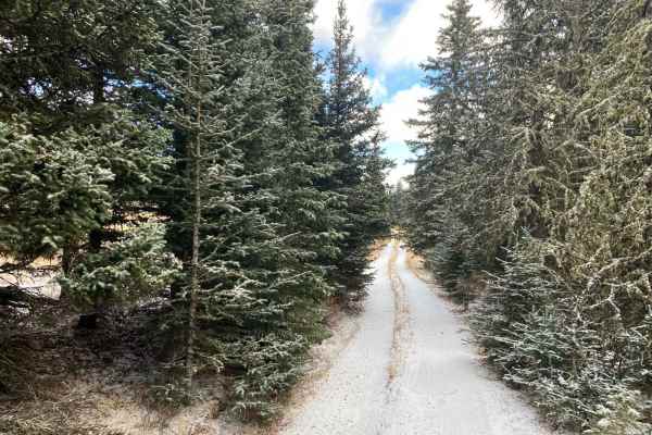
From Harlowton, head west for 1 mile on Highway 12 to Lode Road. Follow Lode Road to Jellison Road. Jellison Road ends at a fork. Take the right road, High Mountain Road. You will start winding through some trees. This portion is mild and mostly just a dirt road. Once you reach the obvious campground, continue on the jeep trail that drives straight through the campground. Multiple sites for dry camping are available here. Just past the campground, you will come to a fork. The left is the Jellison Haymaker Jeep trail. Take the right fork. You will slowly wind your way through the forest, gaining elevation and driving along the ridges of the mountains. This is a beautiful trail with many stunning viewpoints. The road is often made up of sharp rocks, so have good tires and a spare. You will encounter sections that will be muddy when wet. Some parts of the road run through thick, narrow woods, so don't drive here if you care about your paint! Bring a saw to remove downed trees, and watch the weather in the spring and fall, you do not want to be caught in a big snowstorm. This road can be used to access other jeep trails, done as a loop, or go to the top of Mount High and then back the way you came. It took us 4 hours to reach Mount High. There are the remains of a lookout tower at the top, and access to a hiking/biking trail.