
Dirt Bike Trails
Near South Charleston, West Virginia
Explore All Dirt Bike Trails Near South Charleston, West Virginia
Dirt Bike Trails Near South Charleston, West Virginia
Discover the best dirt bike trails near you. Browse trail maps, check difficulty ratings, and find your next adventure — whether you're looking for a quick ride or an all-day expedition.
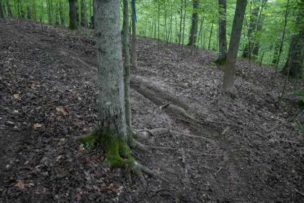
T22
T22 forms a half-mile loop at the end of T17, offering mostly smooth, gradual, and easy singletrack that weaves through a lush forest. The trail features small roots, occasional downed sticks, tight turns, and minor drop-offs, with a few short hill climbs that may become more challenging in wet cond...
Learn more about T22
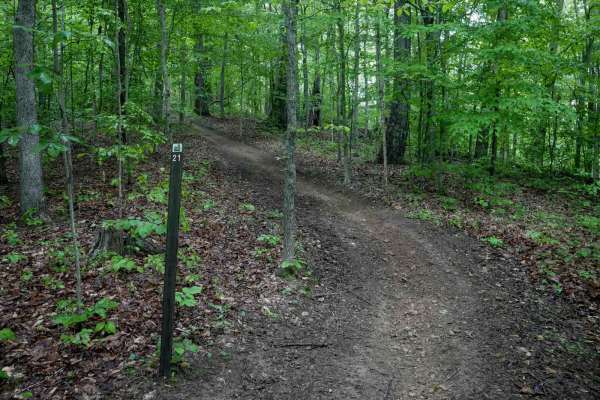
T21
T21 in the Tornado trail system is a short, quarter-mile loop off T17 featuring a wider path through the trees with a mostly smooth surface and minimal elevation change. The trail is not rutted or rocky, making it an easy option for adding mileage with minimal effort, great for newer riders. However...
Learn more about T21
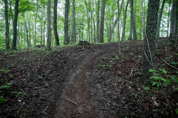
T61
Trail T61 is a narrow, quarter-mile loop branching off from T60, winding through the trees with a relatively smooth surface. It features a steep climb up a hillside that is less rutted and off-camber than nearby trails, with minimal roots and rocks. The loop finishes with a steep descent, reconnecti...
Learn more about T61
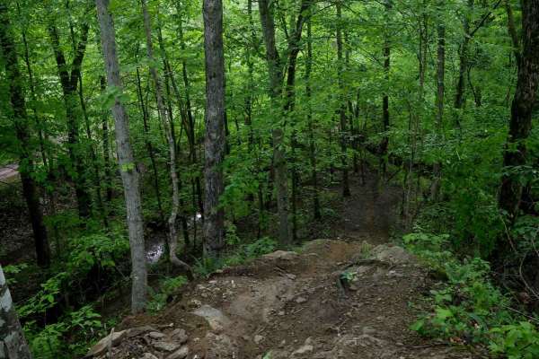
T57
Trail T57 in the Tornado trail system descends from Trail 17 into dense forest, following a winding dirt path that dips in and out of ravines with tight corners, ruts, and occasional steep climbs. The route includes side-hilling and a distinctive ridge section deep in the woods, where embedded rock ...
Learn more about T57
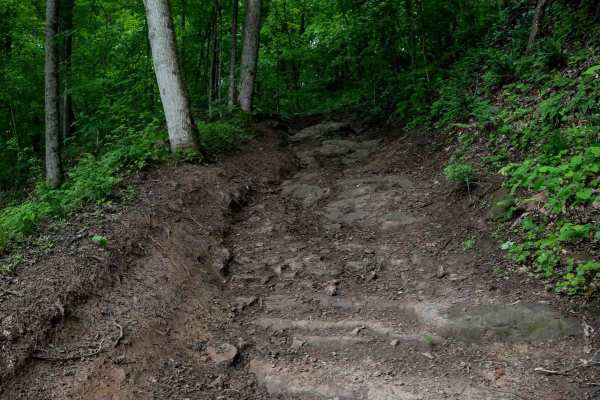
T53
Trail T53 in the Tornado trail system is a half-mile, narrow single-track running beneath a dense canopy. The trail is fast and flowy, dipping in and out of rocky ravines with occasional small roots and cut logs along the path. Riders should watch for stumps near the trail edge and a tight switchbac...
Learn more about T53
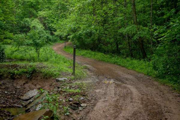
T23
Trail T23 in the Tornado trail system is a short, quarter-mile connector between Trails 17 and 24. This wide, graded path resembles a forest road, with a smooth surface and only shallow ruts that likely appear after rain. Surrounded by a lush canopy of leafy trees, it provides a scenic and easy tran...
Learn more about T23
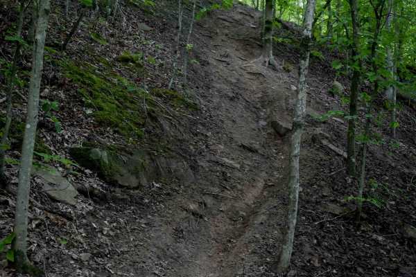
T60
Trail T60 is a short but challenging route, less than half a mile in length, featuring steep, rutted hill climbs that become especially difficult in wet conditions. The trail includes off-camber, root-covered hillsides, and steep switchbacks ascending the slope. It has lots of tight technical turns ...
Learn more about T60
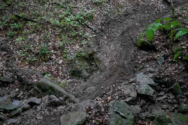
T59
Trail T59 is a tight, technical route under half a mile long, featuring narrow maneuvers through trees, embedded rocks, and several off-camber sections. It follows small ridges and dips across steep-sided ravines with small embedded boulders. Slick roots cross the trail in multiple spots, requiring ...
Learn more about T59
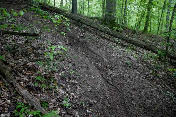
T56
Trail T56 in the Tornado trail system is a narrow single-track route characterized by tight maneuvering through dense trees, small roots, and sharp corners. The trail features a steep descent with a few off-camber sections and small switchbacks. While the surface is primarily smooth dirt with infreq...
Learn more about T56
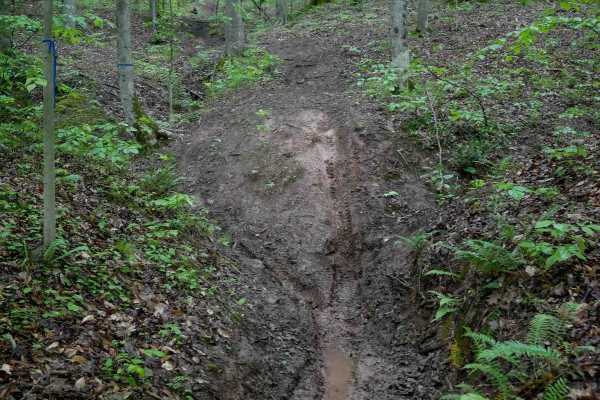
T69
T69 is a moderately easy trail that dips into a slick, rutted ravine filled with leaf litter and slippery roots. The route includes off-camber sections along the hillside above the ravine, with quick transitions in and out. After exiting the ravine, the trail weaves around the hillside with tighter ...
Learn more about T69
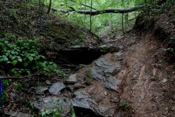
T91
Trail T91 is a more advanced, technical trail that begins on the south end by entering a tight, rocky ravine filled with loose and embedded boulders. These moss-covered rocks are often slick and form challenging 1-2 foot shelves. Riders can attempt to ride directly up the rocks or skirt the slick, o...
Learn more about T91
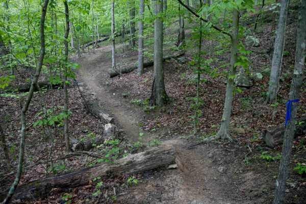
T24
Trail T24 in the Tornado trail system is a one-mile loop featuring tight, curvy single-track with a mix of wider sections and narrower passages through the trees. The trail is mostly gradual with a few steeper spots and small drop-offs from embedded rocks and roots. Deep muddy ruts and several cut l...
Learn more about T24
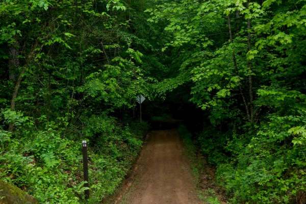
T15
Trail T15 is a half-mile, wide transfer trail running under a dense tree canopy. It parallels a ravine with a mostly straight path and a few gradual turns. The surface is smooth with small ruts and occasional muddy sections after rain, but remains very easy overall. T15 serves as a simple connector ...
Learn more about T15
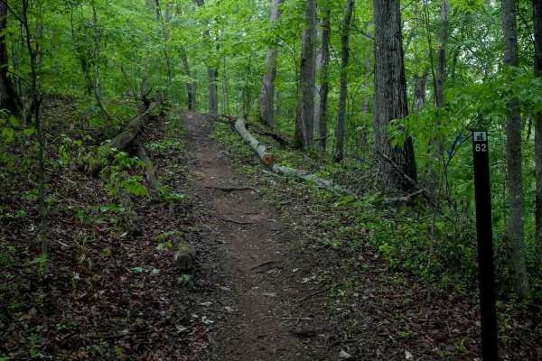
T62
Trail T62 is a one-mile, narrow single-track that meanders through a dense, lush forest. The trail features loamy, decomposing soil with slick roots, occasional rocks, and several steeper climbs and descents. Overgrown branches and closely spaced skinny trees line the path - watch your handlebars th...
Learn more about T62
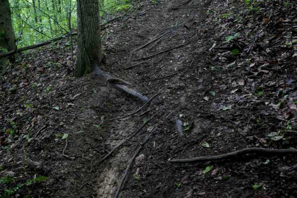
T54
Trail T54 is a tight, meandering trail through dense forest, featuring steep climbs and descents. It dips into ravines and climbs back up to the next hillside, with some off-camber exits that can be tricky. The trail's surface tends to be slick and greasy when wet, especially in spring when muddy ru...
Learn more about T54
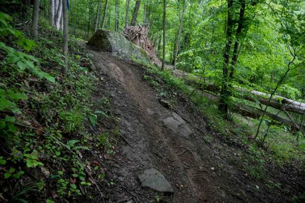
T28
Making a counterclockwise loop, T28 begins as a wide transfer section with small loose rocks and light ruts. As it enters the trees, the trail narrows and includes a few steeper sections with roots that can become slick, especially when wet. Decomposing downed trees add minor technical challenges, t...
Learn more about T28
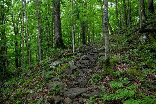
T90
Trail T90 starts with a rutted climb on the north end, then transitions into a tight, winding path through trees with embedded rocks and slick, moss-covered boulder faces. The trail continues with steep, short climbs and descents over its quarter-mile length. With its varied terrain and slick surfac...
Learn more about T90

T63
Trail T63 is a short, intermediate-level route under half a mile, starting with a flowy section through the trees before climbing steeply onto a small ridge. The descent off the ridge is technical, featuring steep drop-offs formed by embedded rock and roots. This trail is best suited for more experi...
Learn more about T63
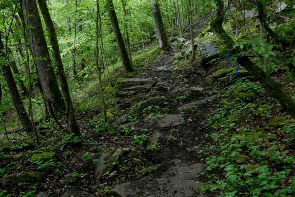
T92
Trail T92 begins on the southeast end with off-camber side-hilling and narrow, technical terrain featuring embedded rocks and 1-2 foot drop-offs. There are embedded rocks of various sizes and small rock pinches. The trail winds through a lush forest with moss-covered rocks and dense tree cover, with...
Learn more about T92
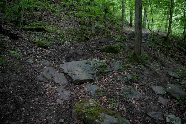
T58
Trail T58 is one of the more technically demanding routes in the Tornado trail system. This narrow single-track winds through a lush, mossy forest filled with slick roots, decomposing downed logs, and tightly spaced trees. The trail traverses off-camber sections along a hillside, with embedded rocks...
Learn more about T58
ATV trails near South Charleston, West Virginia
Explore ATV-friendly trails near you. These trails are accessible for vehicles up to 50 inches wide, perfect for ATVs and smaller off-road machines.
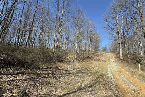
W7
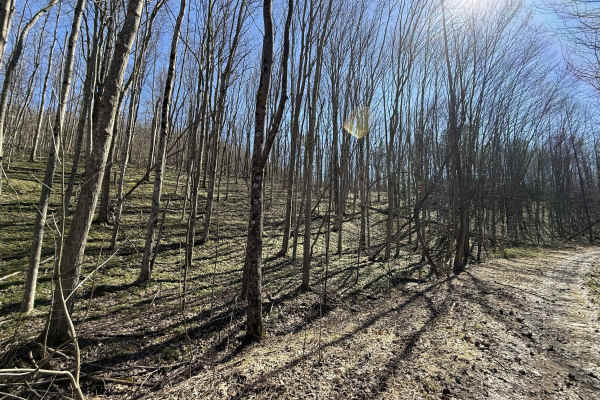
W7 is a blue-rated trail accessible from Branch Road, running north to the edge of the AOT property. This route serves as a key connector within the Witcher sector, providing access to multiple more challenging trails along the way. The trail features a mix of gravel and clay surfaces, with sections...
Learn more about W7
W26
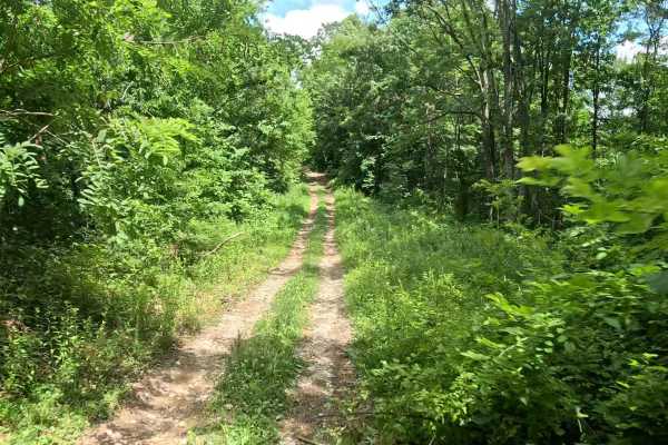
W26 is a blue-rated ridge trail in the Witcher sector connecting W6 and W7. This route offers a more technical alternative between trails, combining elevation, terrain variation, and a rewarding finish. The trail follows a ridge line with mixed terrain, leading into a notable creek crossing near the...
Learn more about W26
W27
W27 is a moderately difficult connector trail linking W23 and W7. The trail features approximately 700 feet of elevation change, making it a sustained climb when traveling from W23 or a sustained descent when traveling from W7. The trail consists primarily of dirt with scattered rocks. The upper por...
Learn more about W27
W22A
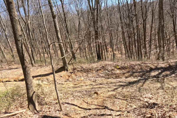
W22A is a designated bypass route off W7 that allows riders to avoid the rock ledge at the top of W22. This trail provides a safer alternative for those not wishing to attempt the main obstacle. Use W22A if you prefer to bypass the rock ledge or are operating a smaller machine. Stay aware of oncomin...
Learn more about W22A
UTV/side-by-side trails near South Charleston, West Virginia
Find UTV and side-by-side trails near you. These trails accommodate vehicles up to 60 inches wide, ideal for UTVs, side-by-sides, and wider off-road rigs.
W7
W7 is a blue-rated trail accessible from Branch Road, running north to the edge of the AOT property. This route serves as a key connector within the Witcher sector, providing access to multiple more challenging trails along the way. The trail features a mix of gravel and clay surfaces, with sections...
Learn more about W7
W26
W26 is a blue-rated ridge trail in the Witcher sector connecting W6 and W7. This route offers a more technical alternative between trails, combining elevation, terrain variation, and a rewarding finish. The trail follows a ridge line with mixed terrain, leading into a notable creek crossing near the...
Learn more about W26
W27
W27 is a moderately difficult connector trail linking W23 and W7. The trail features approximately 700 feet of elevation change, making it a sustained climb when traveling from W23 or a sustained descent when traveling from W7. The trail consists primarily of dirt with scattered rocks. The upper por...
Learn more about W27
W22A
W22A is a designated bypass route off W7 that allows riders to avoid the rock ledge at the top of W22. This trail provides a safer alternative for those not wishing to attempt the main obstacle. Use W22A if you prefer to bypass the rock ledge or are operating a smaller machine. Stay aware of oncomin...
Learn more about W22A
The onX Offroad Difference
onX Offroad combines trail photos, descriptions, difficulty ratings, width restrictions, seasonality, and more in a user-friendly interface. Available on all devices, with offline access and full compatibility with CarPlay and Android Auto. Discover what you're missing today!
Open Trail Map