
Dirt Bike Trails
Near Sion, British Columbia
Explore All Dirt Bike Trails Near Sion, British Columbia
Dirt Bike Trails Near Sion, British Columbia
Discover the best dirt bike trails near you. Browse trail maps, check difficulty ratings, and find your next adventure — whether you're looking for a quick ride or an all-day expedition.
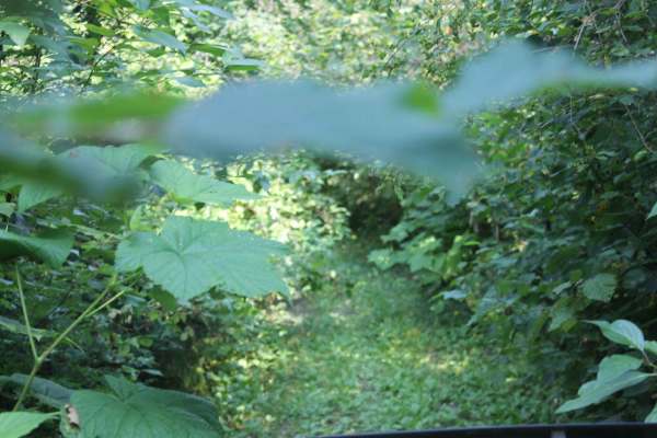
Al Donaldson Trail
A rutted dirt road leads slowly up the mountains to a lush canopy of trees whose branches stretch over the trail until you are enclosed. Once you make your way through a few miles of natural BC Pin-striping, you will be greeted with pristine views leading to a scenic FSR that takes you back to pavem...
Learn more about Al Donaldson Trail
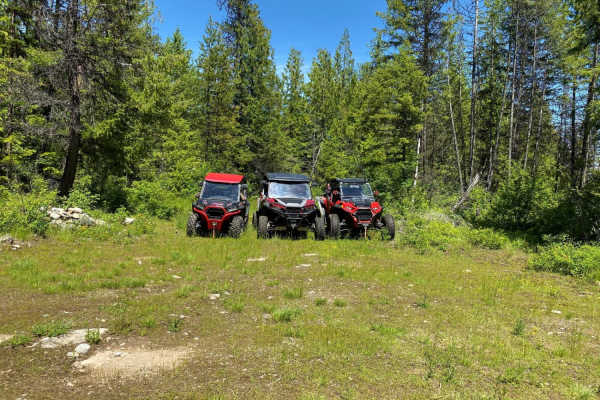
Kerry Creek to Owl Mountain Trail
West trail entrance is unmarked. Proceed one mile north from staging on #160 road, past the #150 (Kerry Creek Rd intersection). Look for a right turn off into the forest. For the East trail entrance, take the right turn onto #150 (Kerry Creek Rd), proceed 5.15 miles. Left turn on #215 road, proceed ...
Learn more about Kerry Creek to Owl Mountain Trail
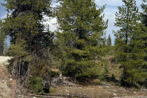
FS 6100-227
This forest road starts on gravel and quickly turns to dirt. There are sections where the trail is a 2-track and narrow, but wide enough to pass other vehicles should you encounter any. There are areas of ruts and wash, and portions of this trail had standing water/puddles and were muddy. The trail...
Learn more about FS 6100-227
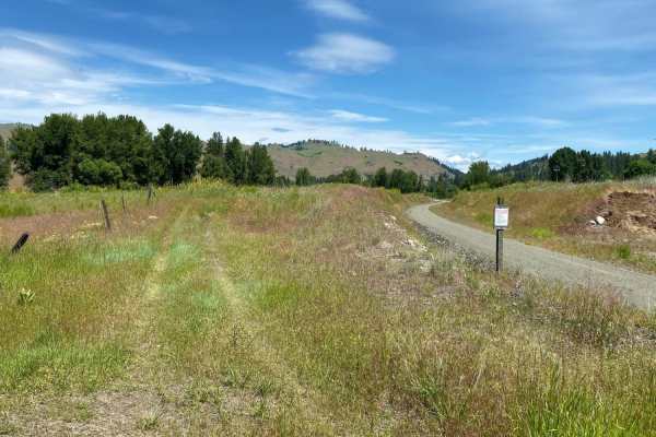
Vulcan Mtn
This is an easy, family oriented ride. Paved and gravel roads. Road climbs up into the Vulcan Mtn region, with mostly forested roads. Expect to encounter dusty conditions in the summer and fall, or muddy conditions following storms.
Learn more about Vulcan Mtn
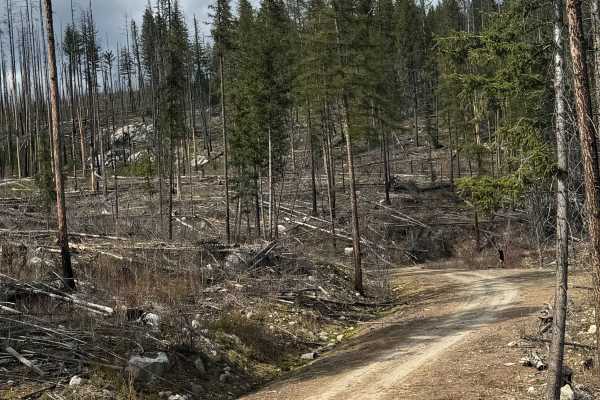
Dry Creek - FS 6100-350
This is a gravel-based forest road that gradually climbs up a ridge in front of Dry Mountain. Not sure where the name came from because there was no creek to be found. This is a narrow road with a few switchbacks that has some overgrown vegetation and travels through an old burn, so there are trees ...
Learn more about Dry Creek - FS 6100-350
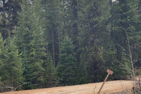
Taylor Ridge Trail
This gravel forest road travels 17 miles through the National Forest. It is a smooth gravel road with minimal washboard and ruts, making it suitable for any vehicle type. The trail travels between Rabbit and Bulldog Mountain and climbs to an elevation of 5,138 feet. From the high point, you have an ...
Learn more about Taylor Ridge Trail
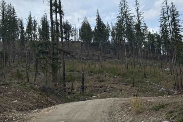
Goat Creek - FS 6100-215
This forest road starts off being gravel-based, but transitions to dirt about halfway through. The trail gradually climbs in the beginning with some ledges, then levels out quite a bit. You will travel through an old, burnt forest area, and the trail dead ends into overgrown and downed trees. There ...
Learn more about Goat Creek - FS 6100-215
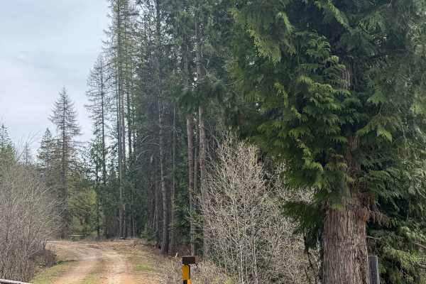
West North Boulder Ridge
This is a dirt-based forest road that is 2-track in many sections. The trail is a narrow, one-lane road that does have places to pass. There are minor ruts and washes, but any vehicle type could traverse this trail with no issues. There are ledges with small drop-offs, but the trail is wide enough t...
Learn more about West North Boulder Ridge
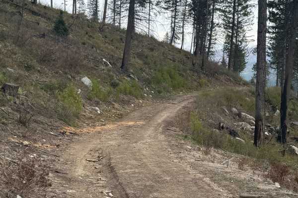
FS 6100-078
This is a short, dirt-based forest road that climbs up to a flat spot on a ridge. There are some ruts and wash along the trail, but nothing over 6-8 inches, and any vehicle could travel this with no issue. The trail is narrow and one vehicle wide, but the end offers a large, flat, round area for dis...
Learn more about FS 6100-078
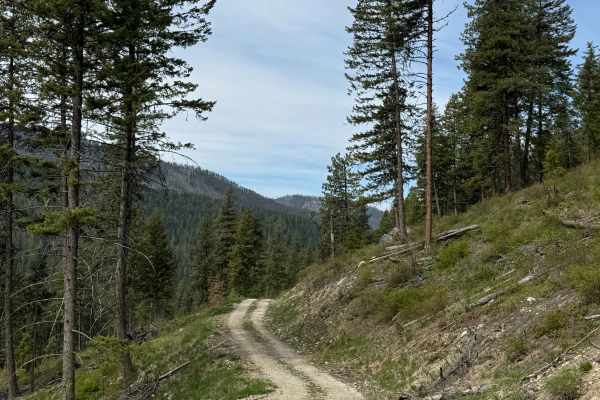
Tamarack Spring Trail
This gravel-based 2-track forest road leads up the ridge to Tamarack Spring from the East North Boulder Ridge Trail. The trail is one vehicle wide with a ledge, but has room to pass in the switchback. Once you make it to the top, the Spring feeds water into a livestock water trough. You will have vi...
Learn more about Tamarack Spring Trail
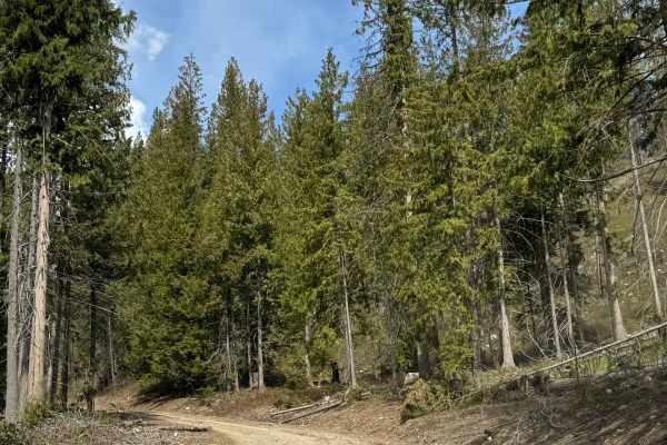
East North Boulder Ridge
This gravel forest road is an easy drive overall. The route is narrow in most places and is generally only one vehicle wide, but there are occasional pull-offs for passing. The trail gradually climbs and includes a few ledges with drop-offs. Aside from two switchbacks, the road is mostly straight wi...
Learn more about East North Boulder Ridge
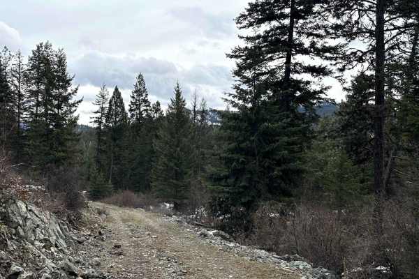
FSR 120
This short trail leads to an interesting historical mining site, the Kettle River Mine. The main adits are closed but old historical buildings and artifacts remain, including an 1800s steam engine. The 1.6-mile trail is wide enough for one vehicle with turnout areas to pass and several steep, rutted...
Learn more about FSR 120
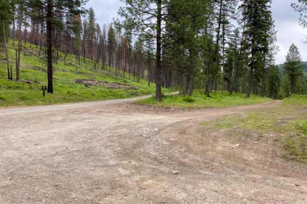
Sheep Creek
Gravel road for the most part, with occasional dirt/muddy areas, depending on weather. Easy ride, gentle pitches.
Learn more about Sheep Creek
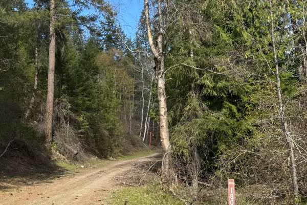
Deep Creek - FS 1500-180
This is a gravel-based forest road that loops around Contention Hill. The road is 2-lane in some places and one vehicle wide with places to pass. There are some ledges, but the drop-offs are not far. There are cattle guards, so you will need to watch your speed while enjoying the forest views. The r...
Learn more about Deep Creek - FS 1500-180
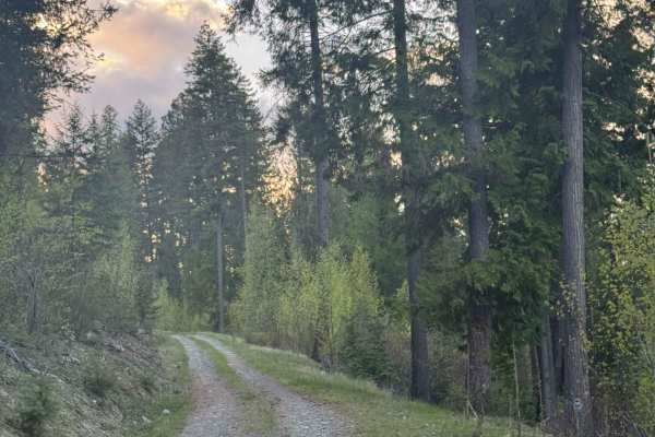
McKinley Mountain - FS 1500-045
Gravel-based forest road that provides dispersed camping and good sunset views of the surrounding ridges. The trail is overall smooth with minor ruts and wash; however, there are downed trees along the entire trail. Some appear to have been there for Long periods and have been driven over, and many ...
Learn more about McKinley Mountain - FS 1500-045
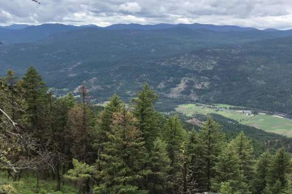
Orient-First Thought
This scenic 20-mile loop is perfect for beginners, families, and those seeking a relaxing dirt road excursion with panoramic views of the Kettle River Valley. Beginning near the small community of Orient, Washington, off Highway 395, this easy, rating-2 trail winds around and climbs up First Thought...
Learn more about Orient-First Thought
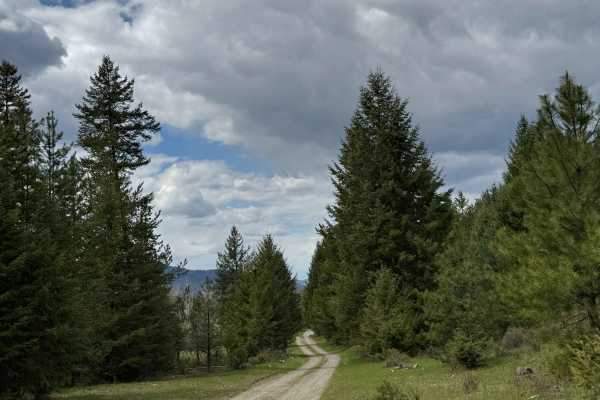
Box Canyon - FS 1500-030
This is a gravel-based forest road that runs through the National Forest into Private land. The trail passes by Summit Lake, and you will have a view of the pretty alpine lake. The beginning of the trail is more narrow and wooded, but closer to the end, it opens up to meadows before entering private...
Learn more about Box Canyon - FS 1500-030
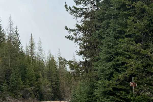
South Boulder - FS 6110
This forest road is gravel and dirt-based, and runs 13.3 miles from the paved Highway 602 to Forest Road 2030, which has many more split-off trails. This trail is relatively smooth with minor ruts and wash, and any vehicle type should have no issue. There is a portion where the road narrows and has ...
Learn more about South Boulder - FS 6110
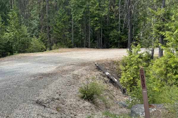
Lower Cabin - FS 6100-090
This gravel-based forest road gradually climbs up along a ridge on Bulldog Mountain. There is a bridge over Lower Cabin Creek, and also cattle guards, so you will need to watch your speed. The trail has minor ruts and wash, and running spring water on a section of the trail. At the end, there is an ...
Learn more about Lower Cabin - FS 6100-090
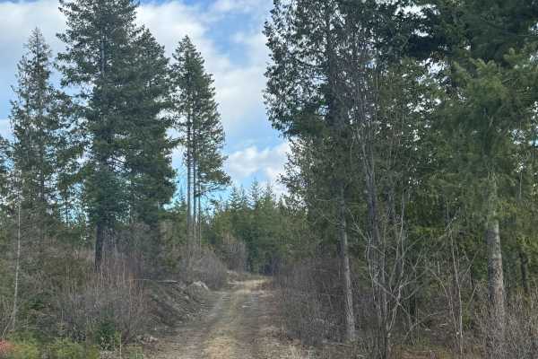
Hope Mountain - FS 1500-194
This trail runs between Hope and Bowen Mountain. The trail is gravel-based and 2-track for most of the trail. The road is very narrow in places, with few places to pass any other vehicles. The road is shelf-like in several areas, with ledges down into the bottom lands between ridges. There are sever...
Learn more about Hope Mountain - FS 1500-194
ATV trails near Sion, British Columbia
Explore ATV-friendly trails near you. These trails are accessible for vehicles up to 50 inches wide, perfect for ATVs and smaller off-road machines.
Al Donaldson Trail
A rutted dirt road leads slowly up the mountains to a lush canopy of trees whose branches stretch over the trail until you are enclosed. Once you make your way through a few miles of natural BC Pin-striping, you will be greeted with pristine views leading to a scenic FSR that takes you back to pavem...
Learn more about Al Donaldson Trail
Kerry Creek to Owl Mountain Trail
West trail entrance is unmarked. Proceed one mile north from staging on #160 road, past the #150 (Kerry Creek Rd intersection). Look for a right turn off into the forest. For the East trail entrance, take the right turn onto #150 (Kerry Creek Rd), proceed 5.15 miles. Left turn on #215 road, proceed ...
Learn more about Kerry Creek to Owl Mountain Trail
FS 6100-227
This forest road starts on gravel and quickly turns to dirt. There are sections where the trail is a 2-track and narrow, but wide enough to pass other vehicles should you encounter any. There are areas of ruts and wash, and portions of this trail had standing water/puddles and were muddy. The trail...
Learn more about FS 6100-227
Vulcan Mtn
This is an easy, family oriented ride. Paved and gravel roads. Road climbs up into the Vulcan Mtn region, with mostly forested roads. Expect to encounter dusty conditions in the summer and fall, or muddy conditions following storms.
Learn more about Vulcan Mtn
UTV/side-by-side trails near Sion, British Columbia
Find UTV and side-by-side trails near you. These trails accommodate vehicles up to 60 inches wide, ideal for UTVs, side-by-sides, and wider off-road rigs.
Al Donaldson Trail
A rutted dirt road leads slowly up the mountains to a lush canopy of trees whose branches stretch over the trail until you are enclosed. Once you make your way through a few miles of natural BC Pin-striping, you will be greeted with pristine views leading to a scenic FSR that takes you back to pavem...
Learn more about Al Donaldson Trail
Kerry Creek to Owl Mountain Trail
West trail entrance is unmarked. Proceed one mile north from staging on #160 road, past the #150 (Kerry Creek Rd intersection). Look for a right turn off into the forest. For the East trail entrance, take the right turn onto #150 (Kerry Creek Rd), proceed 5.15 miles. Left turn on #215 road, proceed ...
Learn more about Kerry Creek to Owl Mountain Trail
FS 6100-227
This forest road starts on gravel and quickly turns to dirt. There are sections where the trail is a 2-track and narrow, but wide enough to pass other vehicles should you encounter any. There are areas of ruts and wash, and portions of this trail had standing water/puddles and were muddy. The trail...
Learn more about FS 6100-227
Vulcan Mtn
This is an easy, family oriented ride. Paved and gravel roads. Road climbs up into the Vulcan Mtn region, with mostly forested roads. Expect to encounter dusty conditions in the summer and fall, or muddy conditions following storms.
Learn more about Vulcan Mtn
The onX Offroad Difference
onX Offroad combines trail photos, descriptions, difficulty ratings, width restrictions, seasonality, and more in a user-friendly interface. Available on all devices, with offline access and full compatibility with CarPlay and Android Auto. Discover what you're missing today!
Open Trail Map