Trail Overview
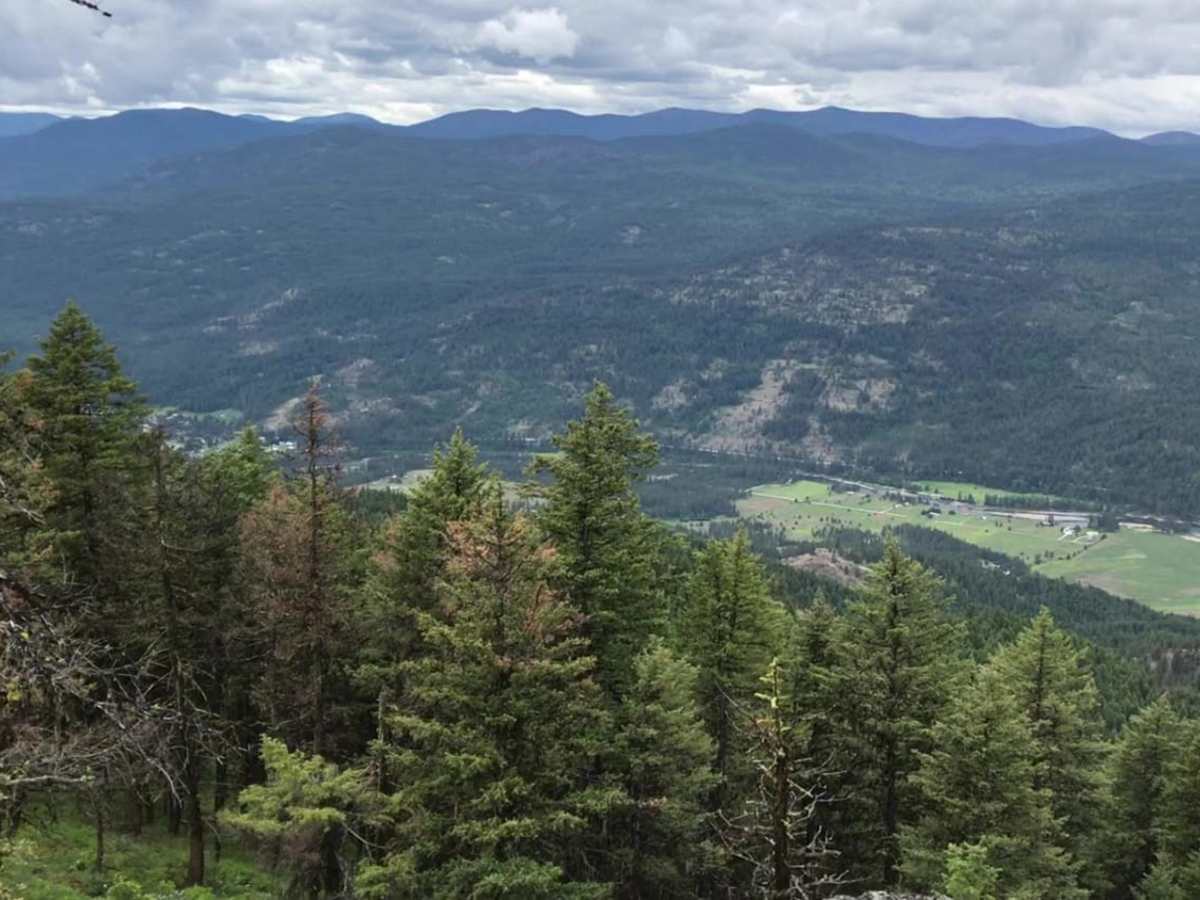
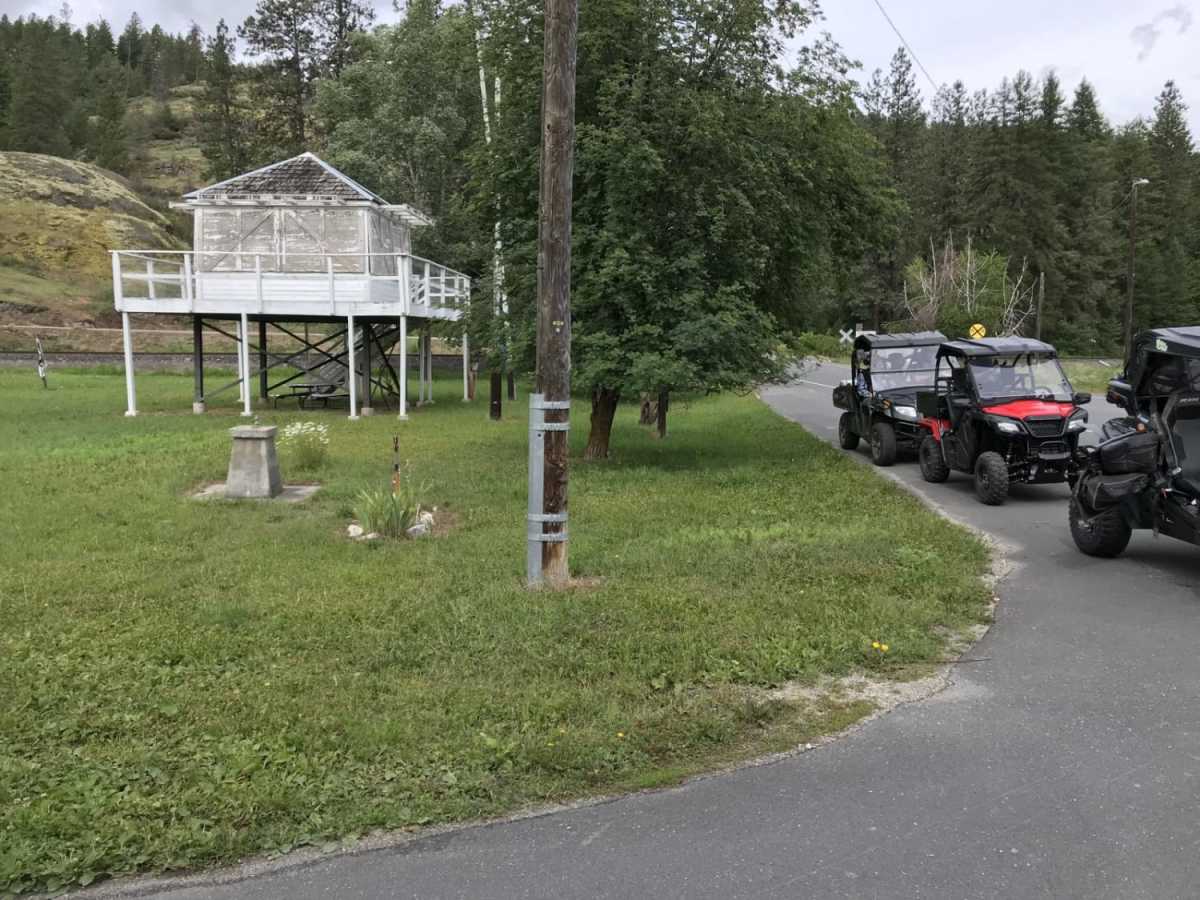
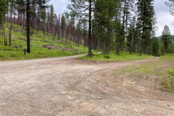
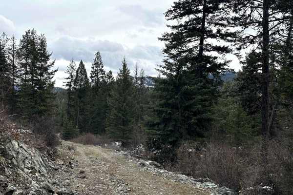
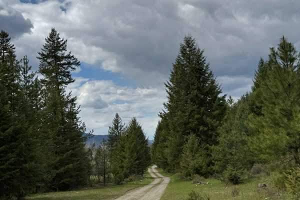
This scenic 20-mile loop is perfect for beginners, families, and those seeking a relaxing dirt road excursion with panoramic views of the Kettle River Valley. Beginning near the small community of Orient, Washington, off Highway 395, this easy, rating-2 trail winds around and climbs up First Thought Mountain, reaching a peak elevation of 3,963 feet. The well-maintained county gravel roads are suitable for most stock high-clearance four-wheel-drive vehicles, SUVs, and SxSs, making it an accessible adventure for riders of all skill levels. Along the way, travelers will experience beautiful mountain vistas and transition through a mix of public and private forest lands.
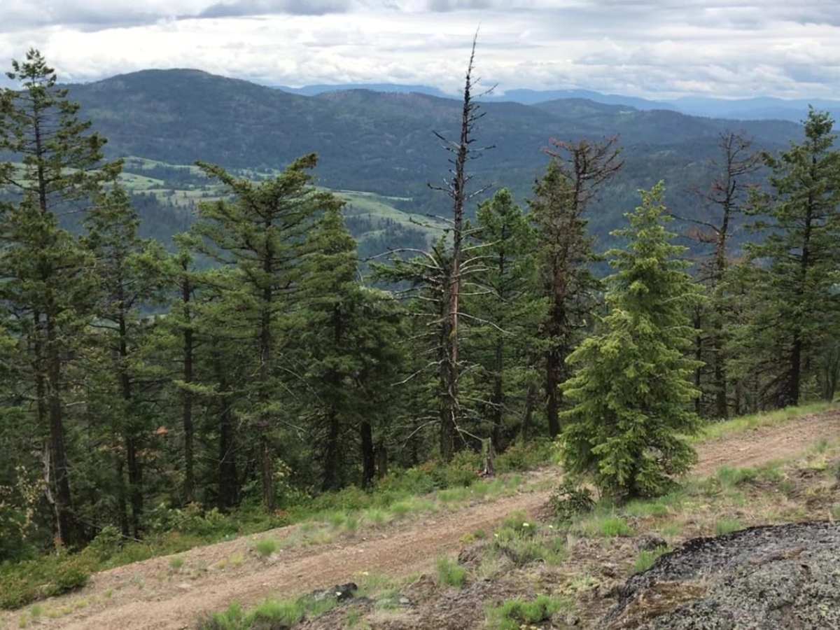
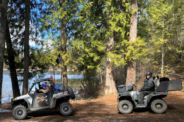
The route features an optional spur trail leading directly to the summit of First Thought Mountain, where drivers are rewarded with spectacular views of the surrounding Colville National Forest and Kettle River. The eastern leg of the loop runs past the picturesque Pierre Lake, offering excellent opportunities for camping, fishing, and boating, while the northern section transitions briefly to a paved surface. Keep in mind that these gravel roads can become extremely dusty during the dry summer and fall months, so maintaining a safe distance between vehicles in a group is recommended. Be respectful of private property boundaries along the roadside, and watch for local wildlife like deer and wild turkeys that frequently cross the trail.