
Dirt Bike Trails
Near Saint Maries, Idaho
Explore All Dirt Bike Trails Near Saint Maries, Idaho
Dirt Bike Trails Near Saint Maries, Idaho
Discover the best dirt bike trails near you. Browse trail maps, check difficulty ratings, and find your next adventure — whether you're looking for a quick ride or an all-day expedition.
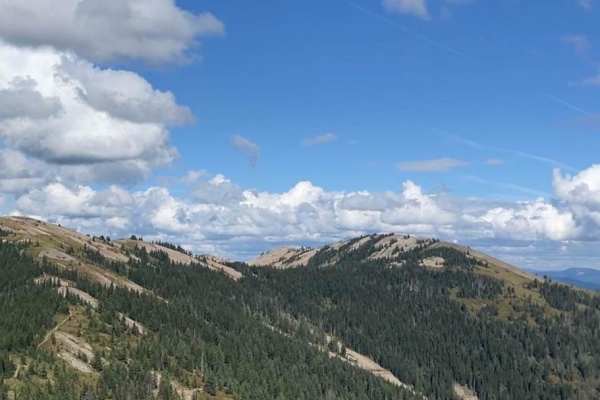
Saint Joe Baldy
If you're in search of breathtaking vistas that stretch as far as the eye can see, look no further than these magnificent trails. Nestled amidst nature's beauty, these paths offer an opportunity to connect with the great outdoors while taking in some of the most stunning panoramic views nature has t...
Learn more about Saint Joe Baldy
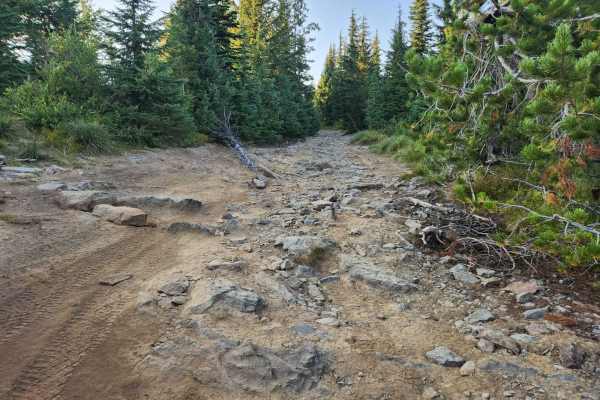
St. Joe Divide Access
The St. Joe Divide Access Road is a steep, brief, and rocky offshoot road from the Twin Crags road that gives access to the St. Joe Divide ridge line motorcycle trail. The rocks on the road are sharp and must be traversed with care. The most southern tip of the road is the ridge line access point, t...
Learn more about St. Joe Divide Access
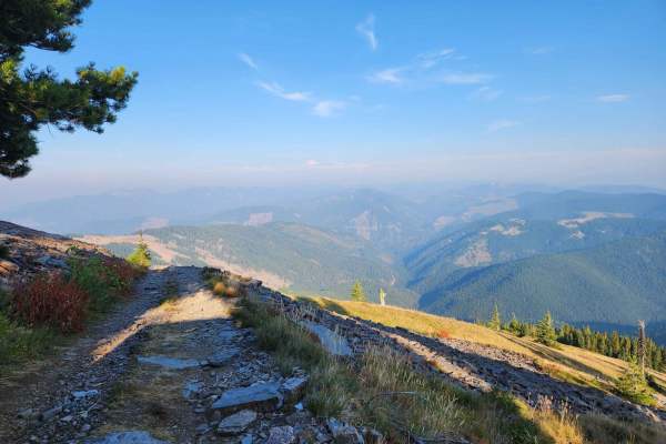
Twin Crags Road
Twin Crags Road is a moderate gravel and rock road in the St. Joe Mountains south of Cataldo, Idaho. This route is primarily on BLM and IDL land, with sections that are owned by various logging companies. This is the highest point you can drive to in Kootenai County. The road becomes overgrown for a...
Learn more about Twin Crags Road

Kalarney Lake to 4th of July
This is a very nice route through the mountains from the Rose Lake area to the top of 4th of July Pass. The climb out of Kalarney Lake has some amazing views of the small lakes on the valley floor. Once you cross over the ridge, you are greeted by great views of the surrounding mountains. The road ...
Learn more about Kalarney Lake to 4th of July
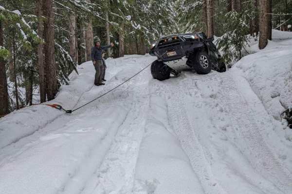
Roller Coaster
This is a great trail for all levels. There are bypasses to most obstacles, which allows you to make the trail as difficult as you would like. It will test your approach & departure angles. There are logs and rock obstacles. Make sure to stay on the trail and always clean up after yourself to keep t...
Learn more about Roller Coaster
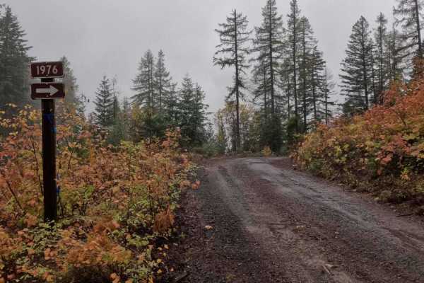
Hill Creek - FS 1976
1976 Hill Creek is a 1.9-mile out-and-back trail that starts at 377 Palouse Divide West, climbing around the west and north side of West Dennis, before ending at the border of PotlachDeltic timberland, where the trail becomes restricted to 50-inch and under OHVs. Hill Creek has recently had logging ...
Learn more about Hill Creek - FS 1976
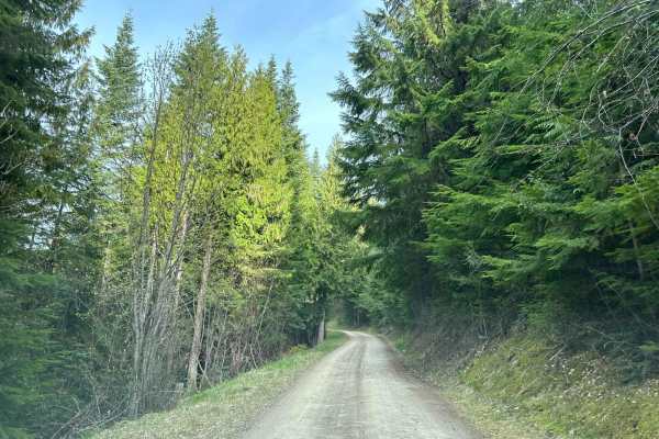
Carlin Creek/Carrill Ridge
This is a very nice easy drive through some beautiful thick forest. The road is mostly wide enough for easy passing and is mostly smooth. There are good views of the valleys and the rest of the mountain range. This is a great alternate route from Harrison to Carlin Bay for 4-wheel vehicles as well a...
Learn more about Carlin Creek/Carrill Ridge
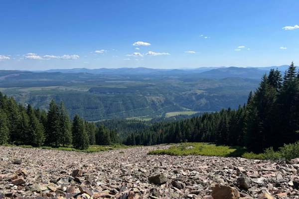
Cataldo to St. Joe Baldy
This is a nice, easy route from Cataldo to the top of St. Joe Baldy. There are 2 different hiking trails on the route that take you to Crystal Lake. The last mile or so becomes very exposed and rocky, but at the top, you can see up and down the St. Joe River for miles.
Learn more about Cataldo to St. Joe Baldy
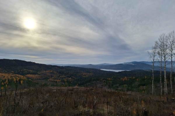
Mount Coeur d'Alene (439)
Mount Coeur d'Alene (439) is a single-width road that begins off East Burma Road and heads east up Mount Coeur d'Alene. After the peak of Mount Coeur d'Alene, it continues towards Red Horse Mountain, ending near Beauty Saddle at a large 4-way intersection with plenty of room to park and some breatht...
Learn more about Mount Coeur d'Alene (439)
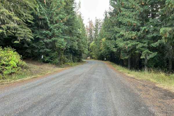
Palouse Divide East - FS 377
Palouse Divide West is a 15.3-mile point-to-point trail that, beginning from the west, starts at the terminus of Big Creek Road. The trail descends the northwest side of Prospect Peak, continuing through a valley along Meadow Creek for several miles before making a sharp left turn as shown in Pictur...
Learn more about Palouse Divide East - FS 377
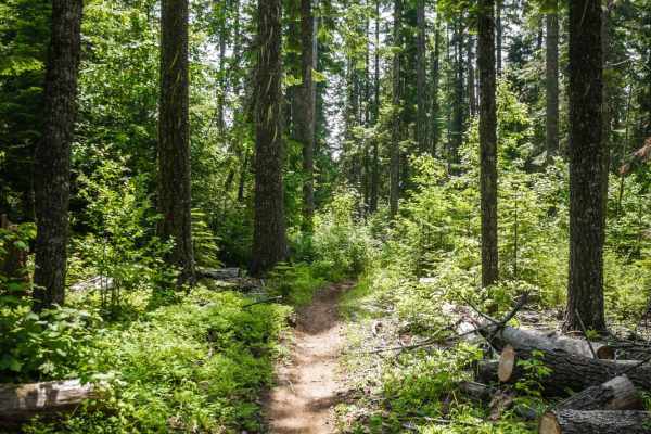
Three Tree Butte No. 26
Three Tree Butte Trail No. 26 is a really fun alpine single track that is great for beginners or as part of a chill trail ride through this trail system. It starts from the north end as a really wide path, almost as wide as a jeep road. It turns off to the right from the wide path and climbs up a hi...
Learn more about Three Tree Butte No. 26
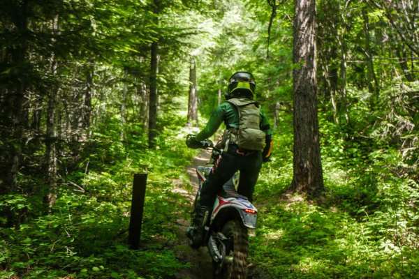
East Fork Meadow Creek No. 224 (Part 2)
This is a small piece of trail 224 that starts from the Palouse Divide dirt road that dumps out on a logging road that can be taken to connect to the rest of the 224 single track (Part 1). This is a short section of trail that is flat, wide and easy through overgrown bushes with no obstacles. It lo...
Learn more about East Fork Meadow Creek No. 224 (Part 2)

Beauty Bay/Harrison
This is an easy backcountry route between Harrison and Beauty Bay. The route takes you through lots of dense forest and cedars with filtered views into the Rose Lake area. This route can be done with any type of vehicle as it is on well-maintained FS roads.
Learn more about Beauty Bay/Harrison

Beauty Creek Divide Trail
The Beauty Creek Divide Trail is southeast of the city of Couer d'Alene. The trail has multiple viewpoints of the mouth of the Couer d'Alene River. There are a couple of dispersed camp sights and wide pullouts to allow other users to get by. there are some rutty areas and steep cliffside sections. R...
Learn more about Beauty Creek Divide Trail
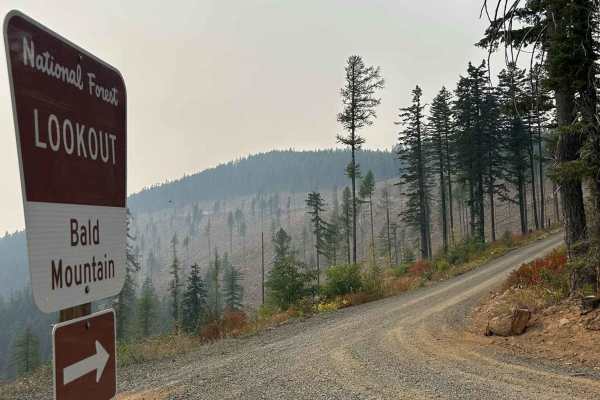
Bald Mountain Lookout - FS 377A
Bald Mountain Lookout (FS 377A) is a 1.2-mile point-to-point gravel road that takes riders up to the Bald Mountain Lookout Tower. The trail is a steep and consistent climb, maintaining a 10% grade for its entire length. The Bald Mountain Lookout Tower is available for rent through recreation.gov. Pl...
Learn more about Bald Mountain Lookout - FS 377A
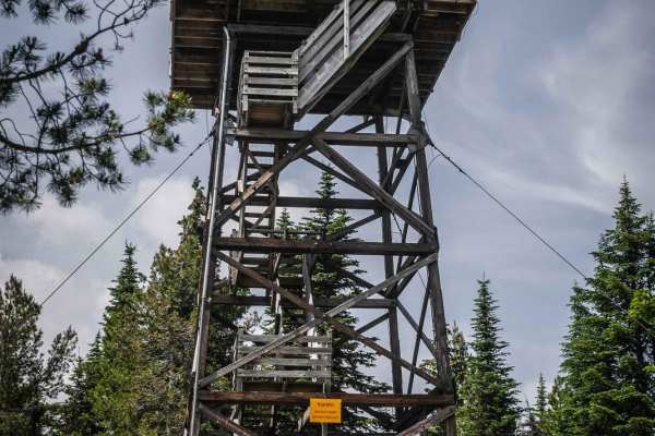
Beason Meadows ATV
Beason Meadows is a short ATV trail in the Giant White Pine trail system that takes you to the top of Bald Mountain at 5,321 feet elevation. The top of Bald Mountain has a fire lookout tower, a picnic table, and a pit toilet. It's fun to climb the steps of the lookout tower, but the top of the tower...
Learn more about Beason Meadows ATV
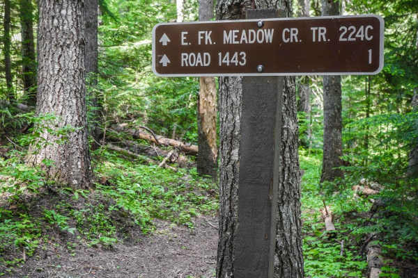
224C
This is a short spur off of East Fork Meadow Creek that starts off of the main trail at a signed intersection. It continues on a shelf on a trail that looks like an old road so it stays pretty wide and flat. It slowly climbs up and becomes tighter in an overgrown area of trees with branches that whi...
Learn more about 224C
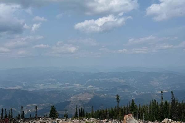
Frost Peak
This route gives you incredible views of Wardner Peak and valleys. It finishes at the top of Frost Peak, giving you views of the Silver Valley. Most of the trail is easy fire road but the lase mile to the top gets rough and rocky., but the last
Learn more about Frost Peak
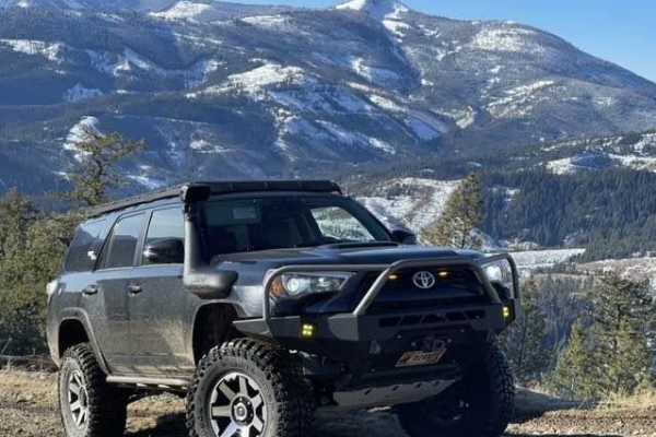
Pine Point
This trail is just outside Pinehurst. Coming down the little road next to a very beautiful creek. Then you turn left to go up the trail. It's an easy forest service road. But you can take this awesome bypass that goes straight up the mountain. On a tight little trail through the pine trees and recon...
Learn more about Pine Point
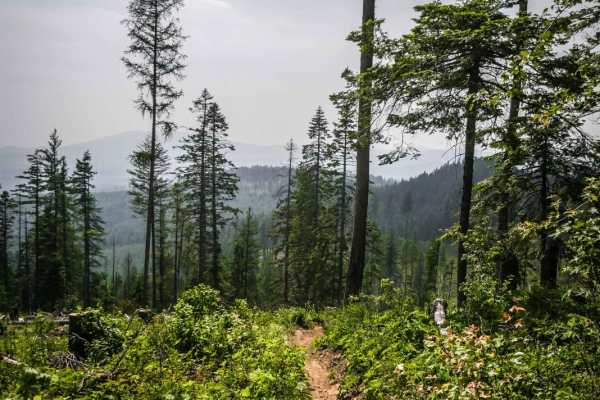
Beason Meadows 228 (Part 2)
Beason Meadows is an intermediate single track in the Giant White Pine trail system that runs all the way from the Giant White Pine trailhead and campground off of Highway 6, to the Beason Meadows ATV trail, which takes you to the top of Bald Mountain and to 5,300 feet elevation with a lookout tower...
Learn more about Beason Meadows 228 (Part 2)
ATV trails near Saint Maries, Idaho
Explore ATV-friendly trails near you. These trails are accessible for vehicles up to 50 inches wide, perfect for ATVs and smaller off-road machines.
Saint Joe Baldy
If you're in search of breathtaking vistas that stretch as far as the eye can see, look no further than these magnificent trails. Nestled amidst nature's beauty, these paths offer an opportunity to connect with the great outdoors while taking in some of the most stunning panoramic views nature has t...
Learn more about Saint Joe Baldy
St. Joe Divide Access
The St. Joe Divide Access Road is a steep, brief, and rocky offshoot road from the Twin Crags road that gives access to the St. Joe Divide ridge line motorcycle trail. The rocks on the road are sharp and must be traversed with care. The most southern tip of the road is the ridge line access point, t...
Learn more about St. Joe Divide Access
Twin Crags Road
Twin Crags Road is a moderate gravel and rock road in the St. Joe Mountains south of Cataldo, Idaho. This route is primarily on BLM and IDL land, with sections that are owned by various logging companies. This is the highest point you can drive to in Kootenai County. The road becomes overgrown for a...
Learn more about Twin Crags Road
Kalarney Lake to 4th of July
This is a very nice route through the mountains from the Rose Lake area to the top of 4th of July Pass. The climb out of Kalarney Lake has some amazing views of the small lakes on the valley floor. Once you cross over the ridge, you are greeted by great views of the surrounding mountains. The road ...
Learn more about Kalarney Lake to 4th of July
UTV/side-by-side trails near Saint Maries, Idaho
Find UTV and side-by-side trails near you. These trails accommodate vehicles up to 60 inches wide, ideal for UTVs, side-by-sides, and wider off-road rigs.
Saint Joe Baldy
If you're in search of breathtaking vistas that stretch as far as the eye can see, look no further than these magnificent trails. Nestled amidst nature's beauty, these paths offer an opportunity to connect with the great outdoors while taking in some of the most stunning panoramic views nature has t...
Learn more about Saint Joe Baldy
St. Joe Divide Access
The St. Joe Divide Access Road is a steep, brief, and rocky offshoot road from the Twin Crags road that gives access to the St. Joe Divide ridge line motorcycle trail. The rocks on the road are sharp and must be traversed with care. The most southern tip of the road is the ridge line access point, t...
Learn more about St. Joe Divide Access
Twin Crags Road
Twin Crags Road is a moderate gravel and rock road in the St. Joe Mountains south of Cataldo, Idaho. This route is primarily on BLM and IDL land, with sections that are owned by various logging companies. This is the highest point you can drive to in Kootenai County. The road becomes overgrown for a...
Learn more about Twin Crags Road
Kalarney Lake to 4th of July
This is a very nice route through the mountains from the Rose Lake area to the top of 4th of July Pass. The climb out of Kalarney Lake has some amazing views of the small lakes on the valley floor. Once you cross over the ridge, you are greeted by great views of the surrounding mountains. The road ...
Learn more about Kalarney Lake to 4th of July
The onX Offroad Difference
onX Offroad combines trail photos, descriptions, difficulty ratings, width restrictions, seasonality, and more in a user-friendly interface. Available on all devices, with offline access and full compatibility with CarPlay and Android Auto. Discover what you're missing today!
Open Trail Map