Pine Point

Total Miles3.4
Technical Rating
3Easy
Best TimeSpring, Summer, Fall, Winter
Trail TypeFull-Width Road
Accessible By
Open Trail Map

Trail Overview

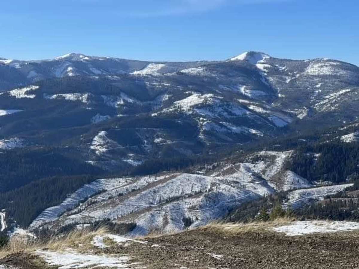
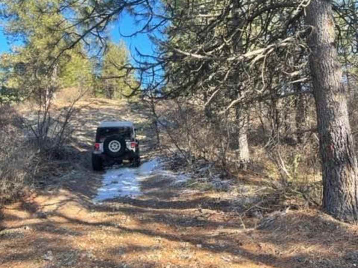
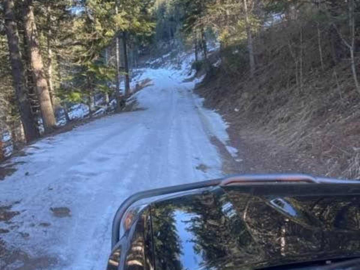
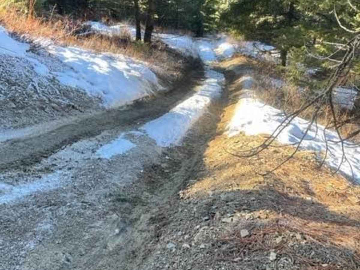
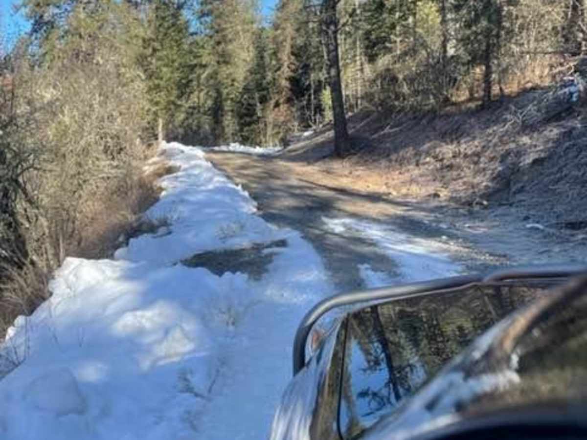
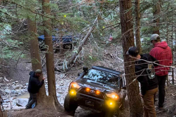
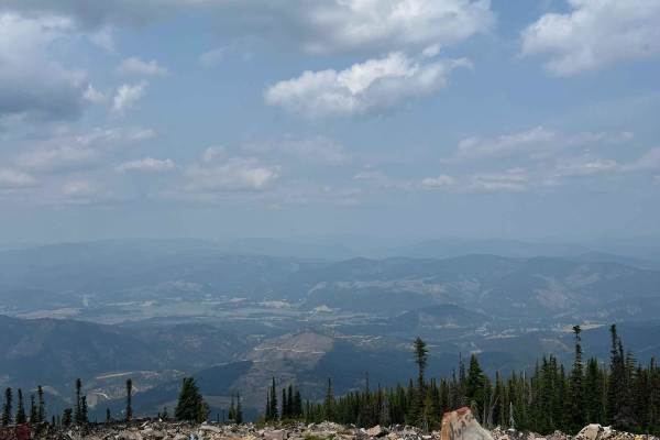
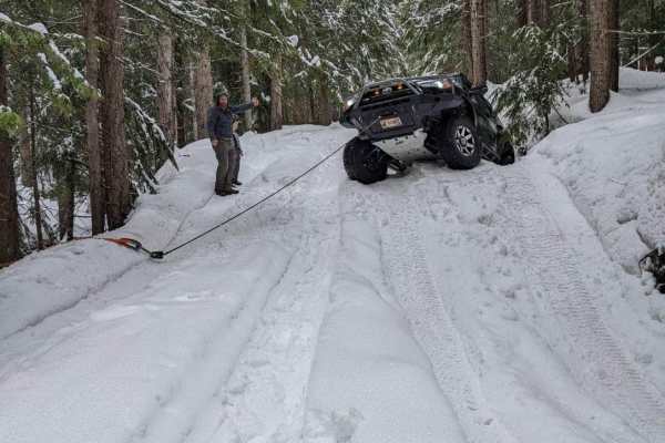
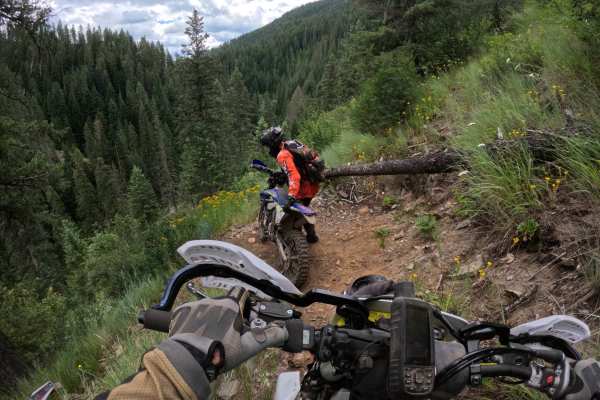
This trail is just outside Pinehurst. Coming down the little road next to a very beautiful creek. Then you turn left to go up the trail. It's an easy forest service road. But you can take this awesome bypass that goes straight up the mountain. On a tight little trail through the pine trees and reconnects back to the main trail. If there is snow or ice you will definitely need momentum to get up this hill. After that, you are back on the main forest road for a little while. Then a hard left up this steep grade. Don't worry it's super grippy rock to the top of the mountain.

Photos of Pine Point

Difficulty

The rating is due to the bypass and the steep grade.

Technical Rating

3

Status Reports

Add Status Report
Reid Allen
Jan 17, 2026
Open
Little snow up top, but overall a pleasant drive. One set of rock stairs to get up at the final ridge. Made it with minor tire spin. Bypass closed/blocked by very large blowdown.
Connor Conway
Dec 03, 2025
Open
Snow and ice all the way up
Cherokee Atreau
Apr 16, 2024
Open

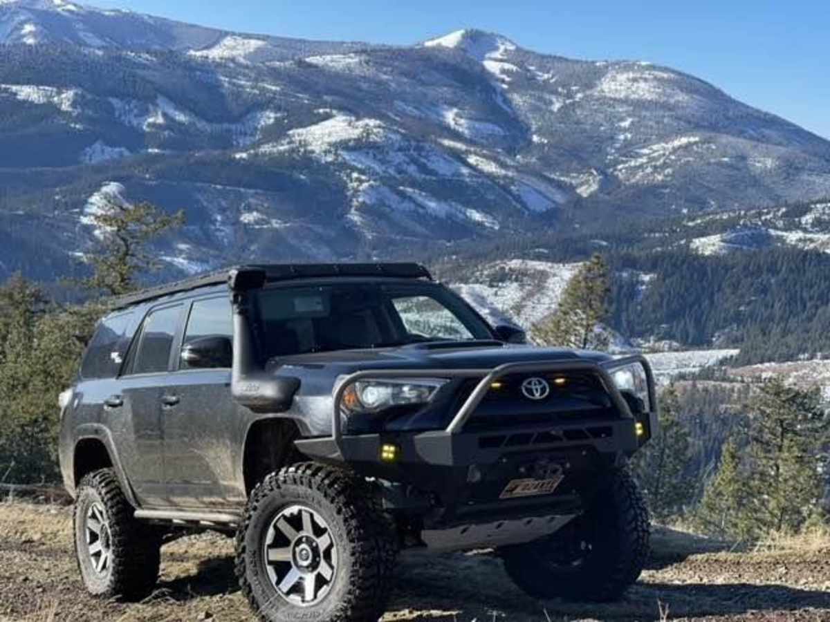
Pine Point Trail can be accessed by the following ride types:

  • Single Track
  • 50 Inch
  • 60 Inch
  • High Clearance
  • Full Width

Pine Point Map

The onX Offroad Difference

onX Offroad combines trail photos, descriptions, difficulty ratings, width restrictions, seasonality, and more in a user-friendly interface. Available on all devices, with offline access and full compatibility with CarPlay and Android Auto. Discover what you're missing today!

Open Trail Map