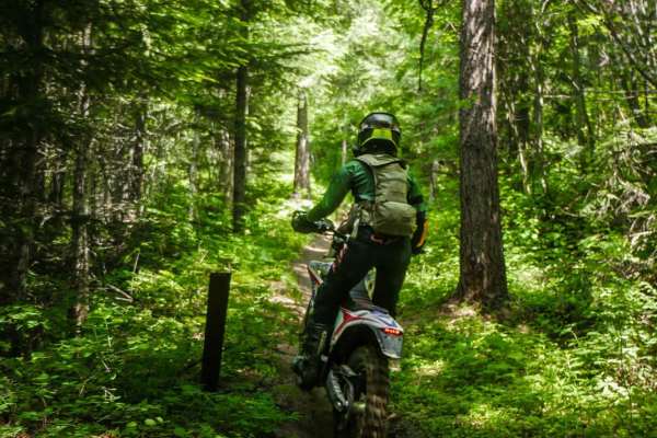
Trail Overview
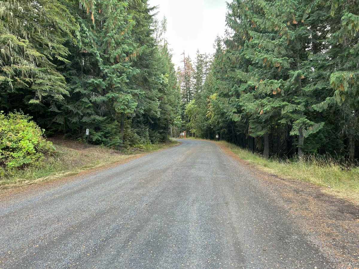
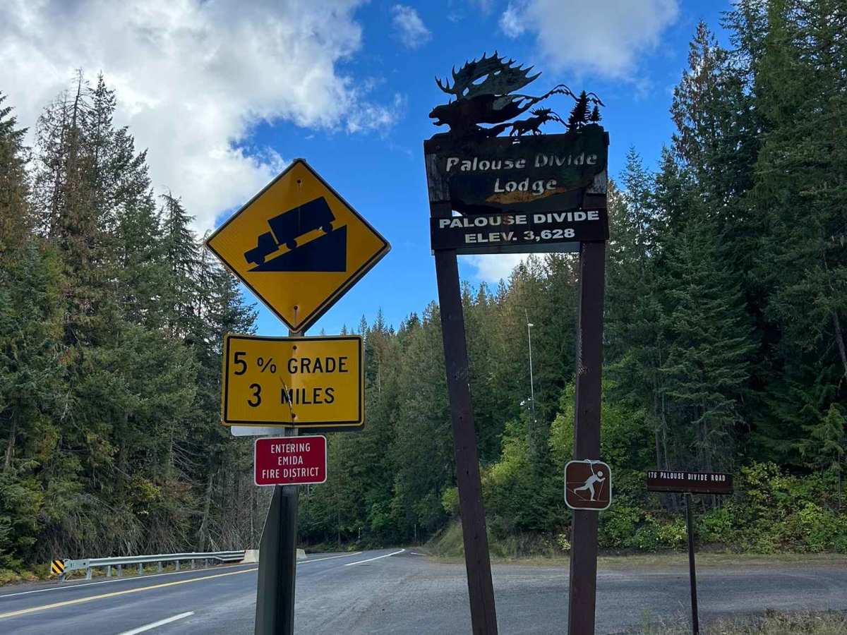
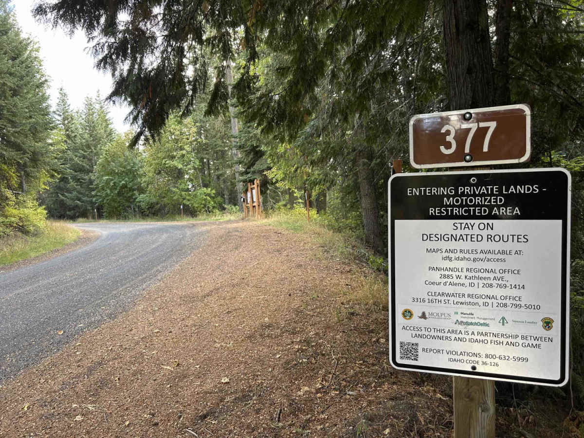
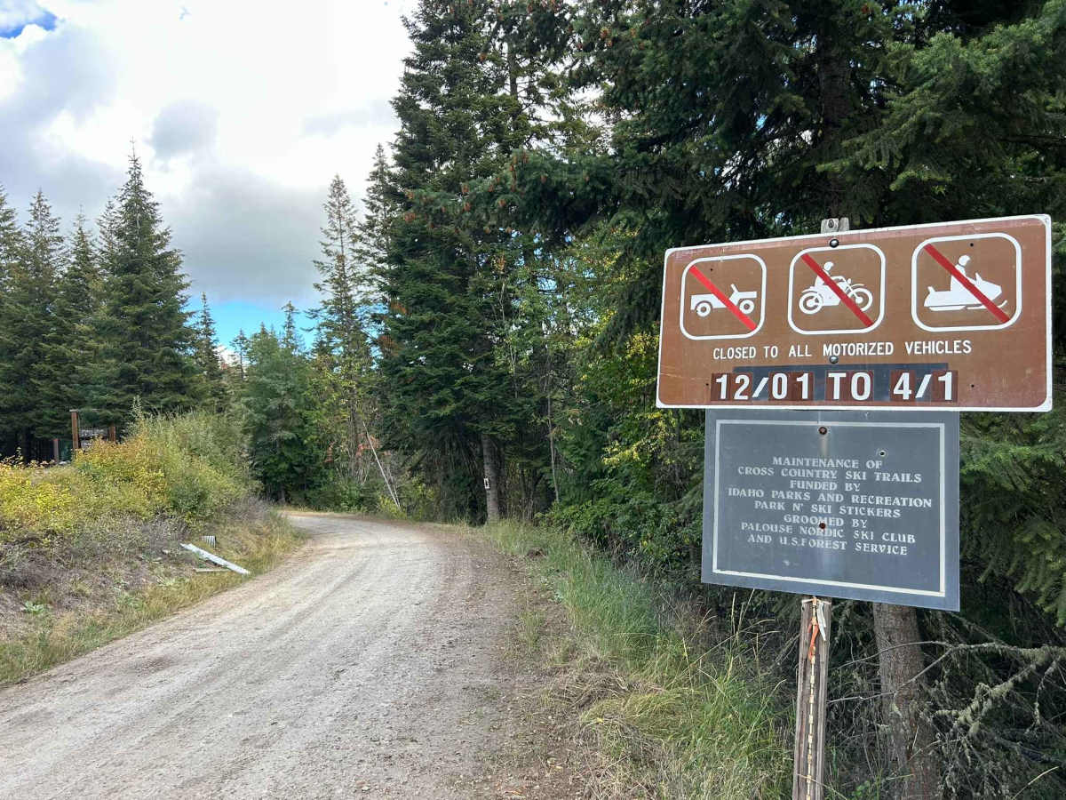
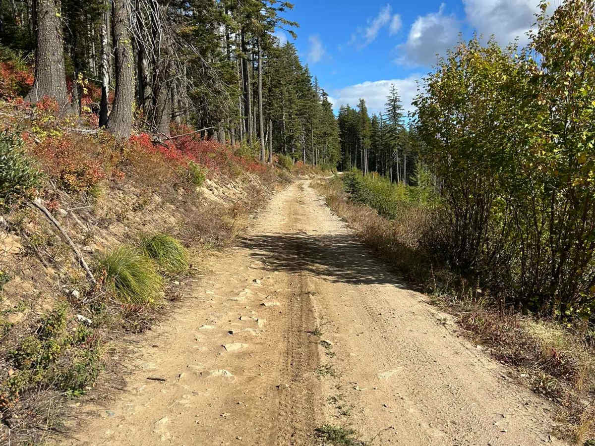
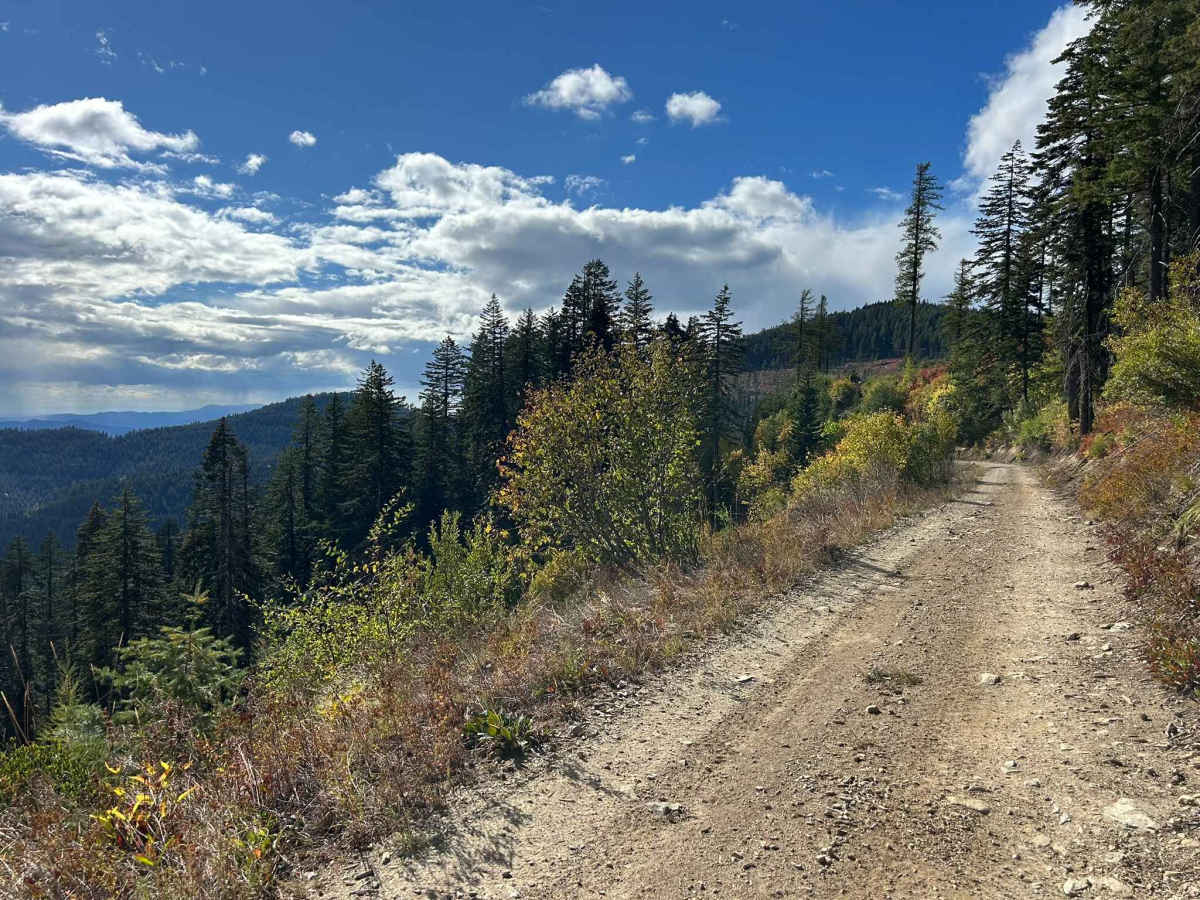
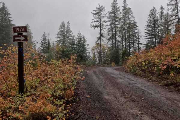
Palouse Divide West is a 15.3-mile point-to-point trail that, beginning from the west, starts at the terminus of Big Creek Road. The trail descends the northwest side of Prospect Peak, continuing through a valley along Meadow Creek for several miles before making a sharp left turn as shown in Picture 2. After this turn, the route climbs out of the valley toward West Dennis. Between miles 9.0 and 9.3, the trail passes through private property with boundaries clearly marked on-site and viewable on OnX's private property layer. Beginning at this private property section and continuing for several miles, the road surface is heavily rutted and damaged from logging equipment. As of October 2025, active logging operations are present along portions of the trail. Beyond the active logging area, the road surface transitions to wide, well-maintained gravel, continuing in this condition until it terminates at an intersection with ID6. The section from mile 9.5 to the eastern terminus is subject to a seasonal closure, open from April 1st through December 1st.
Difficulty
Palouse Divide East is a wide gravel road from ID6 to mile 8. After this point, the road has embedded rock for several miles, then sections of deep ruts until mile 21. As with any trail in North Idaho, the conditions can vary significantly with snowfall, and always bring a chainsaw or equipment to move fallen trees.