Trail Overview
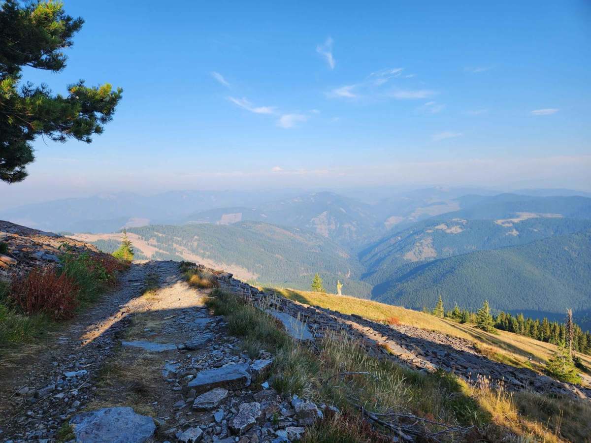
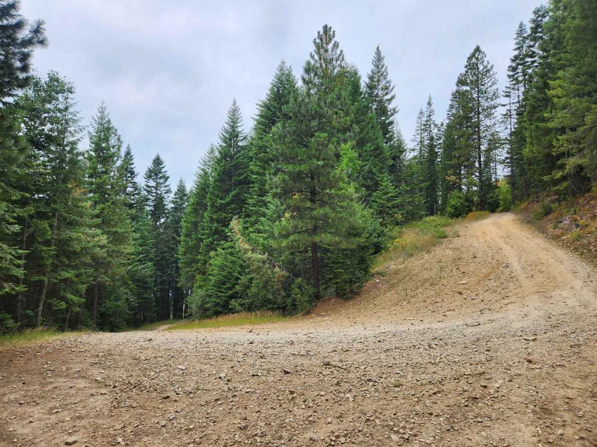
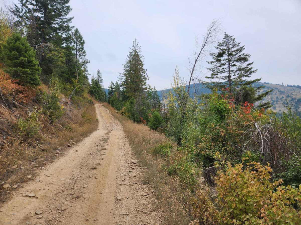
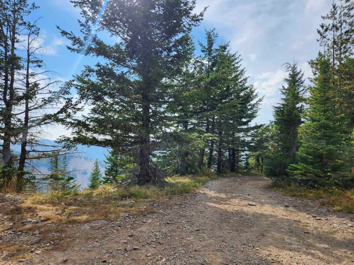
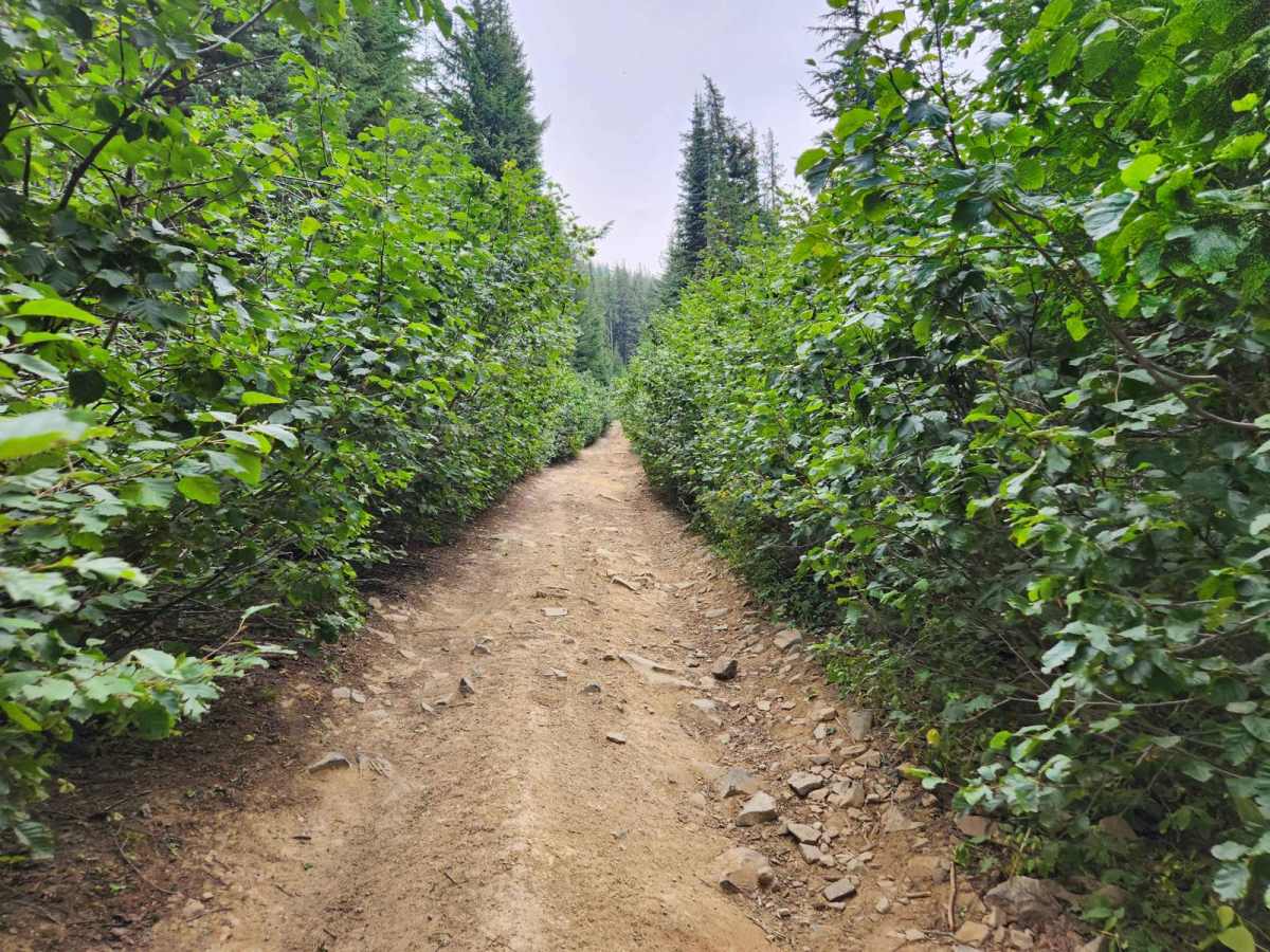
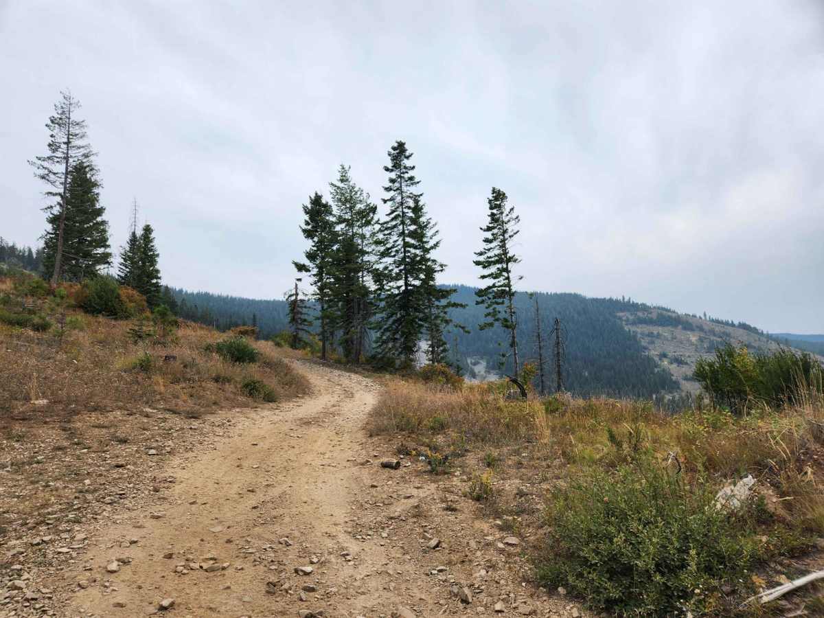
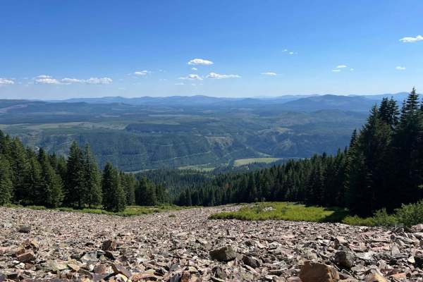
Twin Crags Road is a moderate gravel and rock road in the St. Joe Mountains south of Cataldo, Idaho. This route is primarily on BLM and IDL land, with sections that are owned by various logging companies. This is the highest point you can drive to in Kootenai County. The road becomes overgrown for a couple of miles and cannot accommodate full-size vehicles. There are no bathrooms or water, a few campsites, and minimal roadway signs. At the 8.6-mile mark, there is an offshoot road south for 340 yards which has a campsite and a "motorcycle only" ridgeline trail that heads south along the St. Joe divide. On the north side of this junction is the route to the top of Latour Peak, which has been permanently closed to motorized use. At the 9.4-mile mark, there is a barrier route that heads west toward the middle fork of Pine Creek. ATVs have regularly crossed the barrier. The Palisade mine is 600 feet down this route, turn right down a trail and proceed another 350 feet, the mine is in the trees- look for water exiting the mine. There is a hiking trail at the 9.5-mile mark switchback down to Mirror Lake. The ascent from there to the summit is rocky and steep, and there is room at the top to turn around, though only room to park two vehicles. There are remnants of the Twin Crags lookout tower at the top, as well as views of Mirror Lake, Latour Peak, and wide panoramic views. There are Deer, Elk, Bear, Grouse, and occasionally Wolves in the vicinity.
Difficulty
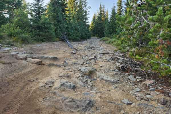
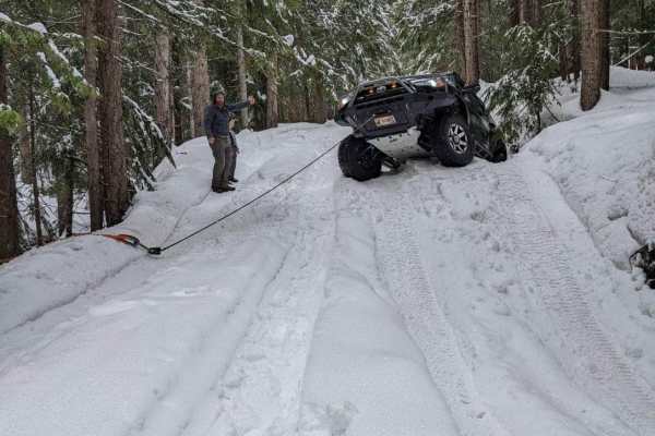
The top of the route is narrow, rocky, and up to a 15% grade. Large rock obstacles require additional clearance and four-wheel drive. There is loose shale and sandy areas on a steep, off-camber shelf road.


 Offroad