
Dirt Bike Trails
Near Roanoke, Alabama
Explore All Dirt Bike Trails Near Roanoke, Alabama
Dirt Bike Trails Near Roanoke, Alabama
Discover the best dirt bike trails near you. Browse trail maps, check difficulty ratings, and find your next adventure — whether you're looking for a quick ride or an all-day expedition.
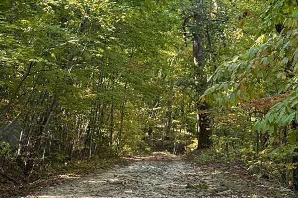
FS600-2
Beginning at the northeast end of FS600-2 and traveling southwest, this service road is packed with dirt filled with irregular rocks, making for a rough ride if not airing down. The first couple of miles are similar before reaching the first of the washouts. Washouts are 1 to 3 feet deep and are avo...
Learn more about FS600-2

Duck Nest Motorway - FS 651
Good mix of gravel and dirt. There are several beautiful creeks to pass over with one-lane bridges along the route. A few mud holes are possible if it is wet. Some washboarding on the road towards the north side of the road. The dispersed camping labeled on OnX is not a great campsite, but it could ...
Learn more about Duck Nest Motorway - FS 651
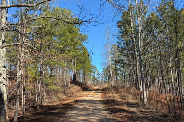
FS 637 K/M
This trail starts as a gravel road and quickly transitions to dirt, winding through pine trees and crossing several mud holes. There are a couple of rutted sections that can become slick when wet. The route ends at an old cemetery with graves dating back to the late 1800s and early 1900s.
Learn more about FS 637 K/M
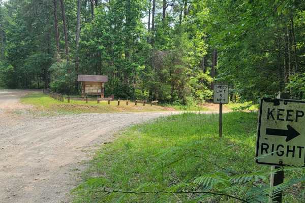
USFSR #643C Kentuck OHV Trailhead
USFSR #643C Kentuck OHV Trailhead is a short, 0.6-mile dirt connector trail in the Talladega National Forest designed for ATVs, dirt bikes, and mountain bikes seeking direct access to the popular Kentuck OHV trail system. This easy route features minimal elevation changes, ranging from 846 feet to 8...
Learn more about USFSR #643C Kentuck OHV Trailhead
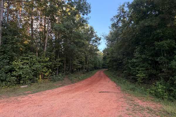
Turkey Trail
Turkey Trail is a dirt and red-clay backroad winding through the wooded countryside near Reeltown, Alabama. The route features rolling terrain, occasional ruts, small muddy sections, and a mix of hard-packed clay and gravel. Conditions are generally suitable for most vehicles when dry, although the ...
Learn more about Turkey Trail
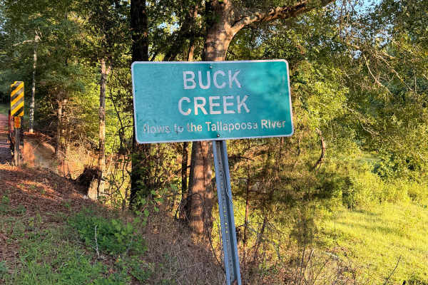
Buck Creek Road
Buck Creek Road is a short, easy backroad near Reeltown that travels through a quiet wooded area on a mix of red clay, dirt, and gravel. The route features rolling hills, minor erosion and ruts, and a single-lane wooden bridge crossing Buck Creek. Dispersed camping is available along the route, maki...
Learn more about Buck Creek Road
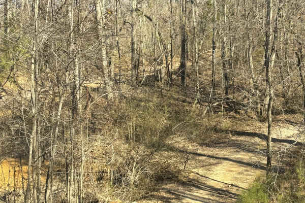
Creek Trail Bypass
Creek Trail Bypass was a short bypass route along the creek trail that got you around some of the more difficult mud holes. There were no rock obstacles, but there were some steep grades with the potential for loose rocks. This trail was wide enough for at least 2 full-size vehicles.
Learn more about Creek Trail Bypass
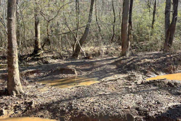
50
Trail 50 was all mud holes and a big loop around to Trail 48. There were a lot of mud holes to try varying in difficulty and depth. There are some really deep mudholes that could potentially break machines or have to be winched out. This was also very close quarters with a lot of trees surrounding a...
Learn more about 50
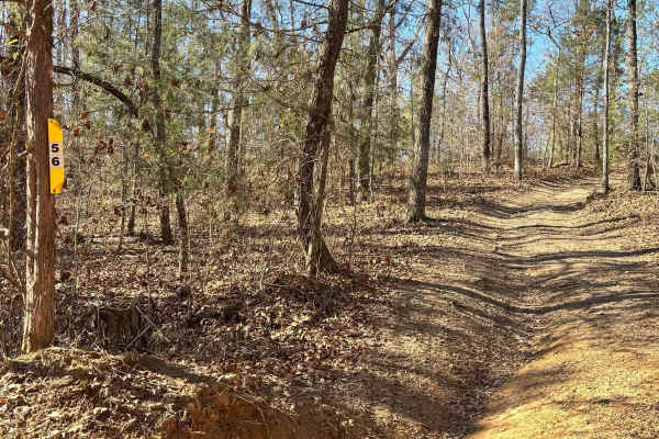
56
Trail 56 connects to Trail 48 on both ends. Half of the trail is rock obstacles with steep grades and rutted washed-out areas. The other half of the trail has some mud obstacles that aren't very deep but could be more difficult during a wet season or after rain.
Learn more about 56
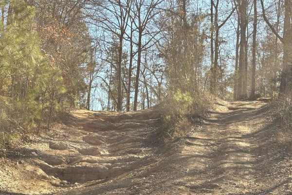
Creek Trail
Creek Trail starts out at the big creek that runs to the park. You can go down into a big cut-out area with some mud climb areas, or stay up on the main road to go around it. This trail has all mud obstacles and some of the holes are more difficult than the others. It does have one area with a rock ...
Learn more about Creek Trail
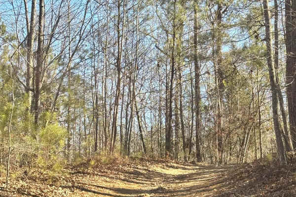
45A
Trail 45A is a connector trail from Trail 44 to Trail 45. It is just another entrance to Trail 45 off of Trail 48. It is well maintained. No difficulty and no obstacles were found along this trail. This is a dirt trail that may have some wet areas after a rain.
Learn more about 45A
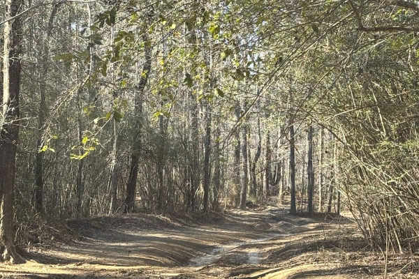
48
Trail 48 is a muddy trail with a lot of mud holes along its route. There are also some small inclines and declines along the way. No super rough rock obstacles, mostly all mud obstacles with by-pass areas that are easier for the really deep mud holes. This path is all dirt and has several trails tha...
Learn more about 48
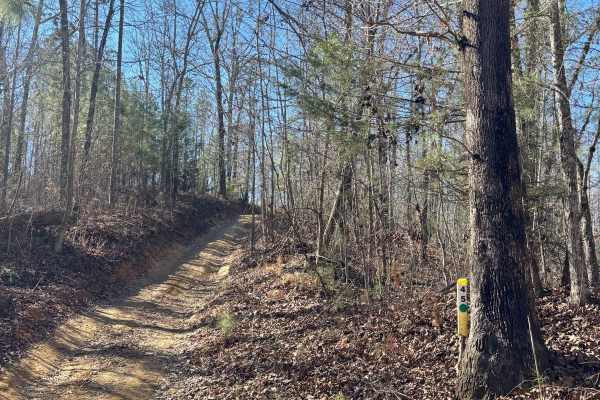
45
Trail 45 was a moderately easy trail with no major rock or mud obstacles. A few loose rocks along the route and a few small mud holes that were easily drivable. It connects Trail 48 to Trail 47. This trail was relatively short with a couple of trails that branched off.
Learn more about 45
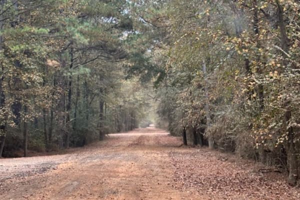
20
This is a main road that connects all of the main grid from the south end of the park at the main entrance side. This connects both sides of Trail 18. It is a smooth road that is part gravel and part dirt. This is the route you take when driving to a bunker or parking lot. The speed limit is 15 and ...
Learn more about 20
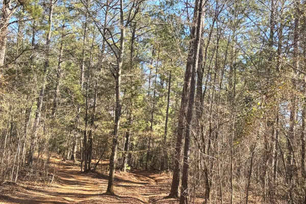
49
Trail 49 is a muddy trail with a lot of mud holes along its route. The trail weaves through the woods and is connected to trail 48 on both sides. This trail has a couple ruts that aren't very deep, and some of the mud holes can be very difficult especially in the wet season.
Learn more about 49
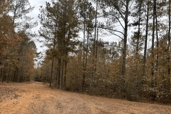
17
This is a short trail in the main grid with two rental bunkers located on it. It connects Trail 20, up a little into Trail 16. The trail also continues to an old exit to the base when it was active. It is closed off now and overgrown, but it does have several mud hole obstacles located on it.
Learn more about 17

15
This main road houses several rental camp spots and rented bunkers along its path. It connects the front of the park, trail 20, to the back of the grid, trail 18. It also intersects with Trail 19 at around the midway point.
Learn more about 15
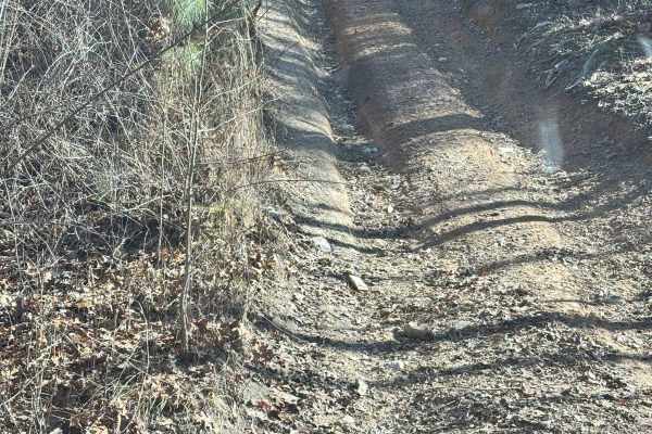
56A
Trail 56A is located off of Trail 56. It is all uphill or downhill, depending on the direction you enter from. The steep grade is what gives this trail a higher rating, but there were no large rock obstacles or mud obstacles located along this route. The trail was only wide enough for one vehicle at...
Learn more about 56A
47
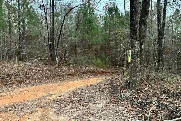
Trail 47 was a very easy connector trail from the outside of the grid, trail 18, to Trail 46 and Trail 45. This takes you to the muddy side of the park. This trail had no mud obstacles or rock obstacles. This was all dirt road and very easy to complete.
Learn more about 47
18A
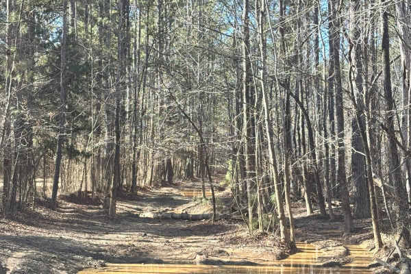
Trail 18 was an extremely muddy trail that rides on the opposite side of the fence along Trail 18 for a short way that connects Trail 47 to Trail 11. The mud holes along this trail are extremely deep. There are a couple of areas to go around one or two of them, but they are not wide enough for a ful...
Learn more about 18A
ATV trails near Roanoke, Alabama
Explore ATV-friendly trails near you. These trails are accessible for vehicles up to 50 inches wide, perfect for ATVs and smaller off-road machines.
FS600-2
Beginning at the northeast end of FS600-2 and traveling southwest, this service road is packed with dirt filled with irregular rocks, making for a rough ride if not airing down. The first couple of miles are similar before reaching the first of the washouts. Washouts are 1 to 3 feet deep and are avo...
Learn more about FS600-2
USFSR #643C Kentuck OHV Trailhead
USFSR #643C Kentuck OHV Trailhead is a short, 0.6-mile dirt connector trail in the Talladega National Forest designed for ATVs, dirt bikes, and mountain bikes seeking direct access to the popular Kentuck OHV trail system. This easy route features minimal elevation changes, ranging from 846 feet to 8...
Learn more about USFSR #643C Kentuck OHV Trailhead
Turkey Trail
Turkey Trail is a dirt and red-clay backroad winding through the wooded countryside near Reeltown, Alabama. The route features rolling terrain, occasional ruts, small muddy sections, and a mix of hard-packed clay and gravel. Conditions are generally suitable for most vehicles when dry, although the ...
Learn more about Turkey Trail
Buck Creek Road
Buck Creek Road is a short, easy backroad near Reeltown that travels through a quiet wooded area on a mix of red clay, dirt, and gravel. The route features rolling hills, minor erosion and ruts, and a single-lane wooden bridge crossing Buck Creek. Dispersed camping is available along the route, maki...
Learn more about Buck Creek Road
UTV/side-by-side trails near Roanoke, Alabama
Find UTV and side-by-side trails near you. These trails accommodate vehicles up to 60 inches wide, ideal for UTVs, side-by-sides, and wider off-road rigs.
FS600-2
Beginning at the northeast end of FS600-2 and traveling southwest, this service road is packed with dirt filled with irregular rocks, making for a rough ride if not airing down. The first couple of miles are similar before reaching the first of the washouts. Washouts are 1 to 3 feet deep and are avo...
Learn more about FS600-2
Turkey Trail
Turkey Trail is a dirt and red-clay backroad winding through the wooded countryside near Reeltown, Alabama. The route features rolling terrain, occasional ruts, small muddy sections, and a mix of hard-packed clay and gravel. Conditions are generally suitable for most vehicles when dry, although the ...
Learn more about Turkey Trail
Buck Creek Road
Buck Creek Road is a short, easy backroad near Reeltown that travels through a quiet wooded area on a mix of red clay, dirt, and gravel. The route features rolling hills, minor erosion and ruts, and a single-lane wooden bridge crossing Buck Creek. Dispersed camping is available along the route, maki...
Learn more about Buck Creek Road
Creek Trail Bypass
Creek Trail Bypass was a short bypass route along the creek trail that got you around some of the more difficult mud holes. There were no rock obstacles, but there were some steep grades with the potential for loose rocks. This trail was wide enough for at least 2 full-size vehicles.
Learn more about Creek Trail Bypass
The onX Offroad Difference
onX Offroad combines trail photos, descriptions, difficulty ratings, width restrictions, seasonality, and more in a user-friendly interface. Available on all devices, with offline access and full compatibility with CarPlay and Android Auto. Discover what you're missing today!
Open Trail Map