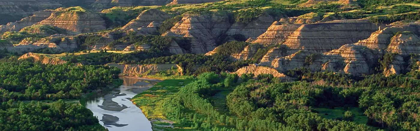
Dirt Bike Trails
Near Ponemah, Minnesota
Explore All Dirt Bike Trails Near Ponemah, Minnesota
Dirt Bike Trails Near Ponemah, Minnesota
Discover the best dirt bike trails near you. Browse trail maps, check difficulty ratings, and find your next adventure — whether you're looking for a quick ride or an all-day expedition.
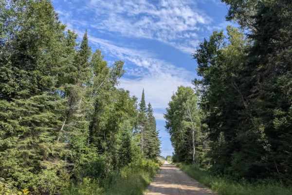
Faunce Forest Road
This long, arrow-straight trail is a well-maintained gravel route that is generally two vehicles wide. It passes through a mix of forest and open clearings, with sections that contain potholes and occasional puddles. A rustic campsite is located along the route, offering basic facilities such as tab...
Learn more about Faunce Forest Road
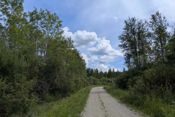
Pitt Grade Forest Trail
This 17-mile-long trail is mostly a smooth two-track route, single-vehicle wide, with some potholes scattered along its length. It winds through a mix of forest and scrub, offering a scenic drive and crossing at least one creek along the way. In certain areas, water lies beside the trail, so caution...
Learn more about Pitt Grade Forest Trail
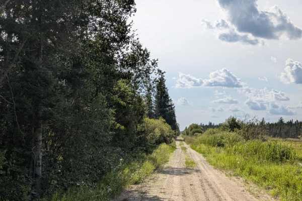
Rapid River Road
This is a very long, unmaintained two-track trail that should be traveled at your own risk. For much of its length, it runs smoothly through forested terrain, offering a generally scenic route. This trail also runs alongside the Beltrami Wildlife Management Area, so beware of wildlife crossing the t...
Learn more about Rapid River Road
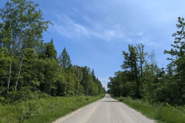
141
This trail is long, wide, and made up of dusty but well-maintained gravel. It runs mostly straight, though there are some winding sections, particularly toward the lower portion. The southern section is popular with ATV riders as it passes through a mix of open fields, forested areas, and scattered ...
Learn more about 141
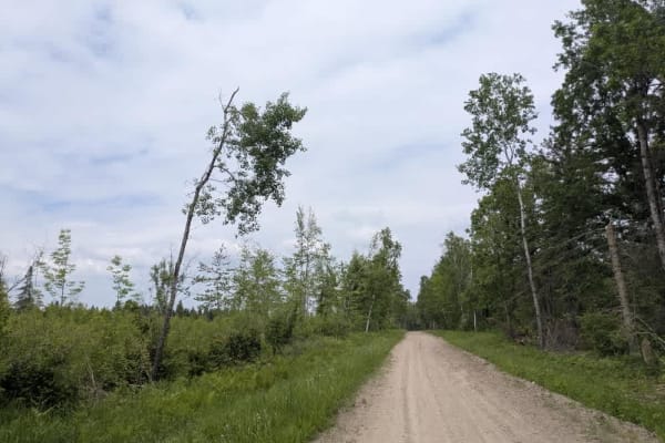
2415
This trail is a designated OHV route, consisting primarily of well-maintained gravel, although some sections are bumpy. It winds through the landscape with a few gentle climbs and descents, and several smaller trails branch off from the main route. One of these side trails provides access to the lak...
Learn more about 2415

31
This long gravel trail is generally well maintained, though it varies in width and includes a few bends as it winds past Spruce Lake. The surrounding area includes farms and homesteads, so watching for local traffic along the way is essential. The route also provides access to Island Lake and Moose ...
Learn more about 31
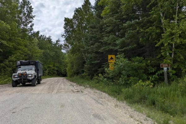
2229
This trail is a narrow, designated OHV route maintained by the local ASL ATV Club. It includes sandy, bumpy, and corrugated stretches and crosses a wetland area via a bridge, where turtles are often seen on or near the trail. Keep an eye out for fallen trees. A few spur trails branch off the main ro...
Learn more about 2229
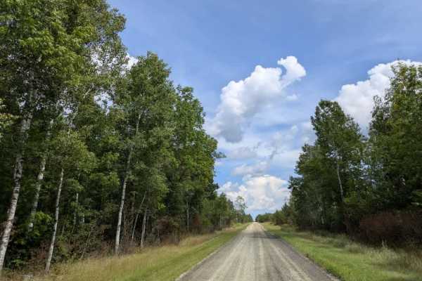
County Road 146
This wide, well-maintained gravel trail has a sandy surface in places and can be slippery. It winds through the forest in a series of zigzags, with several sharp 90-degree turns that require attentive driving. The route passes a mix of residential areas and farmland, so local traffic is possible, an...
Learn more about County Road 146
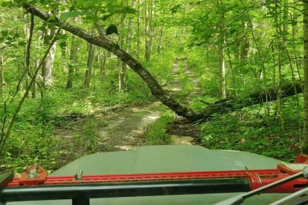
West Turtle Lake Loop Trail
The West Turtle Lake Loop Trail (Trail #2513) offers a challenging, highly overgrown forest adventure for experienced offroaders seeking a remote and technical route in the northwest quadrant of Chippewa National Forest. This tight 4.7-mile loop features a narrow, single-lane dirt track that winds t...
Learn more about West Turtle Lake Loop Trail

Santa Anna Forest Road
This relatively short but fun trail is a well-maintained gravel road that passes through the Beltrami Island State Forest and the Beltrami Island Wildlife Management Area. It passes a wetland, but the road remains in good condition without any deviation. Beware of other adventurers on this route, as...
Learn more about Santa Anna Forest Road

Stoney Corners Trail
This trail is a long, mostly smooth route that is generally two-track and single-vehicle wide. It passes through areas of scrub and scenic forest, with a reservation running alongside much of its length. Several side trails branch from the main route, many of them overgrown and less frequently used....
Learn more about Stoney Corners Trail

156
This trail consists of well-maintained gravel and follows a mostly straight path through forested areas. In places where the trail curves, the surface becomes noticeably bumpier and more corrugated. It passes by several homesteads and tends to be dusty, especially in dry weather. Local traffic is co...
Learn more about 156
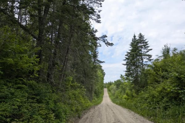
3330
This relatively narrow trail is part of the Corridor Access Trail Route and is maintained by the ASL ATV Club. It winds through dense forest, featuring several gentle climbs and descents, and crosses wetlands and a few small bridges along the way. Western Painted turtles are sometimes spotted near t...
Learn more about 3330
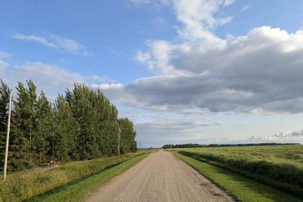
Dylan Road NW
This long and scenic road is part of the Fourtown Grygla Trail and features a well-maintained, smooth gravel surface. The width varies, with some sections accommodating two vehicles and others narrowing to single-vehicle passage. The route passes by working farms, scenic farmhouses, and stretches of...
Learn more about Dylan Road NW
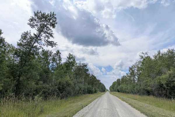
47th Street SW
This scenic trail, also known as Forest Lake Road, is a wide, well-maintained gravel surface that allows for two-way traffic. While generally smooth, the gravel can be thick and loose in certain sections, creating potentially slippery conditions that warrant slower driving. The trail tends to be dry...
Learn more about 47th Street SW
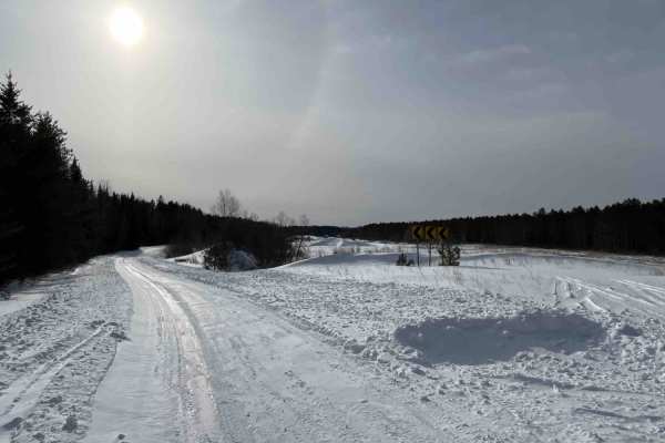
Hogsback-O'Brien Forest Road
Hogsback-O'Brien Trail is an old forest road dating back to the early homesteads and CCC camp in the area. It's an easy trail to drive with mostly flat terrain, but lots of windy turns through the forests and peat lands with good scenic views. From the east end, the trail is clearly marked with a Fo...
Learn more about Hogsback-O'Brien Forest Road

32
This trail is mostly straight and composed of well-maintained gravel, offering an easy and pleasant ride. It passes several neatly kept homesteads, which are common in this area, and also runs alongside a small cemetery. A few smaller trails branch off from the main route, providing limited opportun...
Learn more about 32
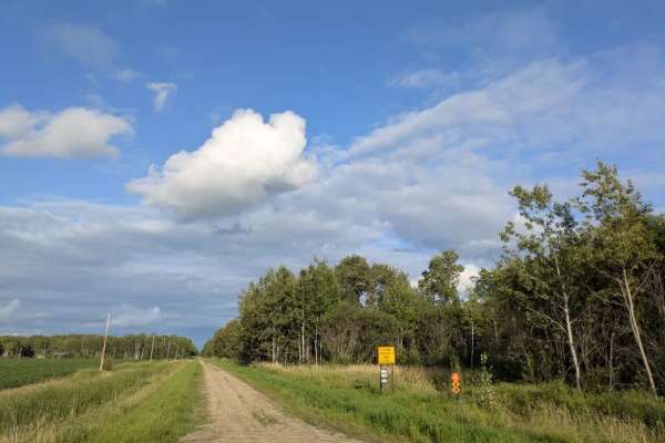
Wildlife Road NW
The surface is well-maintained gravel, though drivers should watch for slippery patches, deer crossing the road, and local traffic. The route passes a farmhouse and stretches of open fields while running parallel to a Wildlife Management Area. Along the way, a rustic two-track trail branches off, ma...
Learn more about Wildlife Road NW

Airport Road
A short trail through the woods that goes around the west end of the Norris landing strip. The edges of the landing strip are marked by yellow barriers at the east and west ends, and along the middle. The north end of the trail is next to the historic Norris CCC camp, dating back to the 1930s.
Learn more about Airport Road
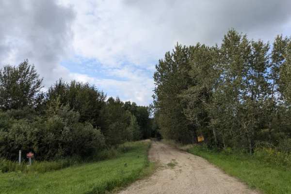
Morel Road NW
This trail runs mostly straight and intersects with Moose River Road. One end of the trail begins in forested terrain with a well-maintained gravel surface that can become muddy in wet conditions. The route eventually leads to private property, so access beyond that point is not permitted. After the...
Learn more about Morel Road NW
ATV trails near Ponemah, Minnesota
Explore ATV-friendly trails near you. These trails are accessible for vehicles up to 50 inches wide, perfect for ATVs and smaller off-road machines.
Faunce Forest Road
This long, arrow-straight trail is a well-maintained gravel route that is generally two vehicles wide. It passes through a mix of forest and open clearings, with sections that contain potholes and occasional puddles. A rustic campsite is located along the route, offering basic facilities such as tab...
Learn more about Faunce Forest Road
Pitt Grade Forest Trail
This 17-mile-long trail is mostly a smooth two-track route, single-vehicle wide, with some potholes scattered along its length. It winds through a mix of forest and scrub, offering a scenic drive and crossing at least one creek along the way. In certain areas, water lies beside the trail, so caution...
Learn more about Pitt Grade Forest Trail
Rapid River Road
This is a very long, unmaintained two-track trail that should be traveled at your own risk. For much of its length, it runs smoothly through forested terrain, offering a generally scenic route. This trail also runs alongside the Beltrami Wildlife Management Area, so beware of wildlife crossing the t...
Learn more about Rapid River Road
141
This trail is long, wide, and made up of dusty but well-maintained gravel. It runs mostly straight, though there are some winding sections, particularly toward the lower portion. The southern section is popular with ATV riders as it passes through a mix of open fields, forested areas, and scattered ...
Learn more about 141
UTV/side-by-side trails near Ponemah, Minnesota
Find UTV and side-by-side trails near you. These trails accommodate vehicles up to 60 inches wide, ideal for UTVs, side-by-sides, and wider off-road rigs.
Faunce Forest Road
This long, arrow-straight trail is a well-maintained gravel route that is generally two vehicles wide. It passes through a mix of forest and open clearings, with sections that contain potholes and occasional puddles. A rustic campsite is located along the route, offering basic facilities such as tab...
Learn more about Faunce Forest Road
Pitt Grade Forest Trail
This 17-mile-long trail is mostly a smooth two-track route, single-vehicle wide, with some potholes scattered along its length. It winds through a mix of forest and scrub, offering a scenic drive and crossing at least one creek along the way. In certain areas, water lies beside the trail, so caution...
Learn more about Pitt Grade Forest Trail
Rapid River Road
This is a very long, unmaintained two-track trail that should be traveled at your own risk. For much of its length, it runs smoothly through forested terrain, offering a generally scenic route. This trail also runs alongside the Beltrami Wildlife Management Area, so beware of wildlife crossing the t...
Learn more about Rapid River Road
141
This trail is long, wide, and made up of dusty but well-maintained gravel. It runs mostly straight, though there are some winding sections, particularly toward the lower portion. The southern section is popular with ATV riders as it passes through a mix of open fields, forested areas, and scattered ...
Learn more about 141
The onX Offroad Difference
onX Offroad combines trail photos, descriptions, difficulty ratings, width restrictions, seasonality, and more in a user-friendly interface. Available on all devices, with offline access and full compatibility with CarPlay and Android Auto. Discover what you're missing today!
Open Trail Map