Trail Overview
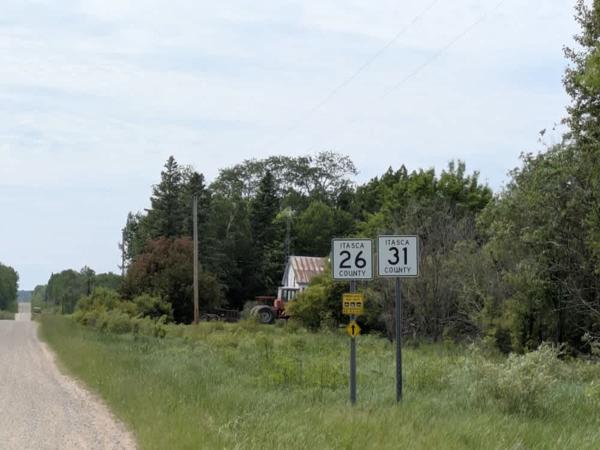
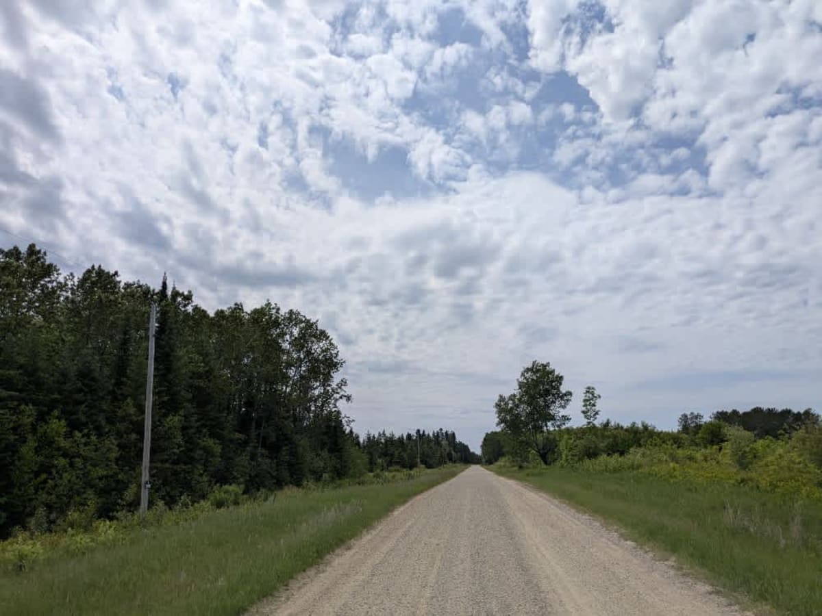
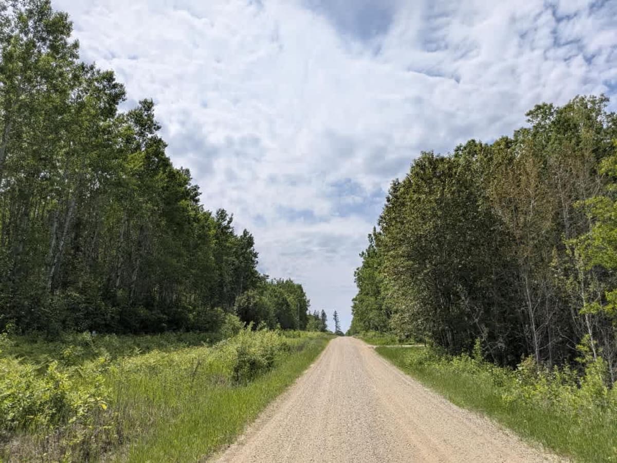
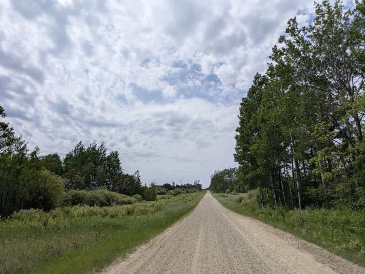
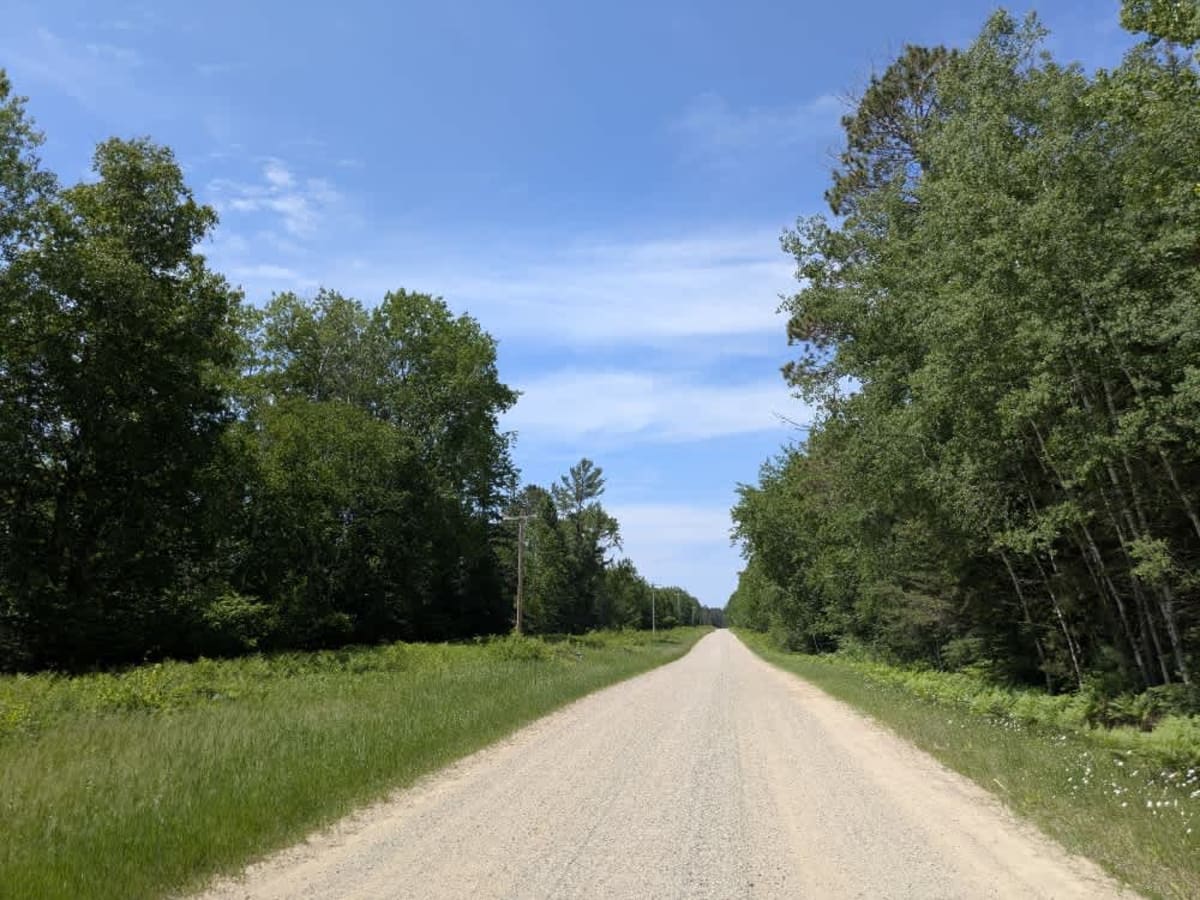
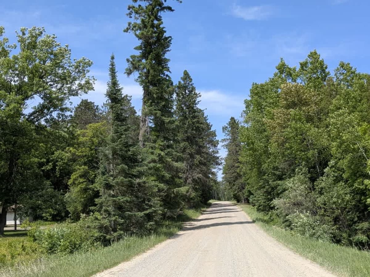
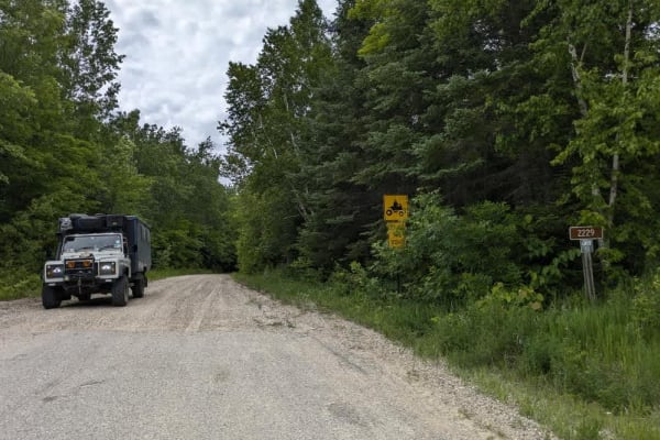
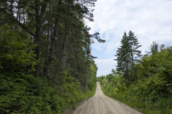
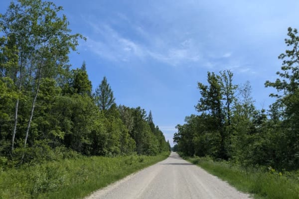
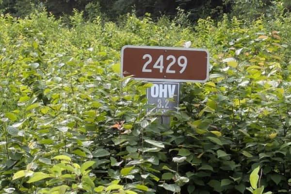
This long gravel trail is generally well maintained, though it varies in width and includes a few bends as it winds past Spruce Lake. The surrounding area includes farms and homesteads, so watching for local traffic along the way is essential. The route also provides access to Island Lake and Moose Lake, forming part of the Access ATV Corridor. While scenic, the trail offers no formal or dispersed camping options and lacks amenities like trash bins and potable water. Cell service may be limited in some areas.
History
Covering more than 1.6 million acres of glacial lakes, red-pine uplands, and sphagnum bogs, Minnesota's Chippewa National Forest lets motorists experience the North Woods at an unrushed pace. Paved state highways soon yield to a lattice of numbered forest roads, most of them well-graded gravel that thread between kettle ponds and stands of towering white pine, the tree that helped earn the forest its 1908 designation as one of America's first national forests. The forest harbors one of the highest breeding densities of bald eagles in the continental United States, and patient drivers often glimpse loons, black bears, and white-tailed deer as they move from shoreline to clear-cut regrowth and back again.