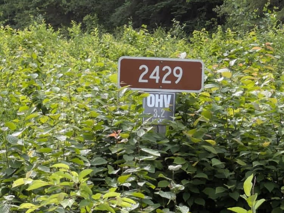
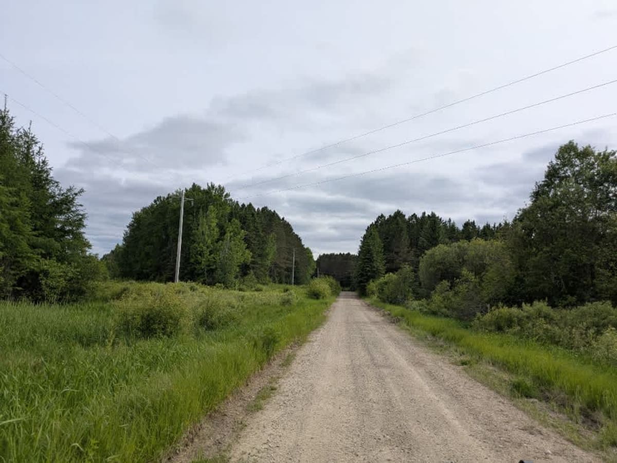
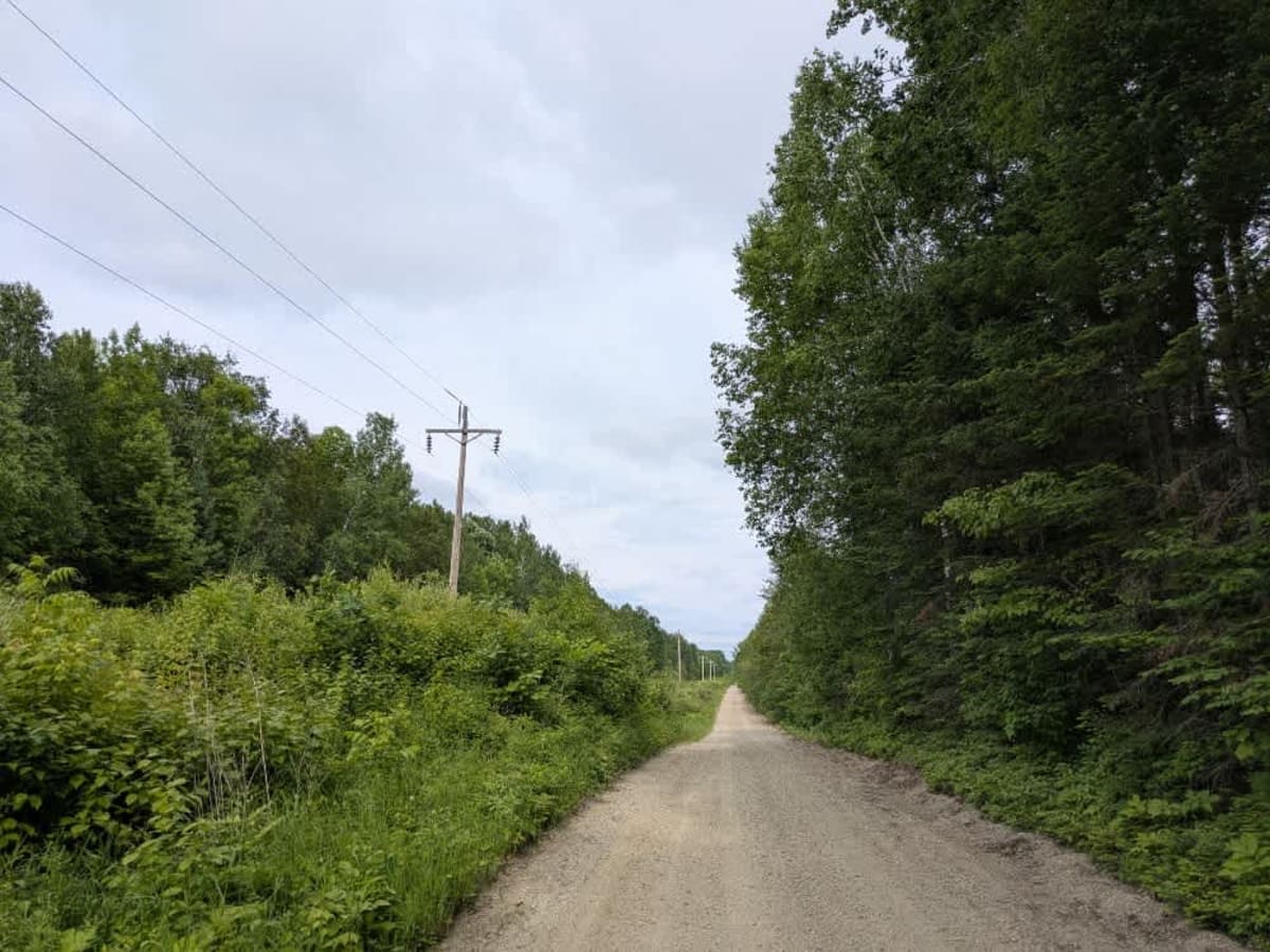
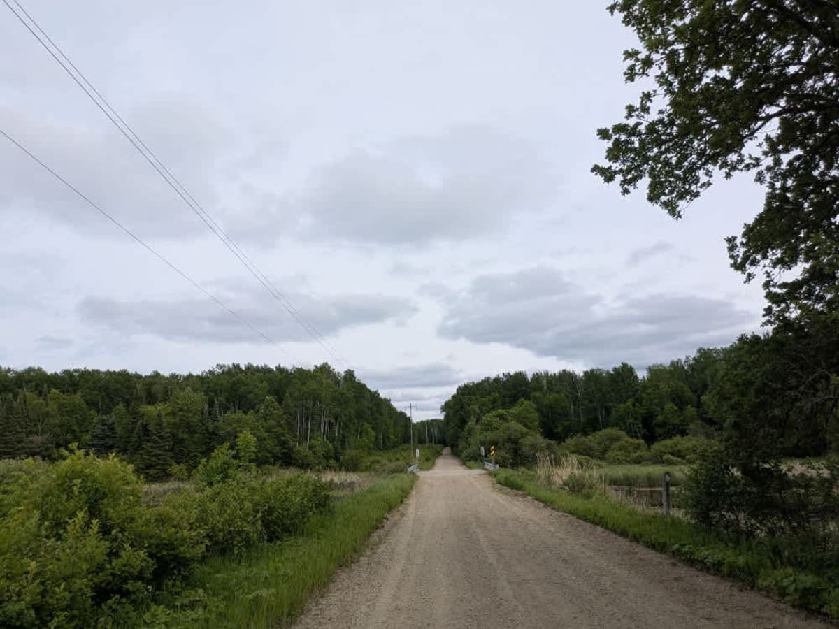
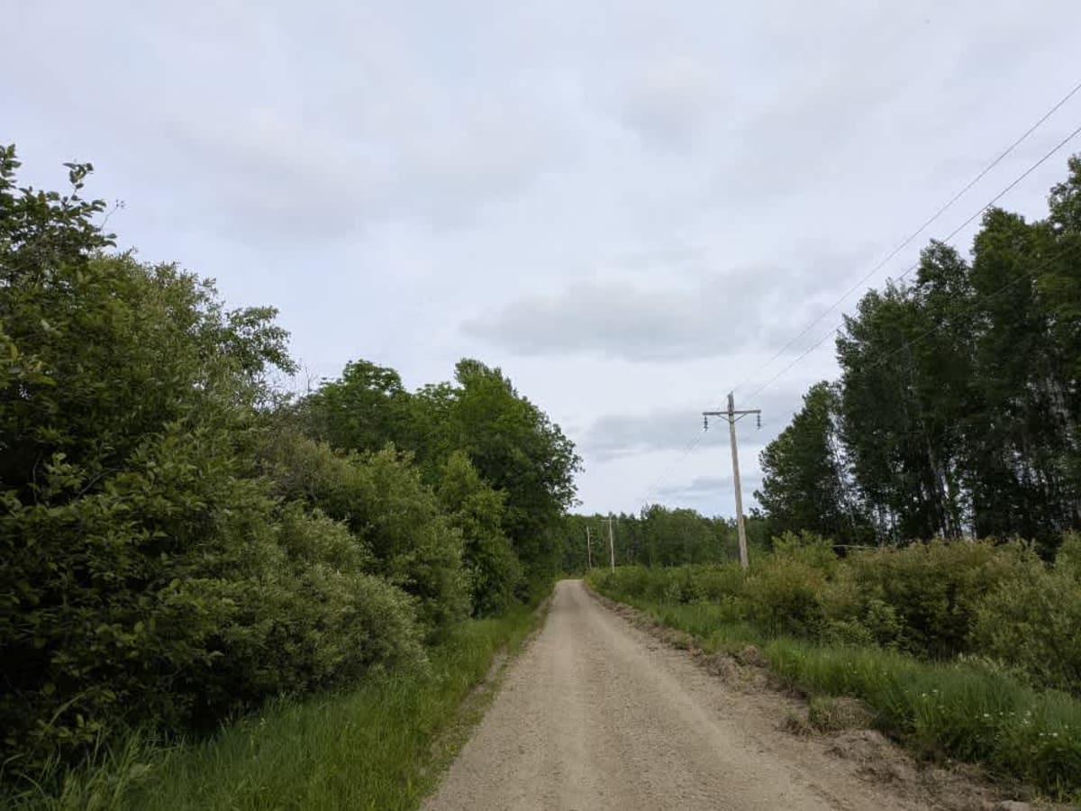
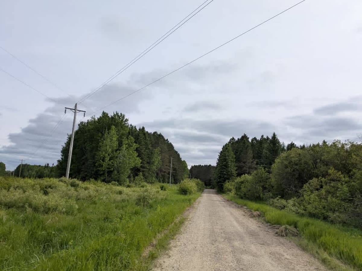
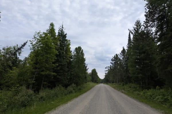
Trail Overview
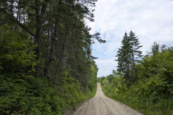
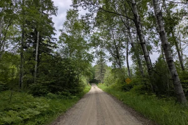
This trail is designated as "minimally maintained" and follows a relatively smooth, sandy track with some gentle curves and occasional bumps. It passes just one homestead near one end and includes a small bridge crossing. While generally easy to navigate, the trail may become more difficult when wet. There are no formal or dispersed campsites along the route, and visitors should know that there are no services such as trash disposal or potable water. Cell phone reception may be limited depending on location.
History
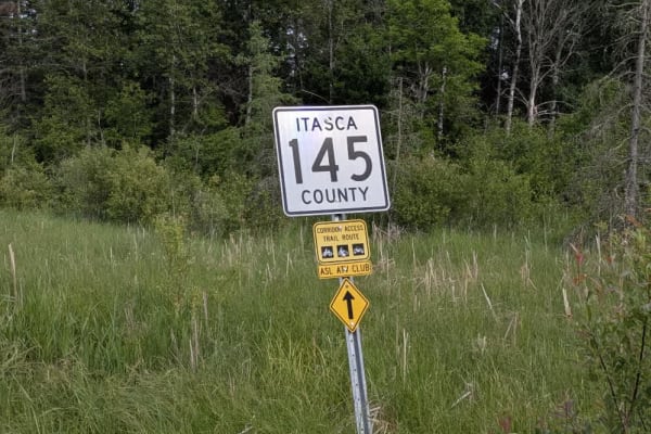
Covering more than 1.6 million acres of glacial lakes, red-pine uplands, and sphagnum bogs, Minnesota's Chippewa National Forest lets motorists experience the North Woods at an unrushed pace. Paved state highways soon yield to a lattice of numbered forest roads, most of them well-graded gravel that thread between kettle ponds and stands of towering white pine, the tree that helped earn the forest its 1908 designation as one of America's first national forests. The forest harbors one of the highest breeding densities of bald eagles in the continental United States, and patient drivers often glimpse loons, black bears, and white-tailed deer as they move from shoreline to clear-cut regrowth and back again.