
Dirt Bike Trails
Near Pinehurst, Idaho
Explore All Dirt Bike Trails Near Pinehurst, Idaho
Dirt Bike Trails Near Pinehurst, Idaho
Discover the best dirt bike trails near you. Browse trail maps, check difficulty ratings, and find your next adventure — whether you're looking for a quick ride or an all-day expedition.
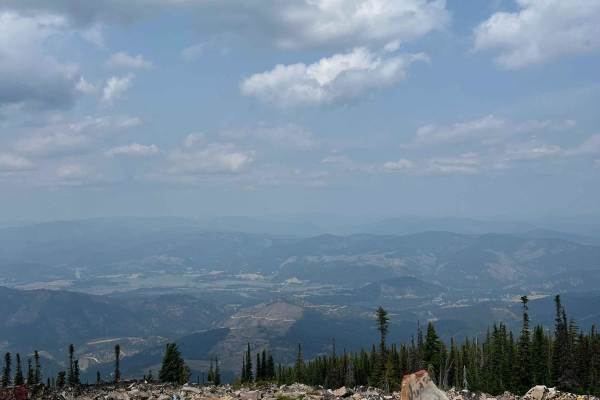
Frost Peak
This route gives you incredible views of Wardner Peak and valleys. It finishes at the top of Frost Peak, giving you views of the Silver Valley. Most of the trail is easy fire road but the lase mile to the top gets rough and rocky., but the last
Learn more about Frost Peak
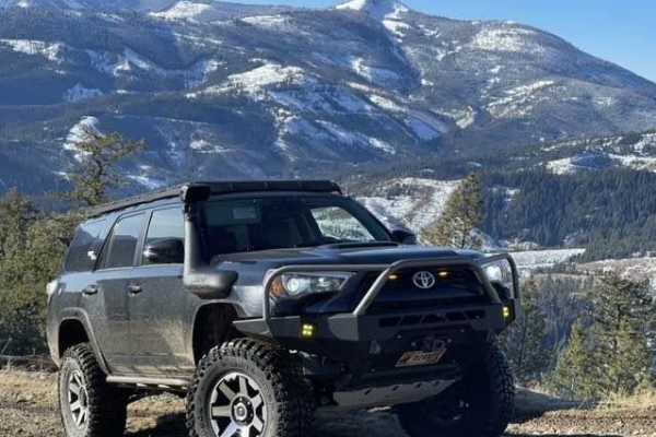
Pine Point
This trail is just outside Pinehurst. Coming down the little road next to a very beautiful creek. Then you turn left to go up the trail. It's an easy forest service road. But you can take this awesome bypass that goes straight up the mountain. On a tight little trail through the pine trees and recon...
Learn more about Pine Point
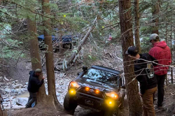
Denver Creek
Denver Creek is a challenging, scenic four-wheel-drive trail near Kellogg, Idaho, ideal for experienced offroaders looking to test their vehicle's capabilities on a unique rock crawling route. This 6.5-mile trail features a technical rating of 6 out of 10 and climbs from an elevation of 2,566 feet u...
Learn more about Denver Creek
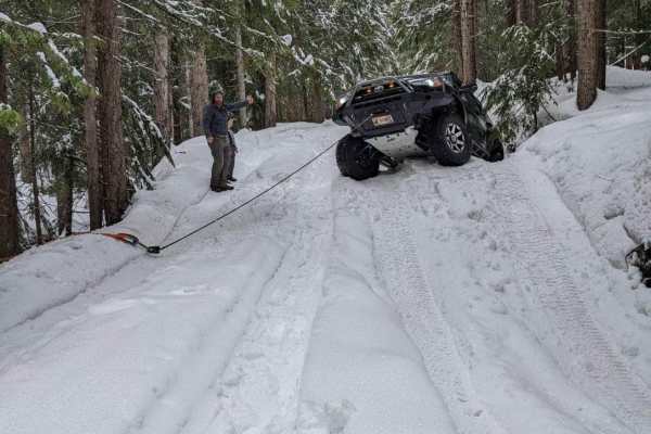
Roller Coaster
This is a great trail for all levels. There are bypasses to most obstacles, which allows you to make the trail as difficult as you would like. It will test your approach & departure angles. There are logs and rock obstacles. Make sure to stay on the trail and always clean up after yourself to keep t...
Learn more about Roller Coaster
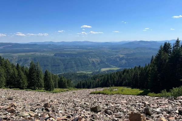
Cataldo to St. Joe Baldy
This is a nice, easy route from Cataldo to the top of St. Joe Baldy. There are 2 different hiking trails on the route that take you to Crystal Lake. The last mile or so becomes very exposed and rocky, but at the top, you can see up and down the St. Joe River for miles.
Learn more about Cataldo to St. Joe Baldy
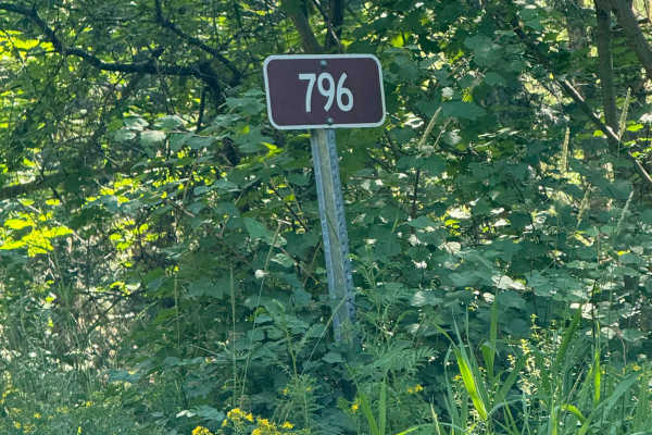
Bumblebee Creek - FS 796
This is a nice, easy route up to Laverne Saddle. At the bottom, the road is slightly rocky, but once the climbing starts, the road gets mostly smooth. There are some beautiful views into the valley, and moose and elk are known to be seen on the trail. There is a fork approximately half a mile from ...
Learn more about Bumblebee Creek - FS 796
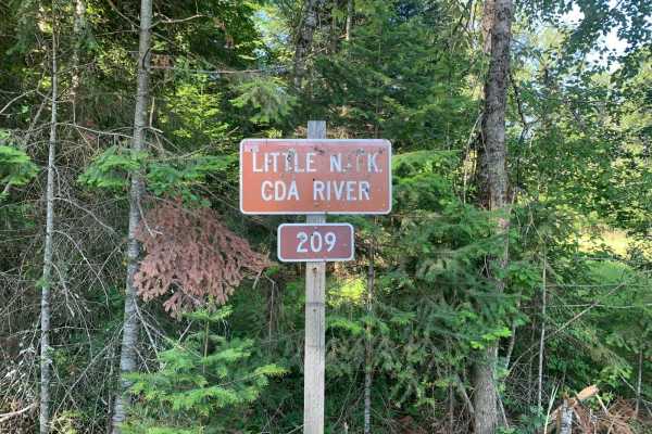
North Fork Coeur d'Alene River (209)
Little North Fork Coeur d'Alene River Road (209) is the main route through this part of the Coeur d'Alene National Forest. On the southeast end, it turns from pavement to gravel just past Bumblebee Campground and heads northwest to Honeysuckle Campground. There are numerous spots to camp alongside...
Learn more about North Fork Coeur d'Alene River (209)
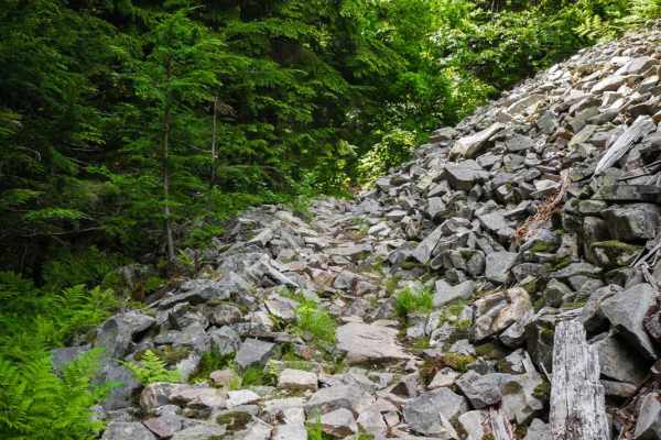
Graham Coal Connect
This 3.6-mile trail is a super challenging single track that connects Coal Creek and Graham Creek in the Coeur d'Alene National Forest. Much of the trail is very rocky and narrow, crossing several short scree fields, with switchbacks that are 180-degree hairpin turns and very tight. It follows a cre...
Learn more about Graham Coal Connect
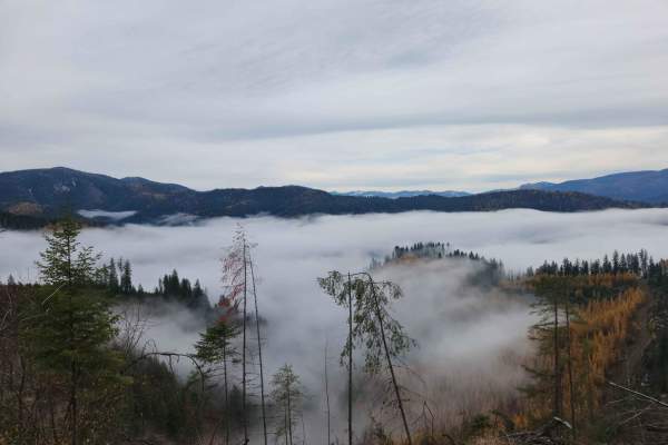
Montgomery-Moon Ridge
Montgomery-Moon Ridge is USFS road #946, a lightly used well-maintained route in the Coeur d'Alene National Forest. At low elevation, it passes many privately owned tracts and has lots of tight turns. There are no camping or bathrooms on the route, and deer and elk are infrequently found due to prox...
Learn more about Montgomery-Moon Ridge
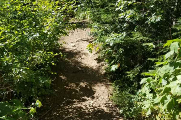
Lost Lake
The trail to Lost Lake takes you deep into the mountains to the south of Osburn, Idaho, on a gorgeous 1600ft climb with many breathtaking views of the Silver Valley. The trail starts directly out of the Big Creek I-90 Exit, with a small parking lot available. The initial climb is pavement for about ...
Learn more about Lost Lake
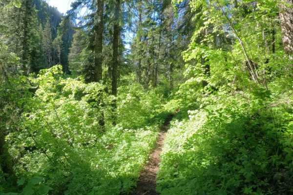
Coal Creek
Coal Creek Trail is located in the Coeur d'Alene National Forest north of Kellogg, Idaho. The south end of the trail starts at the intersection with Graham Ridge at 5,400 feet, and steadily descends 3,000 feet to the north trailhead off of National Forest Development Road 9. The entire length of the...
Learn more about Coal Creek
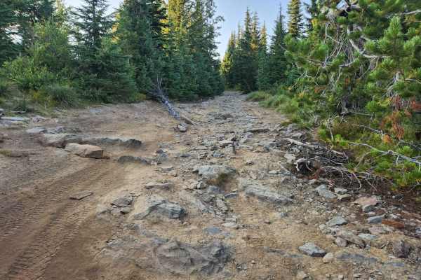
St. Joe Divide Access
The St. Joe Divide Access Road is a steep, brief, and rocky offshoot road from the Twin Crags road that gives access to the St. Joe Divide ridge line motorcycle trail. The rocks on the road are sharp and must be traversed with care. The most southern tip of the road is the ridge line access point, t...
Learn more about St. Joe Divide Access
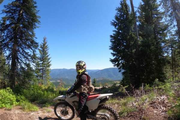
Graham Ridge
Graham Ridge is located in the Coeur d'Alene National Forest north of Kellogg, Idaho. The east trailhead starts off of Forest Service Road 620 (Character Ridge) and can be connected with several other single-track trails in the area. The trail is narrow, with good traction, and mostly fast and flowy...
Learn more about Graham Ridge
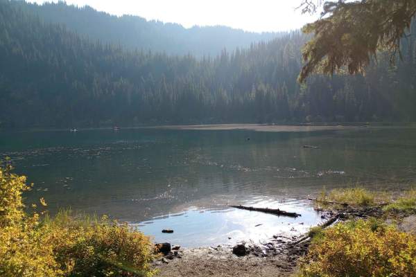
Lake Elsie (2354)
This national forest road leads to Lake Elsie Campground & Recreation Area. Lake Elsie is a no-fee camp area with 11 designated campsites and miles of ATV trails. It's also a great day-use area for kayaking, paddle boarding, and other water activities. The area seems to be popular during hunting sea...
Learn more about Lake Elsie (2354)
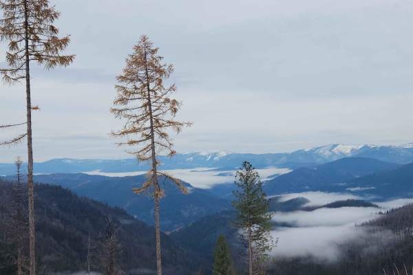
Character Ridge
Character Ridge is USFS road #620, a lightly used well maintained route in the Coeur d'Alene National Forest. It rises from Coeur d'Alene River Road and has lots of tight turns. There are no camping or bathrooms on the route, and deer and elk are infrequently found due to proximity to town. The rout...
Learn more about Character Ridge
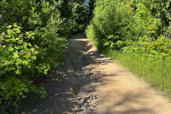
Bumblebee Peak
From Bumblebee Creek Road, take 2369 up the ridge, then make a hard left for the final climb to the peak. It is very narrow with no turnouts, but the views are worth it. While at the top, look for the two old survey markers from 1940. Once off the peak, you can take Road 323 down to the river road.
Learn more about Bumblebee Peak
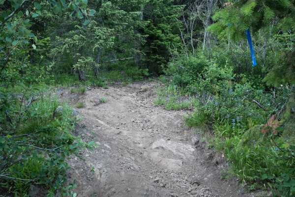
St Joe Divide NRT ATV (Kellogg Saddle to Dam Creek)
This is a 6-mile segment of the St. Joe Divide Nrt ATV trail that goes along the natural divide between the Coeur D'Alene National Forest and the St. Joe National Forest. From east to west, it goes from the intersection with Dam Creek to the Kellogg Saddle at 4,400 feet elevation. It's a fun ATV rid...
Learn more about St Joe Divide NRT ATV (Kellogg Saddle to Dam Creek)
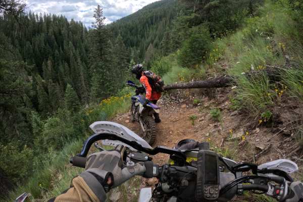
Bronson Meadows Loop
Trail rating is a 7 due to loose rock, scree fields, tight switchbacks, creek and river crossings, and distance. No cell service on most of this ride, so bring a satellite communicator and never ride alone. Starting at Elsie Lake, take the Lake Elsie ATV trail. Follow this ATV trail for about 1 mile...
Learn more about Bronson Meadows Loop
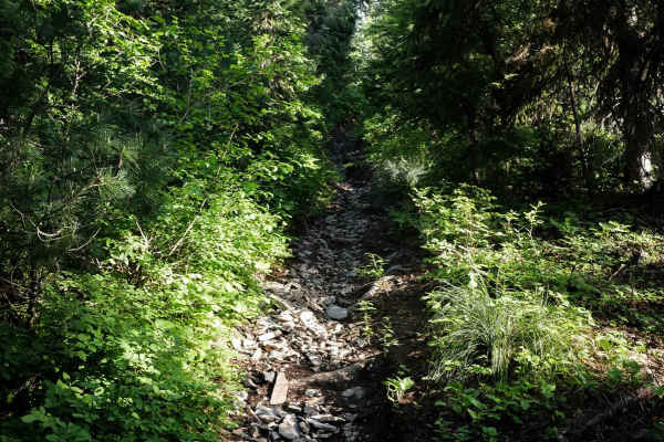
Elsie Peak
This single track takes you 2 miles south of the Coeur D'Alene Divide NRT ATV trail to the summit of Elsie Peak. It's a tight and narrow single track with deep troughs and really steep sections that go straight up. It has lots of overgrown bushes sticking out over the trail and lots of tight curves....
Learn more about Elsie Peak
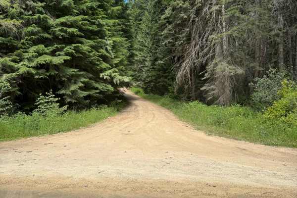
Little Bumblebee - FS 323
Route starts on the North Fork road and takes you up to Bumblebee Peak. This is a non-maintained road that stays mostly smooth in the flatter sections but can get quite rutted in the steeper parts. Once at the saddle, take the final climb up TR 2369 to Bumblebee Peak. It is very narrow with no turn...
Learn more about Little Bumblebee - FS 323
ATV trails near Pinehurst, Idaho
Explore ATV-friendly trails near you. These trails are accessible for vehicles up to 50 inches wide, perfect for ATVs and smaller off-road machines.
Frost Peak
This route gives you incredible views of Wardner Peak and valleys. It finishes at the top of Frost Peak, giving you views of the Silver Valley. Most of the trail is easy fire road but the lase mile to the top gets rough and rocky., but the last
Learn more about Frost Peak
Pine Point
This trail is just outside Pinehurst. Coming down the little road next to a very beautiful creek. Then you turn left to go up the trail. It's an easy forest service road. But you can take this awesome bypass that goes straight up the mountain. On a tight little trail through the pine trees and recon...
Learn more about Pine Point
Denver Creek
Denver Creek is a challenging, scenic four-wheel-drive trail near Kellogg, Idaho, ideal for experienced offroaders looking to test their vehicle's capabilities on a unique rock crawling route. This 6.5-mile trail features a technical rating of 6 out of 10 and climbs from an elevation of 2,566 feet u...
Learn more about Denver Creek
Roller Coaster
This is a great trail for all levels. There are bypasses to most obstacles, which allows you to make the trail as difficult as you would like. It will test your approach & departure angles. There are logs and rock obstacles. Make sure to stay on the trail and always clean up after yourself to keep t...
Learn more about Roller Coaster
UTV/side-by-side trails near Pinehurst, Idaho
Find UTV and side-by-side trails near you. These trails accommodate vehicles up to 60 inches wide, ideal for UTVs, side-by-sides, and wider off-road rigs.
Frost Peak
This route gives you incredible views of Wardner Peak and valleys. It finishes at the top of Frost Peak, giving you views of the Silver Valley. Most of the trail is easy fire road but the lase mile to the top gets rough and rocky., but the last
Learn more about Frost Peak
Pine Point
This trail is just outside Pinehurst. Coming down the little road next to a very beautiful creek. Then you turn left to go up the trail. It's an easy forest service road. But you can take this awesome bypass that goes straight up the mountain. On a tight little trail through the pine trees and recon...
Learn more about Pine Point
Denver Creek
Denver Creek is a challenging, scenic four-wheel-drive trail near Kellogg, Idaho, ideal for experienced offroaders looking to test their vehicle's capabilities on a unique rock crawling route. This 6.5-mile trail features a technical rating of 6 out of 10 and climbs from an elevation of 2,566 feet u...
Learn more about Denver Creek
Roller Coaster
This is a great trail for all levels. There are bypasses to most obstacles, which allows you to make the trail as difficult as you would like. It will test your approach & departure angles. There are logs and rock obstacles. Make sure to stay on the trail and always clean up after yourself to keep t...
Learn more about Roller Coaster
The onX Offroad Difference
onX Offroad combines trail photos, descriptions, difficulty ratings, width restrictions, seasonality, and more in a user-friendly interface. Available on all devices, with offline access and full compatibility with CarPlay and Android Auto. Discover what you're missing today!
Open Trail Map