Bumblebee Peak

Total Miles1.6
Technical Rating
3Easy
Best TimeSpring, Summer, Fall
Trail TypeFull-Width Road
Accessible By
Open Trail Map

Trail Overview

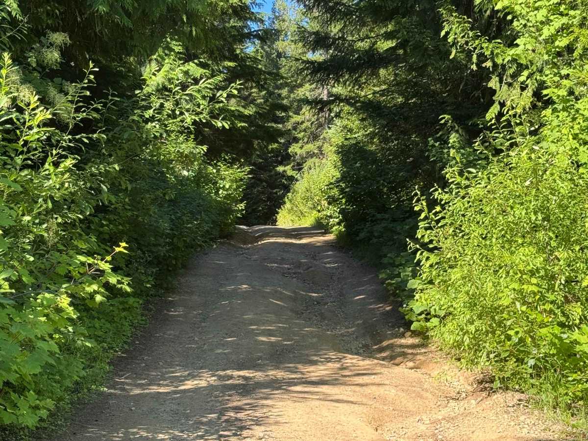
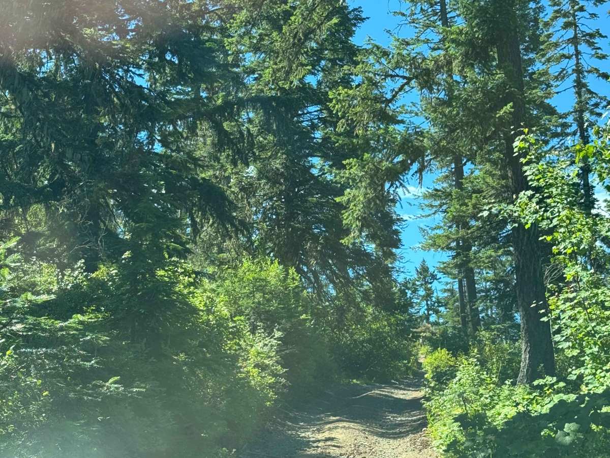
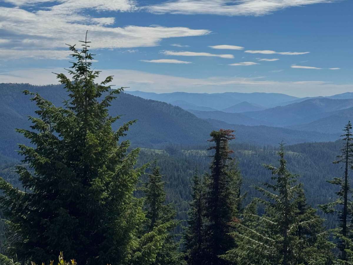
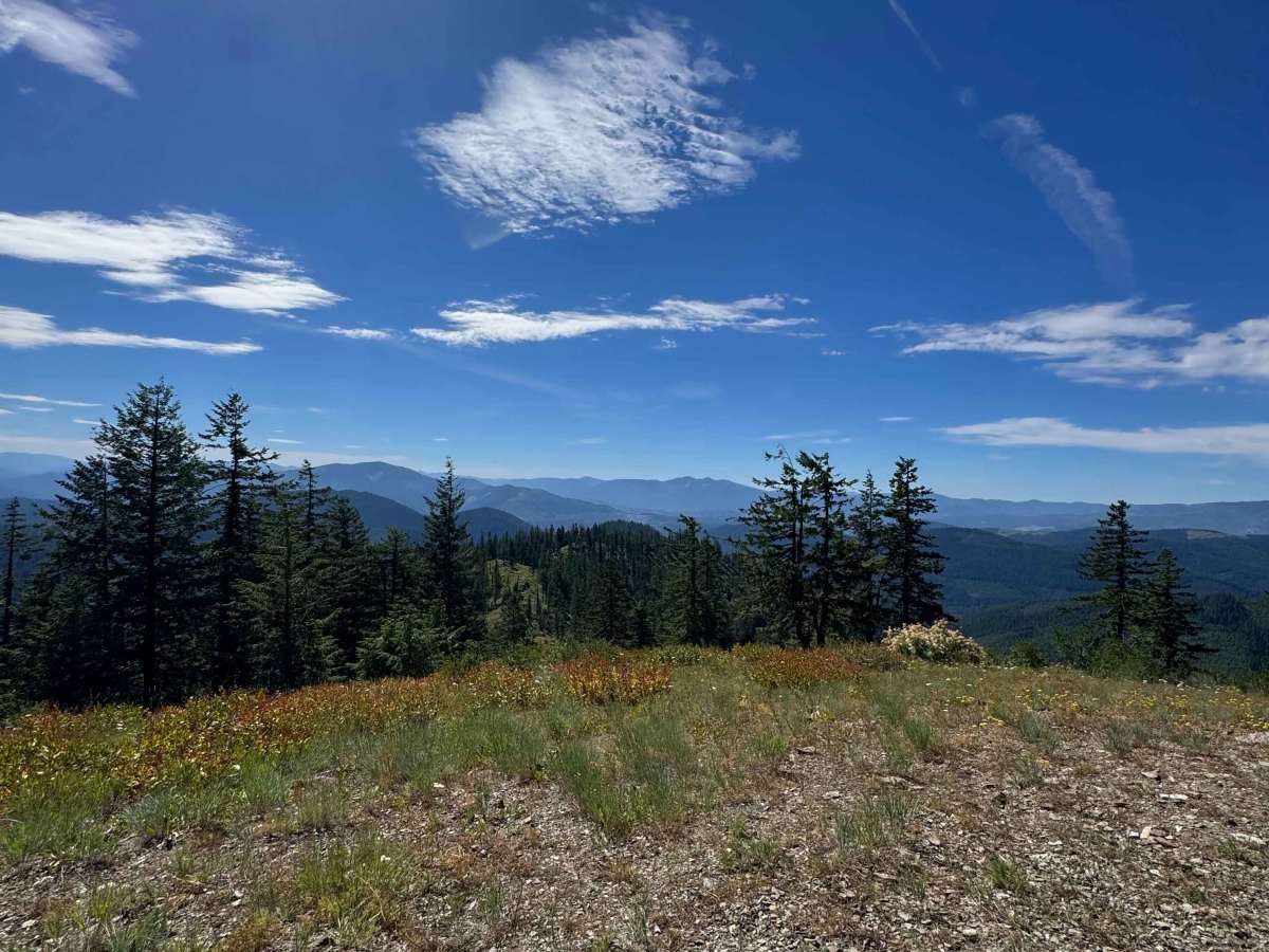
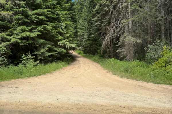
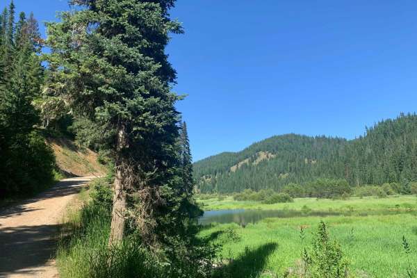
From Bumblebee Creek Road, take 2369 up the ridge, then make a hard left for the final climb to the peak. It is very narrow with no turnouts, but the views are worth it. While at the top, look for the two old survey markers from 1940. Once off the peak, you can take Road 323 down to the river road.

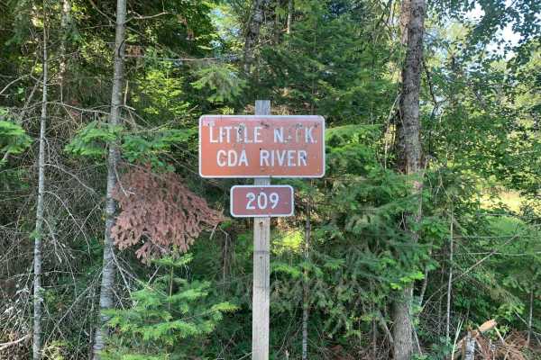
Photos of Bumblebee Peak

Difficulty

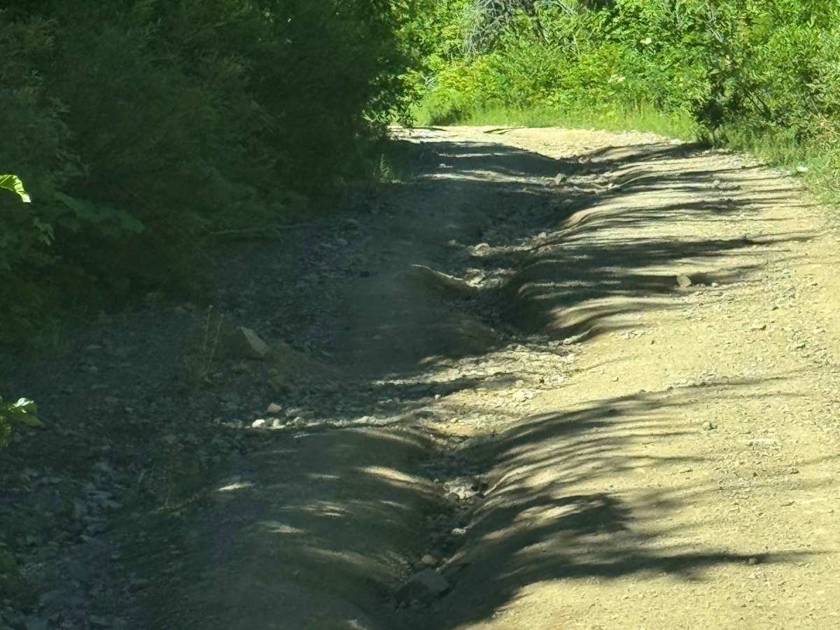
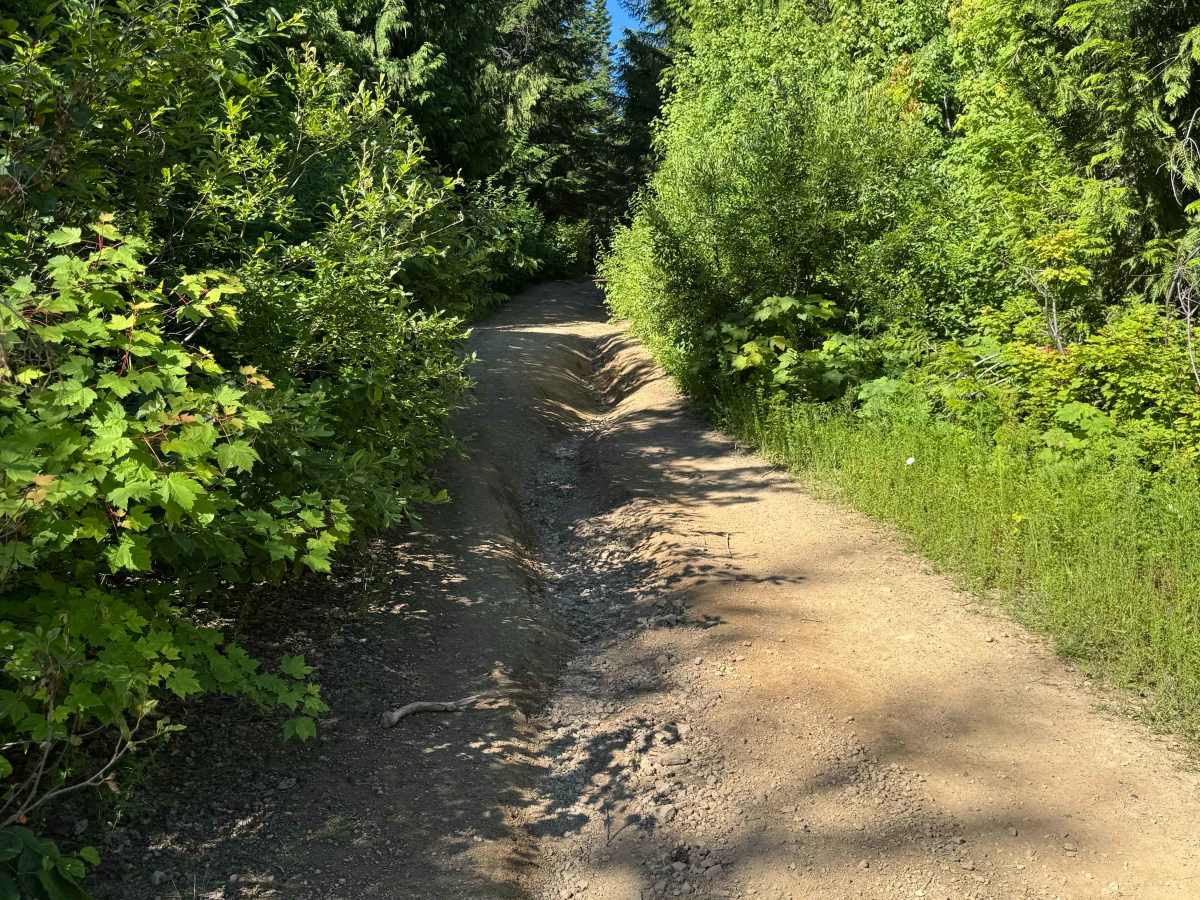
Narrow road with rain ruts.

Technical Rating

3

Bumblebee Peak Trail can be accessed by the following ride types:

  • Single Track
  • 50 Inch
  • 60 Inch
  • High Clearance
  • Full Width

Bumblebee Peak Map

The onX Offroad Difference

onX Offroad combines trail photos, descriptions, difficulty ratings, width restrictions, seasonality, and more in a user-friendly interface. Available on all devices, with offline access and full compatibility with CarPlay and Android Auto. Discover what you're missing today!

Open Trail Map