
Dirt Bike Trails
Near Parowan, Utah
Explore All Dirt Bike Trails Near Parowan, Utah
Dirt Bike Trails Near Parowan, Utah
Discover the best dirt bike trails near you. Browse trail maps, check difficulty ratings, and find your next adventure — whether you're looking for a quick ride or an all-day expedition.
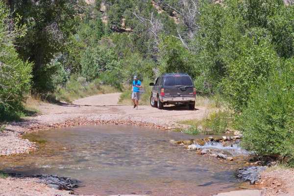
Second Left Hand
This trail starts off with an immediate water crossing. It's wide but no more than a foot deep. The trail then takes you up the canyon as a wide dirt road. This quickly changes into a narrow switchback trail that takes you up the plateau. As you go through the switchbacks you will cross by many beau...
Learn more about Second Left Hand

Caddy Creek/Little Valley
While Climbing Horse Valley/Markagunt Plateau Caddy Creek will turn to the left. This will be a class 2 road providing beautiful scenery and amazing views. This is mainly gravel with some creek crossings. Check weather conditions route may turn muddy and slippery, while dry creek beds may start to f...
Learn more about Caddy Creek/Little Valley
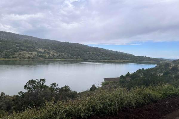
Red Creek Road (FR30078)
Red Creek Road is a maintained Forest Service Road that is traveled frequently to Red Creek Reservoir from Paragonah. The route also leads to many other mountain roads and can be used as a connector to trails to cross the mountain to Panguitch. The trail on the west side of the reservoir takes you t...
Learn more about Red Creek Road (FR30078)
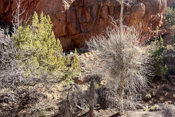
Little Creek Road West
Part of the "Old Spanish Trail" original route in the Dixie National Forest. The trailhead is very close to the I-15. This trail follows a "little creek" most of the way. Very passible when the trail is dry. This is a good "choose your own adventure." There are many different trails you can connec...
Learn more about Little Creek Road West
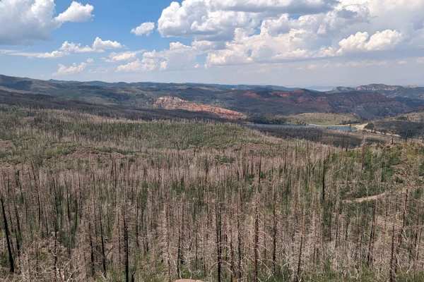
Markagunt Plateau-Clear Creek FS 30050
Markagunt Plateau-Clear Creek FS 30050 is a 4-mile point-to-point or out-and-back (depending upon vehicle size) trail located in Iron County, Utah, within the Cedar City Ranger District of the Dixie National Forest. The trailhead starts at the Clear Creek ATV parking area and travels west to the Cle...
Learn more about Markagunt Plateau-Clear Creek FS 30050
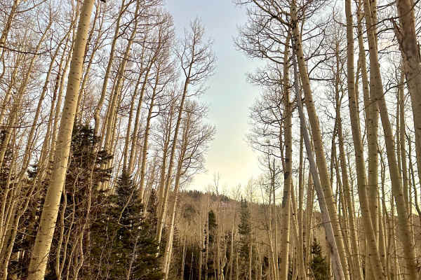
Sugar Loaf Mountain
This trail features a beautiful forest pass with a wide road, offering several camping spots along the way. As you navigate, you'll encounter small creeks and experience some steep inclines, particularly on the northwest section with about a 12 percent grade, while enjoying stunning views of Cedar B...
Learn more about Sugar Loaf Mountain

Navajo Point
This trail begins with a smooth path that meanders through a beautiful forest, offering plenty of pull-off spots for camping along the way. While there are sections with a steep incline, the trail also features flat areas and is wide enough to accommodate two vehicles, though it is closed seasonally...
Learn more about Navajo Point
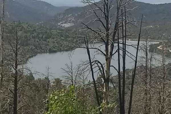
Panguitch Lake - Scenic Route
Travel on I-15 to exit 82. On the east side of the interstate to north on to frontage road. Continue north on the frontage road till you come upon the back side of the rest area off I-15. On the north side of the rest area, the start of Cottonwood Canyon will turn right. Follow along till you come u...
Learn more about Panguitch Lake - Scenic Route
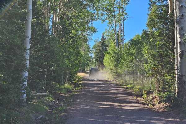
Markagunt Plateau
Starting from Highway 143, the trail starts out as a nice forest service dirt road. Roughly 4 miles in it turns into a single-lane dirt track as it descends the plateau. The trail becomes very rocky as you descend down the switchbacks and stays fairly rocky for the rest of the drive. Some parts are ...
Learn more about Markagunt Plateau
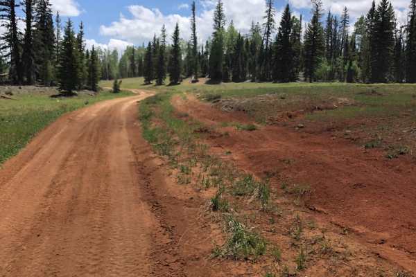
Red Desert Road
Red Desert Road (FR 32000.8.81) is a moderate forest road best suited for high-clearance vehicles and riders looking to access the broader Markagunt OHV network near Brian Head. It’s primarily a connector route, but its changing surface and elevation make it more than just a casual drive.
The road ...
Learn more about Red Desert Road

Sandy Caddy Creek Loop
Sandy Caddy Creek Loop starts as a class 2 trail that winds up to a view to overlooks the town of Panguitch, Utah. The trails continue traveling on top of the mountain top and turn to a class 3 as you entire rock fields. You'll begin to traverse down from the top of the mountain and turn left to con...
Learn more about Sandy Caddy Creek Loop

Lava Camp Road
This is a trail that would be best used for either dry camping or getting away from the traffic to rest and relax. It is a pretty easy dirt and gravel road. There are a few areas with some erosion running down the road, but it would be easy to stay out of them. Towards the end of the road, it narrow...
Learn more about Lava Camp Road
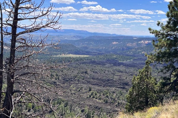
Birch Spring Pass Creek - BLM32000.3
If you're looking for a fun trail with amazing views of massive lava fields this is it. You will be riding through forested areas with some very large meadows that boast of great flowers in the spring. This is a fun trip as the variety of scenery is impressive. The bonus is you can also include a tr...
Learn more about Birch Spring Pass Creek - BLM32000.3
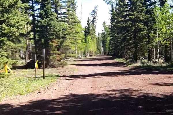
Tommy Creek Loop
This section of the Tommy Creek Loop goes across the Garfield County and Iron County lines. This is a dirt trail and is used in the Forest Service Trail System to access the Duck Creek Area trails. From this trail, the other sections loop using the Markagunt Plateau, Red Desert, and Sage Valley to e...
Learn more about Tommy Creek Loop
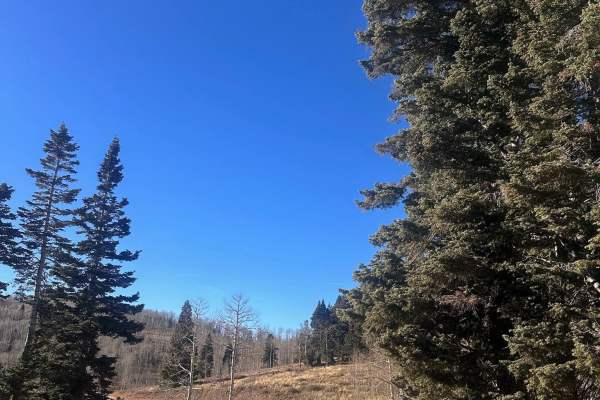
Webster Flat
This trail features a smooth, easy dirt road accessible off Highway 14, marked by a sign directing you to Webster Flat. Enjoy a scenic drive surrounded by stunning Aspens, with a wide enough path for two vehicles and cattle crossings, making it a highly recommended route in early fall for breathtaki...
Learn more about Webster Flat
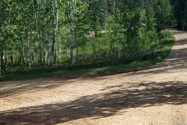
Sage Valley Road
Sage Valley Road (FR 32000.8.80) is a scenic forest road best suited for drivers looking for an easygoing backcountry connection rather than a technical challenge, with broad views and quiet travel through the Dixie National Forest. It’s a solid option for stock 4x4s and high-clearance vehicles want...
Learn more about Sage Valley Road
Arrowhead Trail
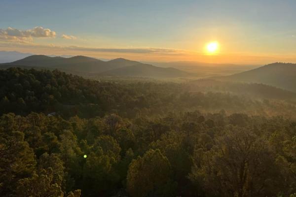
This trail starts in the flat lands with beautiful desert scenery for miles around, with a two-lane maintained road but sand can be washed out by floods so always keep in mind weather conditions. The further you travel the more mountainous the terrain becomes, the last mile turns to a single-lane un...
Learn more about Arrowhead Trail

Gooseberry Point
An easy trail through the trees to a nice viewpoint in the Cedar mountains. The trail is a two track winding through the Pinon and Juniper trees. At the time of mapping, there was a large herd of sheep in the area, which we slowly passed through. There are no major obstacles to the trail.
Learn more about Gooseberry Point
Henrie Connector
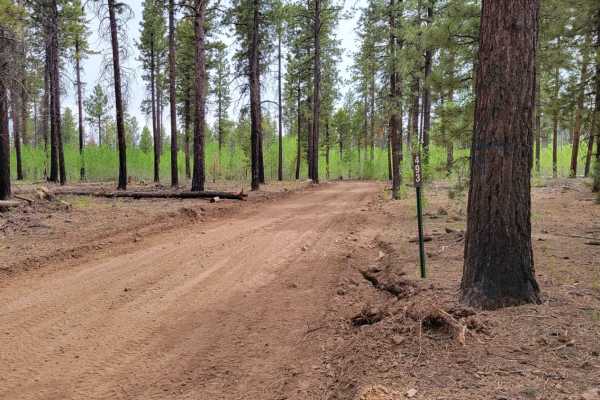
This mile-and-a-half trail connects Tommy Loop and Henrie Knolls. At one point, the trail crosses a black rock lava field. Open to SXS or smaller machines. Nothing too challenging about this route, but there are some loose rocks on the trail here and there. This is part of trail #4 of the Markagunt ...
Learn more about Henrie Connector
Henrie Knolls Summit
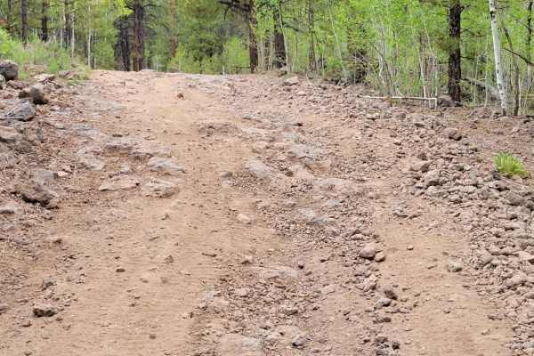
This trail takes you to the top of Henrie Knolls Summit: elevation of 9,239'. According to the Markagunt OHV System Map, this ranks as a blue (advanced) trail. The trail is very rocky, with fallen trees/debris very possible. The hill climb to the summit is steep, with an erosion rut cutting down the...
Learn more about Henrie Knolls Summit
ATV trails near Parowan, Utah
Explore ATV-friendly trails near you. These trails are accessible for vehicles up to 50 inches wide, perfect for ATVs and smaller off-road machines.
Second Left Hand
This trail starts off with an immediate water crossing. It's wide but no more than a foot deep. The trail then takes you up the canyon as a wide dirt road. This quickly changes into a narrow switchback trail that takes you up the plateau. As you go through the switchbacks you will cross by many beau...
Learn more about Second Left Hand
Caddy Creek/Little Valley
While Climbing Horse Valley/Markagunt Plateau Caddy Creek will turn to the left. This will be a class 2 road providing beautiful scenery and amazing views. This is mainly gravel with some creek crossings. Check weather conditions route may turn muddy and slippery, while dry creek beds may start to f...
Learn more about Caddy Creek/Little Valley
Red Creek Road (FR30078)
Red Creek Road is a maintained Forest Service Road that is traveled frequently to Red Creek Reservoir from Paragonah. The route also leads to many other mountain roads and can be used as a connector to trails to cross the mountain to Panguitch. The trail on the west side of the reservoir takes you t...
Learn more about Red Creek Road (FR30078)
Markagunt Plateau-Clear Creek FS 30050
Markagunt Plateau-Clear Creek FS 30050 is a 4-mile point-to-point or out-and-back (depending upon vehicle size) trail located in Iron County, Utah, within the Cedar City Ranger District of the Dixie National Forest. The trailhead starts at the Clear Creek ATV parking area and travels west to the Cle...
Learn more about Markagunt Plateau-Clear Creek FS 30050
UTV/side-by-side trails near Parowan, Utah
Find UTV and side-by-side trails near you. These trails accommodate vehicles up to 60 inches wide, ideal for UTVs, side-by-sides, and wider off-road rigs.
Second Left Hand
This trail starts off with an immediate water crossing. It's wide but no more than a foot deep. The trail then takes you up the canyon as a wide dirt road. This quickly changes into a narrow switchback trail that takes you up the plateau. As you go through the switchbacks you will cross by many beau...
Learn more about Second Left Hand
Caddy Creek/Little Valley
While Climbing Horse Valley/Markagunt Plateau Caddy Creek will turn to the left. This will be a class 2 road providing beautiful scenery and amazing views. This is mainly gravel with some creek crossings. Check weather conditions route may turn muddy and slippery, while dry creek beds may start to f...
Learn more about Caddy Creek/Little Valley
Red Creek Road (FR30078)
Red Creek Road is a maintained Forest Service Road that is traveled frequently to Red Creek Reservoir from Paragonah. The route also leads to many other mountain roads and can be used as a connector to trails to cross the mountain to Panguitch. The trail on the west side of the reservoir takes you t...
Learn more about Red Creek Road (FR30078)
Little Creek Road West
Part of the "Old Spanish Trail" original route in the Dixie National Forest. The trailhead is very close to the I-15. This trail follows a "little creek" most of the way. Very passible when the trail is dry. This is a good "choose your own adventure." There are many different trails you can connec...
Learn more about Little Creek Road West
The onX Offroad Difference
onX Offroad combines trail photos, descriptions, difficulty ratings, width restrictions, seasonality, and more in a user-friendly interface. Available on all devices, with offline access and full compatibility with CarPlay and Android Auto. Discover what you're missing today!
Open Trail Map