
Dirt Bike Trails
Near Ocklawaha, Florida
Explore All Dirt Bike Trails Near Ocklawaha, Florida
Dirt Bike Trails Near Ocklawaha, Florida
Discover the best dirt bike trails near you. Browse trail maps, check difficulty ratings, and find your next adventure — whether you're looking for a quick ride or an all-day expedition.
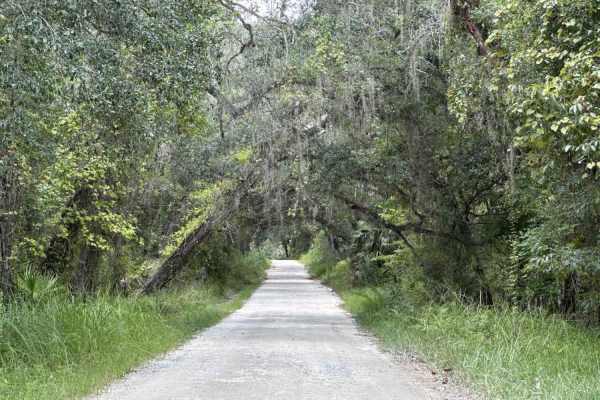
Ocala National Forest SE 13th Avenue
The Ocala National Forest SE 13th Avenue connects Ocklawaha Trail at the north end and State Route 314A at the south end of the trail at the west boundary of the Ocala National Forest. The trail gives you access to some dirt roads around the Tomahawk Lake and the Ocklawaha Prairie. The road conditio...
Learn more about Ocala National Forest SE 13th Avenue
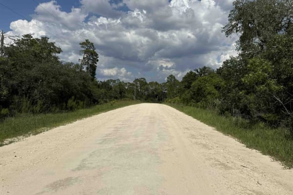
Doe Lake Trail - ONF 14
The Doe Lake Trail, also known as Ocala National Forest Road 14, connects SE 182nd Avenue at the west end and the South Cross Powerline Run at the east end in the south part of the ONF. The trail gives you access to the Doe Lake Boat Ramp and the Doe Lake Group Campground. The road conditions are a ...
Learn more about Doe Lake Trail - ONF 14
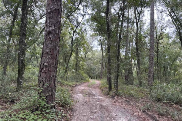
Ocala National Forest 24ST 3.2A
The Ocala National Forest Road 24ST 3.2A connects ONF 314A-5.7A at the south end and SW 125th Terrance Road at the north end in the southwest of the Ocala National Forest. The trail gives you access to other dirt roads and ponds. The road conditions are a mixture of packed sand, loose sand, and deep...
Learn more about Ocala National Forest 24ST 3.2A
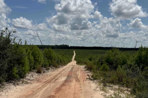
Lam Horse Trail - ONF 22-0.3A
The Lam Horse Trail, also known as Ocala National Forest Road 22-0.3A, connects High Tension Road at the west end and Green Bear Hole / Lam Horse Trail at the east end in the south part of the ONF. The trail gives you access to several trails including 'Tread Lightly! Four Wheel Drive Way' (Florida'...
Learn more about Lam Horse Trail - ONF 22-0.3A
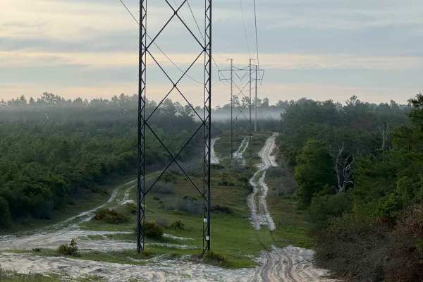
Powerline Plains
A short but memorable off-road trail running beneath power lines in the Ocala National Forest. The trail starts with its biggest challenge, a sandy uphill climb through sugar sand that needs some momentum. After any rain, this section gets harder, so come prepared with 4WD. Once you push through tha...
Learn more about Powerline Plains
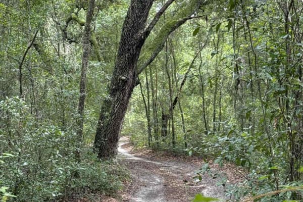
South West Pond Trail - ONF 314 5.7A
The South West Pond Trail, also known as Ocala National Forest Road 314 5.7A, connects the Ocklawaha Trail at the west end and Trail 314A-5.7 at the east end in the southwest part of the Ocala National Forest. The trail gives you access to the South West Pond. The road conditions are a mixture of pa...
Learn more about South West Pond Trail - ONF 314 5.7A
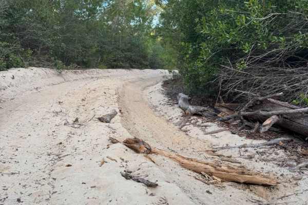
Canopy Run
A wide sugar-sand trail winding through dense Florida scrub and pine forest. The bright white sand stays loose throughout, with deep ruts in areas that can slow your momentum, making 4WD a preferred choice. Tall sand pines, live oaks, and thick palmettos create a shaded tunnel for most of the drive,...
Learn more about Canopy Run
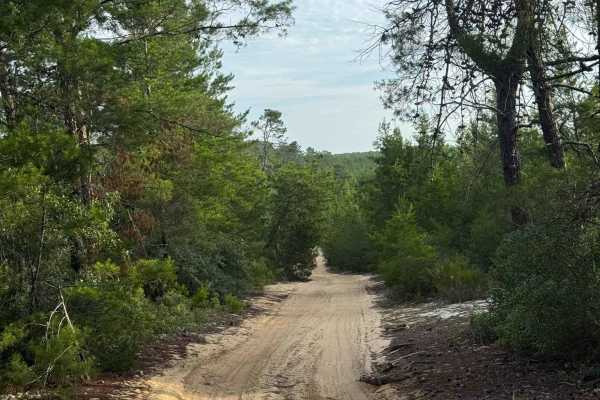
Longview Trail
A wide, sandy forest trail winding through dense Florida pine and palmetto scrub. Long straightaways provide excellent visibility and make it easy to spot obstacles or other vehicles well in advance without risk. The trail is mostly flat and smooth, with a single section of deeper rutted sand near t...
Learn more about Longview Trail
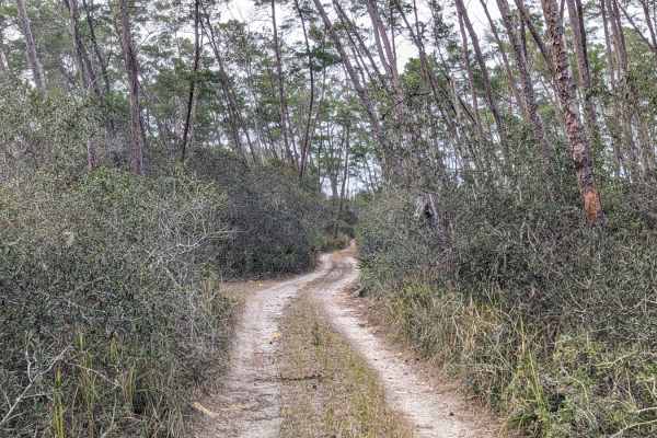
Island Lake Trail
This narrow two-track trail cuts through the heart of Ocala National Forest, allowing you to traverse deep into the wilderness. Once you're off the main road, you will be met with tight, mildly technical sections of sandy trails that put you under the canopy of towering pines and small palms. There'...
Learn more about Island Lake Trail
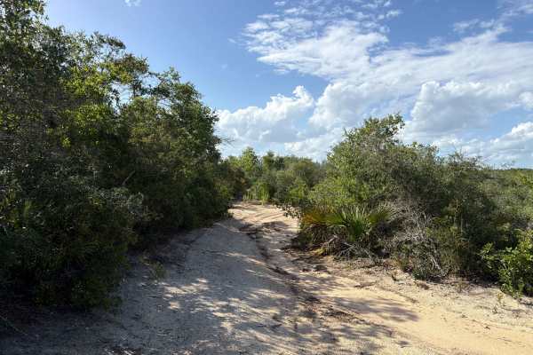
Lam Horse Trail - FS 22-2.8
Lam Horse Trail, also known as Ocala National Forest Road 22-2.8, connects Tread Lightly! Four Wheel Drive Way at the north end and Volusia at the south end in the south part of the forest. The trail gives you access to a few OHV and Off-Road trails in the area. The road conditions are a mixture of ...
Learn more about Lam Horse Trail - FS 22-2.8
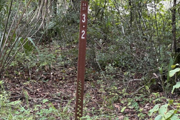
Ocklawaha Trail - ONF SE24ST
The Ocklawaha Trail, also known as Ocala National Forest Road SE24ST, connects SE 1st Road at the west end and Highway 314A at the east end in the southwest of the Ocala National Forest. The trail gives you access to some dirt roads that will take you to the Ocklawaha River. The road conditions are ...
Learn more about Ocklawaha Trail - ONF SE24ST
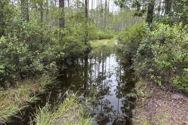
Ocala National Forest 24ST 3.2A2
The Ocala National Forest Road 24 ST 3.2A2 connects the ONF 24ST3.2A at the west end and ONF 40-5.61 which leads to Highway 40 at the east end in the southwest part of the Ocala National Forest. The road conditions are a mixture of packed sand, loose sand, and some very deep (2-3 feet), wide, and lo...
Learn more about Ocala National Forest 24ST 3.2A2
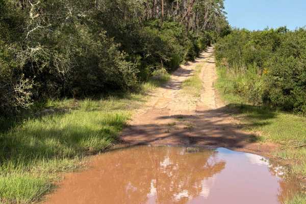
FS 5-10.0
Ocala National Forest Road 5-10.0 connects Tread Lightly! Four Wheel Drive Way at the west end and Green Bear Hole at the east end in the south part of the forest. The trail gives you access to a few OHV and Off-Road trails in the area. The road conditions are a mixture of packed sand, loose sand, a...
Learn more about FS 5-10.0
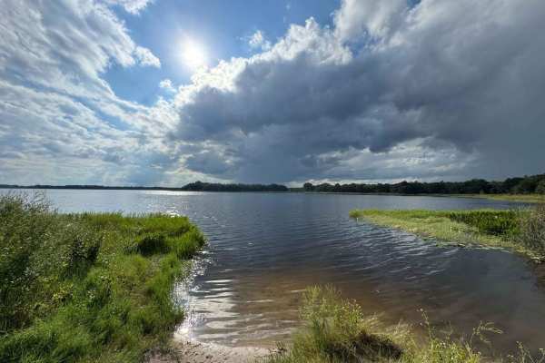
Lake Eaton Trail - ONF 5
The Lake Eaton Trail, also known as Ocala National Forest Road 5, connects Lake Eaton at the north end and Tread Lightly Four Wheel Drive Way at the south end in the north part of the Ocala National Forest. The trail gives you access to Halfmoon Lake, the Mill Dam Recreation Area and Campground, and...
Learn more about Lake Eaton Trail - ONF 5
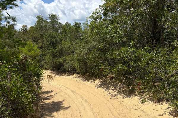
Centennial SW - FS 520
Centennial South-West, also known as Ocala National Forest Road 520, connects Halfmoon South at the south end and FS 17-1.7 at the north end in the south part of the forest. This trail is part of the Centennial OHV area. The road conditions are a mixture of packed sand, loose sand, and some deep hol...
Learn more about Centennial SW - FS 520
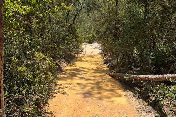
Centennial South - FS 520
Centennial South, also known as Ocala National Forest Road 520, connects Halfmoon South at the west end and Centennial Trail (FS 14-9.8) at the east end in the south part of the forest. This trail is part of the Centennial OHV area. The road conditions are a mixture of packed sand, loose sand, and s...
Learn more about Centennial South - FS 520
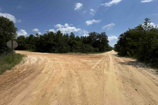
South Boundary Trail - ONF 2
The South Boundary Trail, also known as Ocala National Forest Road 2, connects SE 150th St and Centennial Trail at the east end and Halfmoon South Trail at the west end in the south part of the ONF. The trail is the south boundary of Ocala National Forest. The road conditions are a mixture of packed...
Learn more about South Boundary Trail - ONF 2
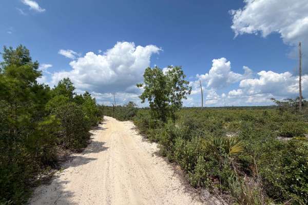
FS 14-6.0
Ocala National Forest Road 14-6.0 connects Tread Lightly! Four Wheel Drive Way at the north end and South Cross/Powerline Run at the south end in the south part of the forest. The trail gives you access to a few OHV and Off-Road trails in the area. The road conditions are a mixture of packed sand, l...
Learn more about FS 14-6.0
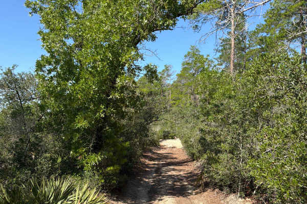
Centennial West - FS 520
Centennial West, also known as Ocala National Forest Road 520, connects FS 5-10.0 at the north end and FS 17-1.7 at the south end in the south part of the forest. This trail is part of the Centennial OHV area. The road conditions are a mixture of packed sand, loose sand, and some deep holes that can...
Learn more about Centennial West - FS 520
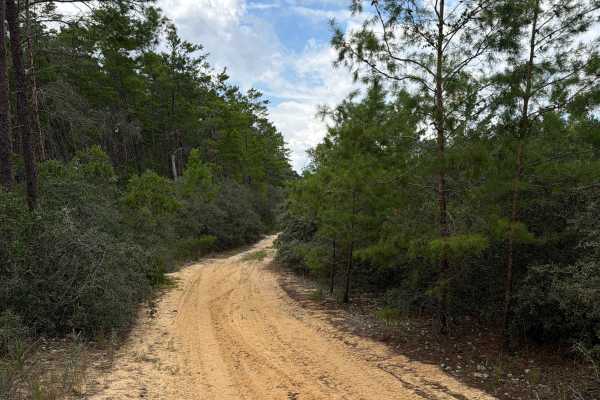
FS 13.3-6A
Ocala National Forest Road 13.3-6A connects South Cross/Powerline Run at the north end and Tread Lightly! Four Wheel Drive Way at the south end in the south part of the forest. The trail gives you access to a few OHV and Off-Road trails in the area. The road conditions are a mixture of packed sand, ...
Learn more about FS 13.3-6A
ATV trails near Ocklawaha, Florida
Explore ATV-friendly trails near you. These trails are accessible for vehicles up to 50 inches wide, perfect for ATVs and smaller off-road machines.
Ocala National Forest SE 13th Avenue
The Ocala National Forest SE 13th Avenue connects Ocklawaha Trail at the north end and State Route 314A at the south end of the trail at the west boundary of the Ocala National Forest. The trail gives you access to some dirt roads around the Tomahawk Lake and the Ocklawaha Prairie. The road conditio...
Learn more about Ocala National Forest SE 13th Avenue
Doe Lake Trail - ONF 14
The Doe Lake Trail, also known as Ocala National Forest Road 14, connects SE 182nd Avenue at the west end and the South Cross Powerline Run at the east end in the south part of the ONF. The trail gives you access to the Doe Lake Boat Ramp and the Doe Lake Group Campground. The road conditions are a ...
Learn more about Doe Lake Trail - ONF 14
Ocala National Forest 24ST 3.2A
The Ocala National Forest Road 24ST 3.2A connects ONF 314A-5.7A at the south end and SW 125th Terrance Road at the north end in the southwest of the Ocala National Forest. The trail gives you access to other dirt roads and ponds. The road conditions are a mixture of packed sand, loose sand, and deep...
Learn more about Ocala National Forest 24ST 3.2A
Lam Horse Trail - ONF 22-0.3A
The Lam Horse Trail, also known as Ocala National Forest Road 22-0.3A, connects High Tension Road at the west end and Green Bear Hole / Lam Horse Trail at the east end in the south part of the ONF. The trail gives you access to several trails including 'Tread Lightly! Four Wheel Drive Way' (Florida'...
Learn more about Lam Horse Trail - ONF 22-0.3A
UTV/side-by-side trails near Ocklawaha, Florida
Find UTV and side-by-side trails near you. These trails accommodate vehicles up to 60 inches wide, ideal for UTVs, side-by-sides, and wider off-road rigs.
Ocala National Forest SE 13th Avenue
The Ocala National Forest SE 13th Avenue connects Ocklawaha Trail at the north end and State Route 314A at the south end of the trail at the west boundary of the Ocala National Forest. The trail gives you access to some dirt roads around the Tomahawk Lake and the Ocklawaha Prairie. The road conditio...
Learn more about Ocala National Forest SE 13th Avenue
Doe Lake Trail - ONF 14
The Doe Lake Trail, also known as Ocala National Forest Road 14, connects SE 182nd Avenue at the west end and the South Cross Powerline Run at the east end in the south part of the ONF. The trail gives you access to the Doe Lake Boat Ramp and the Doe Lake Group Campground. The road conditions are a ...
Learn more about Doe Lake Trail - ONF 14
Ocala National Forest 24ST 3.2A
The Ocala National Forest Road 24ST 3.2A connects ONF 314A-5.7A at the south end and SW 125th Terrance Road at the north end in the southwest of the Ocala National Forest. The trail gives you access to other dirt roads and ponds. The road conditions are a mixture of packed sand, loose sand, and deep...
Learn more about Ocala National Forest 24ST 3.2A
Lam Horse Trail - ONF 22-0.3A
The Lam Horse Trail, also known as Ocala National Forest Road 22-0.3A, connects High Tension Road at the west end and Green Bear Hole / Lam Horse Trail at the east end in the south part of the ONF. The trail gives you access to several trails including 'Tread Lightly! Four Wheel Drive Way' (Florida'...
Learn more about Lam Horse Trail - ONF 22-0.3A
The onX Offroad Difference
onX Offroad combines trail photos, descriptions, difficulty ratings, width restrictions, seasonality, and more in a user-friendly interface. Available on all devices, with offline access and full compatibility with CarPlay and Android Auto. Discover what you're missing today!
Open Trail Map