
Dirt Bike Trails
Near Mass City, Michigan
Explore All Dirt Bike Trails Near Mass City, Michigan
Dirt Bike Trails Near Mass City, Michigan
Discover the best dirt bike trails near you. Browse trail maps, check difficulty ratings, and find your next adventure — whether you're looking for a quick ride or an all-day expedition.
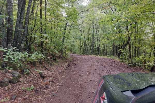
Caledonia Road
Caledonia Road offers a scenic and moderately challenging point-to-point offroad route near Mass City, Michigan, perfect for drivers seeking a classic Upper Peninsula forest adventure with a touch of mining history. Spanning approximately 4.9 miles, this unmaintained trail cuts through dense woodlan...
Learn more about Caledonia Road
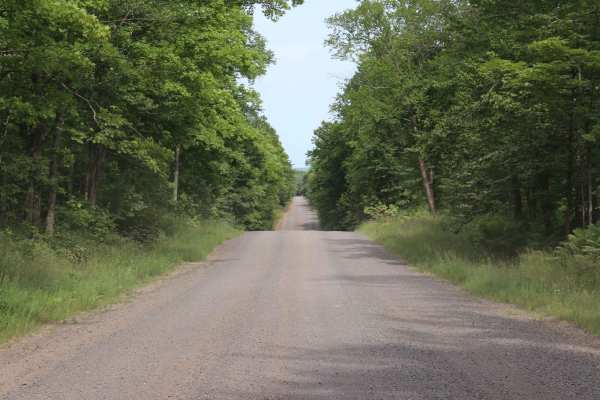
Pike Lake Road
A 2 lane gravel road that winds through the forest of the Western Peninsula. This road is a scenic drive that accesses several lakes, rivers, national and state trails, and public hunting lands. Be aware that the road is often closed in early Spring due to the muddy conditions and frost heaves.
Learn more about Pike Lake Road
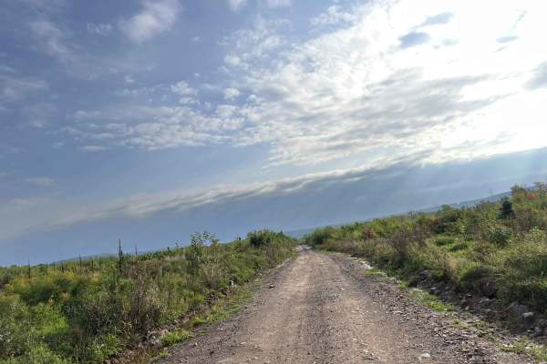
Trail P - FDR 655
This section of Trail P navigates from its intersection with Norwich Road and runs to its intersection with Victoria Road. The trail is very scenic, and every time it is ridden, more cool spots that the trail overlooks can be seen. The trail starts off in the woods like the previous sections of Trai...
Learn more about Trail P - FDR 655
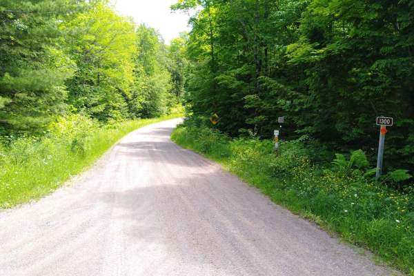
FDR 1300 / Markey Lake Road
FDR 1300 / Markey Lake Road is 8.4 miles long and takes about 45 minutes with an average speed of 10.4 MPH including time for trail pictures. This is both FDR 1300 and Markey Lake Road and connects FDR 1334/FDR 1300 with FDR 2200 to loop around the east side of The Sturgeon River Gorge Wilderness.
Learn more about FDR 1300 / Markey Lake Road
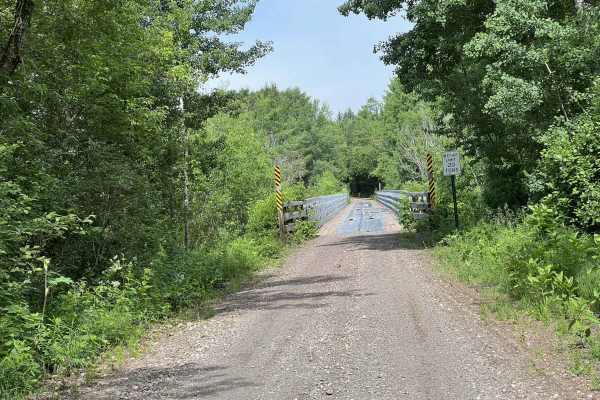
Trail SB Bruce Crossing
This is trial SB. This trail runs from its start point at its intersection with trail LL, located just north of Agate Falls. This trail runs until its endpoint at Hokens Rd. The trail is located in Ontonagon County, Michigan. This section of the SB railroad grade runs through several small towns; ho...
Learn more about Trail SB Bruce Crossing
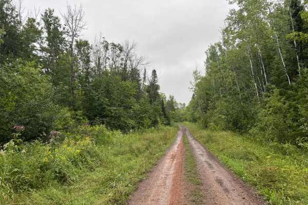
Trail P - Cascade Falls
This is Trail P - Cascade Falls, located in Ontonagon County, Michigan. This portion of Trail P runs from its intersection with Trail P - FDR502 and FDR 400, to its intersection with Trail P, FDR 655, and Norwich Road. This section of Trail P can access the Cascade Falls trail head via FDR 400, but ...
Learn more about Trail P - Cascade Falls
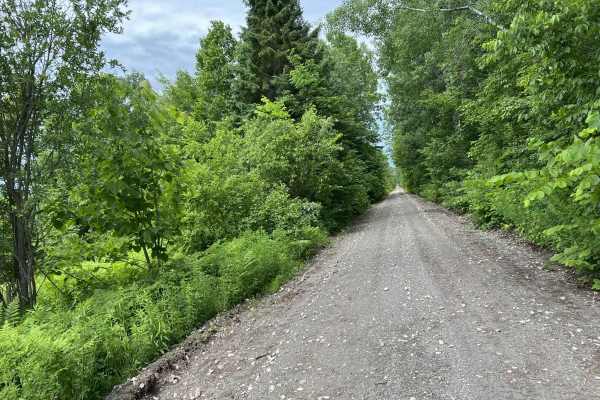
Trail SB Bergland
This is Trail SB located in Ontonagon County Michigan. This trail runs from the intersection of Hokens Road and Trail SB Bruce Crossing to Trail SB's end point in Bergland. This trail, like the majority of trail SB is a converted railroad grade. The scenery along this trail is a mix of trees alongsi...
Learn more about Trail SB Bergland
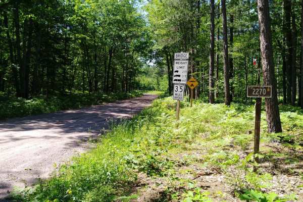
FDR 2270
This section of FDR 2270 is mapped from FDR 2200 to FDR 2276. FRD 2270 continues NE another 5 miles to the Prickett Dam Rd area. (That leads on to M38 about 7 miles total) This section of FDR 2270 is 6 miles long, takes about 45 minutes with an average speed of 8.7MPH. (Time does not include an opti...
Learn more about FDR 2270
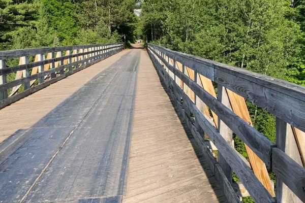
Two Waterfalls
This route is a collection of a few forest service roads linked together in the Ottawa National Forest to visit two scenic waterfalls in the area, Agate Falls and Bond Falls. Most of the route is 2 lanes wide except the first 10 miles on the NE side. This section is optional. It's a snowmobile trail...
Learn more about Two Waterfalls
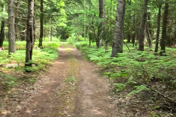
FS 2297/2200
Forest Service Road (FS) 2297 combined with FS 2200 is a federally owned/ locally maintained Level-2/ Level-3 "two-Track" forest access route with a surface composition of gravel, sand, dirt, and native material (ex: leaves, pine needles, pine cones, sticks, branches). This route branches off of FS ...
Learn more about FS 2297/2200
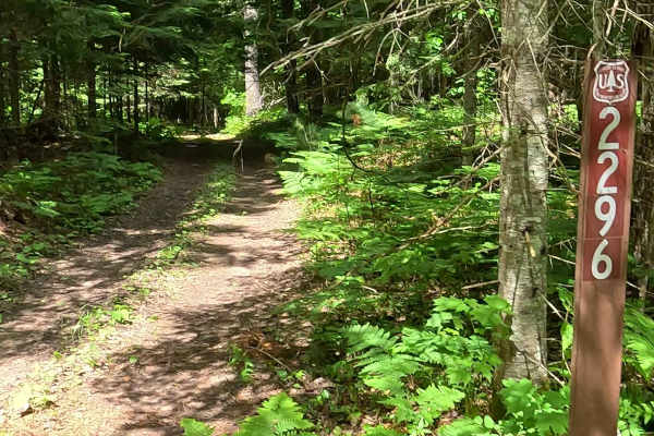
FS 2296
Forest Service Road (FS) 2296 is a federally owned/ locally maintained Level-2/ Level-3 "two-Track" forest access route with a surface composition of gravel, sand, dirt, and native material (ex: leaves, pine needles, pine cones, sticks, branches). This route branches off of FS 2240 and FS 2297 withi...
Learn more about FS 2296
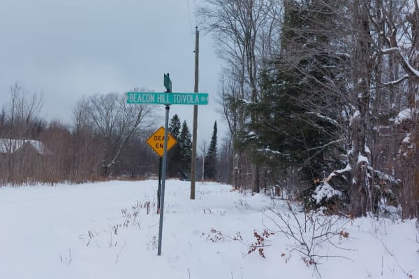
Freda Crosscut
A gentle winding trail through the Michigan Woods. This trail used to be very narrow, unmaintained, rutted, and muddy. Recently the logging companies have been using it and made significant improvements by grading, widening, and crowning the road for drainage. It may stay this way or it may return t...
Learn more about Freda Crosscut
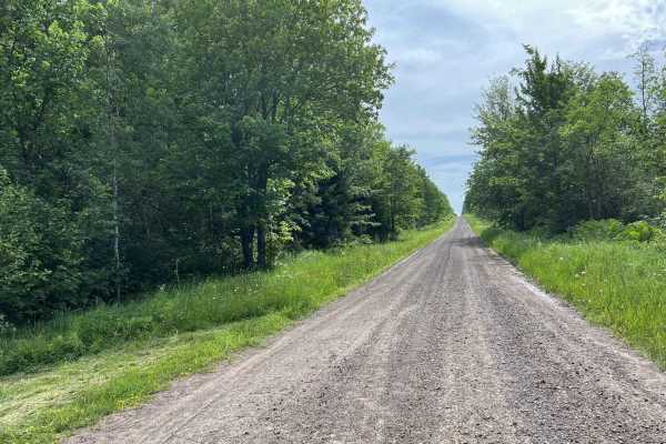
Swanson Road
Swanson Road is located in Ontonagon County, Michigan. This trail runs from its intersection with US Highway 45 to its intersection with FR-5320. This is a short access trail that will allow road-legal vehicles easy access to the southern Ontonagon County trails. The trail itself consists of wide op...
Learn more about Swanson Road
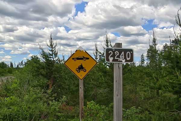
FS 2240
Forest Service Road (FS) 2240 is a federally owned/ locally maintained Level-2/ Level-3 forest access route with a surface composition of gravel, sand, dirt, and native material (ex: leaves, pine needles, pine cones, sticks, branches). This route branches off of Forest Service Road (FS) 553 and tra...
Learn more about FS 2240
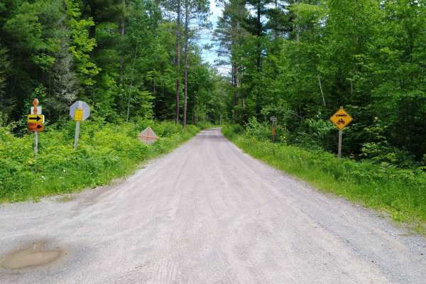
FDR 2200
This section of FDR 2200 is mapped from Markey Lake Road to FDR 2270. The area mapped is 10.8 miles long, and takes about an hour with an average speed of 10.1 MPH including time for trail pictures and a short walk to the view from the "Bears Den Overlook". (The short walk is about 200 feet from the...
Learn more about FDR 2200
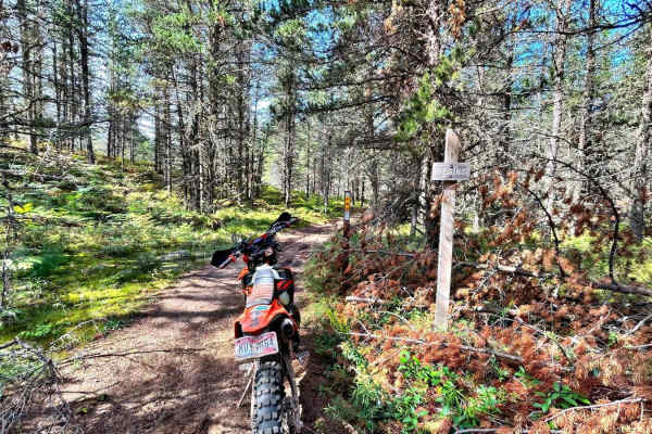
Baraga Plains South Loop
Baraga Plains South Loop is not bidirectional. From the Baraga Plains trailhead, cross the street where the two-track trail will begin. There are posted signs "Start" and "End." This trail is a mix of hard-pack sand and loose sand. It's a flat track with motocross berms that is fast, flowy, and fun.
Learn more about Baraga Plains South Loop
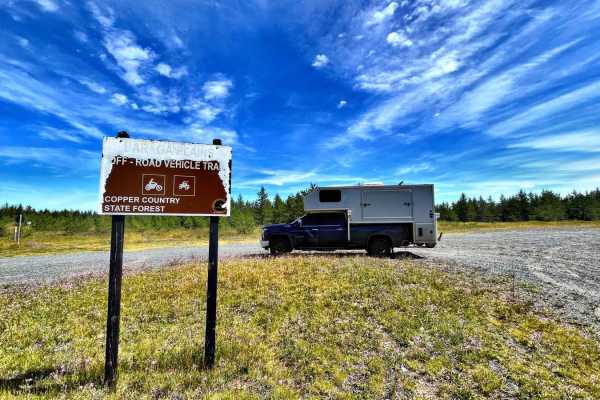
Baraga Plains North Loop
Park at Baraga Plains Trailhead. The north loop is a two-track flat trail. There is plenty of sand, roots, and puddles, but no whoops or hills. It's a wonderful place for kids and less experienced riders. You may encounter large watering holes. This is dual sport and adventure bike-friendly, and mob...
Learn more about Baraga Plains North Loop
Mill Mine Trail
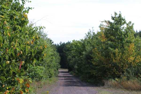
This trail runs along an old railroad grade off the Bill Nicholls trail back to the Bill Nicholls trail. It is an alternative to running through the towns of Painesdale, Trimountain, and South Range. The trail is easy on the North end but has a couple small water crossings on the South end that vary...
Learn more about Mill Mine Trail
Gorge Cutout
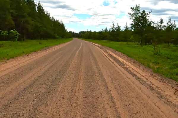
Gorge Cutout is a state owned/ locally maintained, Level-2/ Level-3 forest access route with a surface composition of gravel, sand, dirt, and native material that is prone to seasonal conditions and "sugar sand" spots as it traverses through the dense coniferous & hardwood forest of the Baraga Plain...
Learn more about Gorge Cutout
ORV LB Route - Plains Cutoff
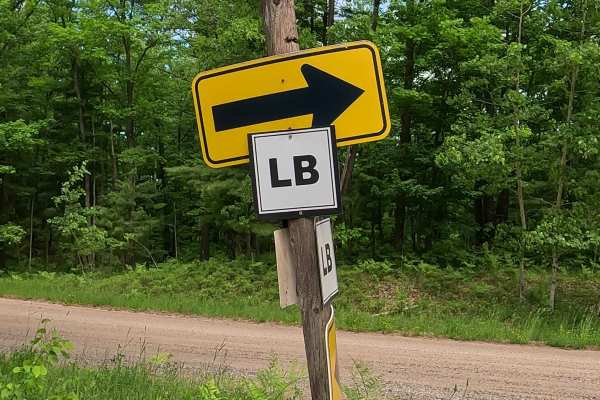
ORV LB Route - Plains Cutoff portion, of the Upper Peninsula's multi segmented ORV LB Route is a designated off-road vehicle (ORV) : ATV/ off-road Motorcycle trail offering a mixture of sandy soil, rocks and hard-packed dirt through heavily wooded forests. The trail is known to be sandy as well as r...
Learn more about ORV LB Route - Plains Cutoff
ATV trails near Mass City, Michigan
Explore ATV-friendly trails near you. These trails are accessible for vehicles up to 50 inches wide, perfect for ATVs and smaller off-road machines.
Caledonia Road
Caledonia Road offers a scenic and moderately challenging point-to-point offroad route near Mass City, Michigan, perfect for drivers seeking a classic Upper Peninsula forest adventure with a touch of mining history. Spanning approximately 4.9 miles, this unmaintained trail cuts through dense woodlan...
Learn more about Caledonia Road
Pike Lake Road
A 2 lane gravel road that winds through the forest of the Western Peninsula. This road is a scenic drive that accesses several lakes, rivers, national and state trails, and public hunting lands. Be aware that the road is often closed in early Spring due to the muddy conditions and frost heaves.
Learn more about Pike Lake Road
Trail P - FDR 655
This section of Trail P navigates from its intersection with Norwich Road and runs to its intersection with Victoria Road. The trail is very scenic, and every time it is ridden, more cool spots that the trail overlooks can be seen. The trail starts off in the woods like the previous sections of Trai...
Learn more about Trail P - FDR 655
FDR 1300 / Markey Lake Road
FDR 1300 / Markey Lake Road is 8.4 miles long and takes about 45 minutes with an average speed of 10.4 MPH including time for trail pictures. This is both FDR 1300 and Markey Lake Road and connects FDR 1334/FDR 1300 with FDR 2200 to loop around the east side of The Sturgeon River Gorge Wilderness.
Learn more about FDR 1300 / Markey Lake Road
UTV/side-by-side trails near Mass City, Michigan
Find UTV and side-by-side trails near you. These trails accommodate vehicles up to 60 inches wide, ideal for UTVs, side-by-sides, and wider off-road rigs.
Caledonia Road
Caledonia Road offers a scenic and moderately challenging point-to-point offroad route near Mass City, Michigan, perfect for drivers seeking a classic Upper Peninsula forest adventure with a touch of mining history. Spanning approximately 4.9 miles, this unmaintained trail cuts through dense woodlan...
Learn more about Caledonia Road
Pike Lake Road
A 2 lane gravel road that winds through the forest of the Western Peninsula. This road is a scenic drive that accesses several lakes, rivers, national and state trails, and public hunting lands. Be aware that the road is often closed in early Spring due to the muddy conditions and frost heaves.
Learn more about Pike Lake Road
Trail P - FDR 655
This section of Trail P navigates from its intersection with Norwich Road and runs to its intersection with Victoria Road. The trail is very scenic, and every time it is ridden, more cool spots that the trail overlooks can be seen. The trail starts off in the woods like the previous sections of Trai...
Learn more about Trail P - FDR 655
FDR 1300 / Markey Lake Road
FDR 1300 / Markey Lake Road is 8.4 miles long and takes about 45 minutes with an average speed of 10.4 MPH including time for trail pictures. This is both FDR 1300 and Markey Lake Road and connects FDR 1334/FDR 1300 with FDR 2200 to loop around the east side of The Sturgeon River Gorge Wilderness.
Learn more about FDR 1300 / Markey Lake Road
The onX Offroad Difference
onX Offroad combines trail photos, descriptions, difficulty ratings, width restrictions, seasonality, and more in a user-friendly interface. Available on all devices, with offline access and full compatibility with CarPlay and Android Auto. Discover what you're missing today!
Open Trail Map