
Dirt Bike Trails
Near Lovell, Wyoming
Explore All Dirt Bike Trails Near Lovell, Wyoming
Dirt Bike Trails Near Lovell, Wyoming
Discover the best dirt bike trails near you. Browse trail maps, check difficulty ratings, and find your next adventure — whether you're looking for a quick ride or an all-day expedition.
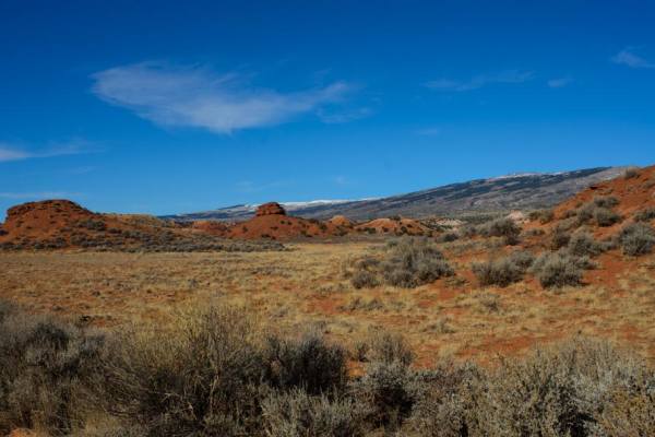
Gyp Springs Road
Gyp Springs Road provides a quick access between Hwy 310 at Warren, Montana to Hwy 37, northeast of Lovell, Wyoming, which leads to the southern end of the Bighorn Canyon National Recreation Area. Gyp Springs Road is a well-maintained gravel road and is accessible throughout most of the year with a ...
Learn more about Gyp Springs Road
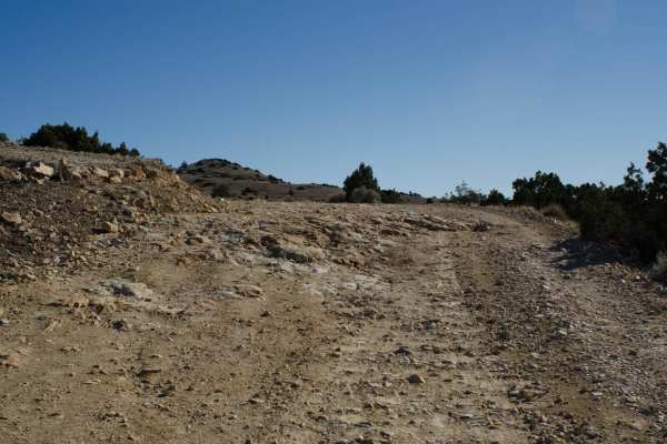
Helt Road
One of the many access routes to the Pryor Mountains, is Helt Road, leaving Warren, MT. Top off your tank in Bridger, MT and head south on Highway 310 to mile marker 5. Turn left (east) at Warren, MT just before the conveyor belt structure crosses above the highway. Turn at the sign that says "Mont...
Learn more about Helt Road
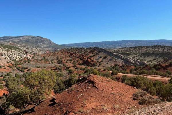
Crooked Creek Road
Crooked Creek Road (1017) is one of the many access routes to the top of the Pryor Mountains. Crooked Creek Road is accessed from the south either by Helt Road (1016) Gyp Spring Road (1015) or Pryor Mountain Road (2308) from the north. Traveling south to north, Crooked Creek Road begins on the Bur...
Learn more about Crooked Creek Road
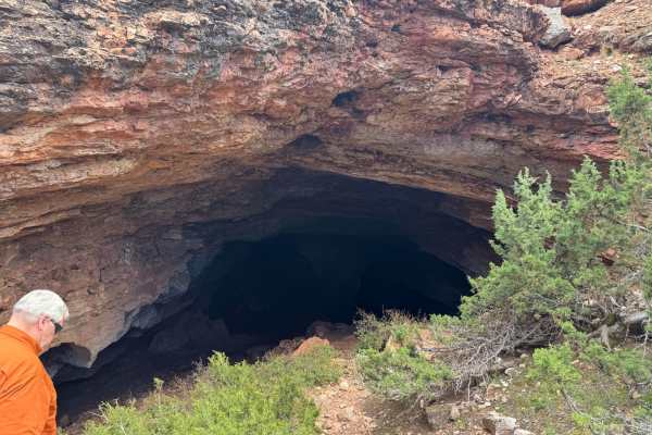
Horsethief Cave
The trail is mostly loose rock with some elevation change and a few mud holes. The trail begins East of the Bighorn Lake and travels up a long incline into the Bighorn National Recreation Area. As you near the cave area at the end, the trail contains some tight sections with vegetation on either sid...
Learn more about Horsethief Cave
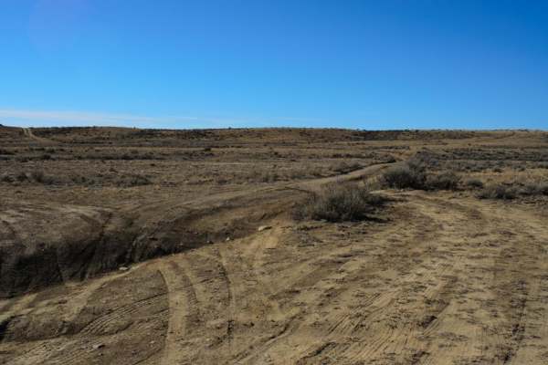
Petroglyphs Canyon Natural Area
One of the unique areas in the Pryor Mountain foothills is the Petroglyph Canyon Natural Area, located off Gyp Spring Roads. Turn south on the dirt two-track road. As soon as you cross the cattle guard, keep right (west). A deep, narrow, less than 12-inch wide erosion feature will need to be crosse...
Learn more about Petroglyphs Canyon Natural Area
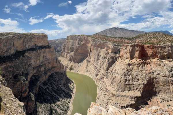
Bighorn Canyon Overlook
This is a 5.6-mile trail leading off from Armpit, Wyoming, and the caves at the top of the Bighorn Range to incredible and remote overlooks of the Bighorn and Devils canyons. The trial traverses a section of high country with expansive views west into Bighorn Basin, and occasionally east into the gr...
Learn more about Bighorn Canyon Overlook
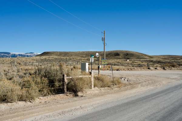
South Railbed Road
South Railbed Road leads south along the Pryor Mountain front to Warren, MT. Windmills are abundant in this area, known as the Pryor Mountain Wind Project. South Railbed Road is well maintained and accessible by most vehicles during the dry season. Due to the lack of gravel in most areas, this roa...
Learn more about South Railbed Road
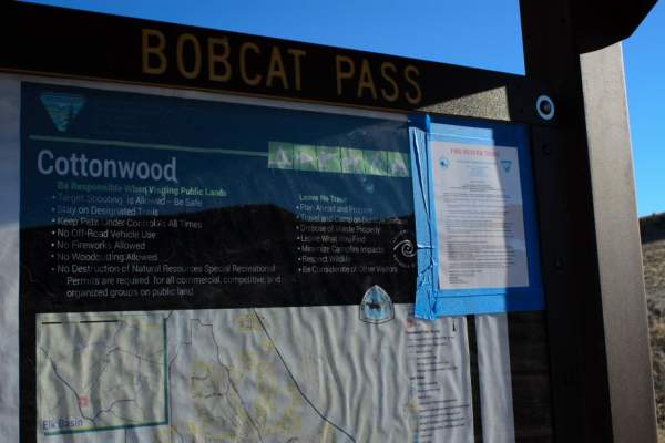
Cottonwood Road
Cottonwood Road, located between Highway 310 and Highway 72, south of Bridger, Montana, provides motorized and OHV access to over 100 square miles of BLM and State land. Bobcat Pass Road, to the west, is accessible by Cottonwood Road and provides miles of braided roads throughout the 100 plus square...
Learn more about Cottonwood Road
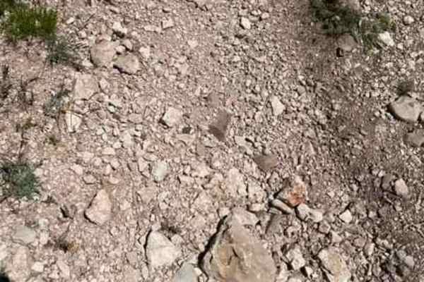
King Trail #2011
King Trail is one of the more challenging routes to get to the top of Pryor Mountain. It is a rugged road that leads up to Stockman Trail and others. It has several steep, loose climbs that will require 4WD and possibly some lift to clear a couple of 18" ledges.
Learn more about King Trail #2011
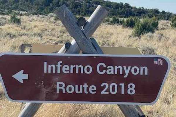
Inferno Canyon
Inferno Canyon is one of many ways to get to the top of Big Pryor Mountain. The top and bottom third of Inferno Canyon are both relatively easy. The middle third is rocky and very loose, with a couple of steep climbs that have several, sometimes large ledges to ascend. If you are in a full-size ...
Learn more about Inferno Canyon
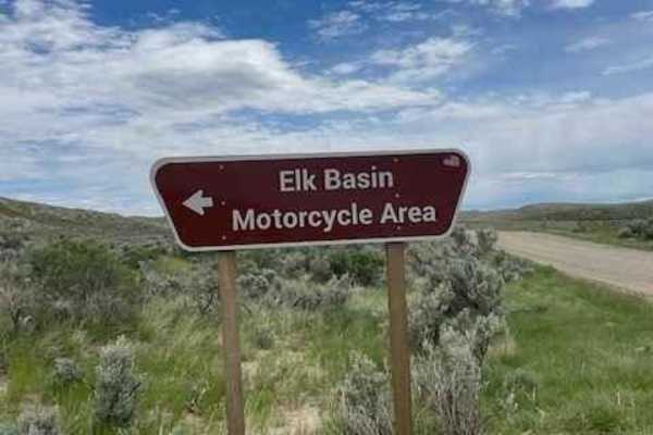
East Basin Road CW 2078
This road cuts right through the Elk Basin Motorcycle Area, so be aware of little kids on motorcycles and four-wheelers. The first three miles of this road are easy, but the last two are what give it the 3 rating. This is where it gets steep and slightly technical. 4WD is necessary to safely naviga...
Learn more about East Basin Road CW 2078
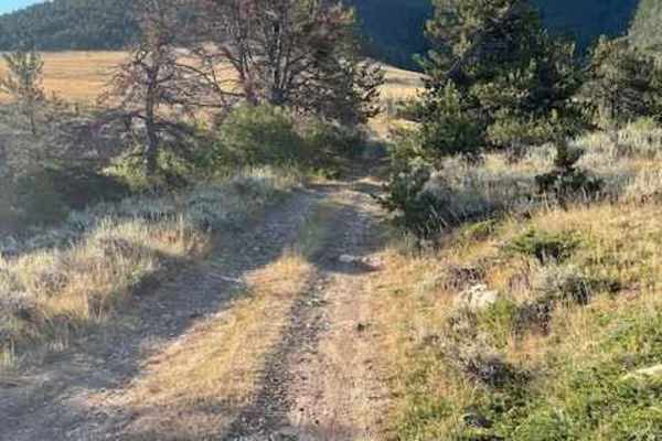
Powerline Road
Powerline Road connects Pryor Mountain Road to Railroad Grade Road. Part of this road lies on BLM land and part of it lies on Custer National Forest Land. The section that is on BLM land is well-maintained and very easy. Once you get to the Custer National Forest section, it is no longer maintained....
Learn more about Powerline Road
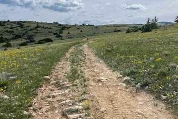
Miller Trail #2496
Miller Trail begins approximately 0.5 miles from the intersection of South Railbed Road and South Pryor Mountain Road. The trail is marked at the top only for some reason, but not at the bottom, so it is easy to miss. There is a nice staging area about 0.25 miles in to unload 4x4s. The trail itself ...
Learn more about Miller Trail #2496
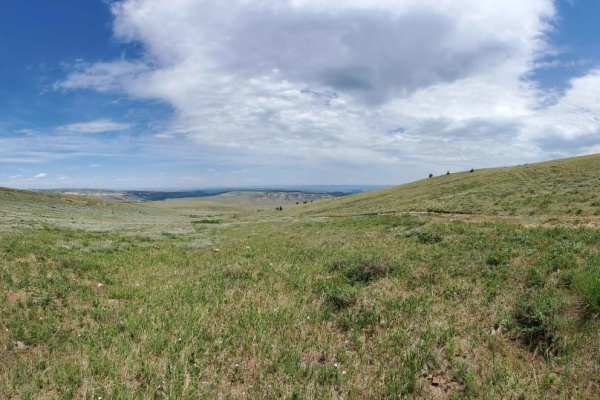
Sheep Mountain
This is a longer drawn out trail that starts out in Devils Canyon and takes you all the way to Montana. The first section of the trail is a gradual climb on gravel, but after that it narrows down to a little over a single vehicle wide and very rocky. As you approach the border it is a long winding d...
Learn more about Sheep Mountain
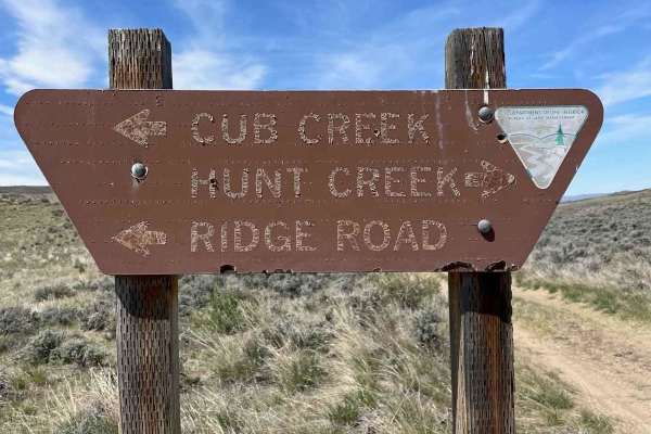
Ridge Road #1005
Ridge Road is the backbone of the Elk Basin area. It starts in Montana and goes into Wyoming. This is mostly an easy route with access to several other trails in the area. There is a great campsite just on the Wyoming side with magnificent views of the Beartooth Mountains. This road is a mess when r...
Learn more about Ridge Road #1005
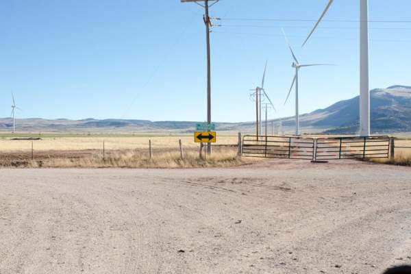
South Pryor Mountain Road
South Pryor Mountain Road is an easy 2.8-mile dirt passage near Bowler, Montana ideal for scenic drivers, beginners and standard passenger vehicles seeking views of the Pryor Mountain Wind Project. Running through open ranchland and agricultural fields, this well-maintained corridor connects Pryor M...
Learn more about South Pryor Mountain Road
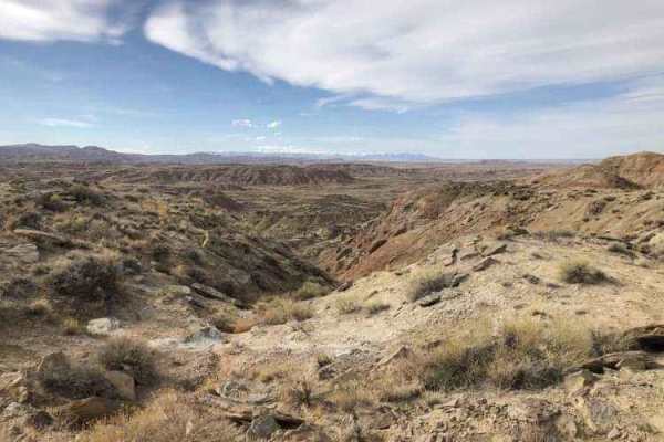
Gilmore Hill
This route passes through the McCullough Peaks Wild Horse range following BLM roads. The Southern section is Gravel road. The Northern section is a maintained dirt road. Regulations require staying 300 feet away from horses and there are signs to remind you. There are beautiful badlands on the N...
Learn more about Gilmore Hill
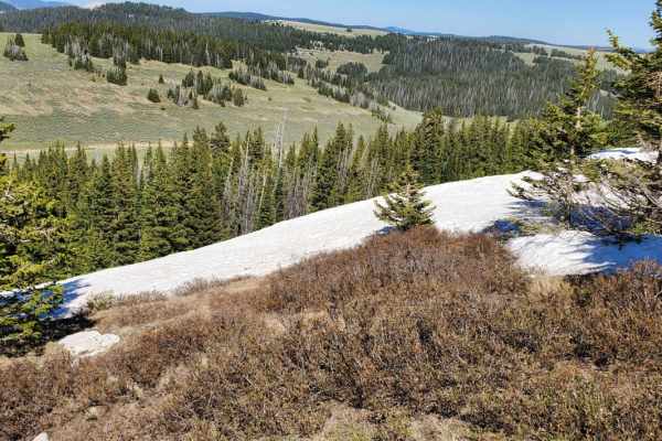
Bald Mountain
A long gravel stretch that has some medium rock spread through some of the higher areas of the trail. This trail passes along the South side of the peak of Bald mountain but is not short on elevation. Because of the higher area and lack of trees the wind will surely feel stronger when you are up her...
Learn more about Bald Mountain
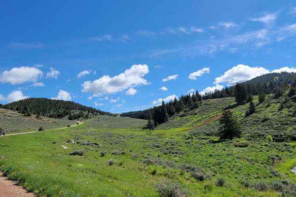
Burgess
Long connecting trail with many spurs that can be taken. This trail is primarily gravel, but some areas do have rocks breaking the surface. It is also traveled by those making their way into the mountain to camp, so it is a wide trail but be on the watch for oncoming or slower vehicles.
Learn more about Burgess
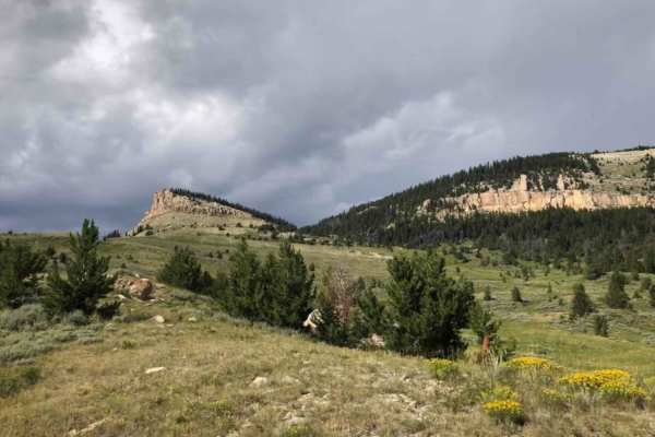
Dugway
This route is a steep scenic climb from the foothills of the Bighorn Mountains to near the top of Hunt Mountain which sits 10,000 feet above sea level. At various points on the road, you can see across the Bighorn Basin as you pass through forested areas. As you near the top, you get above the tre...
Learn more about Dugway
ATV trails near Lovell, Wyoming
Explore ATV-friendly trails near you. These trails are accessible for vehicles up to 50 inches wide, perfect for ATVs and smaller off-road machines.
Gyp Springs Road
Gyp Springs Road provides a quick access between Hwy 310 at Warren, Montana to Hwy 37, northeast of Lovell, Wyoming, which leads to the southern end of the Bighorn Canyon National Recreation Area. Gyp Springs Road is a well-maintained gravel road and is accessible throughout most of the year with a ...
Learn more about Gyp Springs Road
Helt Road
One of the many access routes to the Pryor Mountains, is Helt Road, leaving Warren, MT. Top off your tank in Bridger, MT and head south on Highway 310 to mile marker 5. Turn left (east) at Warren, MT just before the conveyor belt structure crosses above the highway. Turn at the sign that says "Mont...
Learn more about Helt Road
Crooked Creek Road
Crooked Creek Road (1017) is one of the many access routes to the top of the Pryor Mountains. Crooked Creek Road is accessed from the south either by Helt Road (1016) Gyp Spring Road (1015) or Pryor Mountain Road (2308) from the north. Traveling south to north, Crooked Creek Road begins on the Bur...
Learn more about Crooked Creek Road
Horsethief Cave
The trail is mostly loose rock with some elevation change and a few mud holes. The trail begins East of the Bighorn Lake and travels up a long incline into the Bighorn National Recreation Area. As you near the cave area at the end, the trail contains some tight sections with vegetation on either sid...
Learn more about Horsethief Cave
UTV/side-by-side trails near Lovell, Wyoming
Find UTV and side-by-side trails near you. These trails accommodate vehicles up to 60 inches wide, ideal for UTVs, side-by-sides, and wider off-road rigs.
Crooked Creek Road
Crooked Creek Road (1017) is one of the many access routes to the top of the Pryor Mountains. Crooked Creek Road is accessed from the south either by Helt Road (1016) Gyp Spring Road (1015) or Pryor Mountain Road (2308) from the north. Traveling south to north, Crooked Creek Road begins on the Bur...
Learn more about Crooked Creek Road
Horsethief Cave
The trail is mostly loose rock with some elevation change and a few mud holes. The trail begins East of the Bighorn Lake and travels up a long incline into the Bighorn National Recreation Area. As you near the cave area at the end, the trail contains some tight sections with vegetation on either sid...
Learn more about Horsethief Cave
Bighorn Canyon Overlook
This is a 5.6-mile trail leading off from Armpit, Wyoming, and the caves at the top of the Bighorn Range to incredible and remote overlooks of the Bighorn and Devils canyons. The trial traverses a section of high country with expansive views west into Bighorn Basin, and occasionally east into the gr...
Learn more about Bighorn Canyon Overlook
King Trail #2011
King Trail is one of the more challenging routes to get to the top of Pryor Mountain. It is a rugged road that leads up to Stockman Trail and others. It has several steep, loose climbs that will require 4WD and possibly some lift to clear a couple of 18" ledges.
Learn more about King Trail #2011
The onX Offroad Difference
onX Offroad combines trail photos, descriptions, difficulty ratings, width restrictions, seasonality, and more in a user-friendly interface. Available on all devices, with offline access and full compatibility with CarPlay and Android Auto. Discover what you're missing today!
Open Trail Map