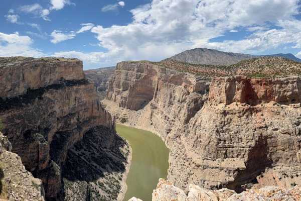
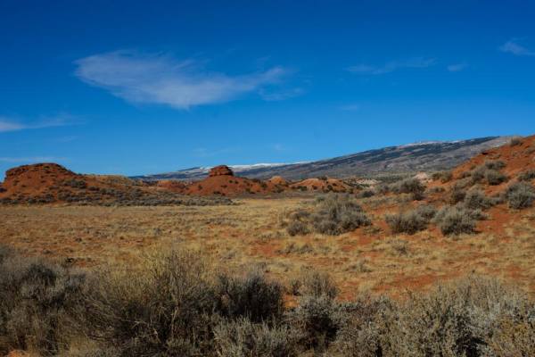
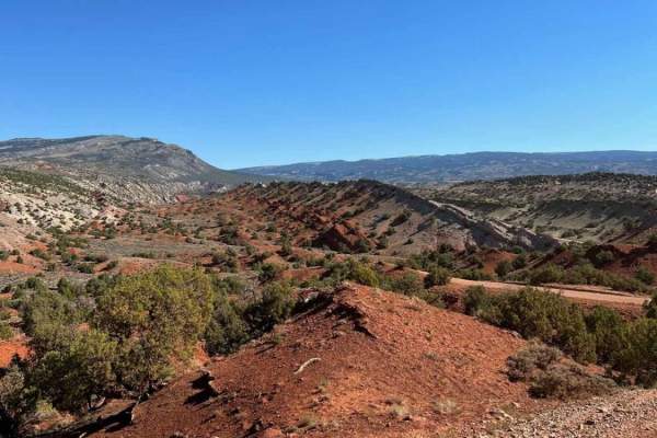
Trail Overview
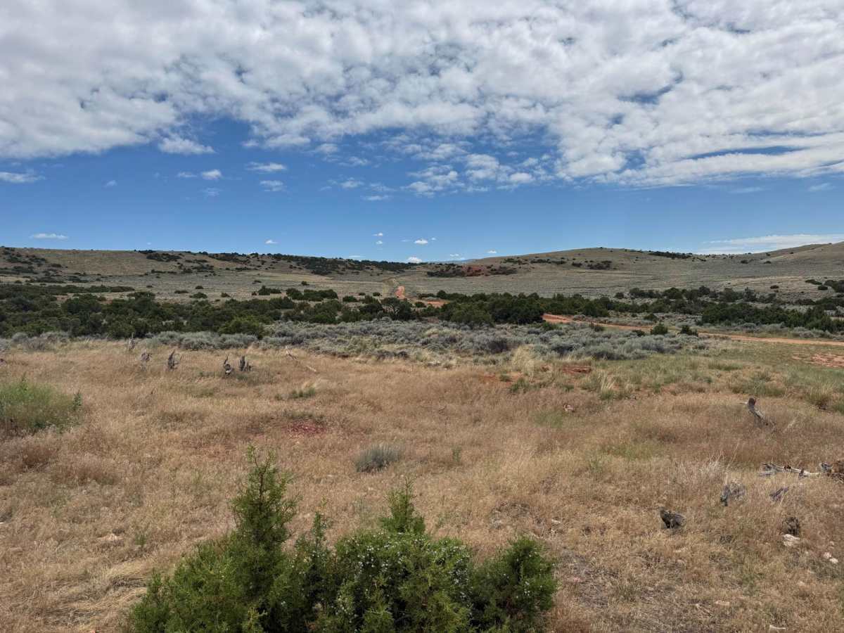
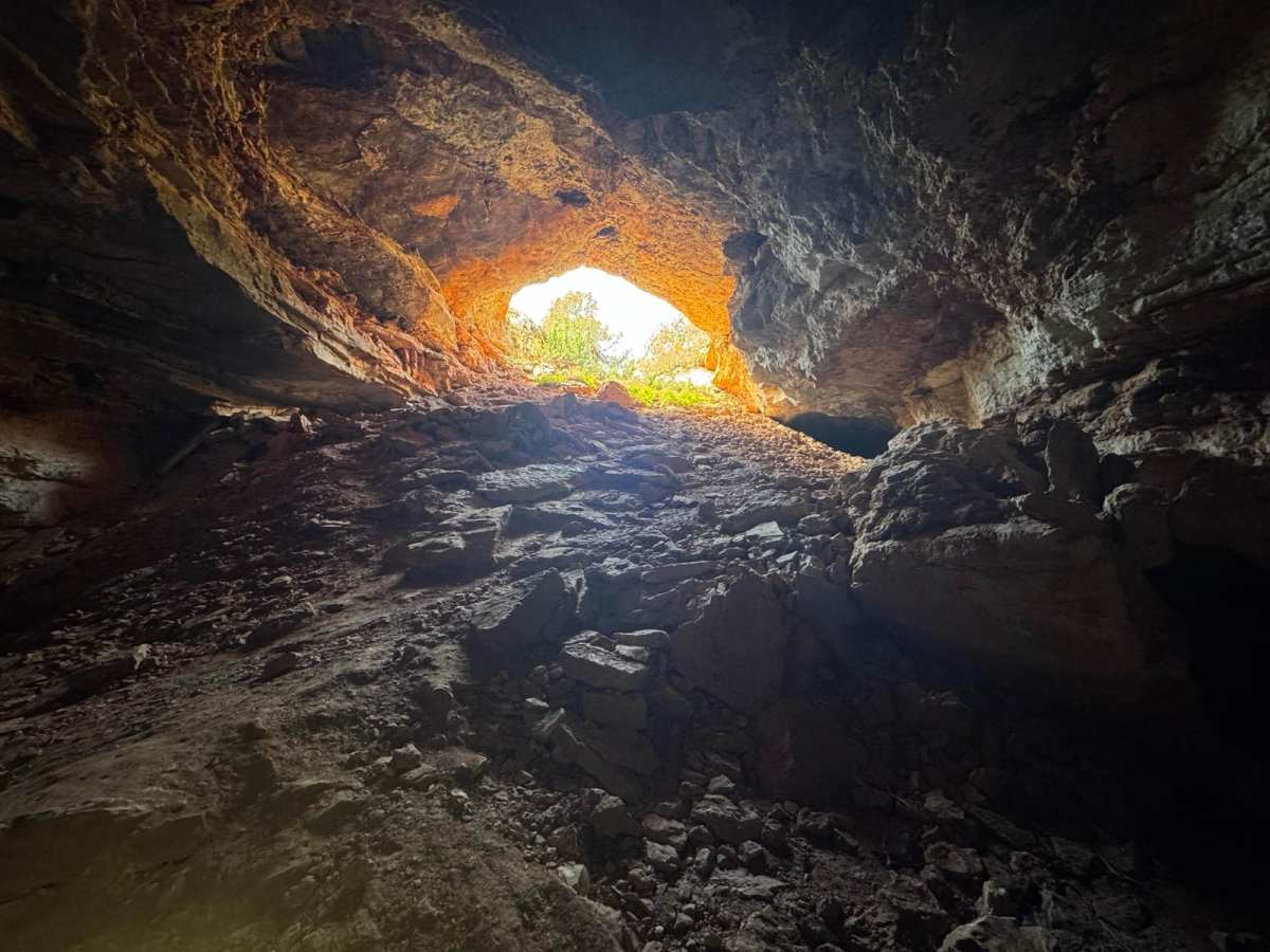
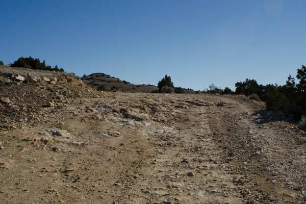
The trail is mostly loose rock with some elevation change and a few mud holes. The trail begins East of the Bighorn Lake and travels up a long incline into the Bighorn National Recreation Area. As you near the cave area at the end, the trail contains some tight sections with vegetation on either side, and a few rock and ledge obstacles.
Difficulty
Most of the trail is a decent rock/gravel road, with a few muddles, and some small ledges and/or rocks to navigate in the highest sections.
History
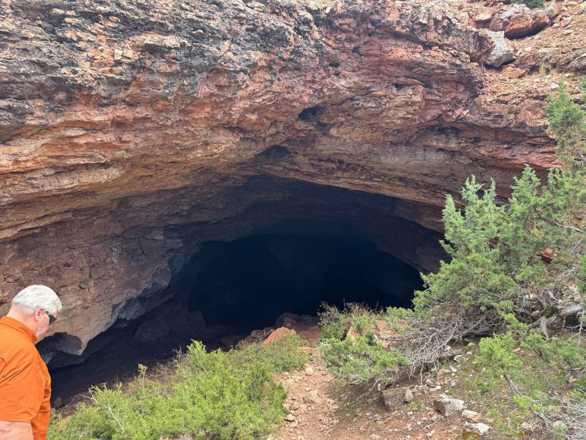
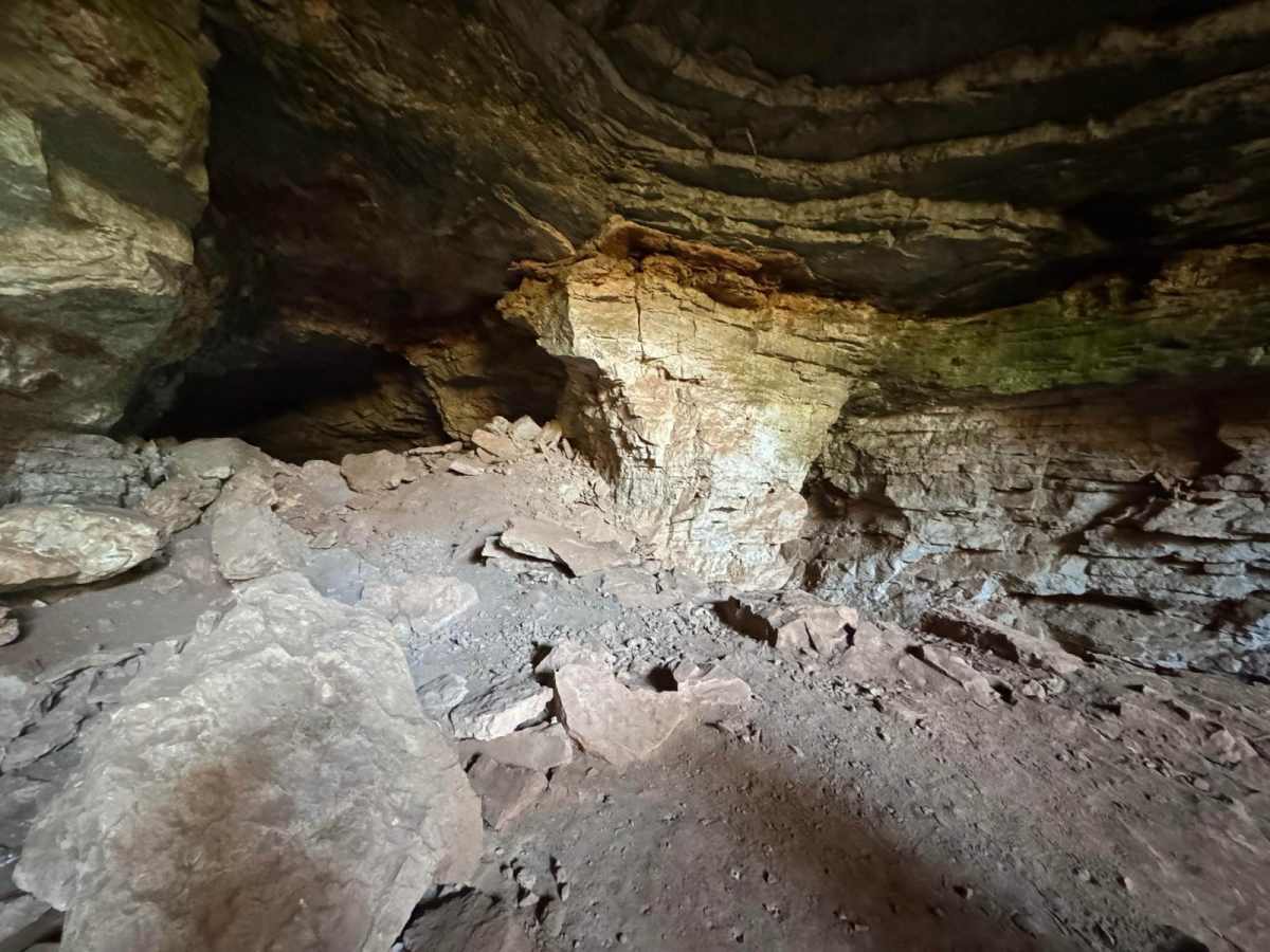
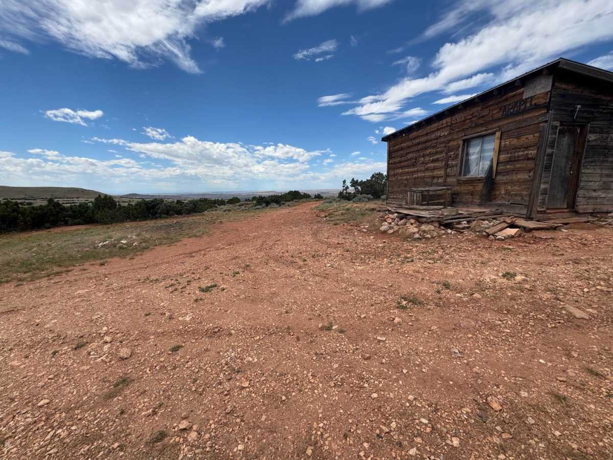
The road was built specifically to access the uranium mines near Armpit. Remnants of the mines still exist today. Horsethief Cave was used in the late 1800s and early 1900s by horse rustlers. It's part of the largest cave network in Wyoming and spans into Montana with over 20 miles of passages. Armpit started as a mining camp, but now serves as a launching point for scientists studying the caves and prehistoric remains of creatures trapped inside. Several scientific excavations have turned up fossils such as camel, lion, short-faced bear, collared lemming, cheetah, and mammoth. Over 30,000 different specimens, including flora and fauna, have been gathered from the trap over the years, some as old as 20,000 years.