Trail Overview
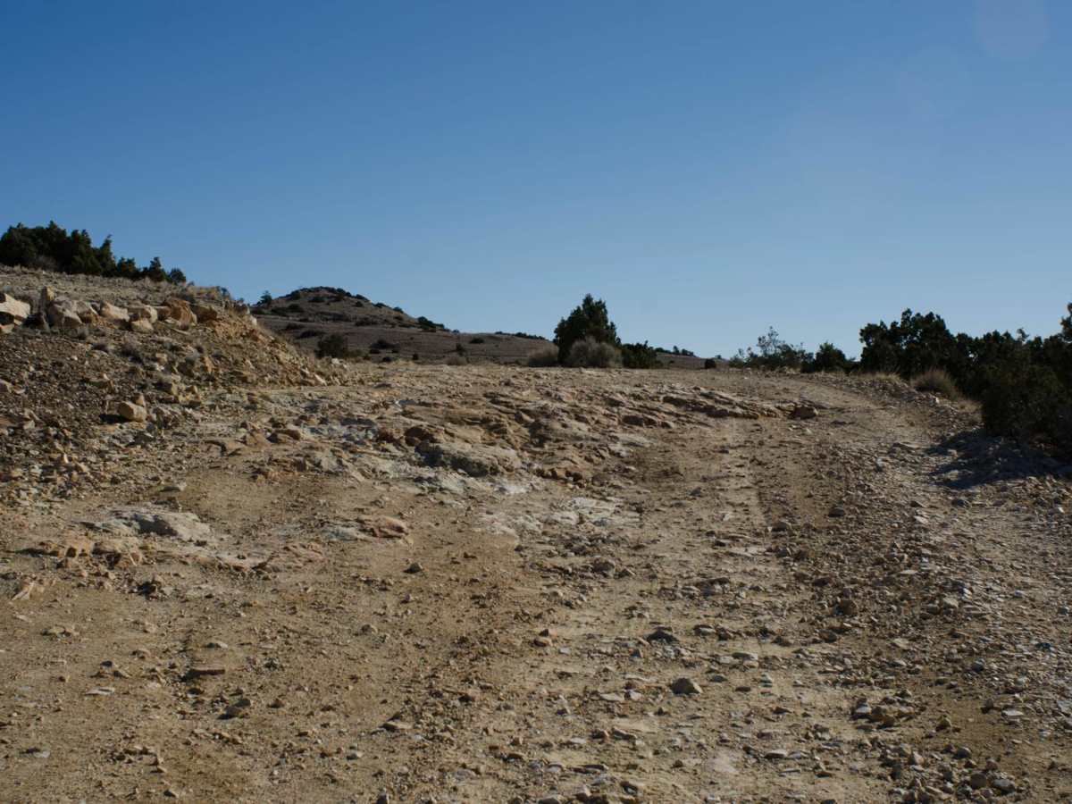
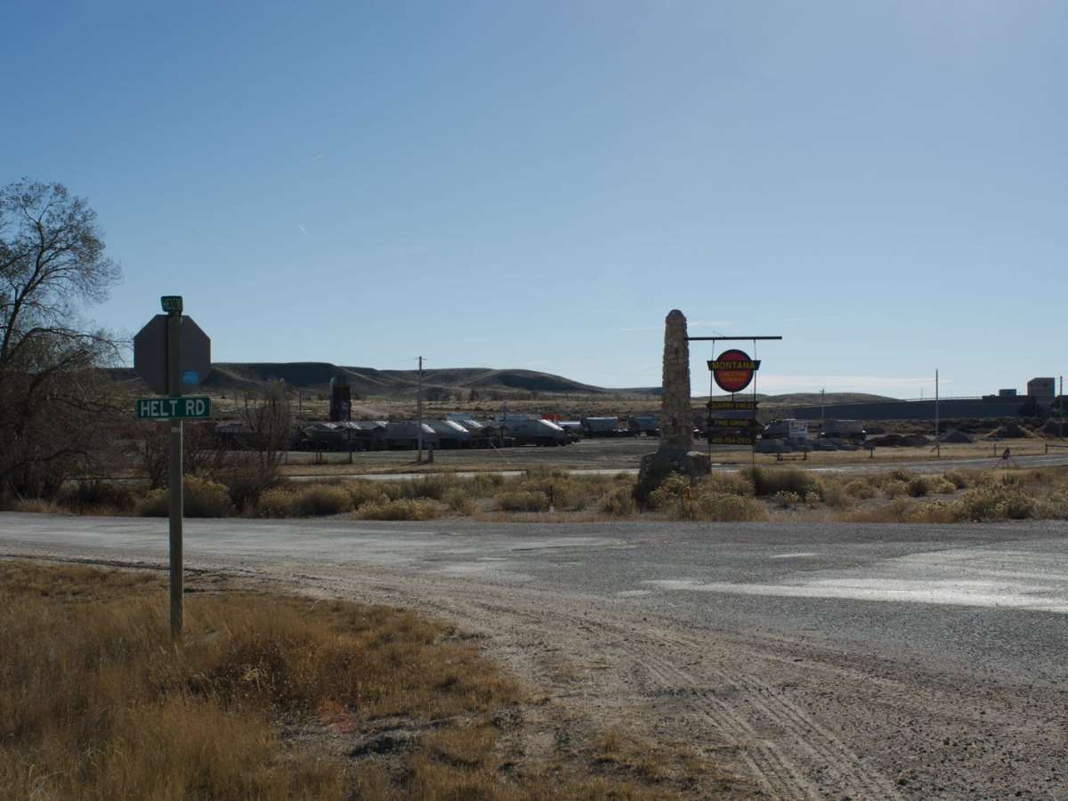
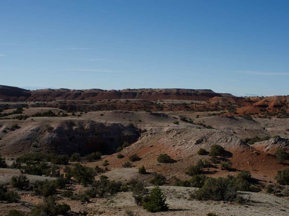
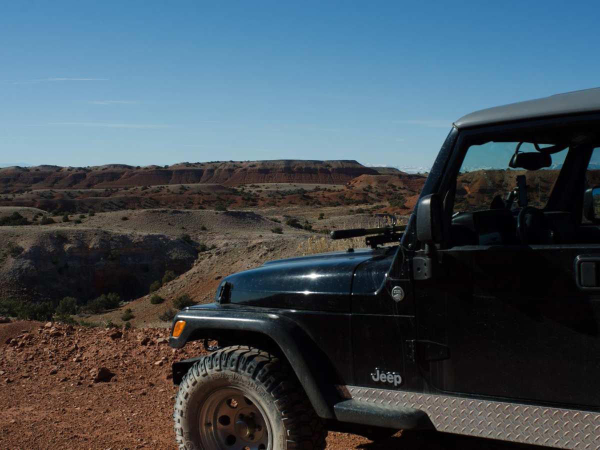
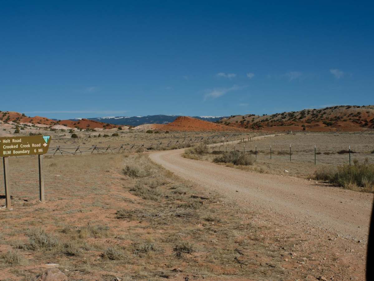
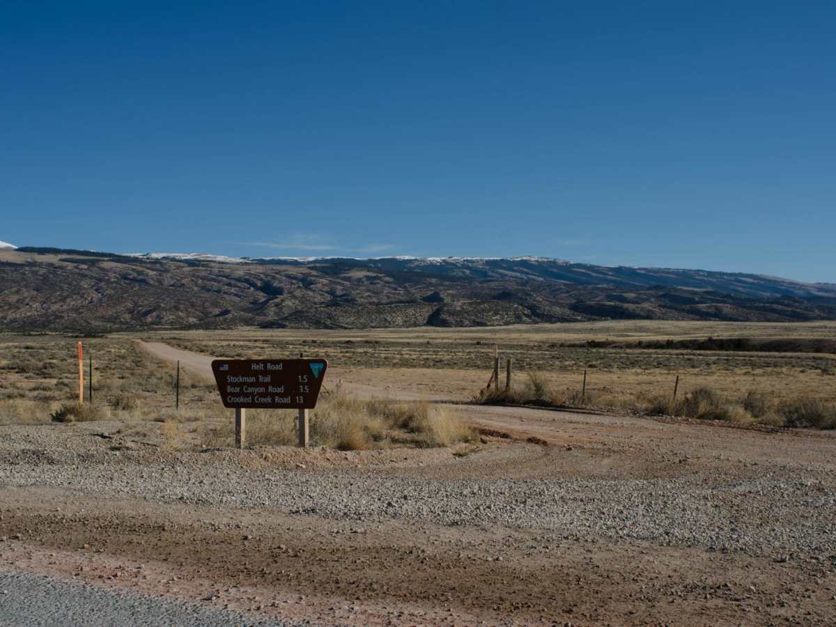
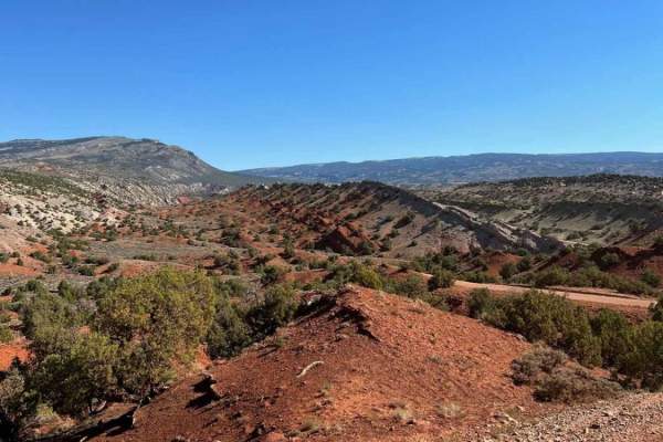
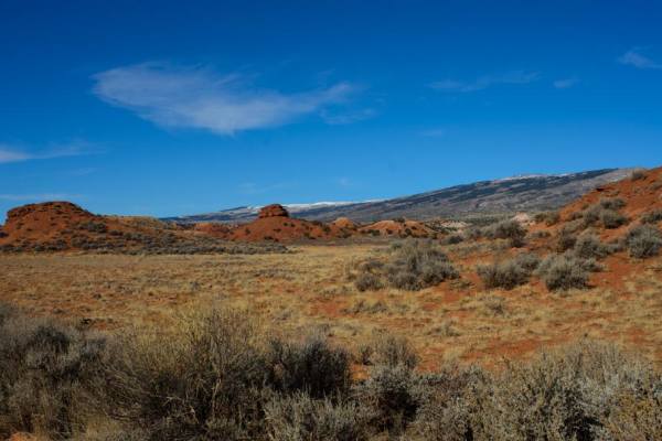
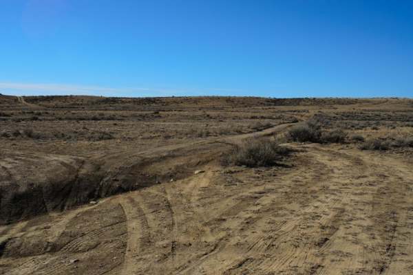
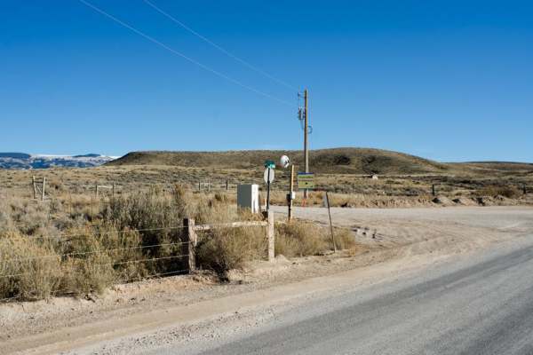
One of the many access routes to the Pryor Mountains, is Helt Road, leaving Warren, MT. Top off your tank in Bridger, MT and head south on Highway 310 to mile marker 5. Turn left (east) at Warren, MT just before the conveyor belt structure crosses above the highway. Turn at the sign that says "Montana Limestone Company." Follow the paved road for approximately 3 miles. Watch for heavy truck traffic on the paved road. As the paved road turns 90 degrees left (north), a BLM sign will say the following: Helt Road; Stockman Trail 1.5 (miles); Bear Canyon Road 3.5 (miles); Crooked Creek Road 13 (miles). Turn off the paved road onto the gravel at the sign. Continue to follow the gravel road until you come to the Pryor Mountains BLM Kiosk. Helt Road (1016) provides access to many public access trails into the Pryor Mountains. Parking and dispersed camping is available along Helt Road (1016). Continuing on Helt Road (1016). The following roads will intersect Helt Road (1016) heading off to the northeast: Graham Trail (2013), Stockman Trail (2850), and Bear Canyon Trail (1014). Helt Road (1016) will come to a "Y" with Gyp Springs Road (1015) to the right (southeast). A BLM sign will say the following: Helt Rd/BLM Rd 1016; Crooked Creek Rd/BLM Rd 1017 9 (miles); Gyp Spring Rd/BLM Rd 1015; Gyp Spring 7 (miles). Continuing on Helt Road (1016), the following roads will intersect Helt Road (1016) to the northeast: Horse Have Road (1021); East Horse Haven Road (1030); Red Pryor Road (1022) Crooked Creek Rd (1017). Between East Horse Have (1030) and Red Pryor Road (1022), the road will gradually ascend in elevation. A short section of bedrock is exposed just before a blind corner. Depending the amount of use of Helt road, the bedrock can expose 3 inches to 6 inches of rock ledges that may be difficult to traverse with a low clearance vehicle (Location 45.05727, -108.45061). Just beyond Red Pryor Road (1022) the road begins to descend. Take advantage of the vista points in this area to see the Big Horn Mountains, to the southeast, the Triassic Chugwater Formation (Red Hills) and the Beartooth Mountains to the west. Narrow single lane areas and blind corners will be encountered during the gradual descent through the red Chugwater Formation. Helt Road (1016) will come to a junction with Crooked Creek Road (1017) to the Northeast. Continue south until Helt Road (1016) terminates at Gyp Springs Road (1015) at the point where there is another Pryor Mountains BLM Kiosk. Helt Road (1016) is pretty well maintained, however the road is very popular and does see a high volume of SUVs, SxSs, ATVs, and dirt bikes. This area is very picturesque. Grab a rockhounding book for this area as there are lots fossils to find throughout the area. Cellular coverage is available throughout most of the route.