South Pryor Mountain Road

Total Miles2.8
Technical Rating
1Easy
Best TimeSpring, Summer, Fall, Winter
Trail TypeFull-Width Road
Accessible By
Open Trail Map

Trail Overview

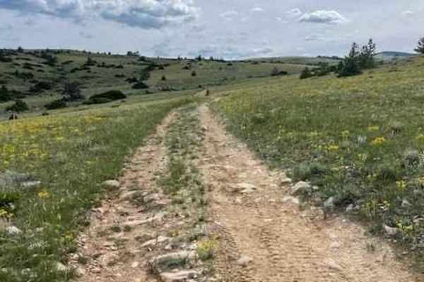
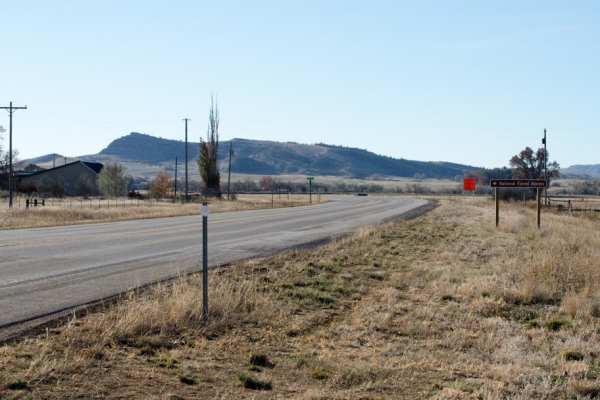
South Pryor Mountain Road is an easy 2.8-mile dirt passage near Bowler, Montana ideal for scenic drivers, beginners and standard passenger vehicles seeking views of the Pryor Mountain Wind Project. Running through open ranchland and agricultural fields, this well-maintained corridor connects Pryor Mountain Road to Railroad Grade Road, which ultimately leads toward Warren. The route maintains a very flat profile with less than 40 feet of total elevation gain, starting at 4,725 feet near Bowler and ending at 4,651 feet near Sage Creek. With a technical rating of 1, this dirt route is passable by two-wheel-drive vehicles during dry conditions. Cellular coverage is available along the entire length of the trail. After heading south from Bowler the road makes a 90-degree turn east onto Railroad Grade Road, crossing Sage Creek and terminating at a north-south county road. This short connector serves as an entry point for exploring the wider Pryor Mountains region.

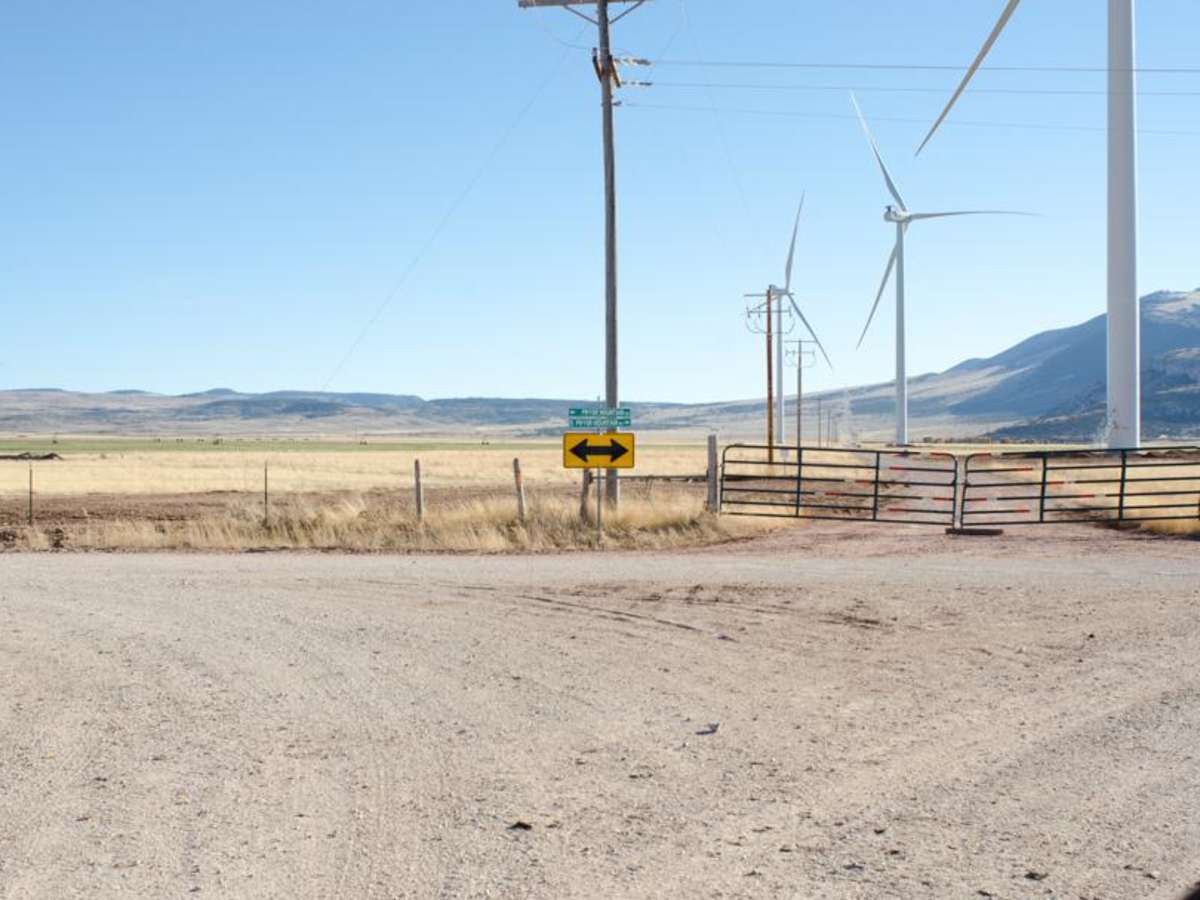
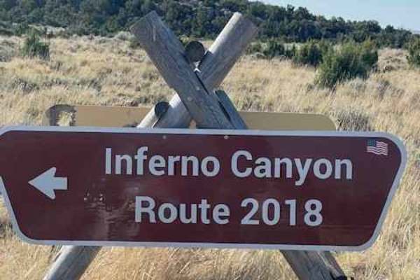
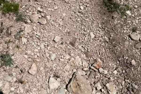
Photos of South Pryor Mountain Road

Difficulty

This is a short dirt road.

Technical Rating

1

South Pryor Mountain Road Trail can be accessed by the following ride types:

  • Single Track
  • 50 Inch
  • High Clearance
  • Full Width

Access Description

The road is well-maintained and accessible by most two-wheel-drive and standard passenger vehicles during the dry season. Wet weather can make the unpaved surface slick and muddy. Cellular coverage is reliable along the entire route.

South Pryor Mountain Road Map

The onX Offroad Difference

onX Offroad combines trail photos, descriptions, difficulty ratings, width restrictions, seasonality, and more in a user-friendly interface. Available on all devices, with offline access and full compatibility with CarPlay and Android Auto. Discover what you're missing today!

Open Trail Map