
Dirt Bike Trails
Near Larkspur, Colorado
Explore All Dirt Bike Trails Near Larkspur, Colorado
Dirt Bike Trails Near Larkspur, Colorado
Discover the best dirt bike trails near you. Browse trail maps, check difficulty ratings, and find your next adventure — whether you're looking for a quick ride or an all-day expedition.
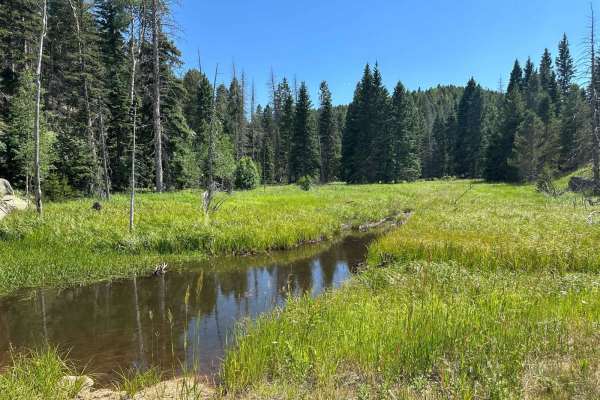
Gove Creek Road
Gove Creek Road, just off Rampart Range Road in Pike National Forest, offers a secluded and serene camping experience with lighter summer traffic than its neighbors and stunning exposed granite formations. This trail provides vibrant wildflowers in summer and beautiful autumn aspens, perfect for tho...
Learn more about Gove Creek Road
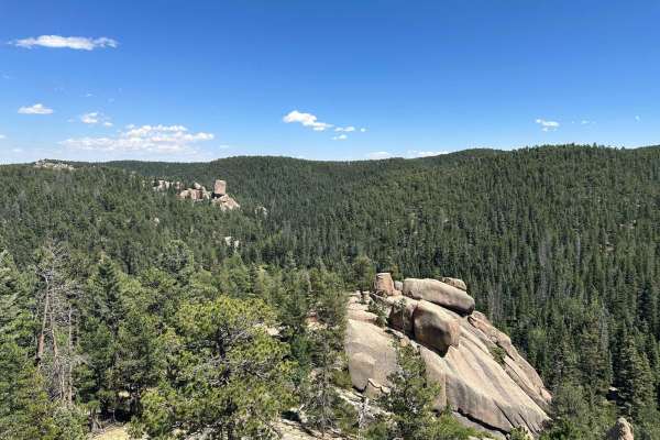
Plum Creek Road
Plum Creek is one of the many spurs off Rampart Range Road. The easy trail is a great place to camp with no reservations or fees. The nature of the trail is fairly close, so beware of pinstripes if you're so inclined. The end of this trail is the best part - a massive round boulder allows for panora...
Learn more about Plum Creek Road
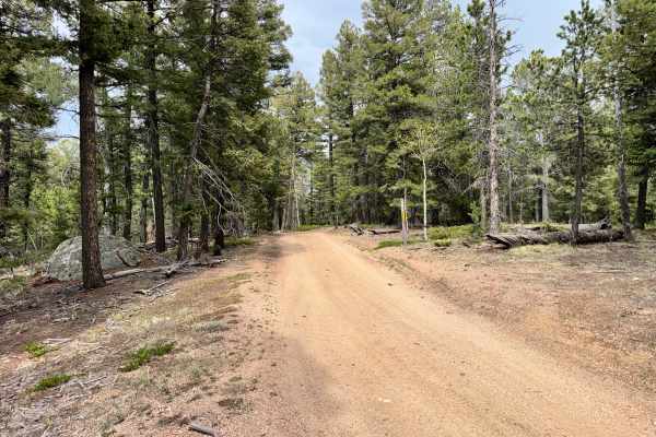
County Line Rd (FS324B)
County Line Rd (FS324) is a lower-end moderate trail with mostly easy terrain but a few tighter and more technical sections mixed in. The route features narrow tree-lined areas where wider vehicles may need to fold in mirrors, along with a few off-camber sections and uneven terrain that require care...
Learn more about County Line Rd (FS324B)
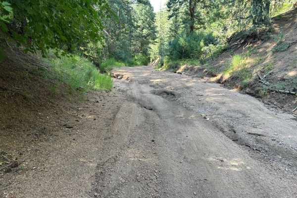
West Jackson Creek Road to Hidden Valley Road
Hidden Valley Road offers a range of conditions depending on the severity of erosion. It can vary from a rugged trail with numerous washouts to a smooth, mellow dirt road. In the summer after a dry spring, the trail was notably smooth and well-maintained. The trail is mostly through private land and...
Learn more about West Jackson Creek Road to Hidden Valley Road
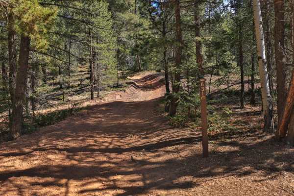
Fern 3- Rampart Range
This is a scenic, technical and tricky 2.8-mile long trail with maximum vehicle width of 50". The main obstacles, particularly on the northern half of the trails, are trees, tree roots, off-camber tight turns on steep inclines and boulders up to 3 feet tall to traverse over. Climbs and descents, w...
Learn more about Fern 3- Rampart Range

770 Watson Park
The Watson Park single track is an advanced trail due to very narrow sections through tight trees and technical rocky sections. It runs north to south between Rampart Range Road and Watson Park Road. There are also more sections of single track on either side of this trail, Bergen Rock Trail to the ...
Learn more about 770 Watson Park

679 Tornado Alley
Tornado Alley is a technical single track in Rampart Range with several advanced rock problems. Starting on Jackson Creek South Road, it crosses over the creek on a wooden bridge and then climbs straight up from the creek. It's steep and would be a tricky climb for an inexperienced rider. It continu...
Learn more about 679 Tornado Alley
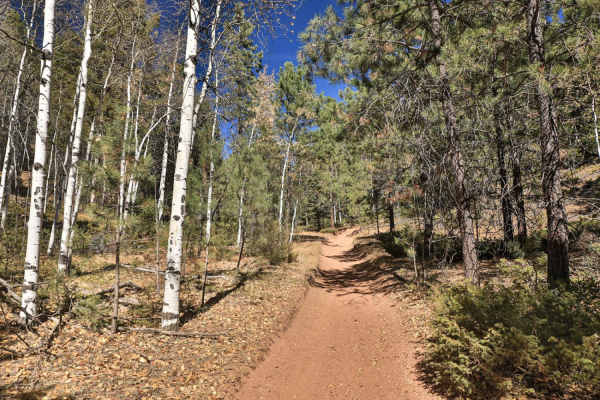
Fern 2- Rampart Range
This is a scenic and fun 2-mile long trail on mostly crushed granite and dirt. Except for a short, steeper grade at the northern end of the trail, the trail has a gentle grade throughout most of its length. Unlike its other sibling Fern 3, Fern 2 is a great introduction to the rider looking for a p...
Learn more about Fern 2- Rampart Range
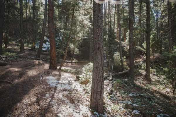
788 ATV Trail
This ATV trail runs east to west through the Rampart Range Recreation Area and is designated for ATVs 50 inches or less. The east end starts at a small dirt trailhead off of Jackson Creek Road, then it crosses Tomahawk about 1.2 miles in from the east trailhead. It's a shelfy wide trail with lots of...
Learn more about 788 ATV Trail
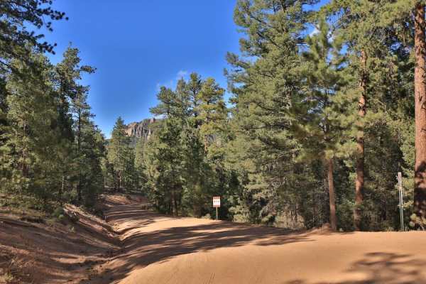
Jackson Creek South/ Watson Park
Jackson Creek South, and to some extent Watson Park are smooth, very easy wide roads that are worth exploring for the scenery and access to dispersed camping, but they also serve as access points for the northern portion of the Rampart Range trails. These two trails are typically done together. Wats...
Learn more about Jackson Creek South/ Watson Park
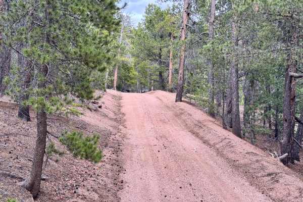
Saylor Park Rd FS 325
Saylor Park Rd is a fairly easy trail best suited for high-clearance vehicles due to occasional uneven terrain and small ruts along the route. The trail offers excellent dispersed camping throughout the area and finishes with a fun hill climb that adds a little extra challenge without becoming too t...
Learn more about Saylor Park Rd FS 325

685 Tomahawk ATV Trail
Tomahawk is a 3.3-mile-long ATV trail in Rampart Range that is easy the whole way. It's easy because it's really wide with no obstacles. It's on a pea-gravel surface that can be a bit slippery at times, and there are a few troughs to watch out for. The trail is braided at times when there are ruts. ...
Learn more about 685 Tomahawk ATV Trail
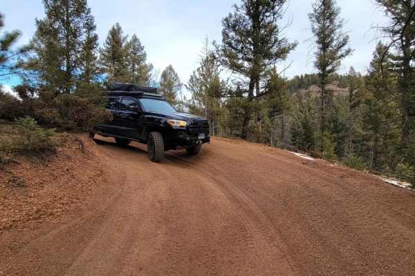
Missouri Gulch - FR 347
Starting from County Road 79 (Spruce Dr), the trail meanders through the forest. There are many spur trails and interconnected trail systems that could make it easy to become disoriented, especially once you get into the Rainbow Falls Off-Road area. Missouri Gulch is a fairly easy trail with a few g...
Learn more about Missouri Gulch - FR 347
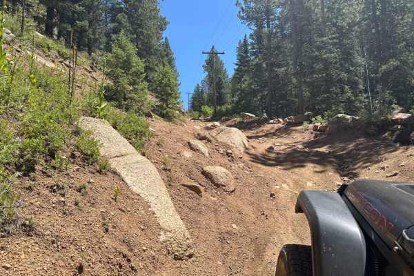
Fern Creek Road
Surrounded by the expansive Rampart Range network, Fern Creek seems unassuming from its trailhead but provides an exciting connector for those seeking pockets of slightly more technical terrain. You'll find rolling whoops, steep rocky descents or ascents, access to multiple ATV trails, and interesti...
Learn more about Fern Creek Road
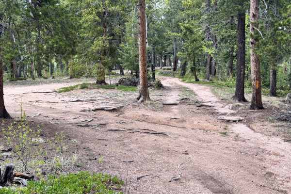
FS 929
FS 929 is an easy out-and-back forest trail with smooth dirt terrain, light roots, and minor ruts throughout the route. The trail winds through dense pine and aspen trees with a few tight sections, but overall remains very manageable for most high-clearance 4x4s. There is currently a downed tree acr...
Learn more about FS 929

681 Scotty's ATV Trail
Scotty's ATV Trail is a 4.5-mile trail designated for vehicles 50 inches or less in the Rampart Range Recreation Area. The trail is relatively easy for the entire track. It's pretty troughed out in areas, with a deep rut through the middle of the trail, so dirt bikers and ATVers will need to pick th...
Learn more about 681 Scotty's ATV Trail
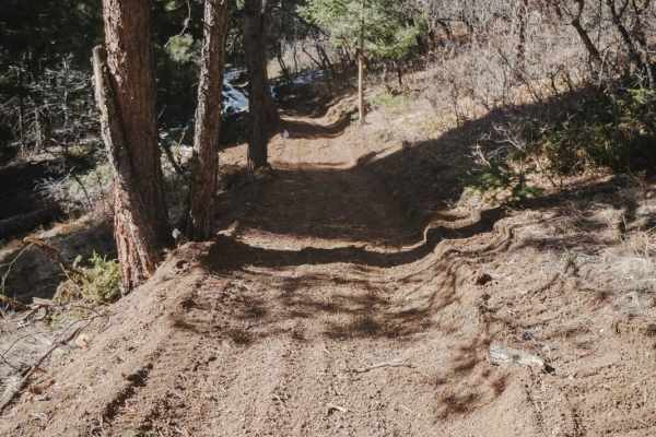
Scotty's Cutoff ATV Trail
This is a short detour around a big hill climb on Scotty's ATV Trail. It's easier than the section of Scotty's that it parallels. This section of trail has been freshly made through a pine trees forest. It's a wide two-track with light curves, and pine trees closely lining the trail. It's mostly fla...
Learn more about Scotty's Cutoff ATV Trail
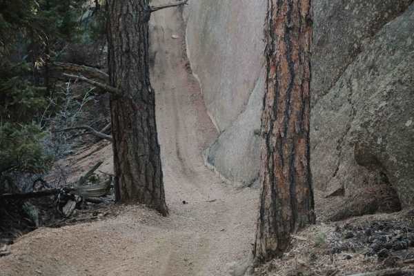
679 Dutch Fred ATV Trail
Dutch Fred Trail is a 4.7-mile-long two-track that starts at the Dutch Fred Trailhead off Rampart Range Road and goes south to connect to Jackson Creek South Road. It goes through a pine tree forest with huge granite boulders, on somewhat of a sloped trail with tons of pea gravel. It has tons of tig...
Learn more about 679 Dutch Fred ATV Trail
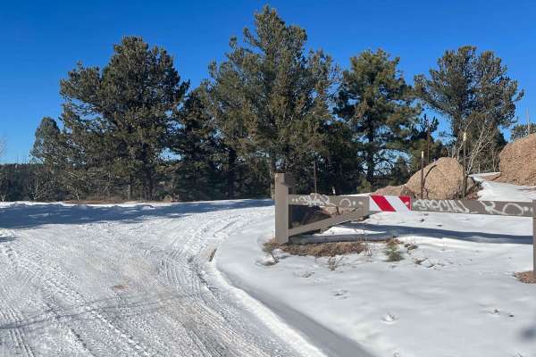
Herman Spur 1 North Road - 320.A
This is a spur road for camping, views, and wandering. Bring a lunch and stop here on your way to explore more of the Rampart Range. There are several large campsites that can accommodate multiple vehicles. Head up the Main Mount Herman road toward the 300 Rampart Range. There are also a few spots t...
Learn more about Herman Spur 1 North Road - 320.A
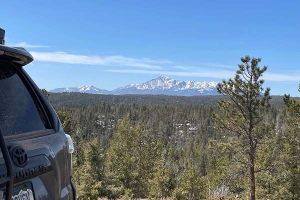
Winding Stairs-Ice Cave Loop
Winding Stairs-Ice Cave Loop is a scenic, moderately easy off-road adventure perfect for drivers of stock four-wheel-drive vehicles and SxSs looking to explore the beautiful pine forests of Colorado's Rampart Range. Spanning approximately 7.9 miles, this loop utilizes Forest Service Roads 323 and 32...
Learn more about Winding Stairs-Ice Cave Loop
ATV trails near Larkspur, Colorado
Explore ATV-friendly trails near you. These trails are accessible for vehicles up to 50 inches wide, perfect for ATVs and smaller off-road machines.
Gove Creek Road
Gove Creek Road, just off Rampart Range Road in Pike National Forest, offers a secluded and serene camping experience with lighter summer traffic than its neighbors and stunning exposed granite formations. This trail provides vibrant wildflowers in summer and beautiful autumn aspens, perfect for tho...
Learn more about Gove Creek Road
Plum Creek Road
Plum Creek is one of the many spurs off Rampart Range Road. The easy trail is a great place to camp with no reservations or fees. The nature of the trail is fairly close, so beware of pinstripes if you're so inclined. The end of this trail is the best part - a massive round boulder allows for panora...
Learn more about Plum Creek Road
County Line Rd (FS324B)
County Line Rd (FS324) is a lower-end moderate trail with mostly easy terrain but a few tighter and more technical sections mixed in. The route features narrow tree-lined areas where wider vehicles may need to fold in mirrors, along with a few off-camber sections and uneven terrain that require care...
Learn more about County Line Rd (FS324B)
West Jackson Creek Road to Hidden Valley Road
Hidden Valley Road offers a range of conditions depending on the severity of erosion. It can vary from a rugged trail with numerous washouts to a smooth, mellow dirt road. In the summer after a dry spring, the trail was notably smooth and well-maintained. The trail is mostly through private land and...
Learn more about West Jackson Creek Road to Hidden Valley Road
UTV/side-by-side trails near Larkspur, Colorado
Find UTV and side-by-side trails near you. These trails accommodate vehicles up to 60 inches wide, ideal for UTVs, side-by-sides, and wider off-road rigs.
Gove Creek Road
Gove Creek Road, just off Rampart Range Road in Pike National Forest, offers a secluded and serene camping experience with lighter summer traffic than its neighbors and stunning exposed granite formations. This trail provides vibrant wildflowers in summer and beautiful autumn aspens, perfect for tho...
Learn more about Gove Creek Road
Plum Creek Road
Plum Creek is one of the many spurs off Rampart Range Road. The easy trail is a great place to camp with no reservations or fees. The nature of the trail is fairly close, so beware of pinstripes if you're so inclined. The end of this trail is the best part - a massive round boulder allows for panora...
Learn more about Plum Creek Road
County Line Rd (FS324B)
County Line Rd (FS324) is a lower-end moderate trail with mostly easy terrain but a few tighter and more technical sections mixed in. The route features narrow tree-lined areas where wider vehicles may need to fold in mirrors, along with a few off-camber sections and uneven terrain that require care...
Learn more about County Line Rd (FS324B)
West Jackson Creek Road to Hidden Valley Road
Hidden Valley Road offers a range of conditions depending on the severity of erosion. It can vary from a rugged trail with numerous washouts to a smooth, mellow dirt road. In the summer after a dry spring, the trail was notably smooth and well-maintained. The trail is mostly through private land and...
Learn more about West Jackson Creek Road to Hidden Valley Road
The onX Offroad Difference
onX Offroad combines trail photos, descriptions, difficulty ratings, width restrictions, seasonality, and more in a user-friendly interface. Available on all devices, with offline access and full compatibility with CarPlay and Android Auto. Discover what you're missing today!
Open Trail Map