
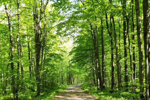
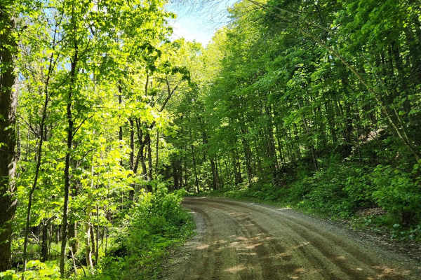
Dirt Bike Trails
Near Lakewood, Wisconsin
Explore All Dirt Bike Trails Near Lakewood, Wisconsin
Dirt Bike Trails Near Lakewood, Wisconsin
Discover the best dirt bike trails near you. Browse trail maps, check difficulty ratings, and find your next adventure — whether you're looking for a quick ride or an all-day expedition.
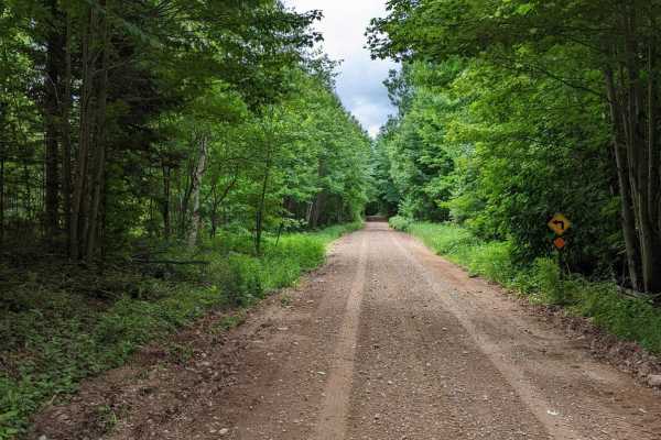
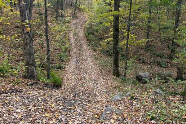
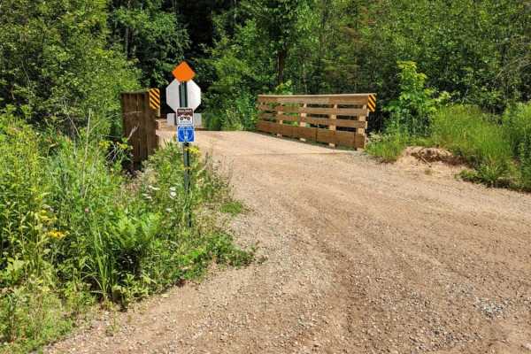
Jones 2359
Heading southwest from Wabeno, this trail starts from a town road and begins as a dirt trail that transitions to gravel around the halfway point. Early on, the trail is not very wide and has plenty of turns to keep your attention. At the gravel transition, things straighten out and become pretty eas...
Learn more about Jones 2359
Wolf River to Junction 22A
This is a well-maintained trail courtesy of Polar Blazers. Primarily open dirt roads, this trail goes through active logging operations. The logging company graciously continues to allow access to this trail. Please stay on the trail. Maintain safe speeds especially when crossing through logging are...
Learn more about Wolf River to Junction 22A
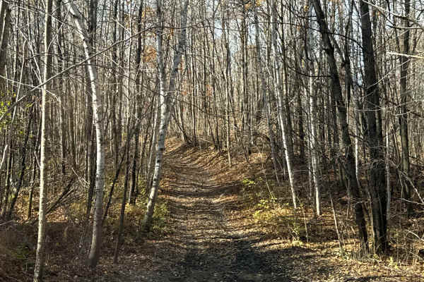
Nicolet State Trail - Bushafer to Wabeno
This is an easy railroad grade that takes over the end of Bushafer and can take you far north or quickly south into Wabeno for some food, drinks, and fuel, You can continue for many more miles. The short spur has a large gravel and rock base with a few road crossings that you need to stop for, so wa...
Learn more about Nicolet State Trail - Bushafer to Wabeno
Roberts Lake - FS 2144
This trail has a packed gravel base with areas of loose gravel. Traffic flows in both directions and the trail is fairly wide. There are plenty of areas to pull over on the side and take a break. Passing a few lakes, there are opportunities for some other recreation during your trip.
Learn more about Roberts Lake - FS 2144
The Wolf - Jungle Lake Stretch
North of Woodlawn past Jungle Lake, this is part of the Wolf River Trail system. Mostly gravel with some large rocks mixed in and running north/south, this trail has a ton of spurs that can be taken. Even in this short stretch, they're just waiting to be explored. The trail itself is mostly flat and...
Learn more about The Wolf - Jungle Lake Stretch
Bushafer 3876
This trail has an easy-going gravel and dirt base and will be greatly enjoyed by anyone traveling by ATV or SxS, though it's open to other road-going vehicles. It's a tight forest road with some of the most elevation changes in the area. A winding trail towards the beginning stretch, it straightens ...
Learn more about Bushafer 3876

#409-425 Pipeline Road to HWY 64 East
Fast and twisty sections with large banked corners. Best trail I've ridden in Oconto county. Used the railroad grade south from Lakewood down to mountain and chute pond area. Hidden gem! Rode this on a holiday weekend on Friday afternoon and saw one other machine between the sections 409-425. Long n...
Learn more about #409-425 Pipeline Road to HWY 64 East
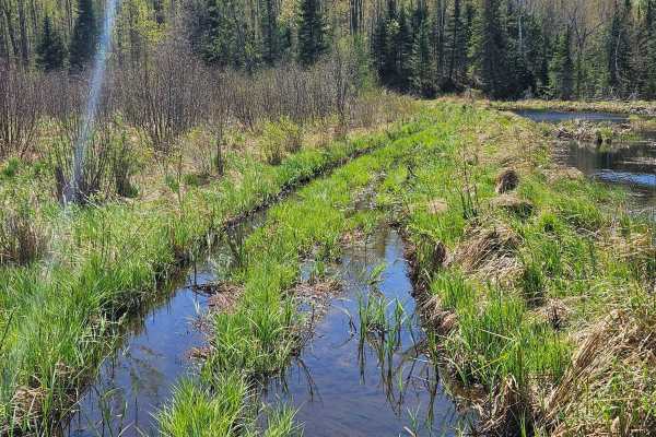
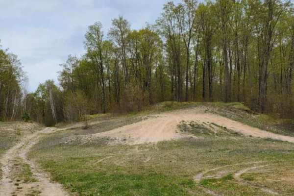
Dam Dead End
This easily flowing trail runs along the Peshtigo River, which flows down from the Johnson Fall Hydroelectric Dam. The trail features a mix of sandy whoops, hills, and scenic lookouts over the river. It eventually reaches a three-way dead end with gates at each split. A nice camping spot in one of t...
Learn more about Dam Dead End
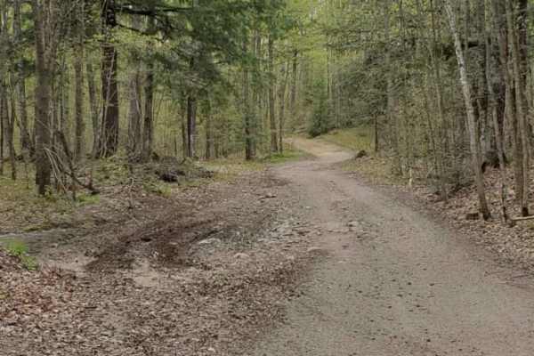
Stoney Creek Loop
Starting at Purdy Lake Road, this scenic trail heads toward Stoney Creek before looping back. There is a T-intersection that goes to/through the creek (depending on water level). The remainder of the trail is a little muddy and rocky, but overall enjoyable. Lots of new-growth trees, so the tree cano...
Learn more about Stoney Creek Loop
Porkey Lake Loop
The Porkey Lake Loop is part of the Langlade OHMV trail system and is rated as an "Access Trail". It is a mellow, easy trail that brings you to the trail head for "No-Eye-Deer (Rock Crawl)" and "John's Rock Crawl". It features small hills, few rocks, and a few horseback trails.
Learn more about Porkey Lake Loop
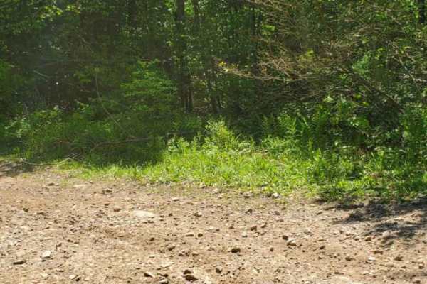
Norway Lake Loop
The Norway Lake Loop is a point-to-point trail that picks up on the eastern end from Porkey Lake Loop. It is primarily a dirt two-track with several sections of rocks and mud sections to cross. Expect a few mud holes, loose rock, and a few moderately steep sections.
Learn more about Norway Lake Loop
Hemlock North/South
Part of the Langlade OHMV trail system, this permit-only trail is an easy loop that leads to Hemlock Ridge. Hard park dirt and gravel with minimal trail features. It is divided up into North Hemlock and South Hemlock, but they tie together at the trail head of Hemlock Ridge, and both lead to the acc...
Learn more about Hemlock North/South
Pratt Junction
The best trail to take that conjoins Post Lake with Pelican Lake, which can then lead to the Harrison Hills system. The trail is mostly a gravel road, but has a small section of dirt on the Pelican Lake side. Along the way, there are excellent views of the woodlands and a stream. Good chance to see ...
Learn more about Pratt Junction
Brady Trail
Trail starts by getting of the pavement at the intersection of County Rd. T and Brady Ln. The dirt road lasts just a short bit before getting onto the winding dirt trail. A mixture of dirt, and rock washouts on the slight hills is not difficult to navigate, but some areas are narrow making 2-way tra...
Learn more about Brady Trail
Pelcho Cut Across
To get you off pavement and onto this rocky, winding trail you will cut through Enterprise Lake Road in Elcho and Old Elcho Road in Pelican Lake. Most times the trail has many low wet spots, but none of them are usually deep. Most corners are pretty tight, but oncoming traffic can usually be seen. T...
Learn more about Pelcho Cut Across

South Pelican
This trail runs next to the road and then dives into the woods for half of it. The east side of the route has some nice elevation changes with a few lower areas that have the potential to be muddy after rain. The west half goes into the woods where you can find a good number of shallow water holes o...
Learn more about South Pelican
Horseshoe Lake
Approximately 10 mile route from West Elcho Rd. to Moccasin Lake Rd. Access to Horseshoe Lake from the main trail is narrow, but it is a great spot to take a break. The majority of the trail is dirt with some rolling hills consisting of loose rock and gravel. Some of the tighter corners are narrow, ...
Learn more about Horseshoe Lake
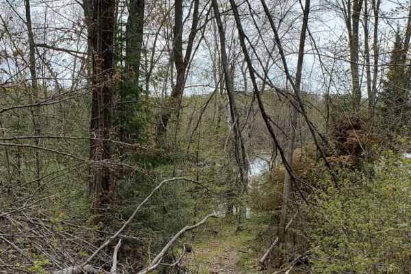
Minito Lake
Narrow winding dirt trail that goes right past the small Minito Lake State Natural Area. A short walking trail takes you down to the water side. The majority of this trail is narrow with a few wide spots to allow for oncoming traffic to pass. This trail is best taken at a slower pace, enjoy the scen...
Learn more about Minito Lake
West Elcho/Lily Mill Pass Through
Nice dirt trail spur going from West Elcho Road to Lily Mill Fire Lane. Most of the trail is easy one-lane traffic with some turnouts and wider spots to accommodate meeting other traffic. Plenty of rolling hills and tight bends make this a fun trail in the area to take your time passing through.
Learn more about West Elcho/Lily Mill Pass Through

West Elcho Bypass
Short route to keep off of the dirt road of West Elcho. Access directly from the County T trailhead. Winding trail is narrow in some spots, which requires pulling off to the side allowing traffic to pass. Mostly gravel/dirt trail with a few of the steeper hills being loose rock. There are a few gras...
Learn more about West Elcho Bypass
ATV trails near Lakewood, Wisconsin
Explore ATV-friendly trails near you. These trails are accessible for vehicles up to 50 inches wide, perfect for ATVs and smaller off-road machines.
Jones 2359
Heading southwest from Wabeno, this trail starts from a town road and begins as a dirt trail that transitions to gravel around the halfway point. Early on, the trail is not very wide and has plenty of turns to keep your attention. At the gravel transition, things straighten out and become pretty eas...
Learn more about Jones 2359
Wolf River to Junction 22A
This is a well-maintained trail courtesy of Polar Blazers. Primarily open dirt roads, this trail goes through active logging operations. The logging company graciously continues to allow access to this trail. Please stay on the trail. Maintain safe speeds especially when crossing through logging are...
Learn more about Wolf River to Junction 22A
Nicolet State Trail - Bushafer to Wabeno
This is an easy railroad grade that takes over the end of Bushafer and can take you far north or quickly south into Wabeno for some food, drinks, and fuel, You can continue for many more miles. The short spur has a large gravel and rock base with a few road crossings that you need to stop for, so wa...
Learn more about Nicolet State Trail - Bushafer to Wabeno
Roberts Lake - FS 2144
This trail has a packed gravel base with areas of loose gravel. Traffic flows in both directions and the trail is fairly wide. There are plenty of areas to pull over on the side and take a break. Passing a few lakes, there are opportunities for some other recreation during your trip.
Learn more about Roberts Lake - FS 2144
UTV/side-by-side trails near Lakewood, Wisconsin
Find UTV and side-by-side trails near you. These trails accommodate vehicles up to 60 inches wide, ideal for UTVs, side-by-sides, and wider off-road rigs.
Jones 2359
Heading southwest from Wabeno, this trail starts from a town road and begins as a dirt trail that transitions to gravel around the halfway point. Early on, the trail is not very wide and has plenty of turns to keep your attention. At the gravel transition, things straighten out and become pretty eas...
Learn more about Jones 2359
Wolf River to Junction 22A
This is a well-maintained trail courtesy of Polar Blazers. Primarily open dirt roads, this trail goes through active logging operations. The logging company graciously continues to allow access to this trail. Please stay on the trail. Maintain safe speeds especially when crossing through logging are...
Learn more about Wolf River to Junction 22A
Nicolet State Trail - Bushafer to Wabeno
This is an easy railroad grade that takes over the end of Bushafer and can take you far north or quickly south into Wabeno for some food, drinks, and fuel, You can continue for many more miles. The short spur has a large gravel and rock base with a few road crossings that you need to stop for, so wa...
Learn more about Nicolet State Trail - Bushafer to Wabeno
Roberts Lake - FS 2144
This trail has a packed gravel base with areas of loose gravel. Traffic flows in both directions and the trail is fairly wide. There are plenty of areas to pull over on the side and take a break. Passing a few lakes, there are opportunities for some other recreation during your trip.
Learn more about Roberts Lake - FS 2144
The onX Offroad Difference
onX Offroad combines trail photos, descriptions, difficulty ratings, width restrictions, seasonality, and more in a user-friendly interface. Available on all devices, with offline access and full compatibility with CarPlay and Android Auto. Discover what you're missing today!
Open Trail Map