Trail Overview
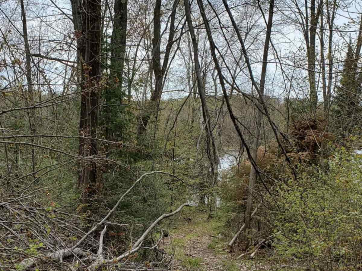
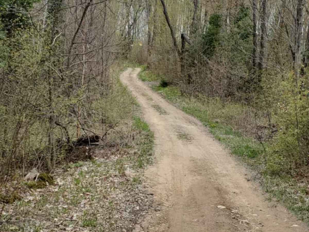
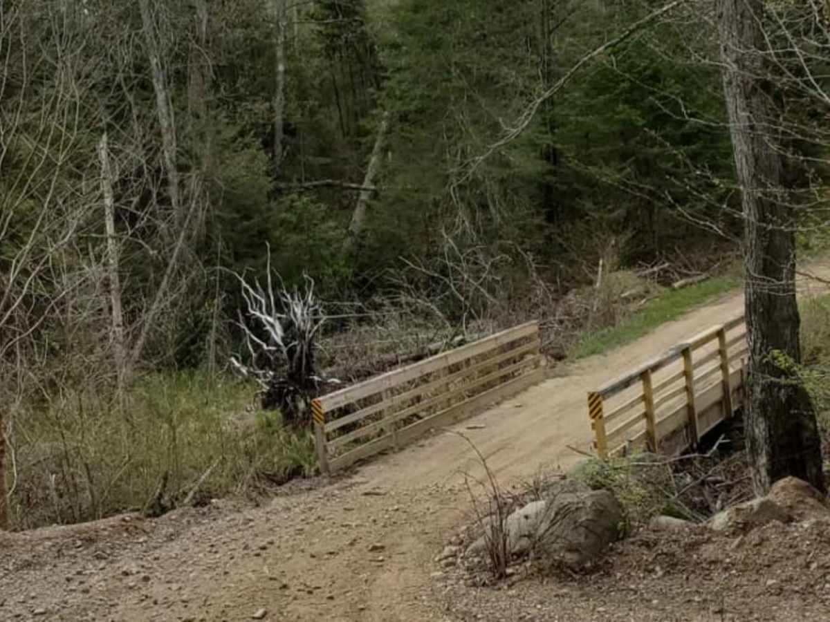
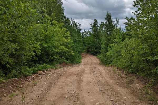
The Minito Lake trail is a scenic, 2.9-mile off-road route winding through Langlade County's dense northern forest. This tight, winding dirt track passes directly by the Minito Lake State Natural Area, offering views of the lake and a short walking spur to the water's edge.
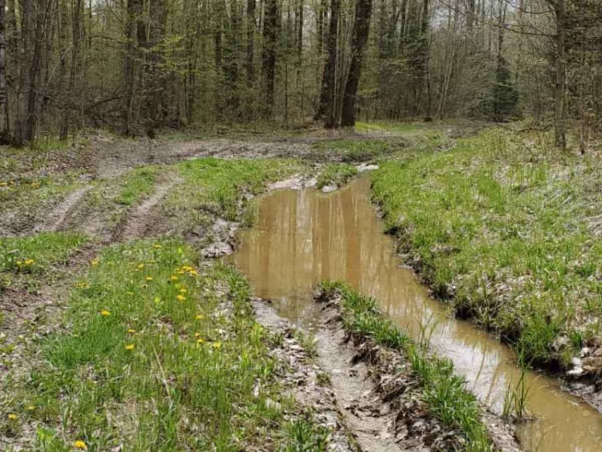
With a technical rating of 4, the trail features narrow clearances and muddy sections. After heavy rain, a deep mud wallow requires high-clearance vehicles and four-wheel drive. Elevation gain is minimal at approximately 140 feet, making the route less about steep climbs and more about careful maneuvering through the tight forest canopy.
Access Description
This route is open to ATVs, UTVs, and other off-road vehicles conforming to local Langlade County road and trail regulations. Heavy rains can significantly deepen muddy sections along the route, requiring high clearance and proper recovery gear.