
Dirt Bike Trails
Near Lake Hamilton, Arkansas
Explore All Dirt Bike Trails Near Lake Hamilton, Arkansas
Dirt Bike Trails Near Lake Hamilton, Arkansas
Discover the best dirt bike trails near you. Browse trail maps, check difficulty ratings, and find your next adventure — whether you're looking for a quick ride or an all-day expedition.
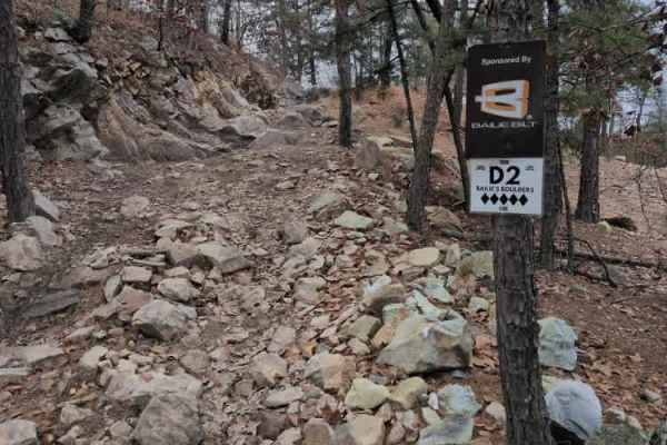
D2 Bailie's Boulders
D2 Bailie's Boulders is a short series of difficult rock obstacles located at the beginning of D1 Rubicon Ridge. The first obstacle is about 3-4 feet high, with a V-notch, and usually has water at the bottom of it. The second is closer to 10-12 ft near vertical. The third and final obstacle is a ver...
Learn more about D2 Bailie's Boulders
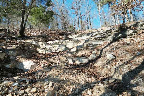
D4 Impossible
D4 Impossible is one of the extreme one-way trails that climbs up the mountain from D1 Rubicon Ridge up to the main Arkansas-5 trail on the ridge. D4 begins with a slight descent on loose rock, but quickly turns uphill near the power lines. The grade is near vertical in many places, with a combinati...
Learn more about D4 Impossible
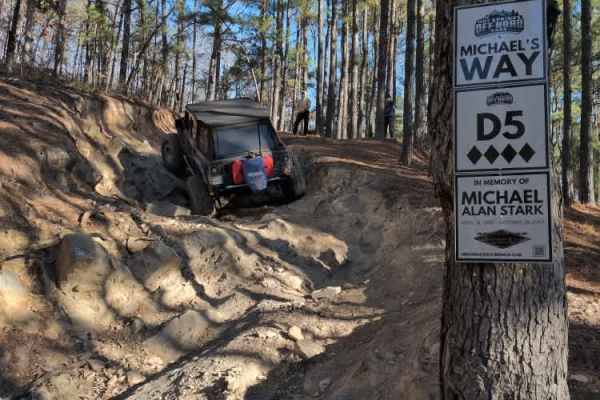
D5 Michael's Way
D5 Michael's way is a very short optional obstacle off of D1 Rubicon Ridge. It is a steep rock ledge that can get you off camber quickly, especially if it's wet. The park rating for this trail is 4 diamonds.
A Park Day-Use Trail Pass is required to access this system of trails. Cell service is spot...
Learn more about D5 Michael's Way
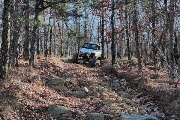
C16
C16 is a one-way steep descent with a few large ledges to drop off. One particular spot is very rough with jagged rocks that can cause issues with vehicle undercarriages. There is also an off-camber turn that will lean your vehicle into a large tree. Body & mechanical damage is a real possibility on...
Learn more about C16
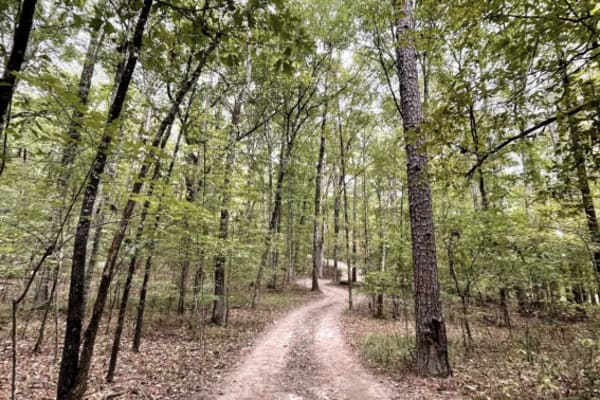
J18 Quartz Canyon
Quartz Canyon is a RETIRED Jeep Bage of Honor Trail. Embark on an action-packed and challenging nearly 2-mile loop trail, Quartz Canyon, starting and ending at Jim's Overlook in Hot Springs Off-Road Park. The trail, requiring tires of at least 32 inches and an aggressive tread, recommends a locking ...
Learn more about J18 Quartz Canyon
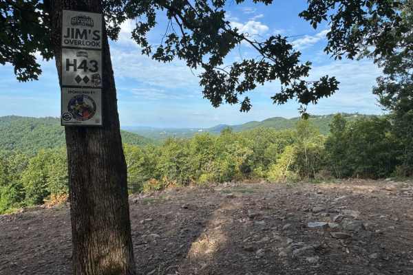
H43 Jim's Overlook
H43 Jim's Overlook is a 2-Diamond overlook trail located on the 400-Side of Hot Springs Off-Road Park. It's accessible via K6 Jaag'd Edge, H42, and Quartz Canyon, making it a popular destination for drivers exploring the upper trails of the Park. The overlook offers one of the most expansive panoram...
Learn more about H43 Jim's Overlook
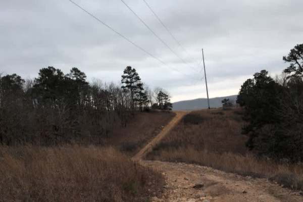
C18 Tanner's Hatchet
C18 Tanner's Hatchet is a relatively mild trail that meanders through the trees and along the power lines. There are a few small obstacles like roots and rocks, and one spot can be a bit off camber near the entrance for C16. C16 connects C4 Power Wagon Point up to Trail 5 and the beginning of D1 Rub...
Learn more about C18 Tanner's Hatchet
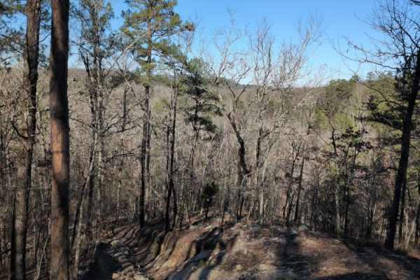
C8 Back Porch
This trail provides an exit at the ends of C5 Humdinger and C6 Ingrid's Revenge. You can either travel north back down the hill to the beginning or south to go uphill towards C4 Power Wagon. It is a steep descent on a wooded trail with only a few off-camber spots and drops to watch out for. The park...
Learn more about C8 Back Porch

B28
B28 is a dirt trail that runs along the powerlines at the back of the park. There are a couple of hill climbs, one with a small rock ledge, but any vehicle should be able to navigate that very easily. Take Road 2 to Road 3, and B28 will be at the very end on the right. The trail will take you back t...
Learn more about B28
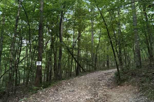
B16
B16 is a 1-Diamond, gravel trail located in the B-section of Hot Springs Off-Road Park, known for its scenic and beginner-friendly terrain. This 0.2-mile, heavily wooded route winds gently through the forest with a gradual 73-foot elevation gain, making it a comfortable trail for newcomers and natur...
Learn more about B16
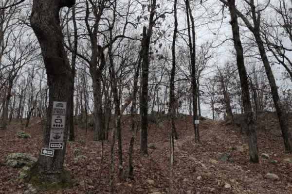
C3 Sesame Street
C3 Sesame Street is a fun, optional hill climb obstacle that you can do while on C4 Power Wagon Point. It is a relatively steep rocky climb with small ledges, then a quick downhill descent back to Power Wagon.
The park rating for this trail is 4 diamonds. A Park Day-Use Trail Pass is required to ac...
Learn more about C3 Sesame Street
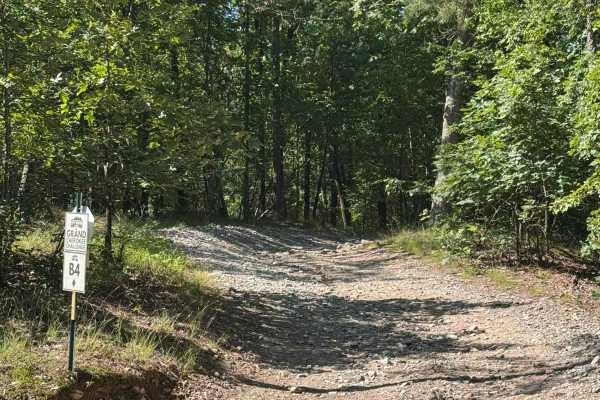
B4 Grand Cherokee Challenge
This is an easy trail that links B28, which is a higher rating, but B28 is also a two-way, so you can also head to AR Highway 2. It has some off-camber sections that can be used to test your suspension. Gravel rocks with small inclines but can easily be done in 4WD.
Learn more about B4 Grand Cherokee Challenge
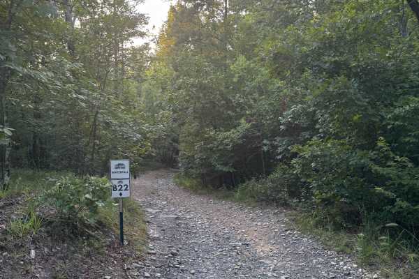
B22 Waterfall
B22 Waterfall is a 1-Diamond, two-way trail located in the B-section of Hot Springs Off-Road Park—an area designed with beginners in mind. At 0.2 miles long, this easy, scenic route is perfect for starting the day slow and soaking in the beauty of nature. The trail winds through tall wooded creek be...
Learn more about B22 Waterfall
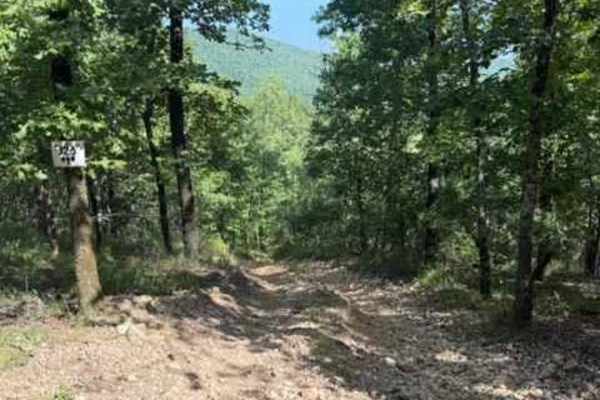
J26
J26 is a fun short trail that connects you to J14, J23, and J21. J26 is a short but fun trail, including a steep grade with loose rocks, both large and small, and some off-camber sections. This trail also has some walls that could cause some body damage if not careful. A Park Day-Use Trail Pass is r...
Learn more about J26
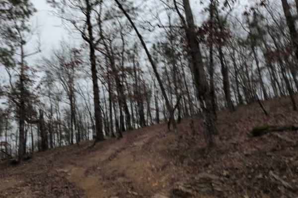
C9 Ingrid's Early Exit
This trail is an early exit that branches off to the left of C6 Ingrid's Revenge and connects to C12 The Zappasodi. It is a steep hill through the trees that avoids some of the final obstacles on C6.
The park rating for this trail is 4 diamonds. A Park Day-Use Trail Pass is required to access this ...
Learn more about C9 Ingrid's Early Exit
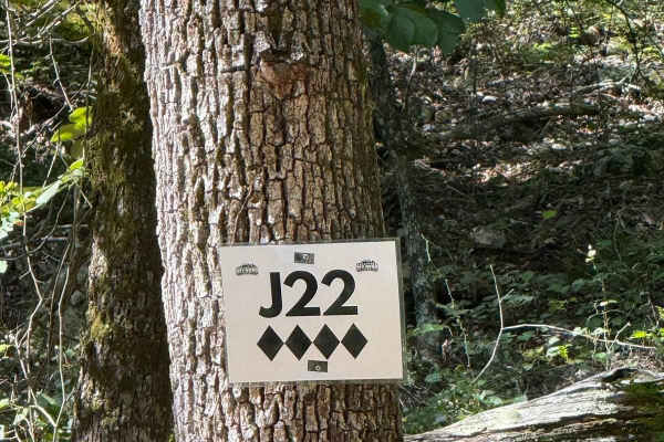
J22
J22 is a fun short trail that can be accessed from J14/J26 end points as well as H42 Parkers Lane. This trail is full of steep grades, Sharp rocks, both large and small. Some off-camber sections and walls could cause body damage to your vehicle. A Park Day-Use Trail Pass is required to access this s...
Learn more about J22
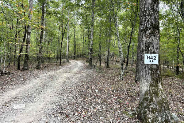
H42 Parker Lane
This is one of two main trails on the west side of the park. It is a great starting point to connect to more challenging trails. The trail is well maintained and consists of small to medium loose rock and hard-pack sections. Don't miss stopping at Papa's Pointe Overlook for a break with a great view...
Learn more about H42 Parker Lane
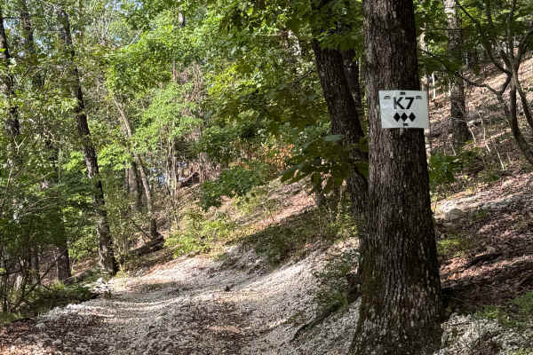
K7
K7 is a 3-Diamond, one-way connector trail on the 400-Side of Hot Springs Off-Road Park. It links H5 to K5, making it a convenient route for navigating the upper section of the Park's network. The trail is wooded and shaded, with a surface of loose gravel. While it’s straight across in layout, at th...
Learn more about K7
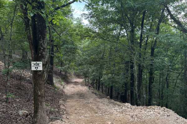
H28 Nate's Journey
H28 Nate’s Journey is a 2-Diamond, two-way connector trail on the 400-Side of Hot Springs Off-Road Park. Though short—just 0.1 miles—this trail plays an important role in connecting H5 to H1, H30, and H31, helping drivers link several key routes across the upper part of the Park. The trail is heavil...
Learn more about H28 Nate's Journey
J14
J14 is a change of pace for the trails in this area. J14 is an easier "smooth like" trail that connects multiple trails. You can access J20, J21, J23, J26, J22, and J8 from J14. This trail has some small loose rocks but remains relatively flat. A Park Day-Use Trail Pass is required to access this sy...
Learn more about J14
ATV trails near Lake Hamilton, Arkansas
Explore ATV-friendly trails near you. These trails are accessible for vehicles up to 50 inches wide, perfect for ATVs and smaller off-road machines.
D2 Bailie's Boulders
D2 Bailie's Boulders is a short series of difficult rock obstacles located at the beginning of D1 Rubicon Ridge. The first obstacle is about 3-4 feet high, with a V-notch, and usually has water at the bottom of it. The second is closer to 10-12 ft near vertical. The third and final obstacle is a ver...
Learn more about D2 Bailie's Boulders
D4 Impossible
D4 Impossible is one of the extreme one-way trails that climbs up the mountain from D1 Rubicon Ridge up to the main Arkansas-5 trail on the ridge. D4 begins with a slight descent on loose rock, but quickly turns uphill near the power lines. The grade is near vertical in many places, with a combinati...
Learn more about D4 Impossible
D5 Michael's Way
D5 Michael's way is a very short optional obstacle off of D1 Rubicon Ridge. It is a steep rock ledge that can get you off camber quickly, especially if it's wet. The park rating for this trail is 4 diamonds.
A Park Day-Use Trail Pass is required to access this system of trails. Cell service is spot...
Learn more about D5 Michael's Way
C16
C16 is a one-way steep descent with a few large ledges to drop off. One particular spot is very rough with jagged rocks that can cause issues with vehicle undercarriages. There is also an off-camber turn that will lean your vehicle into a large tree. Body & mechanical damage is a real possibility on...
Learn more about C16
UTV/side-by-side trails near Lake Hamilton, Arkansas
Find UTV and side-by-side trails near you. These trails accommodate vehicles up to 60 inches wide, ideal for UTVs, side-by-sides, and wider off-road rigs.
D2 Bailie's Boulders
D2 Bailie's Boulders is a short series of difficult rock obstacles located at the beginning of D1 Rubicon Ridge. The first obstacle is about 3-4 feet high, with a V-notch, and usually has water at the bottom of it. The second is closer to 10-12 ft near vertical. The third and final obstacle is a ver...
Learn more about D2 Bailie's Boulders
D4 Impossible
D4 Impossible is one of the extreme one-way trails that climbs up the mountain from D1 Rubicon Ridge up to the main Arkansas-5 trail on the ridge. D4 begins with a slight descent on loose rock, but quickly turns uphill near the power lines. The grade is near vertical in many places, with a combinati...
Learn more about D4 Impossible
D5 Michael's Way
D5 Michael's way is a very short optional obstacle off of D1 Rubicon Ridge. It is a steep rock ledge that can get you off camber quickly, especially if it's wet. The park rating for this trail is 4 diamonds.
A Park Day-Use Trail Pass is required to access this system of trails. Cell service is spot...
Learn more about D5 Michael's Way
C16
C16 is a one-way steep descent with a few large ledges to drop off. One particular spot is very rough with jagged rocks that can cause issues with vehicle undercarriages. There is also an off-camber turn that will lean your vehicle into a large tree. Body & mechanical damage is a real possibility on...
Learn more about C16
The onX Offroad Difference
onX Offroad combines trail photos, descriptions, difficulty ratings, width restrictions, seasonality, and more in a user-friendly interface. Available on all devices, with offline access and full compatibility with CarPlay and Android Auto. Discover what you're missing today!
Open Trail Map