D4 Impossible

Total Miles0.3
Technical Rating
10Extreme
Best TimeSpring, Summer, Fall, Winter
Trail TypeFull-Width Road
Accessible By
Open Trail Map

Trail Overview

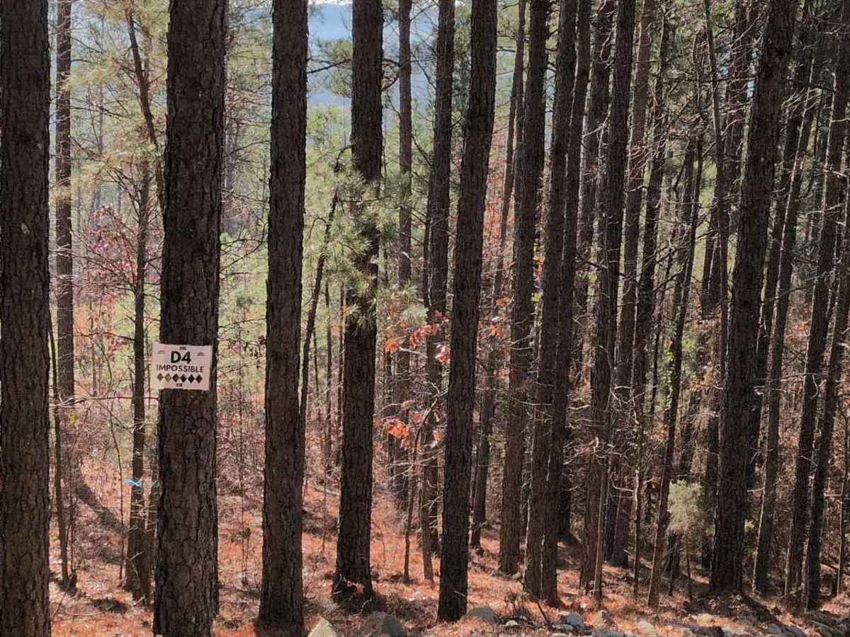
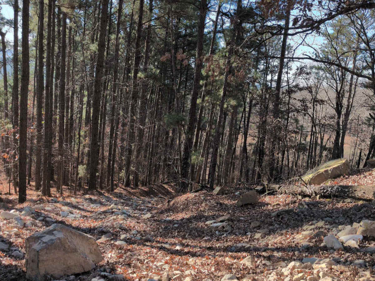
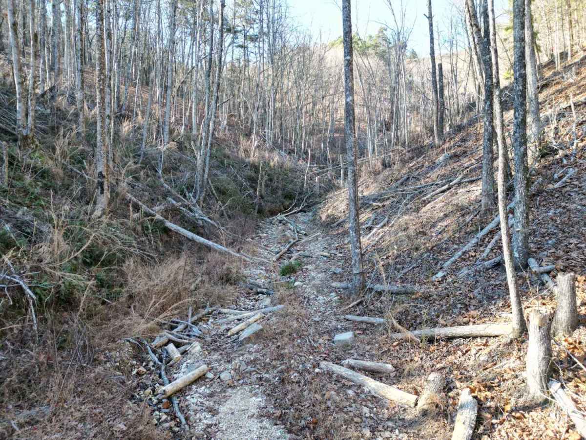
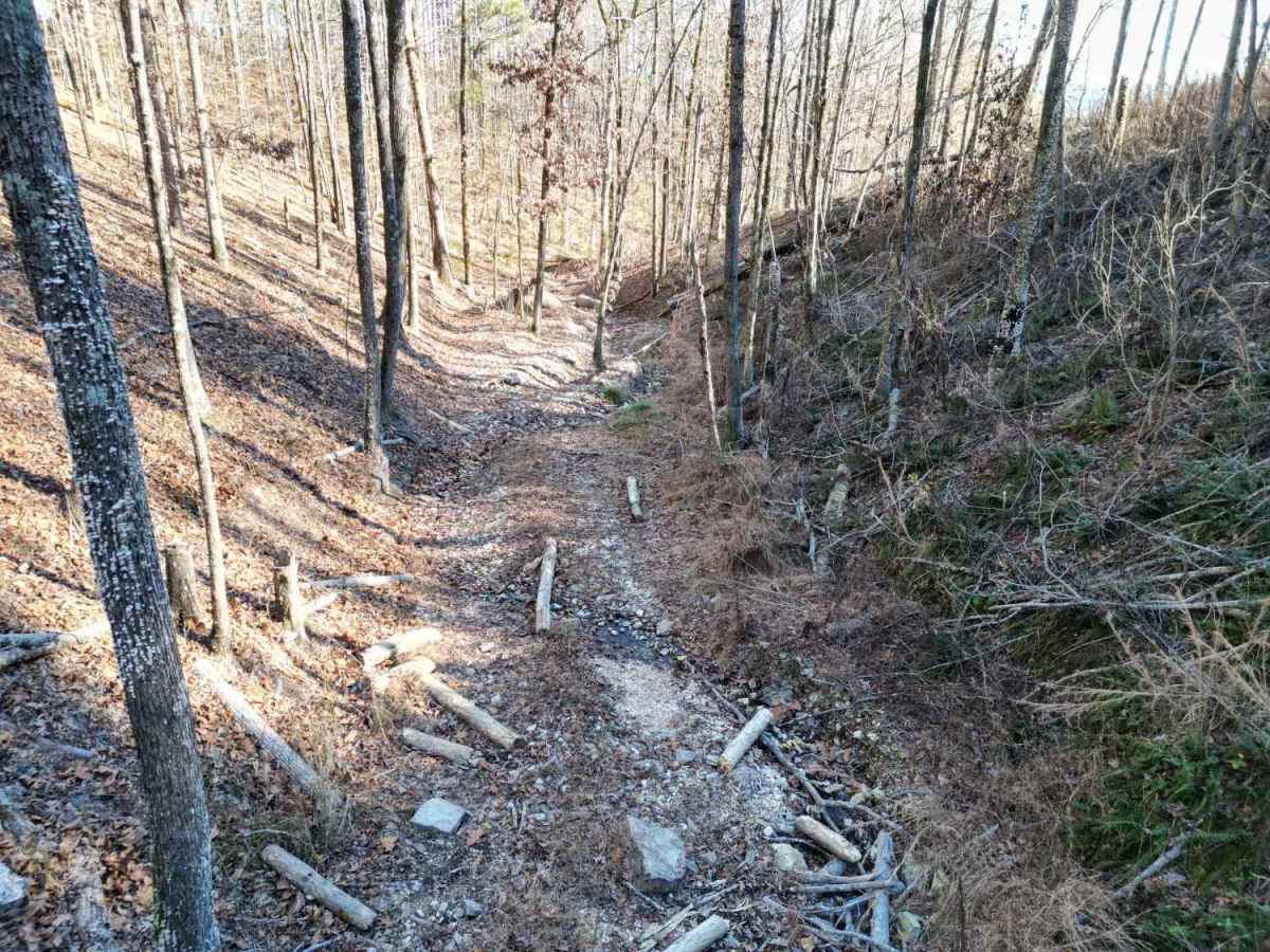
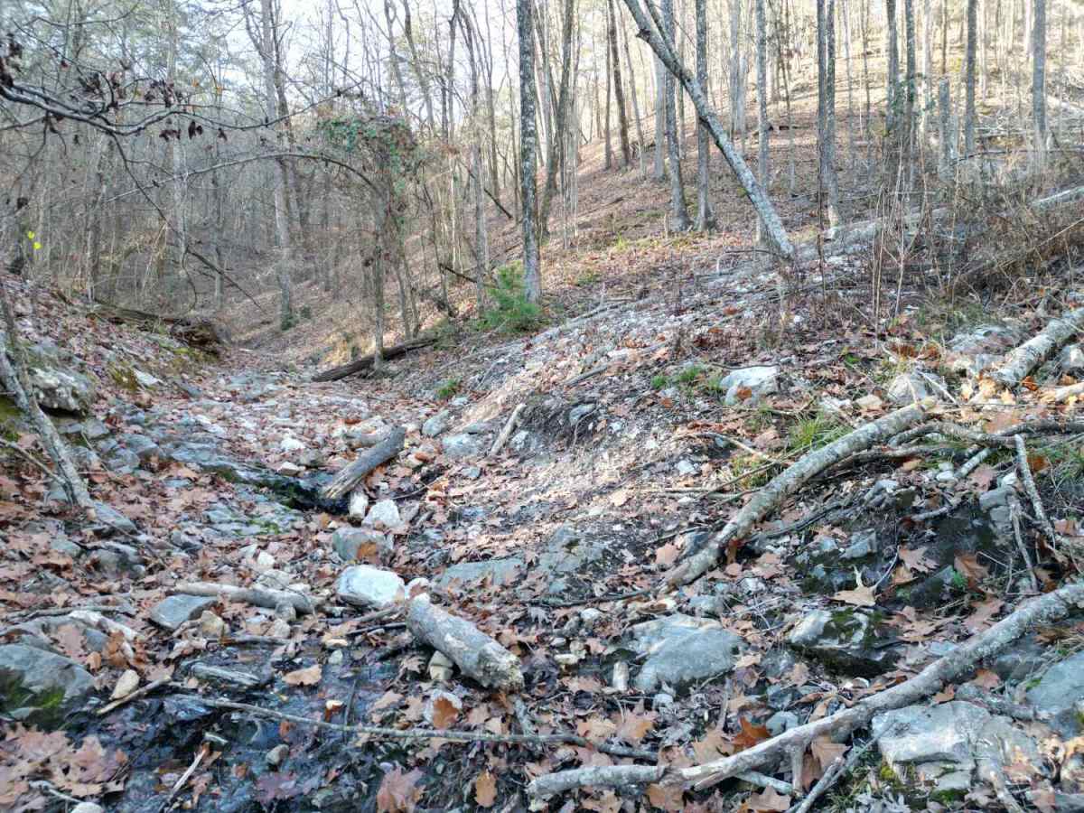
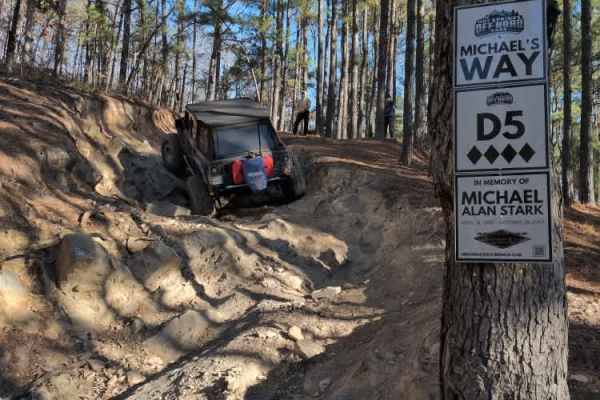
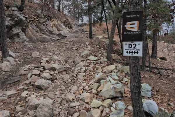
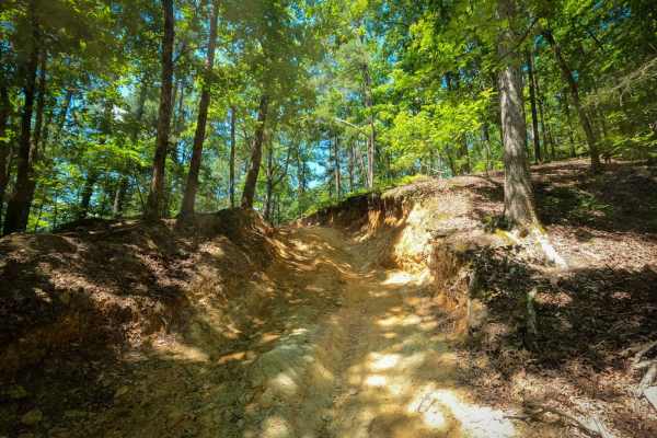
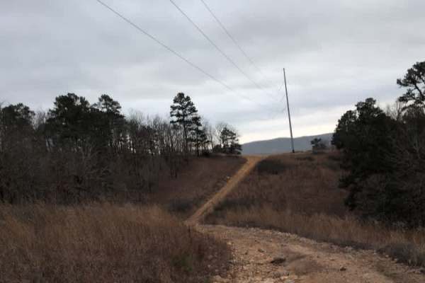
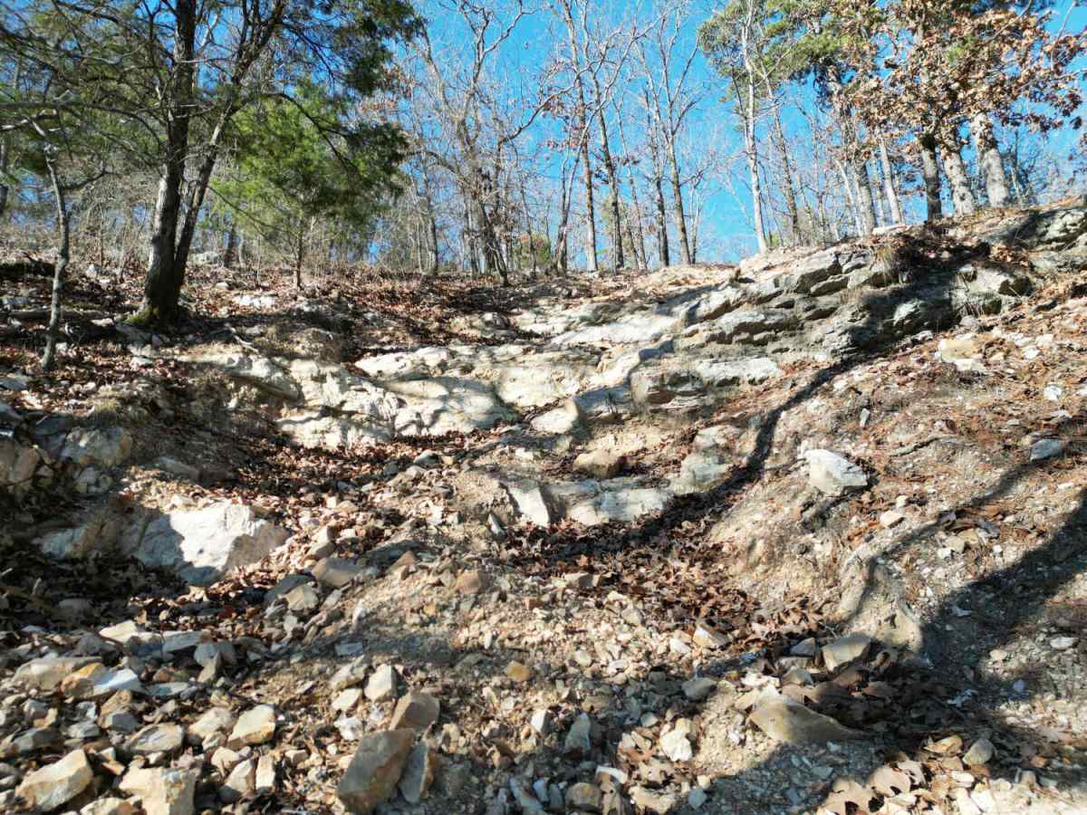
D4 Impossible is one of the extreme one-way trails that climbs up the mountain from D1 Rubicon Ridge up to the main Arkansas-5 trail on the ridge. D4 begins with a slight descent on loose rock, but quickly turns uphill near the power lines. The grade is near vertical in many places, with a combination of loose rock and solid rock ledges. The park rating for this trail is a maximum 6 diamonds. A Park Day-Use Trail Pass is required to access this system of trails. Cell service is spotty in places, and trail conditions can change quickly, especially during rainy or winter seasons.

Photos of D4 Impossible

Difficulty

Very steep with large, vertical rock walls.

Technical Rating

10

D4 Impossible Trail can be accessed by the following ride types:

  • Single Track
  • 50 Inch
  • 60 Inch
  • High Clearance
  • Full Width

D4 Impossible Map

The onX Offroad Difference

onX Offroad combines trail photos, descriptions, difficulty ratings, width restrictions, seasonality, and more in a user-friendly interface. Available on all devices, with offline access and full compatibility with CarPlay and Android Auto. Discover what you're missing today!

Open Trail Map