
Dirt Bike Trails
Near Labish Village, Oregon
Explore All Dirt Bike Trails Near Labish Village, Oregon
Dirt Bike Trails Near Labish Village, Oregon
Discover the best dirt bike trails near you. Browse trail maps, check difficulty ratings, and find your next adventure — whether you're looking for a quick ride or an all-day expedition.
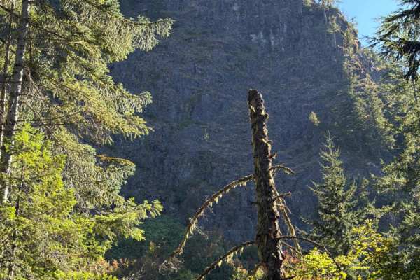
Upper Neal Creek Road
This is the route to get to Snow Peak. From the top, you will have to hike up approximately 1.5mi, or take another motorized route that will require a high-clearance 4WD. The road is larger gravel. It is very passable by 2WD, though a low-ground-clearance car is not recommended, as there are a fe...
Learn more about Upper Neal Creek Road
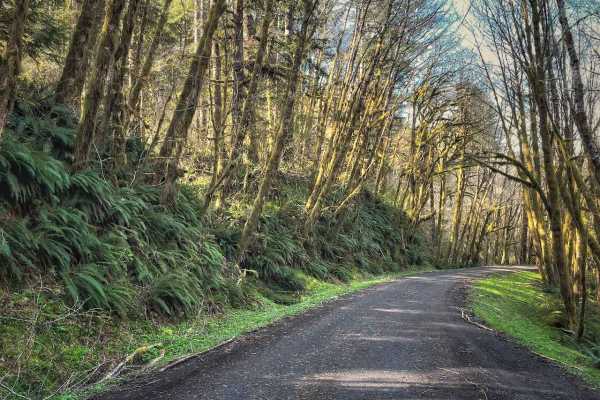
Hoag Pass Road
This gentle, winding gravel road travels through the BLM’s Nestucca River Recreation Area, connecting Bald Mountain Road to Nestucca River Rd. It provides access to numerous ATV trails, so be aware of trail crossings and oncoming traffic. The canopy is predominantly old-growth Douglas Fir, Western ...
Learn more about Hoag Pass Road
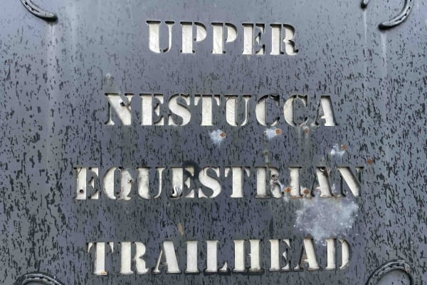
Bell Mountain Loop
Right before you head up this loop you will go through an unnamed road. You will go through a big puddle and up a steep, loose hill with water running down one of the rutted sides, up and over a few water bars that you may think twice if you are in a car. But you never know. May also give it a shot ...
Learn more about Bell Mountain Loop

Green Mountain Gravel Pits
This route takes you off the main Green Mountain Road, up Green Mountain Middle Road, and to a few gravel pit areas. The route provides a few views of the city of Colton and other cities farther out. The pits are locations with some four-wheeling obstacles and is where a lot of people go to shoot th...
Learn more about Green Mountain Gravel Pits
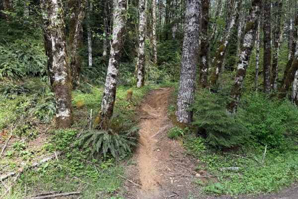
Beaver
Beaver is a 1.3-mile unmarked single-track trail that begins from a light staging area off Ginger Creek. The start features a tight single track with pristine dirt. The trail remains mostly narrow, with a few splits along the way, and conditions can vary over time, including deep ruts and exposed ro...
Learn more about Beaver
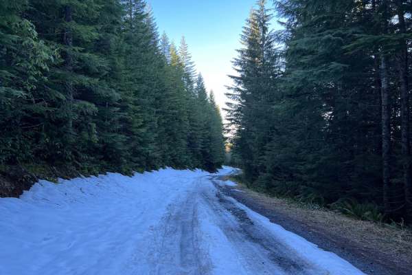
Green Mountain Road
This is one of the main roads heading up to Goat Mountain. There are many spur roads you can take off of Green Mountain Road; just make sure to check the status of gate closures. The area is full of 4x4 and ATV trails. There is snow covering a majority of the road during the winter months.
Learn more about Green Mountain Road
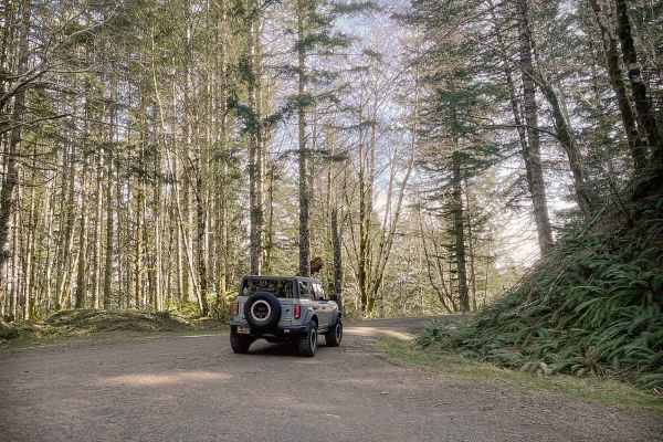
Boundary Road
This gravel route runs through the BLM Nestucca River Recreation Area, connecting Elk Creek Road to Ginger Creek Road, with access to spur roads and pullouts for day-use. The road is generally well-maintained and graded, with compacted gravel, though potholes and seasonal overgrowth, and downed tre...
Learn more about Boundary Road
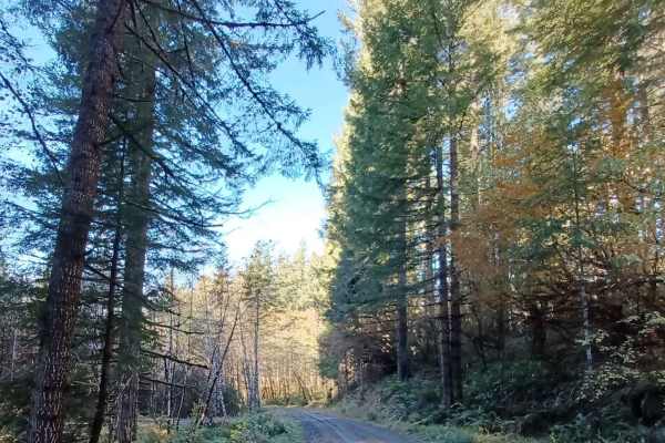
Niagara
Niagara Road runs through the Siuslaw National Forest. It is a one-lane gravel road with turnouts. Some sections of the road are more natural surfaces with sections that get muddy and slippery when wet. There are a few small spots off the side of the road that you could pull over for a night.
Learn more about Niagara
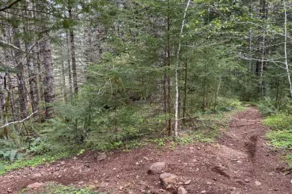
Ginger Creek Access Loop
Ginger Creek Access Loop is a moderately difficult yet rewarding trail packed with tight twists and flowing turns. Beginning off Ginger Creek Road, it winds through towering old-growth forest along narrow single track with excellent traction. Along the route, riders encounter a rocky, technical sect...
Learn more about Ginger Creek Access Loop
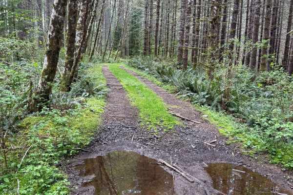
Nook Road
This is a narrow trail stretching approximately 1.5 miles, connecting to several trail networks in the Hebo region. Along this path, I encountered small mud holes and sections only wide enough for a single vehicle. The surroundings are lush, with ferns and moss-covered trees lining the route, and th...
Learn more about Nook Road
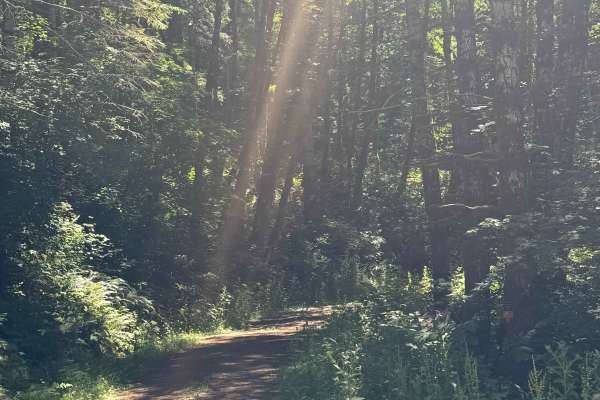
Coast Ridge - FS 2202
This is a smooth, gravel-based forest road that is narrow and one vehicle wide with places to pass. The trail has some two-track sections in places, has minor washboard in areas, and has some potholes to avoid. The trail travels through dense coastal forest, but you will also have views of the surro...
Learn more about Coast Ridge - FS 2202
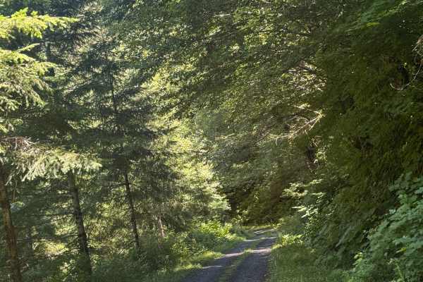
Nook - FS 2283
This is a one-lane-wide, gravel-based forest road that runs through the National Forest to the boundary of the Grand Ronde Community Indian Reservation. The trail climbs nearly 600 feet in elevation and crosses over Mount Hebo Road. There are potholes and a section that has a major washout, but you ...
Learn more about Nook - FS 2283
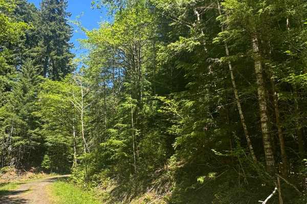
FS 2283-121
This is a dirt-based forest road through dense coastal forest. The trail runs along a ridge and provides views of the surrounding area, then descends nearly 500 feet in elevation into thick forest with overgrown vegetation, before ending at the Yamhill County Line. There are a couple muddy spots you...
Learn more about FS 2283-121
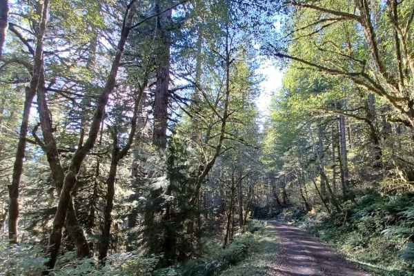
Square Top
Square Top Road runs through the Siuslaw National Forest. It is an easy one-lane gravel road with pullouts. Some sections of this road can get slippery when wet, and at one end of it, there is a spot that tends to be flooded when it rains or has snowmelt. If water is over the road, be careful when c...
Learn more about Square Top
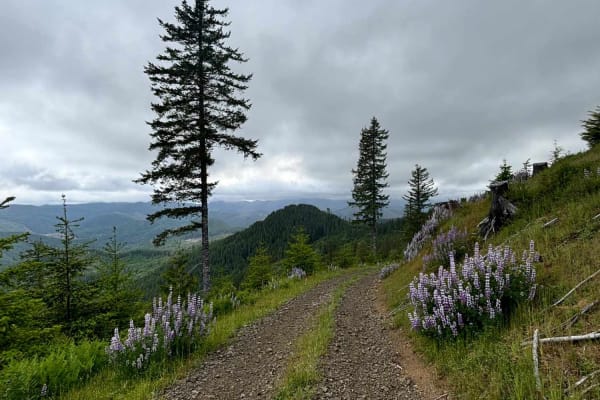
Murphy Guard Station Loop
The route consists of basic logging roads similar to much of the Tillamook State Forest area. There is a modest climb to the viewpoint at approximately 2,500 feet. The viewpoint overlooks the valley of the East Fork/South Fork Trask River area. From the west, the upper route consists of Steamboat Ro...
Learn more about Murphy Guard Station Loop
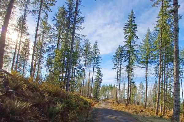
Grindstone View
Grindstone View road runs through the Tillamook State Forest and Siuslaw National Forest. It is an easy gravel road with sections that become more natural, some spots can be muddy when wet. There are some pretty views to enjoy on this route and a couple of good camp spots for a smaller group of vehi...
Learn more about Grindstone View
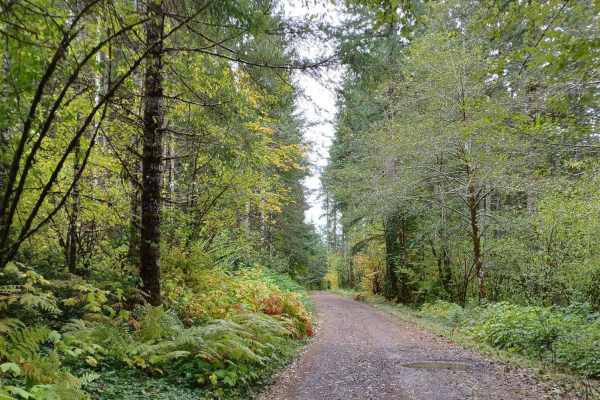
Little Hebo Access
Little Hebo Access is an easy, scenic gravel route through the lush Siuslaw National Forest, perfect for beginners and any vehicle looking for a quick, beautiful connector to the area's extensive trail network. Spanning roughly 3.8 miles, this route climbs steadily from an elevation of 553 feet to a...
Learn more about Little Hebo Access
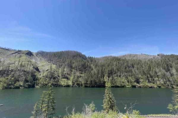
National Forest Development Road 4610
National Forest Development Rd 4610 has changed a lot over the last couple of years as the Riverside forest fire ripped through this area. Be advised that landslides, falling trees, and debris can occur in this area at any time. This road is not at all advised for a car. Road 4610 starts as a paved ...
Learn more about National Forest Development Road 4610
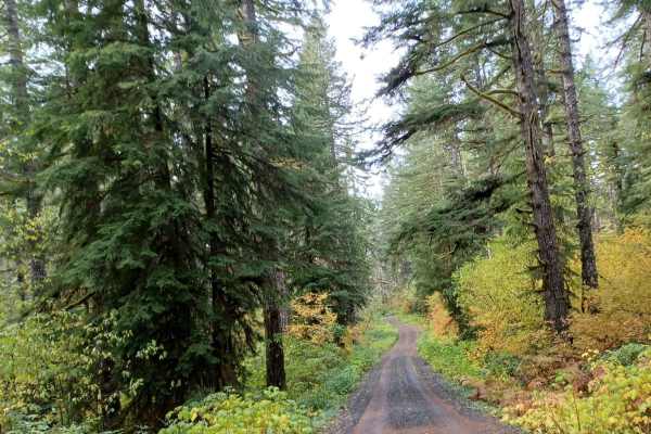
Little Hebo
Little Hebo is an easy gravel road that runs through the Siuslaw National Forest. There are a couple of camp spots on this trail some small ones, and a larger one as well. No cellphone service and the road is not winter-maintained. There are a lot of roads around this area to explore and enjoy.
Learn more about Little Hebo
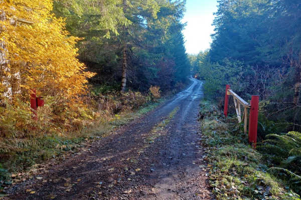
Crazy Lakes
Crazy Lakes is a scenic, point-to-point trail in the Siuslaw National Forest that is perfect for beginners and drivers with high-clearance four-wheel-drive vehicles seeking a peaceful, immersive forest drive. Stretching approximately 5.37 miles, this route climbs from an elevation of about 1,366 fee...
Learn more about Crazy Lakes
ATV trails near Labish Village, Oregon
Explore ATV-friendly trails near you. These trails are accessible for vehicles up to 50 inches wide, perfect for ATVs and smaller off-road machines.
Upper Neal Creek Road
This is the route to get to Snow Peak. From the top, you will have to hike up approximately 1.5mi, or take another motorized route that will require a high-clearance 4WD. The road is larger gravel. It is very passable by 2WD, though a low-ground-clearance car is not recommended, as there are a fe...
Learn more about Upper Neal Creek Road
Hoag Pass Road
This gentle, winding gravel road travels through the BLM’s Nestucca River Recreation Area, connecting Bald Mountain Road to Nestucca River Rd. It provides access to numerous ATV trails, so be aware of trail crossings and oncoming traffic. The canopy is predominantly old-growth Douglas Fir, Western ...
Learn more about Hoag Pass Road
Bell Mountain Loop
Right before you head up this loop you will go through an unnamed road. You will go through a big puddle and up a steep, loose hill with water running down one of the rutted sides, up and over a few water bars that you may think twice if you are in a car. But you never know. May also give it a shot ...
Learn more about Bell Mountain Loop
Green Mountain Gravel Pits
This route takes you off the main Green Mountain Road, up Green Mountain Middle Road, and to a few gravel pit areas. The route provides a few views of the city of Colton and other cities farther out. The pits are locations with some four-wheeling obstacles and is where a lot of people go to shoot th...
Learn more about Green Mountain Gravel Pits
UTV/side-by-side trails near Labish Village, Oregon
Find UTV and side-by-side trails near you. These trails accommodate vehicles up to 60 inches wide, ideal for UTVs, side-by-sides, and wider off-road rigs.
Upper Neal Creek Road
This is the route to get to Snow Peak. From the top, you will have to hike up approximately 1.5mi, or take another motorized route that will require a high-clearance 4WD. The road is larger gravel. It is very passable by 2WD, though a low-ground-clearance car is not recommended, as there are a fe...
Learn more about Upper Neal Creek Road
Hoag Pass Road
This gentle, winding gravel road travels through the BLM’s Nestucca River Recreation Area, connecting Bald Mountain Road to Nestucca River Rd. It provides access to numerous ATV trails, so be aware of trail crossings and oncoming traffic. The canopy is predominantly old-growth Douglas Fir, Western ...
Learn more about Hoag Pass Road
Green Mountain Gravel Pits
This route takes you off the main Green Mountain Road, up Green Mountain Middle Road, and to a few gravel pit areas. The route provides a few views of the city of Colton and other cities farther out. The pits are locations with some four-wheeling obstacles and is where a lot of people go to shoot th...
Learn more about Green Mountain Gravel Pits
Green Mountain Road
This is one of the main roads heading up to Goat Mountain. There are many spur roads you can take off of Green Mountain Road; just make sure to check the status of gate closures. The area is full of 4x4 and ATV trails. There is snow covering a majority of the road during the winter months.
Learn more about Green Mountain Road
The onX Offroad Difference
onX Offroad combines trail photos, descriptions, difficulty ratings, width restrictions, seasonality, and more in a user-friendly interface. Available on all devices, with offline access and full compatibility with CarPlay and Android Auto. Discover what you're missing today!
Open Trail Map