
Dirt Bike Trails
Near Jacksonburg, West Virginia
Explore All Dirt Bike Trails Near Jacksonburg, West Virginia
Dirt Bike Trails Near Jacksonburg, West Virginia
Discover the best dirt bike trails near you. Browse trail maps, check difficulty ratings, and find your next adventure — whether you're looking for a quick ride or an all-day expedition.
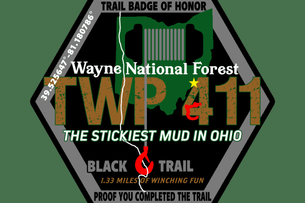
TWP 411 German Cemetery
This is a black trail by color standards at Hatfield and McCoy. Most people will not be able to get through this trail without a winch. If it is raining or has been raining in the week before your ride you may need two vehicles and both have winches to get through this trail. It is the stickiest mud...
Learn more about TWP 411 German Cemetery
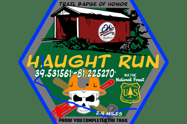
Haught Run
This route is one of the favorites of people from Marietta and surrounding areas. You start the trail at a covered bridge and then you follow Haught run from the end of County road 407 following the stream winding back and forth to the top of the mountain. This trail is high clearance only. Do not a...
Learn more about Haught Run
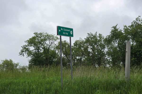
McCausland Hill Road
McCausland Hill Road is a gravel road that is simple to navigate; any car, truck, or SUV can make it through this road without any problems. Very few potholes, a few tight areas, but manageable for two vehicles to pass at once in some locations. Just keep an eye out for downed trees around turns. Th...
Learn more about McCausland Hill Road
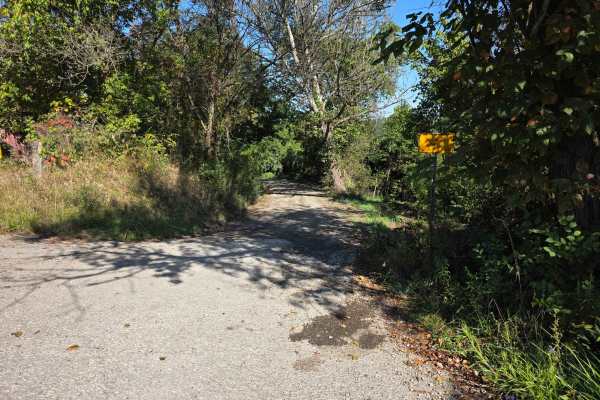
Halstead Hill Road
Halstead Hill Road is a gravel road that is fairly easy with a small hill and a few washboards. A few ninety-degree and one hundred and eighty-degree turns. No real hazards other than occasionally down tree and no guardrail. This road is not maintained in the winter. Cars could make this road.
Learn more about Halstead Hill Road
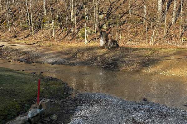
Bean Ridge
This trail starts right off of County Road 25. You then go through a creek crossing, then start your ascent up the hill, crossing multiple rock shelves and very slick red clay, especially after a heavy rain. Four wheel drive is needed as well as high clearance.
Learn more about Bean Ridge
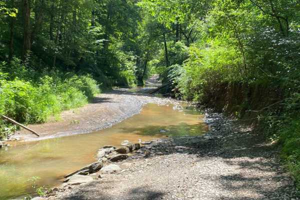
County Route 2 - Wirt County
This is a scenic drive that follows part of Goose Creek in Wirt County, West Virginia. The road is mainly gravel with a few dirt sections and some water crossings but nothing too rough. This road is an absolutely beautiful drive in the fall when the leaves are turning color. There is one stretch of ...
Learn more about County Route 2 - Wirt County

Ritchie Mines OHV CR/30 MacFarlan Road
Located in the central area of Ritchie County in West Virginia is an OHV trail you will never forget. This trail is the main one going through the Ritchie Mine area where it begins on State Highway 47 in MacFarlan, WV, and ends on Gillispie Road or CR 1/7 about 5 miles north from the starting point...
Learn more about Ritchie Mines OHV CR/30 MacFarlan Road
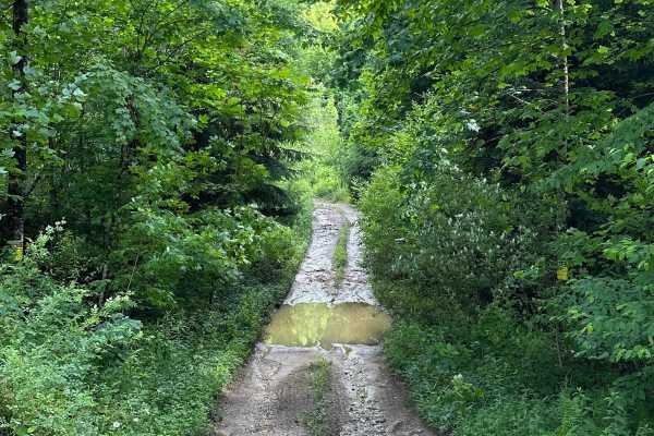
Long Run
This trail can be run in either direction, but this description starts from the north end at the following coordinates: 38.91771, -80.08878. There’s Civil War battle history regarding the bridge that crossed the Middle Fork River in 1861. Please note that this track combines several country roads ad...
Learn more about Long Run
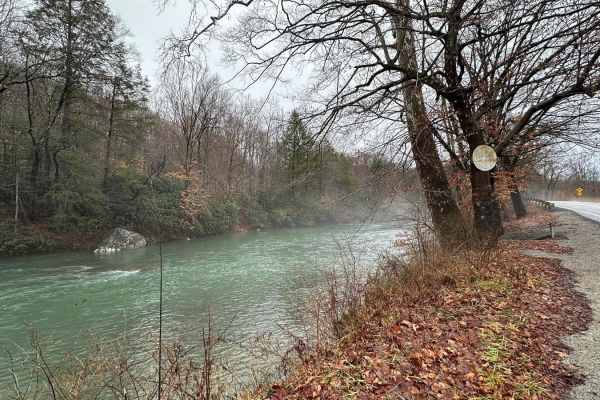
Beans Mill
Start this route in Buckhannon by taking WV-20 south to Sago Road for 5 miles. This section is paved but scenic, running alongside the emerald-hued Buckhannon River. The road transitions to dirt and gravel. At Big Bend Church (38.88129, -80.21359), take the road perpendicular to the parking lot call...
Learn more about Beans Mill
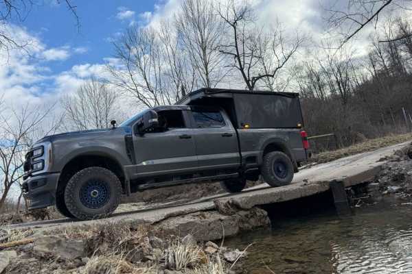
Junkyard Town - low water bridges along Onion Creek - Hackney
This route starts at Junkyard Town (a town owned by an entire family and appears to be an open-air private junkyard). The path winds through the countryside, crossing multiple steel bridges over Meigs Creek, and eventually turns left, crossing a multitude of low-water concrete bridges that will be u...
Learn more about Junkyard Town - low water bridges along Onion Creek - Hackney
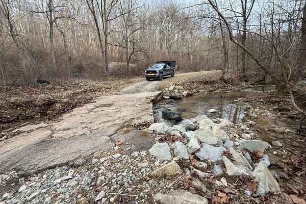
AEP Onion Creek - Allen Run 3 Creek Slab Bridges
Very Steep entry/exit on both ends. The creeks are always flowing and constantly changing the appearance of the roadway. Three sizeable concrete slab bridges span the waterways that wind in and out of the valley as you descend before going right back up again. The western valley ridgeline is very na...
Learn more about AEP Onion Creek - Allen Run 3 Creek Slab Bridges
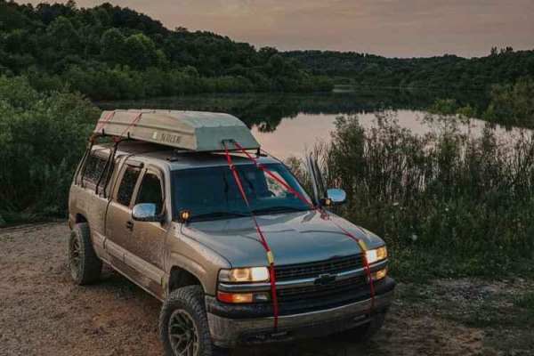
Dye Cemetary Road
This is a very scenic, offroad trail that takes you by some amazing sights. There are off-shutes that offer some fun Ohio mud, large lakes for fishing, as well as some very wide-open hunting opportunities. This trail crosses another great trail named "The Ridge Run" and is mild at the beginning, but...
Learn more about Dye Cemetary Road
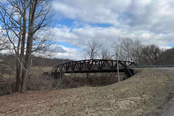
Miners Memorial (Big Muskie Bucket) across Dakota Plains - Junkyardtown
I started at the Big Musky Bucket in the Miners Memorial AEP Picnic area across the main road to a beautiful ridge line backroad with amazing expansive open views that remind me of traveling to the significant plains areas. The road is high-speed gravel and very wide and passes a civil war cemetery ...
Learn more about Miners Memorial (Big Muskie Bucket) across Dakota Plains - Junkyardtown
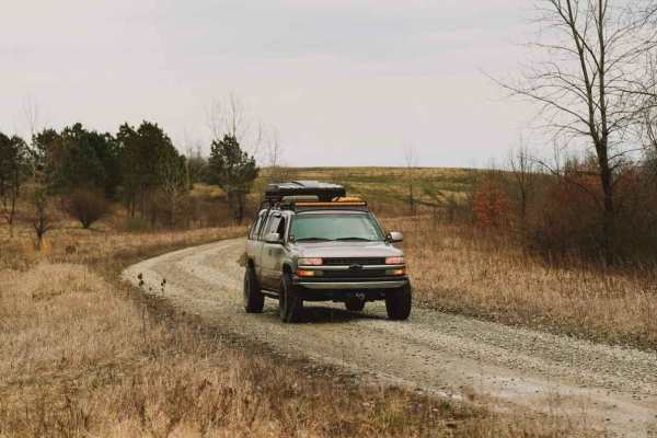
The Ridge Run
This trail is one of my favorites! This track will take you along some of the best sights and open landscapes Ohio has to offer. If you are camping at one of the local dispersed campsites, Overlanding with buddies, scouting for deer, or want to park somewhere and see for miles while eating your favo...
Learn more about The Ridge Run
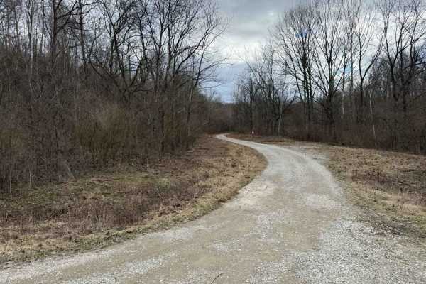
AEP SandHollow Camp C to Equine Day use F no gates
This is a backroad connector route from Campground C to the Equine day-use area. It's a great little route through the woods and along a beautiful clear creek. You will pass by many wonderful ponds that can be fished and even a Civil War cemetery. There are several offshoots for the more adventurous...
Learn more about AEP SandHollow Camp C to Equine Day use F no gates
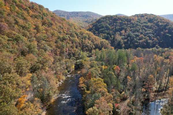
Parsons to Stone Lake Run
Parsons to Stone Lake Run is an easy, scenic gravel route ideal for beginners, overland travelers, and scenic drivers looking to experience the lush forests and river valleys of West Virginia. Spanning approximately 4.3 miles, this trail runs from the town of Parsons toward Stone Lake Run, ultimatel...
Learn more about Parsons to Stone Lake Run
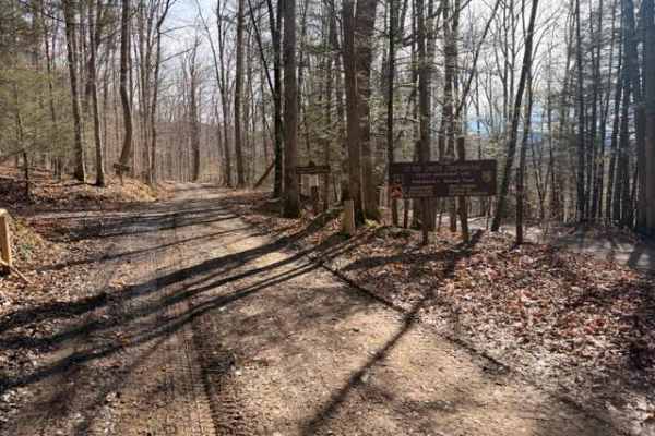
Sugar Camp
A dirt/gravel track with mild elevation gain, no real obstacles. Pay attention to logging, private property signs, etc. With the recent snow and rain, there was a decent amount of mud. This is a good trail for anyone testing out the River Road trail and wanting to mix it up. Additionally, it leads t...
Learn more about Sugar Camp
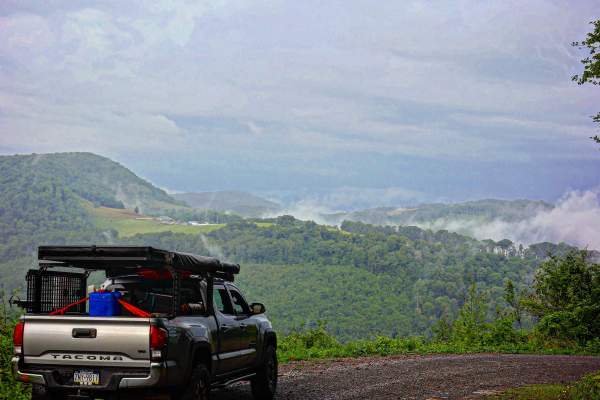
Close Mountain Road
This is the perfect spot to flex your 4 Low. This is a LONG and windy ascent to the top of the mountain. It's a substantially long elevation gain for East Coast travel if you count the hard top to the windmills. This route is mostly gravel with steep climbs and some sharp turns. It's buried amon...
Learn more about Close Mountain Road
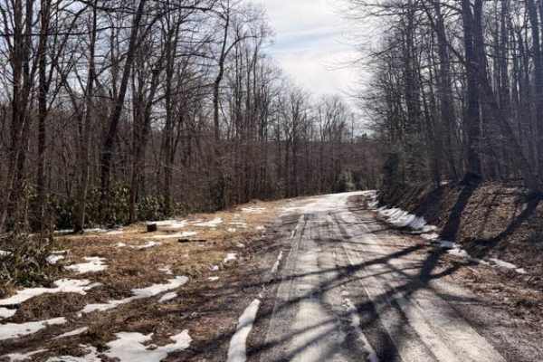
McGowen Mountain
This out-and-back trail is mostly gravel with some dirt mixed in at times. With the recent snow and ice was a beautiful drive. There are good views of the surrounding mountains and the windmills. Very relaxed ride which works well for those who want to take it easy, enjoy the view, and hit the hikin...
Learn more about McGowen Mountain
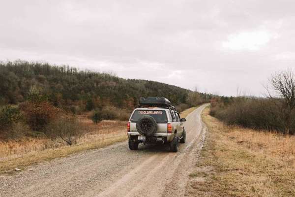
Life Wide Open - Scenic Trail
This trail is short, but VERY scenic and perfect for almost any Subaru-style vehicle. It is an excellent add-on trail in this area and is worth a run-through. Very uncharacteristic for Ohio, this trail has some out west style features! Offering very wide open ranges of rolling hills. While I was run...
Learn more about Life Wide Open - Scenic Trail
ATV trails near Jacksonburg, West Virginia
Explore ATV-friendly trails near you. These trails are accessible for vehicles up to 50 inches wide, perfect for ATVs and smaller off-road machines.
TWP 411 German Cemetery
This is a black trail by color standards at Hatfield and McCoy. Most people will not be able to get through this trail without a winch. If it is raining or has been raining in the week before your ride you may need two vehicles and both have winches to get through this trail. It is the stickiest mud...
Learn more about TWP 411 German Cemetery
Haught Run
This route is one of the favorites of people from Marietta and surrounding areas. You start the trail at a covered bridge and then you follow Haught run from the end of County road 407 following the stream winding back and forth to the top of the mountain. This trail is high clearance only. Do not a...
Learn more about Haught Run
Bean Ridge
This trail starts right off of County Road 25. You then go through a creek crossing, then start your ascent up the hill, crossing multiple rock shelves and very slick red clay, especially after a heavy rain. Four wheel drive is needed as well as high clearance.
Learn more about Bean Ridge
County Route 2 - Wirt County
This is a scenic drive that follows part of Goose Creek in Wirt County, West Virginia. The road is mainly gravel with a few dirt sections and some water crossings but nothing too rough. This road is an absolutely beautiful drive in the fall when the leaves are turning color. There is one stretch of ...
Learn more about County Route 2 - Wirt County
UTV/side-by-side trails near Jacksonburg, West Virginia
Find UTV and side-by-side trails near you. These trails accommodate vehicles up to 60 inches wide, ideal for UTVs, side-by-sides, and wider off-road rigs.
TWP 411 German Cemetery
This is a black trail by color standards at Hatfield and McCoy. Most people will not be able to get through this trail without a winch. If it is raining or has been raining in the week before your ride you may need two vehicles and both have winches to get through this trail. It is the stickiest mud...
Learn more about TWP 411 German Cemetery
Haught Run
This route is one of the favorites of people from Marietta and surrounding areas. You start the trail at a covered bridge and then you follow Haught run from the end of County road 407 following the stream winding back and forth to the top of the mountain. This trail is high clearance only. Do not a...
Learn more about Haught Run
McCausland Hill Road
McCausland Hill Road is a gravel road that is simple to navigate; any car, truck, or SUV can make it through this road without any problems. Very few potholes, a few tight areas, but manageable for two vehicles to pass at once in some locations. Just keep an eye out for downed trees around turns. Th...
Learn more about McCausland Hill Road
Halstead Hill Road
Halstead Hill Road is a gravel road that is fairly easy with a small hill and a few washboards. A few ninety-degree and one hundred and eighty-degree turns. No real hazards other than occasionally down tree and no guardrail. This road is not maintained in the winter. Cars could make this road.
Learn more about Halstead Hill Road
The onX Offroad Difference
onX Offroad combines trail photos, descriptions, difficulty ratings, width restrictions, seasonality, and more in a user-friendly interface. Available on all devices, with offline access and full compatibility with CarPlay and Android Auto. Discover what you're missing today!
Open Trail Map