
Dirt Bike Trails
Near Huron, California
Explore All Dirt Bike Trails Near Huron, California
Dirt Bike Trails Near Huron, California
Discover the best dirt bike trails near you. Browse trail maps, check difficulty ratings, and find your next adventure — whether you're looking for a quick ride or an all-day expedition.
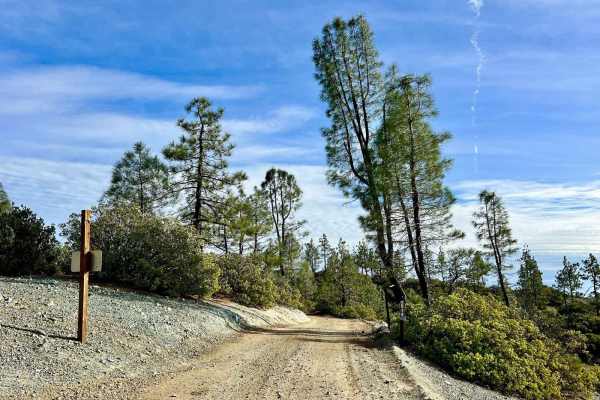
Aurora Cutoff R14
Aurora Cutoff R14 is a narrow two-track trail that traces the top of a ridge, leading you toward the historic Aurora Mine. This scenic route offers plenty of opportunities to explore single-track trails branching off to either side, inviting you to venture deeper into the area's rugged beauty. The m...
Learn more about Aurora Cutoff R14
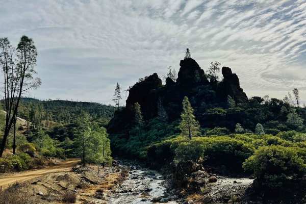
R1 Clear Creek Road
R1 Clear Creek Road lives up to its namesake by following the crisp, flowing waters of Clear Creek as it twists and winds through the canyon toward the hills. This trail provides an enjoyable adventure, rated as a 2, making it accessible for many vehicles. Be aware that there is no cell service alon...
Learn more about R1 Clear Creek Road
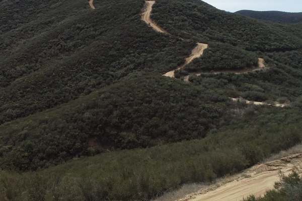
16E08 Las Chiches
Las Chiches is a short trail rated as difficult because of its steep inclines. There are incredible views as you traverse the ridge line in La Panza Range within Los Padres National Forest. The trail is located between Navajo Flat OHV and Turkey Flats OHV, and it is shared route with dirt bikes and ...
Learn more about 16E08 Las Chiches
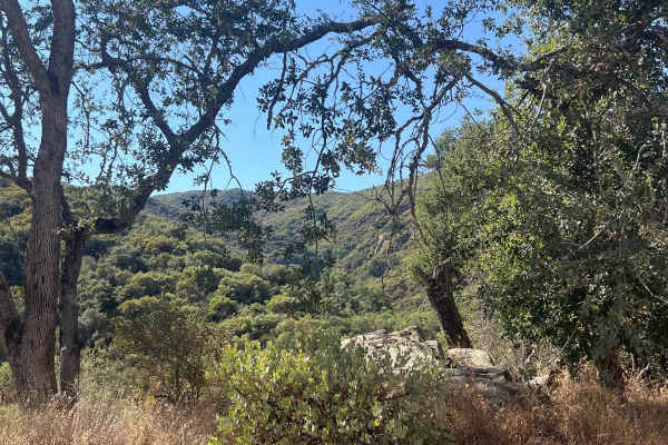
Hi Mountain Road
This trail is part of Los Padres National Forest. This trail is for street-legal vehicles only. Can either start from either Pozo or Lake Lopez side. High clearance is needed for the numerous seasonal creek crossings, especially on the Lopez side. Even though recently graded there are few deep ruts ...
Learn more about Hi Mountain Road
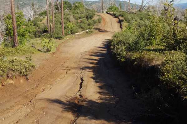
Jose Basin
This is the primary dirt road running through the Jose Creek Basin in the Sierra National Forest and connects the north end of Jose Basin Road to Auberry Road/Highway 168. It is wide enough in most places to allow vehicles to pass each other. Depending on the weather, there could be occasional muddy...
Learn more about Jose Basin
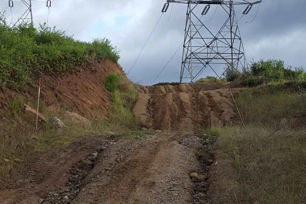
Rector Line 9S006
Rector Line (Forest Service Road 9S006) is a rugged backcountry route in the Sierra National Forest, best suited for high-clearance 4x4 rigs and seasoned drivers looking for a remote challenge near Shaver Lake. This trail stands out for its mix of decomposed granite, embedded rock, and steep, off-ca...
Learn more about Rector Line 9S006
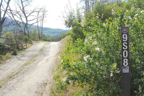
Sugarloaf - FS 9S08
This is a point-to-point single vehicle-width trail in the Jose Creek Basin area. The surface is primarily packed dirt with short stretches of gravel. There can also be shallow ruts and mud holes frequently along the route. This trail will pass through both a section of forest with fire damage and a...
Learn more about Sugarloaf - FS 9S08
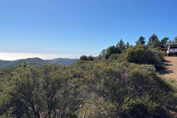
4 South Coast Road-20S05.5
This trail mostly follows a chaparral ridge in the southern part of Big Sur. This trail includes dramatic valley and ocean views. There is dispersed camping and established campgrounds. This trail goes adjacent to Fort Hunter Liggett which is a testing ground for artillery. Before this trail starts ...
Learn more about 4 South Coast Road-20S05.5
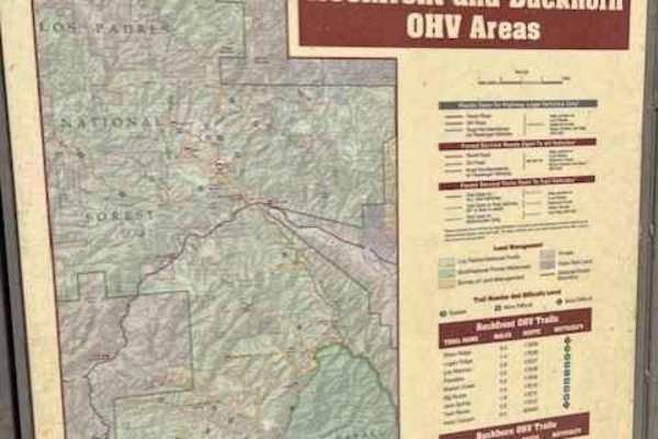
Ride around Rockfront
Fun loop around Rockfront OHV. This loop shows you everything Rockfront has to offer the Central Coast of California;steep climbs, jumpy fast double track, and lots of dust! This loop also brings you to Baja Campground. Enjoy the double track with anything from a moto to a full-sized 4x4.
Learn more about Ride around Rockfront
ATV trails near Huron, California
Explore ATV-friendly trails near you. These trails are accessible for vehicles up to 50 inches wide, perfect for ATVs and smaller off-road machines.
Aurora Cutoff R14
Aurora Cutoff R14 is a narrow two-track trail that traces the top of a ridge, leading you toward the historic Aurora Mine. This scenic route offers plenty of opportunities to explore single-track trails branching off to either side, inviting you to venture deeper into the area's rugged beauty. The m...
Learn more about Aurora Cutoff R14
R1 Clear Creek Road
R1 Clear Creek Road lives up to its namesake by following the crisp, flowing waters of Clear Creek as it twists and winds through the canyon toward the hills. This trail provides an enjoyable adventure, rated as a 2, making it accessible for many vehicles. Be aware that there is no cell service alon...
Learn more about R1 Clear Creek Road
16E08 Las Chiches
Las Chiches is a short trail rated as difficult because of its steep inclines. There are incredible views as you traverse the ridge line in La Panza Range within Los Padres National Forest. The trail is located between Navajo Flat OHV and Turkey Flats OHV, and it is shared route with dirt bikes and ...
Learn more about 16E08 Las Chiches
Jose Basin
This is the primary dirt road running through the Jose Creek Basin in the Sierra National Forest and connects the north end of Jose Basin Road to Auberry Road/Highway 168. It is wide enough in most places to allow vehicles to pass each other. Depending on the weather, there could be occasional muddy...
Learn more about Jose Basin
UTV/side-by-side trails near Huron, California
Find UTV and side-by-side trails near you. These trails accommodate vehicles up to 60 inches wide, ideal for UTVs, side-by-sides, and wider off-road rigs.
Aurora Cutoff R14
Aurora Cutoff R14 is a narrow two-track trail that traces the top of a ridge, leading you toward the historic Aurora Mine. This scenic route offers plenty of opportunities to explore single-track trails branching off to either side, inviting you to venture deeper into the area's rugged beauty. The m...
Learn more about Aurora Cutoff R14
R1 Clear Creek Road
R1 Clear Creek Road lives up to its namesake by following the crisp, flowing waters of Clear Creek as it twists and winds through the canyon toward the hills. This trail provides an enjoyable adventure, rated as a 2, making it accessible for many vehicles. Be aware that there is no cell service alon...
Learn more about R1 Clear Creek Road
Jose Basin
This is the primary dirt road running through the Jose Creek Basin in the Sierra National Forest and connects the north end of Jose Basin Road to Auberry Road/Highway 168. It is wide enough in most places to allow vehicles to pass each other. Depending on the weather, there could be occasional muddy...
Learn more about Jose Basin
Rector Line 9S006
Rector Line (Forest Service Road 9S006) is a rugged backcountry route in the Sierra National Forest, best suited for high-clearance 4x4 rigs and seasoned drivers looking for a remote challenge near Shaver Lake. This trail stands out for its mix of decomposed granite, embedded rock, and steep, off-ca...
Learn more about Rector Line 9S006
The onX Offroad Difference
onX Offroad combines trail photos, descriptions, difficulty ratings, width restrictions, seasonality, and more in a user-friendly interface. Available on all devices, with offline access and full compatibility with CarPlay and Android Auto. Discover what you're missing today!
Open Trail Map