
Dirt Bike Trails
Near Hooks, Texas
Explore All Dirt Bike Trails Near Hooks, Texas
Dirt Bike Trails Near Hooks, Texas
Discover the best dirt bike trails near you. Browse trail maps, check difficulty ratings, and find your next adventure — whether you're looking for a quick ride or an all-day expedition.
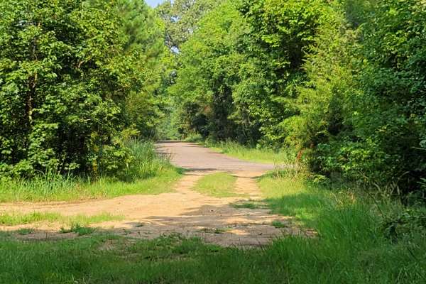
Low Water Bridge on Lake Wright Patman
This route starts off of Hwy 67 just west of Texarkana and goes to the low water bridge that crosses part of Wright Patman Lake. There are plenty of areas to fish. Bring a kayak because there is water access on each side of the bridge and plenty of parking. The low water bridge does close when heav...
Learn more about Low Water Bridge on Lake Wright Patman
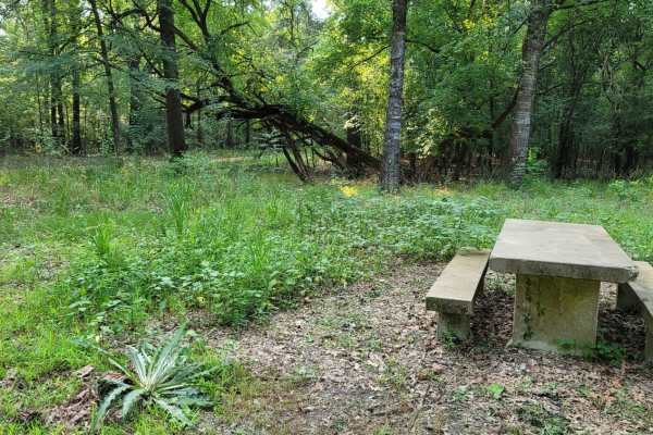
Trail to the Sulphur River
This easy scenic drive is ideal for beginners, families, and outdoor enthusiasts looking for convenient access to primitive camping and a boat launch on the Sulphur River. Starting at the intersection of Highway 67 and Highway 8 near Maud, Texas, this 4.4-mile route crosses railroad tracks and follo...
Learn more about Trail to the Sulphur River
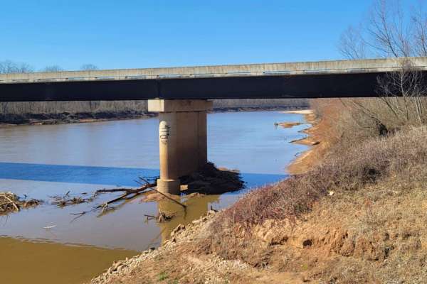
Follow the Red River
This 30-mile route follows along the Northside of the Red River. This East to West route is almost completely gravel roads. The roads are maintained but can be nasty after or during rains. Although you may not see a lot of the river, you will see lots of pasture land with livestock, creeks with brid...
Learn more about Follow the Red River
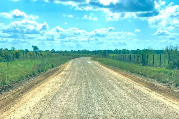
Tuckers Corner CR4306
This is a rural dirt road that winds through open cattle fields, featuring minor washes along the route. The road surface is a mix of gravel and red dirt, with narrow passing lanes in certain areas that require caution when meeting oncoming traffic. It is generally passable in dry conditions but can...
Learn more about Tuckers Corner CR4306
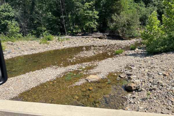
Union Valley Road
This is a basic road with a wonderfully scenic view of the back side of the Broken Bow Lake area. This runs by a wildlife area and is the access road to lots of Forest Service roads and areas. We utilize this as a base road to get to a lot of the "backroads and logging roads" that have been abandone...
Learn more about Union Valley Road
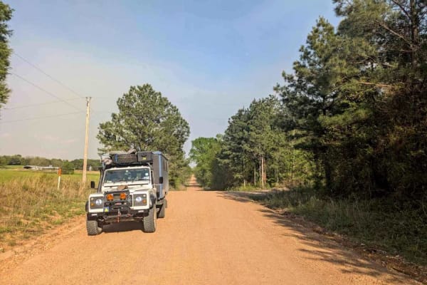
Skipjack Road
This well-maintained gravel trail lies just beyond the logging district and runs parallel to the highway, offering a scenic journey through a charming rural landscape. As the trail winds past a variety of homesteads, chicken farms, and small holdings, it unveils expansive green pastures complemented...
Learn more about Skipjack Road
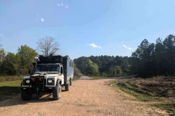
Old Windship Road
This well-maintained gravel trail begins in an agricultural area and gradually leads back into active logging zones. Along the route, there is a relatively steep ascent into a region heavily impacted by fire and logging activities, which has become a popular destination for hunters. Several side tra...
Learn more about Old Windship Road
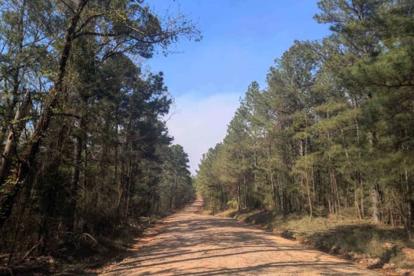
Tableville Road
This well-maintained gravel trail begins by leading past charming smallholdings before it gradually enters an active logging area, where logging vehicles frequently travel at speed and caution is necessary. The route broadens into several ascents and descents and can become corrugated in certain sec...
Learn more about Tableville Road
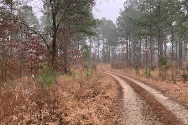
Hidden Camp Trail
This trail takes you down to several areas where you can camp and hike to Presbyterian Falls on the Mountain Fork River. The trail does not have many hazards till you reach the end. The end is tight with a small water crossing and a muddy portion. The ending campsite is secluded in the trees near th...
Learn more about Hidden Camp Trail
50240 - Tree Valley Trail
50240 - Tree Valley Trail is a short, scenic 1.1-mile spur trail ideal for beginner offroaders, campers, and those looking to explore the beautiful valleys near the Mountain Fork River. Winding through dense forest terrain with a gentle elevation range between 432 and 484 feet, this simple two-track...
Learn more about 50240 - Tree Valley Trail
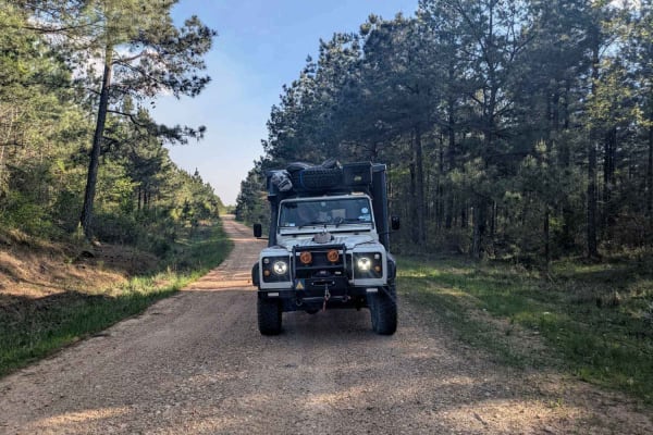
E1970
This off-road trail is generally well maintained, although it is narrower than some of the other routes and features rough sections with potholes caused by rainfall. Numerous branching paths extend from the main trail, and the frequent deer sightings suggest that it is popular with hunters. While th...
Learn more about E1970
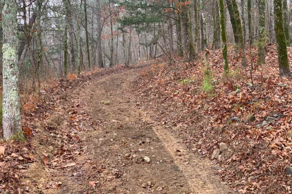
Fish Fry Creek Road
This beautiful trail takes you down to the Mountain Fork River edge. This is one of the few trails in the area that you can actually descend all the way to the water and camp on the banks of the Mountain Fork River. There are some muddy puddles and some spots of erosion that you will need require te...
Learn more about Fish Fry Creek Road
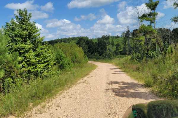
Road 263 to HWY342
Road 263 to HWY342 is an easy 6.8-mile gravel connector near Dierks, Arkansas, offering a scenic drive through the rolling pine and hardwood forests of the region. Ideal for beginners and any standard utility vehicle, this route features a technical rating of 1, consisting mostly of flat, loose grav...
Learn more about Road 263 to HWY342
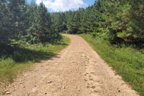
Striking Snake Route
Loose Gravel roads with a few small stream crossings. Concrete bridges cover most of the streams that will be crossed. During heavy rain some areas could be blocked. There are some nice inclines and beautiful views in this area.
Learn more about Striking Snake Route
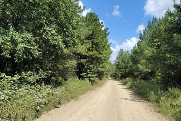
Cut Across to Gillham Road
Cut Across to Gillham Road is an approachable yet scenic 6.5-mile unpaved connector perfect for beginner offroaders, SxSs, and high-clearance four-wheel-drive vehicles seeking a direct route toward Gillham Lake. Winding through the dense woodlands of Howard and Sevier counties, this trail offers a s...
Learn more about Cut Across to Gillham Road
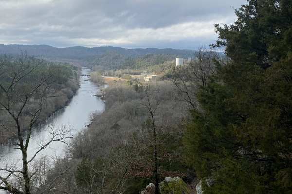
Rattlesnake Bluff
Rattlesnake Bluff is an appealing, scenic trail for offroaders seeking a mild yet engaging route through the dense woodlands near Broken Bow Lake. Measuring approximately 4 miles in length with a minimal elevation change, this route is ideal for stock high-clearance four-wheel-drive vehicles, SxSs, ...
Learn more about Rattlesnake Bluff
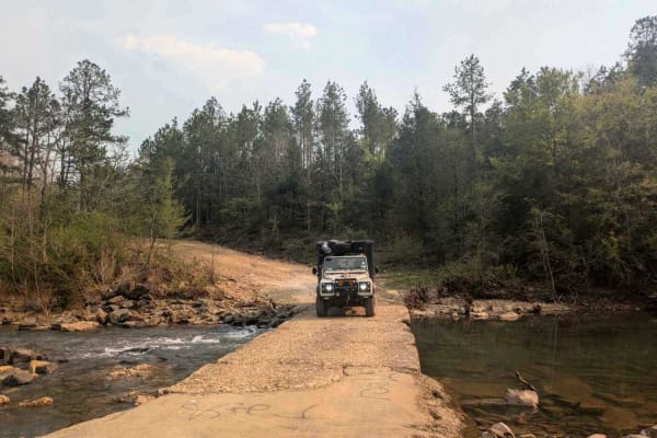
Lim Due Road
This off-road trail is generally well-maintained and crosses through an active logging area. At the outset, the route features a relatively steep descent that leads to a concrete bridge spanning a stream, where camping may be possible nearby. Numerous offshoots extend from the main track, most of wh...
Learn more about Lim Due Road
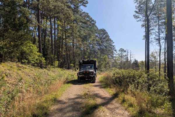
50297
Although this trail is short, it is certainly worth exploring. It is a narrow, winding, and rocky route that remains a pleasant drive for most vehicles as it cuts through a dense forest. The trail eventually comes to a dead end that offers an ideal spot for a lengthy picnic, surrounded by nature and...
Learn more about 50297
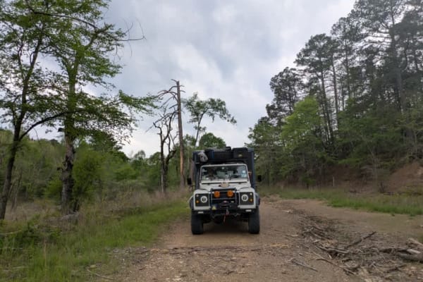
313 Road
This trail offers a pleasant drive that begins in a healthy, mature forest and gradually climbs into areas of newer forest growth. The route is winding and includes several gentle ascents and descents, with patches of loose gravel that may require careful driving in places. After an intersection, th...
Learn more about 313 Road
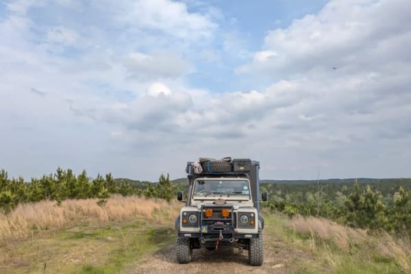
31867
This trail is a scenic dual track that winds through forested terrain and features occasional rocky sections, gentle ascents, and descents. It passes through areas of logged forest and requires multiple stream crossings without bridges, which can become hazardous during or after heavy rain. A single...
Learn more about 31867
ATV trails near Hooks, Texas
Explore ATV-friendly trails near you. These trails are accessible for vehicles up to 50 inches wide, perfect for ATVs and smaller off-road machines.
Tuckers Corner CR4306
This is a rural dirt road that winds through open cattle fields, featuring minor washes along the route. The road surface is a mix of gravel and red dirt, with narrow passing lanes in certain areas that require caution when meeting oncoming traffic. It is generally passable in dry conditions but can...
Learn more about Tuckers Corner CR4306
Union Valley Road
This is a basic road with a wonderfully scenic view of the back side of the Broken Bow Lake area. This runs by a wildlife area and is the access road to lots of Forest Service roads and areas. We utilize this as a base road to get to a lot of the "backroads and logging roads" that have been abandone...
Learn more about Union Valley Road
Skipjack Road
This well-maintained gravel trail lies just beyond the logging district and runs parallel to the highway, offering a scenic journey through a charming rural landscape. As the trail winds past a variety of homesteads, chicken farms, and small holdings, it unveils expansive green pastures complemented...
Learn more about Skipjack Road
Old Windship Road
This well-maintained gravel trail begins in an agricultural area and gradually leads back into active logging zones. Along the route, there is a relatively steep ascent into a region heavily impacted by fire and logging activities, which has become a popular destination for hunters. Several side tra...
Learn more about Old Windship Road
UTV/side-by-side trails near Hooks, Texas
Find UTV and side-by-side trails near you. These trails accommodate vehicles up to 60 inches wide, ideal for UTVs, side-by-sides, and wider off-road rigs.
Tuckers Corner CR4306
This is a rural dirt road that winds through open cattle fields, featuring minor washes along the route. The road surface is a mix of gravel and red dirt, with narrow passing lanes in certain areas that require caution when meeting oncoming traffic. It is generally passable in dry conditions but can...
Learn more about Tuckers Corner CR4306
Union Valley Road
This is a basic road with a wonderfully scenic view of the back side of the Broken Bow Lake area. This runs by a wildlife area and is the access road to lots of Forest Service roads and areas. We utilize this as a base road to get to a lot of the "backroads and logging roads" that have been abandone...
Learn more about Union Valley Road
Skipjack Road
This well-maintained gravel trail lies just beyond the logging district and runs parallel to the highway, offering a scenic journey through a charming rural landscape. As the trail winds past a variety of homesteads, chicken farms, and small holdings, it unveils expansive green pastures complemented...
Learn more about Skipjack Road
Old Windship Road
This well-maintained gravel trail begins in an agricultural area and gradually leads back into active logging zones. Along the route, there is a relatively steep ascent into a region heavily impacted by fire and logging activities, which has become a popular destination for hunters. Several side tra...
Learn more about Old Windship Road
The onX Offroad Difference
onX Offroad combines trail photos, descriptions, difficulty ratings, width restrictions, seasonality, and more in a user-friendly interface. Available on all devices, with offline access and full compatibility with CarPlay and Android Auto. Discover what you're missing today!
Open Trail Map