Trail Overview
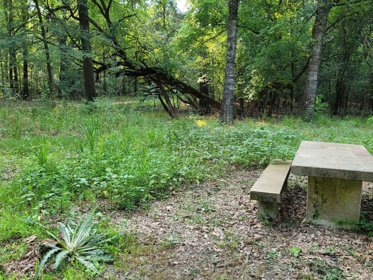
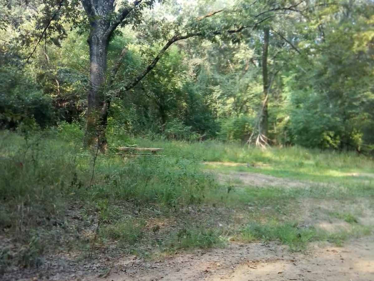
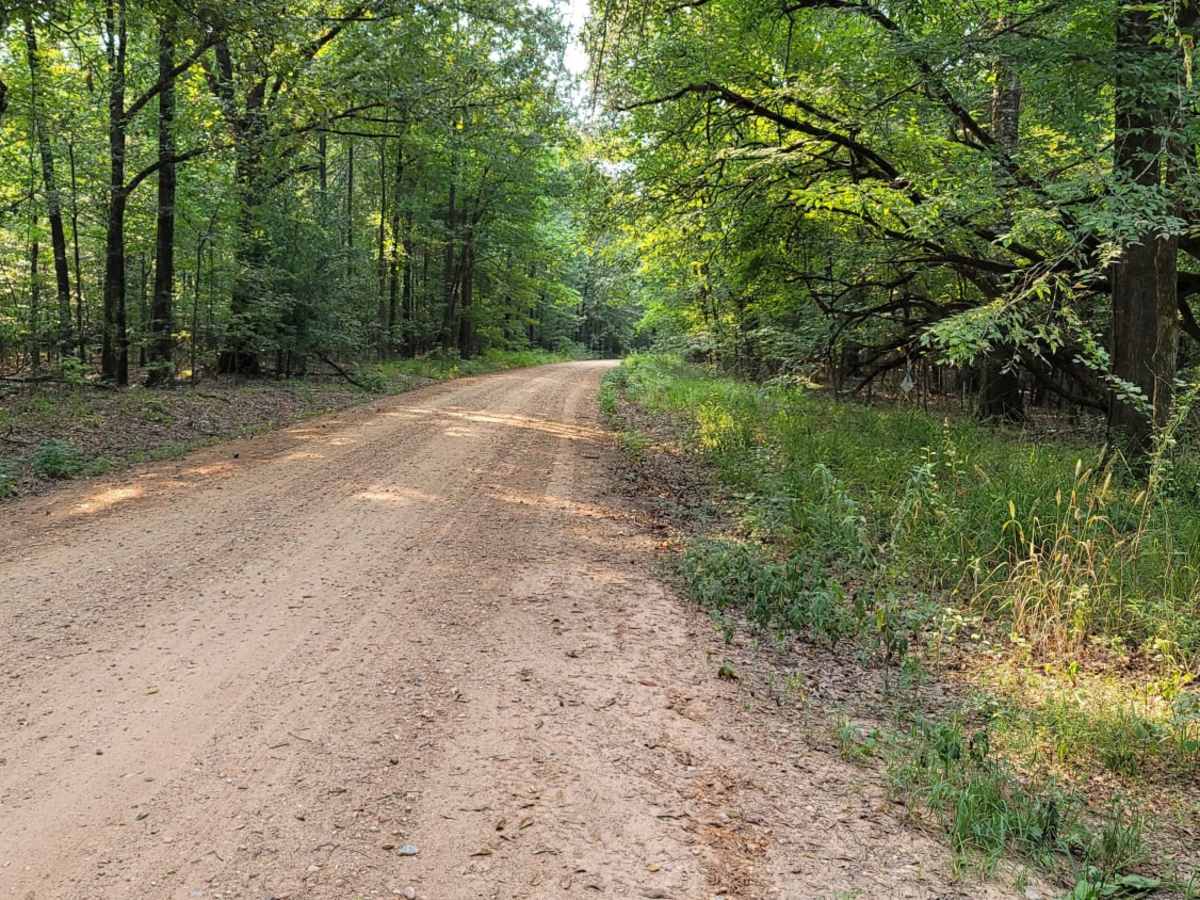
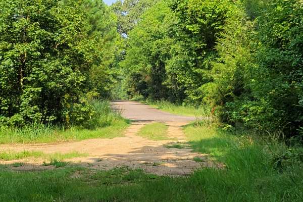
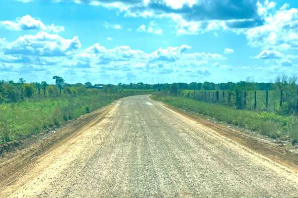
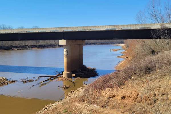
This easy scenic drive is ideal for beginners, families, and outdoor enthusiasts looking for convenient access to primitive camping and a boat launch on the Sulphur River. Starting at the intersection of Highway 67 and Highway 8 near Maud, Texas, this 4.4-mile route crosses railroad tracks and follows a well-maintained gravel road. The trail experiences a mild elevation drop of about 75 feet as it descends toward the river, maintaining an easy-going pace suitable for standard vehicles. Along the route, travelers will find several quiet picnic areas equipped with concrete tables and fire rings, perfect for a day trip or an overnight stay.
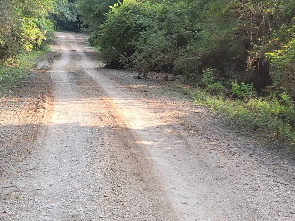
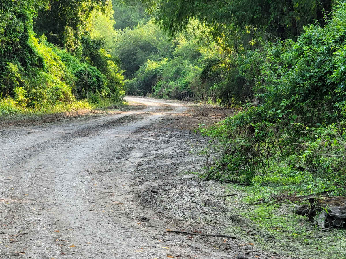
While standard two-wheel-drive vehicles, SxSs, and high-clearance rigs can easily traverse the gravel surface when dry, wet weather and heavy rain can quickly cause sections of the route to flood and become extremely muddy, requiring four-wheel-drive. Travelers should be prepared for local wildlife, including snakes, and heavy mosquito activity, especially near the primitive camping areas. This region is popular for hunting, so seasonal awareness is recommended. Historically known as "the monument" and once a popular destination for four-wheel-drive mudding, the route is now strictly managed to preserve the environment, with a dirt boat ramp at the end providing a perfect launching point for fishing on the Sulphur River.
History
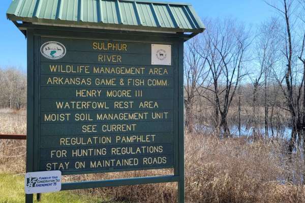
Historically referred to as "the monument" by locals, this route was once a well-known gathering point where large four-wheel-drive vehicles would play in massive mud holes. This activity is no longer permitted, and the road has since been improved and stabilized.