
Dirt Bike Trails
Near Haugan, Montana
Explore All Dirt Bike Trails Near Haugan, Montana
Dirt Bike Trails Near Haugan, Montana
Discover the best dirt bike trails near you. Browse trail maps, check difficulty ratings, and find your next adventure — whether you're looking for a quick ride or an all-day expedition.
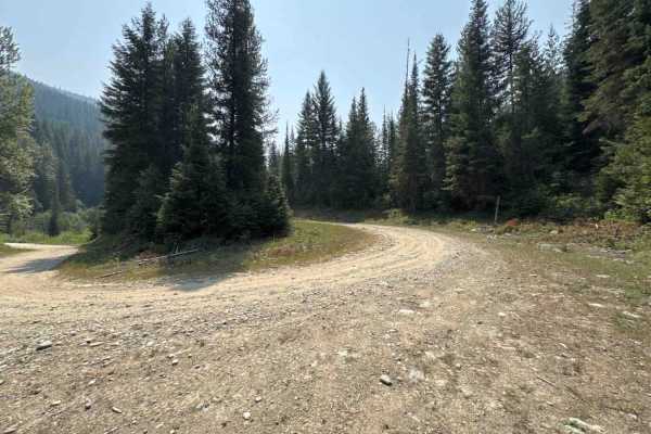
Rivers Creek - FS 3820
Rivers Creek FS - 3820 extends south from Big Creek - FS 386 and can create a loop utilizing multiple road segments. It provides a mostly easy, windy trail through steep valleys and hillsides, offering views to the east and north. You will see decent-sized Western Redcedar and Inland Douglas-Fir, ...
Learn more about Rivers Creek - FS 3820
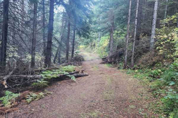
Cromie Creek
Cromie Creek is USFS road #3818 in the Bitterroot Mountains of western Montana, close to the Idaho border. This infrequently used route leads to the terminating junction near the base of the Up Up fire lookout tower. The primary route, via Canyon Creek, also terminates at this junction, though the g...
Learn more about Cromie Creek
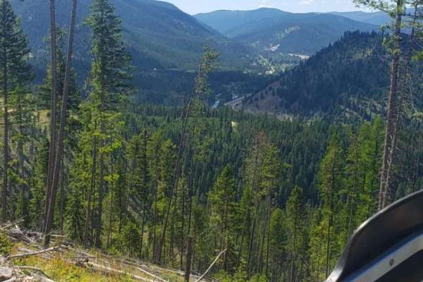
Up Up Lookout Loop
This is a single-track, maintained trail, but may have blowdown in the spring. It can be accessed by either side, and both sides of the trail are aggressive climbs that meet at the fire lookout. A small portion of the trail is a forest service road. Features include steep uphills, tight switchbacks...
Learn more about Up Up Lookout Loop
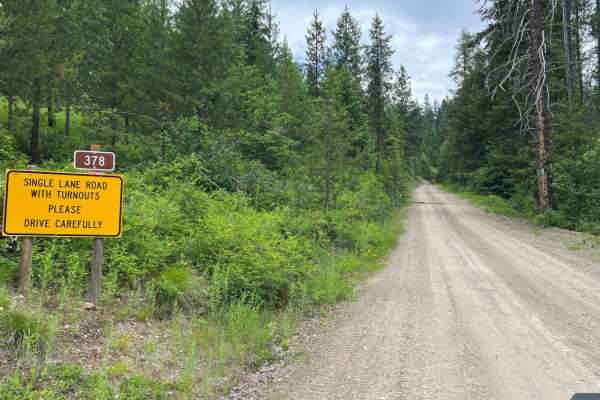
Rock Creek Trail - 4W-378
Rock Creek Trail (4W-378) travels north outside of De Borgia approximately 6 miles before reaching the 42-378/FSR-378/FSR-444 intersect. Before entering the trail, a paved section of road winds through rural development. The start of the trail is where pavement ends and dirt begins, with a large yel...
Learn more about Rock Creek Trail - 4W-378
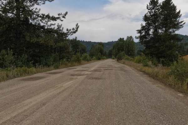
Old Milwaukee Grade- FS 300-1
The route begins at the parking area just off I-90 or the parking area of the famous Hideout Bar and Restaurant in DeBorgia. The route is made up of mostly gravel with plenty of room for two vehicles to pass. Some rock slides dot the route. Gentle curves and quite a few potholes make up parts of the...
Learn more about Old Milwaukee Grade- FS 300-1
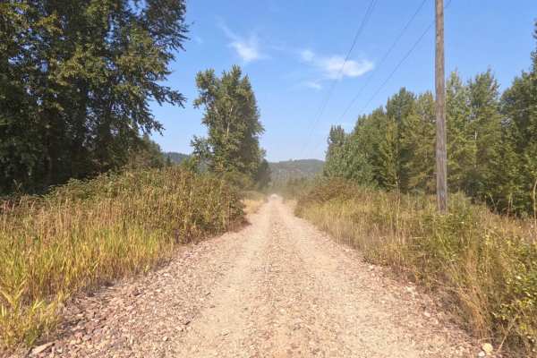
Saltese - St. Paul Pass
The route begins on the Haugan/Randolph Creek Loop Rd from Saltese. The route parallels both the St. Regis River and Old Milwaukee Grade. The route is two lanes and made up of a smooth gravel base with gentle curves and open areas to view. The route can be very dusty in dry conditions, but great to ...
Learn more about Saltese - St. Paul Pass
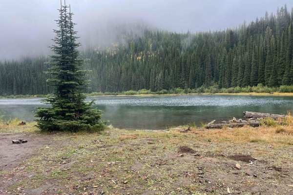
Silver Creek to Silver Lake
This trail is just outside Saltese, Montana. It starts as a pretty mild road going under an old train trestle bridge with a long uphill pull for about 4 miles. The last half mile is a nice gradual downhill into the lake. The road has some slight washouts going down the tracks from recent rainfall. I...
Learn more about Silver Creek to Silver Lake
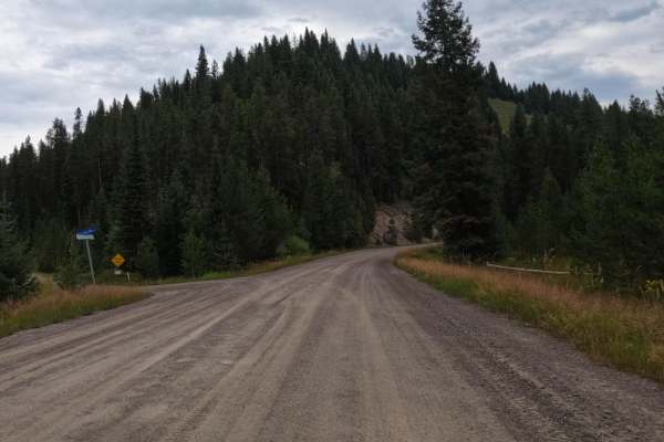
$50,000 Silver Dollar Inn - FSR 288
This trail starts just to the North of the Old Montana Club on Timber Creek Road. The route is very wide and made up of gravel and some small areas of pavement. Gentle curves and some beautiful ranches line the route. The route could be dusty in dry conditions. Cell service is available on the route...
Learn more about $50,000 Silver Dollar Inn - FSR 288
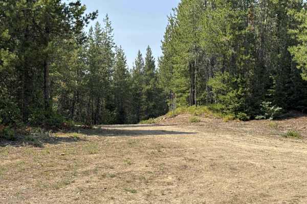
Middle Fork Big Creek - FS 1181
Middle Fork Big Creek - FS 1181 extends south from Big Creek - FS 386 and can create a loop utilizing multiple road segments. It provides a mostly easy, windy trail through steep valleys and hillsides, offering views to the west and north. You will see a variety of tree species and wildflowers with ...
Learn more about Middle Fork Big Creek - FS 1181
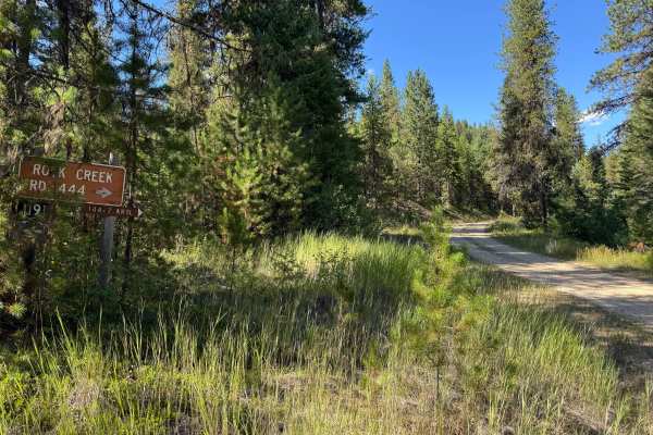
Rock Creek Road - FSR 444
This road can be accessed from Twelve Mile Road off of I90 near Henderson. With a few easy switch back's, and a good graded road, it is a nice easy cruise for any vehicle. During heavy rain or snowmelt, 2WD is not recommended due to potential slippery native dirt surfaces and deeper mud puddles. Thi...
Learn more about Rock Creek Road - FSR 444
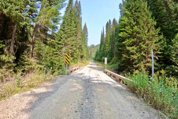
Cabin City
The route is mainly two-lane, made up of dirt and gravel. Long straight aways and sharp corners make up the route. There are spots with deep drops right next to the side of the route. The route runs next to Twelve Mile Creek with several narrow bridges running over the creek. No cell service was fou...
Learn more about Cabin City
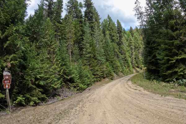
Canyon Creek (3816)-Cromie Creek (236)
The route is mainly made up of gravel and dirt that can be dusty in dry conditions. The route is mainly two-lane with some narrow sections. The route will take you from 3300'-5500' at its highest point. Gentle curves with some steep embankments will be found along the route. Cell service is very spo...
Learn more about Canyon Creek (3816)-Cromie Creek (236)
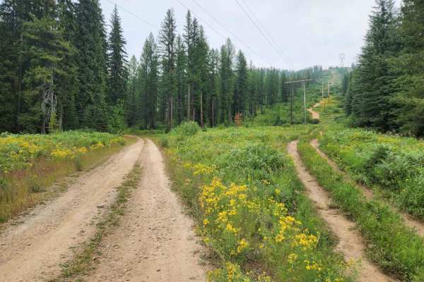
Taft Summit
Taft Summit is a moderately frequented mountain pass road between Taft, Idaho, and Thompson Falls, Montana with fantastic views and abundant wildlife. The official route name is National Forest Development Road 7709. Huckleberry pickers love this area, the only downside is that it runs parallel to h...
Learn more about Taft Summit
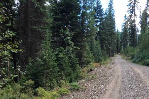
West Tower - FS 7759
This trail is mainly two vehicles wide, with plenty of room to get by other vehicles. The route is made up of very smooth gravel with its share of sharp corners and many gradual turns. Some steep embankments will be encountered in sections of the route. The route basically follows the high-tension l...
Learn more about West Tower - FS 7759
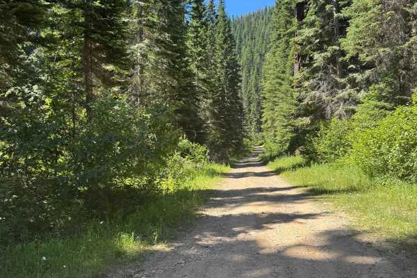
Dominion Creek
This is a great route up to the state line, avoiding the Hiawatha traffic. The route is more primitive and is a little overgrown in places, but is passable by any 4wd vehicle. To access from the bottom, take the Taft exit and take the dirt frontage road east 1/2 mile to the trailhead.
Learn more about Dominion Creek
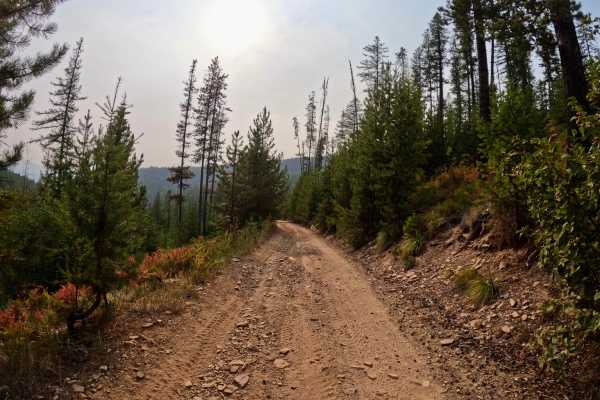
Thompson Falls and Rock Creek Trail - FS 352 / 378
This route begins at the 3-way intersection of Forest Service Roads 352, 378, and 419 from the Thompson Falls Trail. The route is two-lane for a short spell and turns into one lane of bony rock and gravel. The route is very rough in sections with ruts and steep drops close to the edge of the route. ...
Learn more about Thompson Falls and Rock Creek Trail - FS 352 / 378
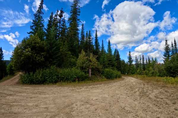
Newman Ridge Road (1185) - Canyon Creek Road (3816)
The trail is mainly made up of gravel with a few potholes filled with water from a few springs in the area. Some rocky sections will be encountered along the route as steep rock ledges dot the sides of the trail in places. The trail is mostly wide enough to get past another vehicle. You will be desc...
Learn more about Newman Ridge Road (1185) - Canyon Creek Road (3816)
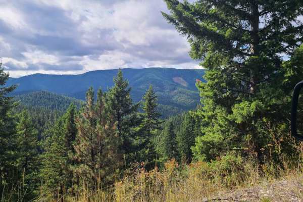
Camels Hump - FS 3800
Camels Hump Lookout is USFS road 3800, a lightly traveled gravel road through Lolo National Forest east of Henderson, Montana. The road is moderately traveled and has a mild incline never exceeding a 6% grade. It is easily traveled by all vehicles except when snow or ice covered. The roadway is subj...
Learn more about Camels Hump - FS 3800
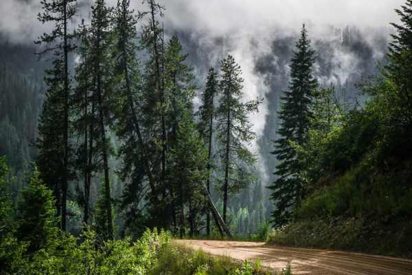
Cliff Creek
This is a graded dirt road in the St. Joe National forest that leaves from the summit of Saint Paul Pass, and continues a steady grade down hill to the intersection with Loop Creek Road. This is the main route to get to the East Portal of the Route to Hiawatha trail. It's graded the whole way, but h...
Learn more about Cliff Creek
Dry Creek-Cliff Creek
The route is mainly a gravel two-lane roadway that will narrow down to one lane in spots. The route can have areas of loose rock and stone with many ruts when passing up or down in elevation. The route can be very dusty during dry conditions. The route has its share of steep embankments and very cur...
Learn more about Dry Creek-Cliff Creek
ATV trails near Haugan, Montana
Explore ATV-friendly trails near you. These trails are accessible for vehicles up to 50 inches wide, perfect for ATVs and smaller off-road machines.
Rivers Creek - FS 3820
Rivers Creek FS - 3820 extends south from Big Creek - FS 386 and can create a loop utilizing multiple road segments. It provides a mostly easy, windy trail through steep valleys and hillsides, offering views to the east and north. You will see decent-sized Western Redcedar and Inland Douglas-Fir, ...
Learn more about Rivers Creek - FS 3820
Cromie Creek
Cromie Creek is USFS road #3818 in the Bitterroot Mountains of western Montana, close to the Idaho border. This infrequently used route leads to the terminating junction near the base of the Up Up fire lookout tower. The primary route, via Canyon Creek, also terminates at this junction, though the g...
Learn more about Cromie Creek
Rock Creek Trail - 4W-378
Rock Creek Trail (4W-378) travels north outside of De Borgia approximately 6 miles before reaching the 42-378/FSR-378/FSR-444 intersect. Before entering the trail, a paved section of road winds through rural development. The start of the trail is where pavement ends and dirt begins, with a large yel...
Learn more about Rock Creek Trail - 4W-378
Old Milwaukee Grade- FS 300-1
The route begins at the parking area just off I-90 or the parking area of the famous Hideout Bar and Restaurant in DeBorgia. The route is made up of mostly gravel with plenty of room for two vehicles to pass. Some rock slides dot the route. Gentle curves and quite a few potholes make up parts of the...
Learn more about Old Milwaukee Grade- FS 300-1
UTV/side-by-side trails near Haugan, Montana
Find UTV and side-by-side trails near you. These trails accommodate vehicles up to 60 inches wide, ideal for UTVs, side-by-sides, and wider off-road rigs.
Rivers Creek - FS 3820
Rivers Creek FS - 3820 extends south from Big Creek - FS 386 and can create a loop utilizing multiple road segments. It provides a mostly easy, windy trail through steep valleys and hillsides, offering views to the east and north. You will see decent-sized Western Redcedar and Inland Douglas-Fir, ...
Learn more about Rivers Creek - FS 3820
Cromie Creek
Cromie Creek is USFS road #3818 in the Bitterroot Mountains of western Montana, close to the Idaho border. This infrequently used route leads to the terminating junction near the base of the Up Up fire lookout tower. The primary route, via Canyon Creek, also terminates at this junction, though the g...
Learn more about Cromie Creek
Rock Creek Trail - 4W-378
Rock Creek Trail (4W-378) travels north outside of De Borgia approximately 6 miles before reaching the 42-378/FSR-378/FSR-444 intersect. Before entering the trail, a paved section of road winds through rural development. The start of the trail is where pavement ends and dirt begins, with a large yel...
Learn more about Rock Creek Trail - 4W-378
Old Milwaukee Grade- FS 300-1
The route begins at the parking area just off I-90 or the parking area of the famous Hideout Bar and Restaurant in DeBorgia. The route is made up of mostly gravel with plenty of room for two vehicles to pass. Some rock slides dot the route. Gentle curves and quite a few potholes make up parts of the...
Learn more about Old Milwaukee Grade- FS 300-1
The onX Offroad Difference
onX Offroad combines trail photos, descriptions, difficulty ratings, width restrictions, seasonality, and more in a user-friendly interface. Available on all devices, with offline access and full compatibility with CarPlay and Android Auto. Discover what you're missing today!
Open Trail Map