Trail Overview
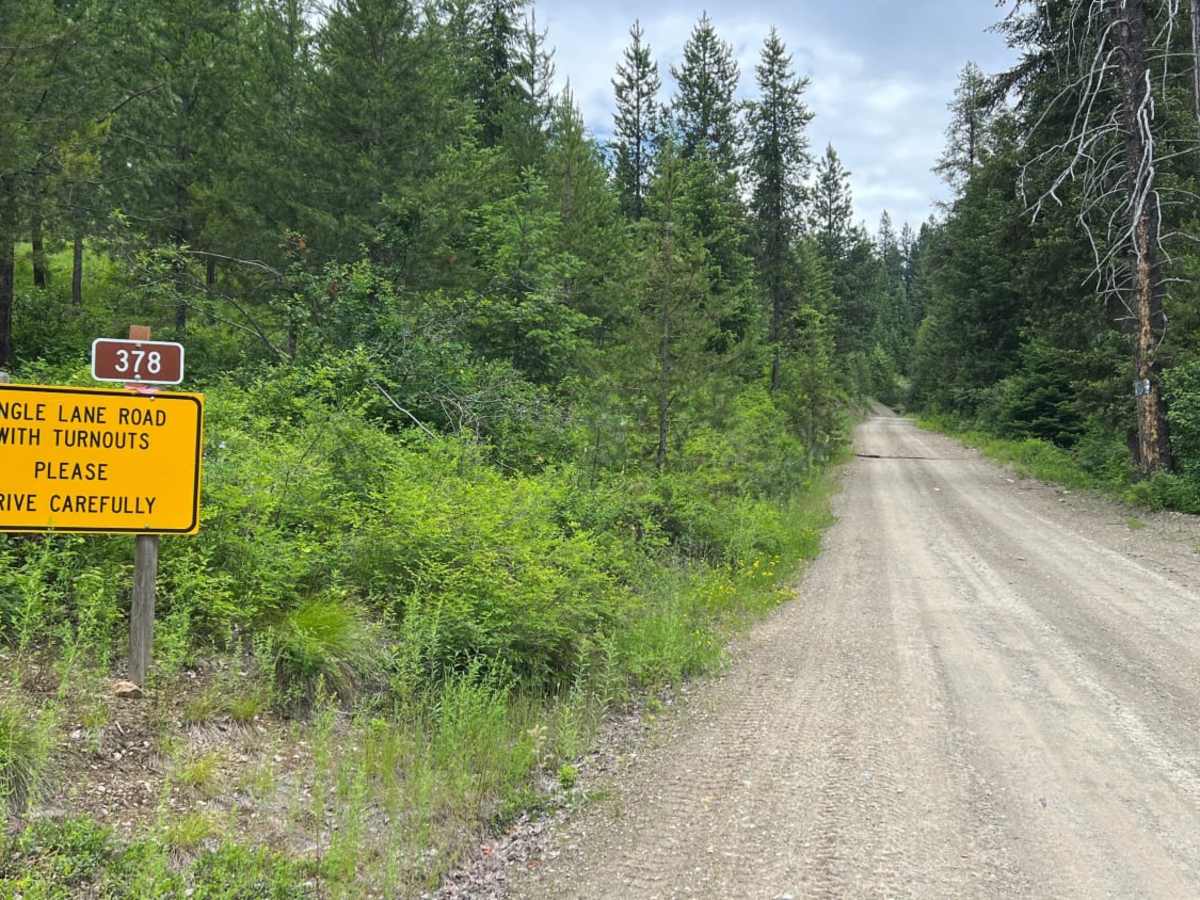
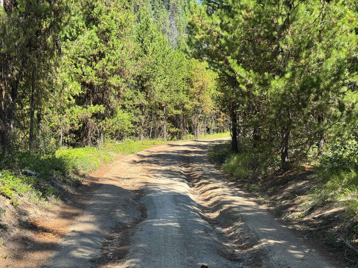
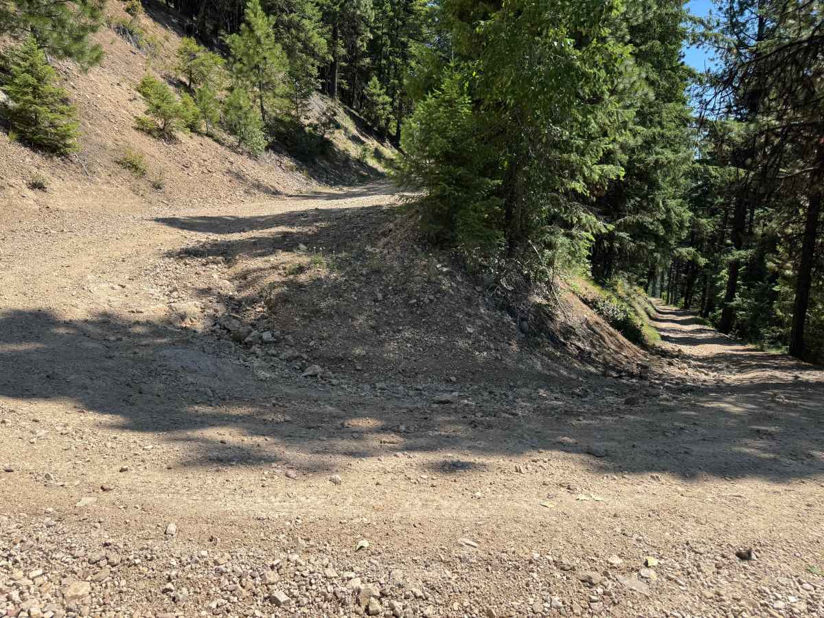
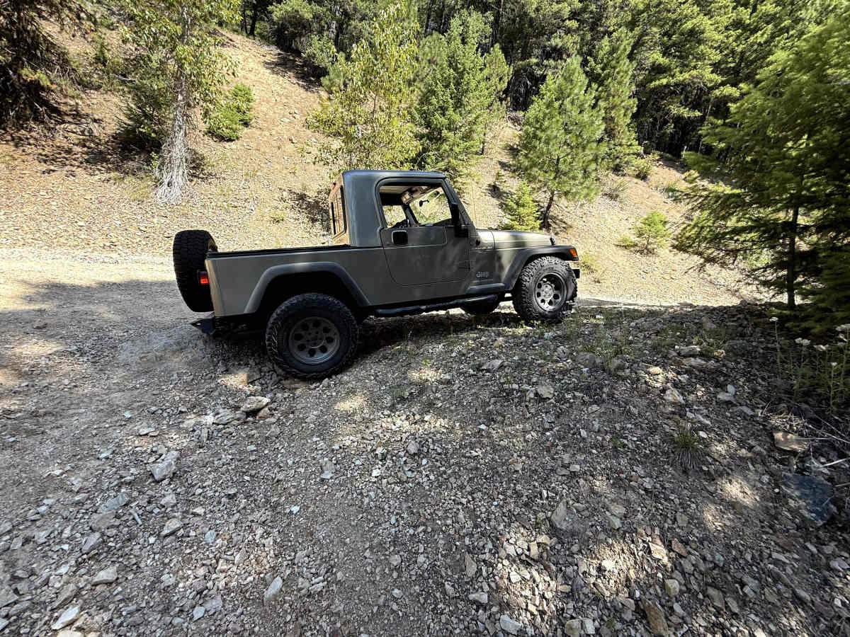
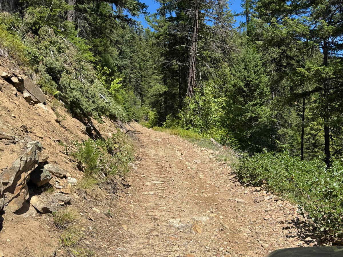
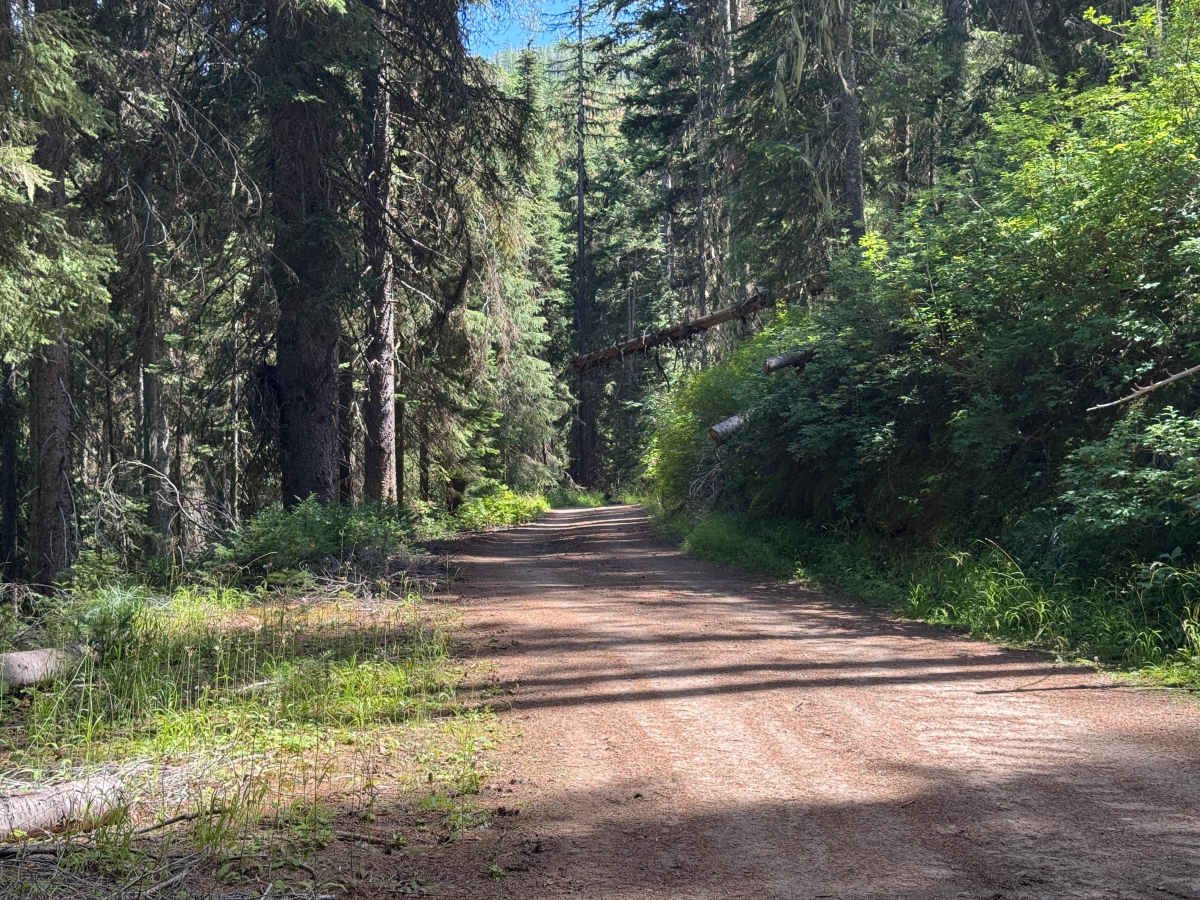
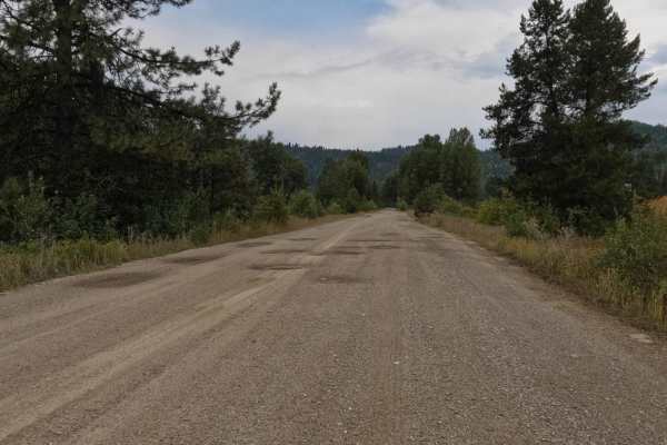
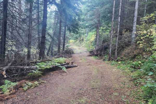
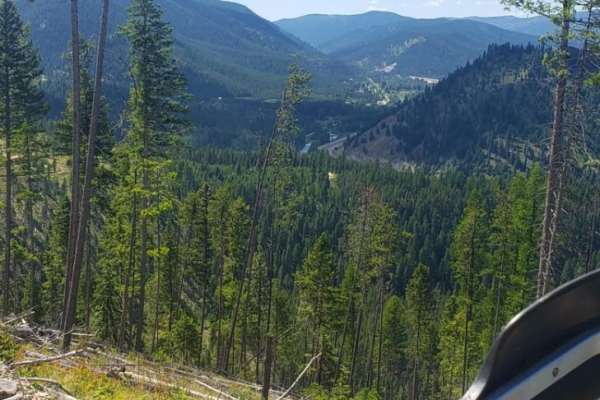
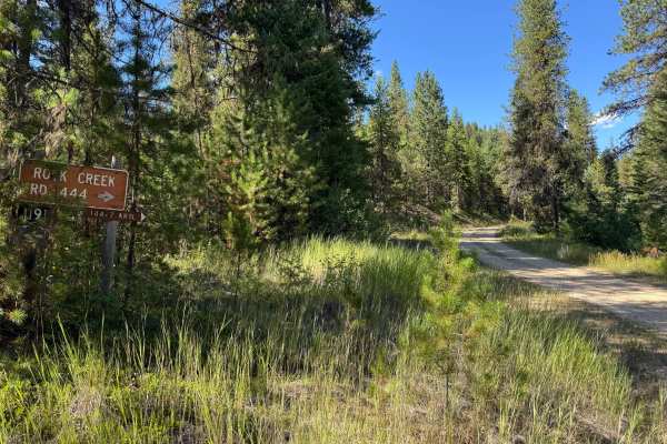
Rock Creek Trail (4W-378) travels north outside of De Borgia approximately 6 miles before reaching the 42-378/FSR-378/FSR-444 intersect. Before entering the trail, a paved section of road winds through rural development. The start of the trail is where pavement ends and dirt begins, with a large yellow sign warning of a single lane road with turnouts. The first 1.5 miles passes through some cabins and summer homes. Despite the road being FS jurisdiction, this portion of land is not public lands - be sure to remain on the road. Caution to not stir excessive dust should be taken. The first 1/3 of the trail is easy, passable by full sized vehicles. Once under the power lines, the road begins a steep and narrow ascent with multiple tight switchbacks and loose gravel - potentially requiring 4WD. After the switchbacks, the road narrows, with multiple trees fallen into the road cut out by passer-by's and few places to pass - a chainsaw is highly recommended. Both cut and fill slopes of the road are very steep. Extreme caution should be taken during times of wet soil and snow as an out-sloped road, and loos soils can cause a vehicle to slide off the road. Once past the old Rock Island Mine, the road mellows, but with encroaching brush potentially causing pin-striping. Though doable with a full size truck, due to the steep slopes, tight switch backs, and limited pull-out locations, this trail is best suited for Jeeps and side-by-sides.
Difficulty
Due to the tight switchbacks, few pull-outs, and steep fill slope with potential catastrophic consequence if sliding off the road, this trail receives a difficulty rating of 3.