Rivers Creek - FS 3820

Total Miles10.5
Technical Rating
3Easy
Best TimeSummer, Fall
Trail TypeFull-Width Road
Accessible By
Open Trail Map

Trail Overview

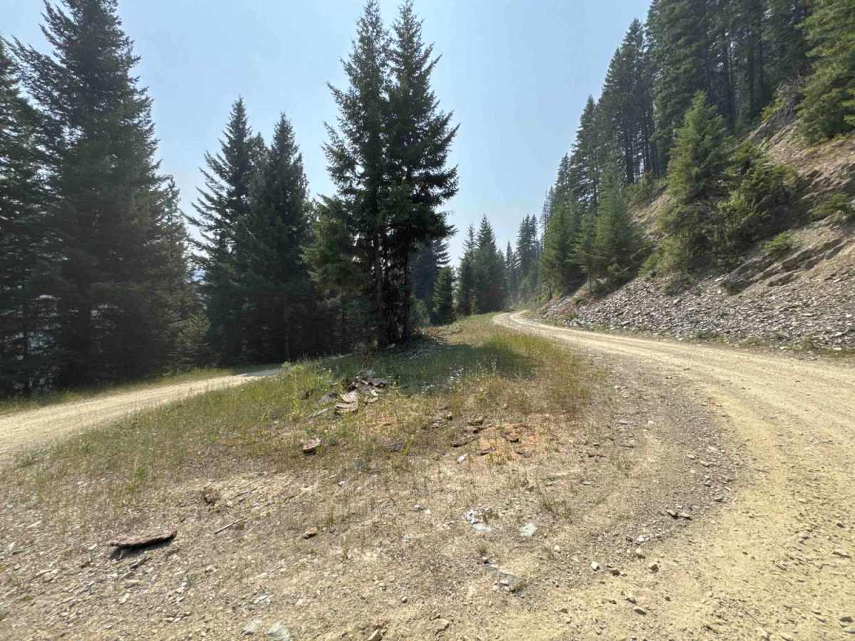
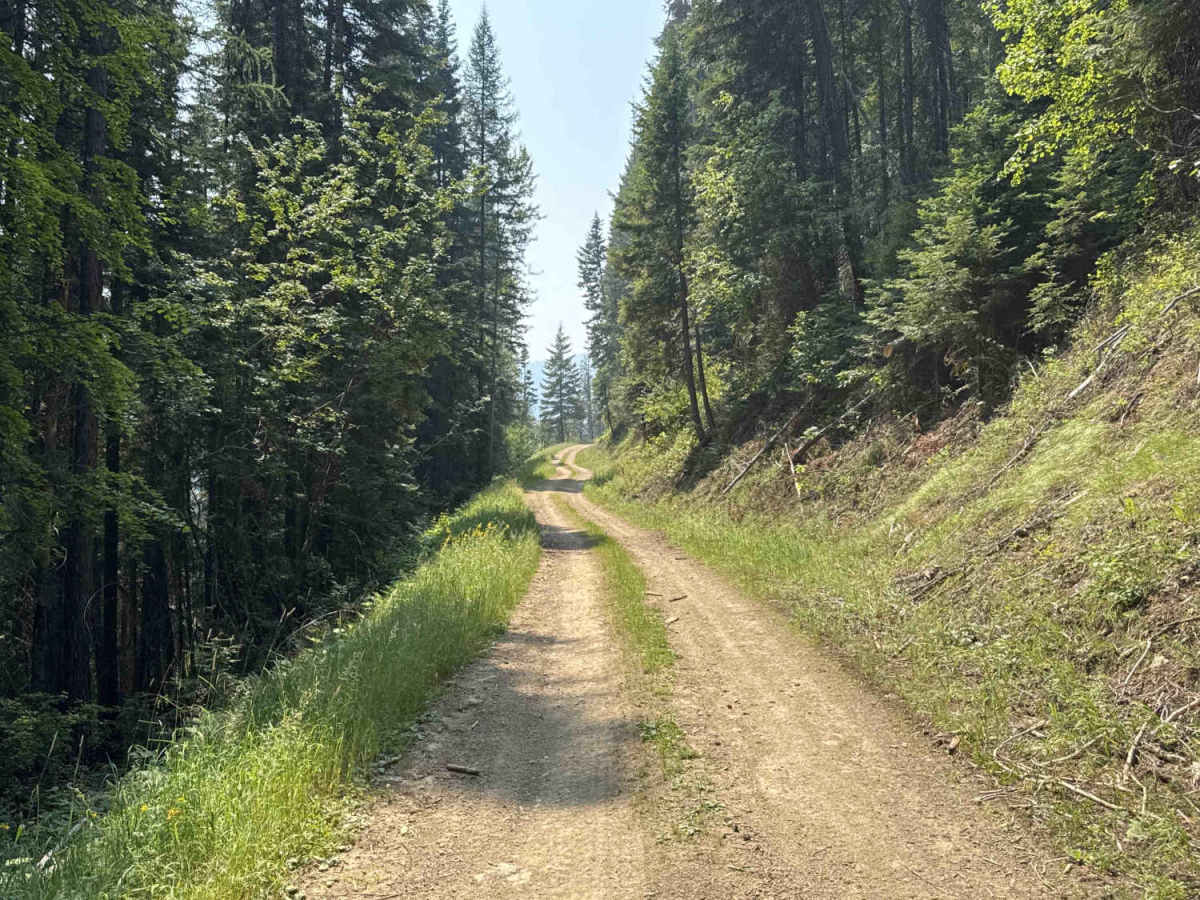
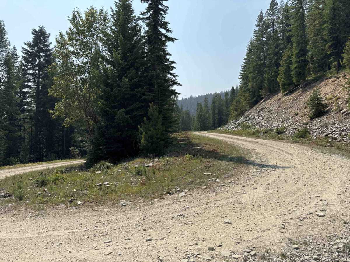
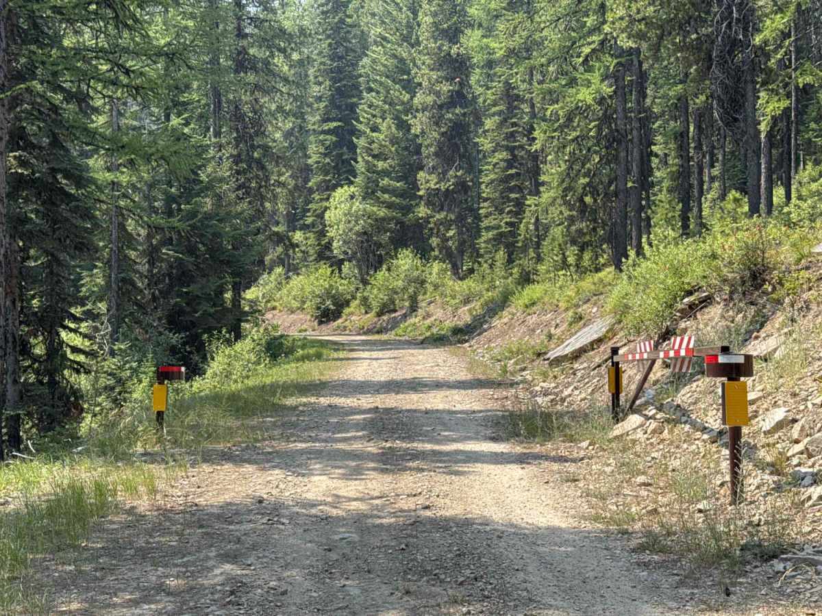
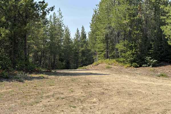
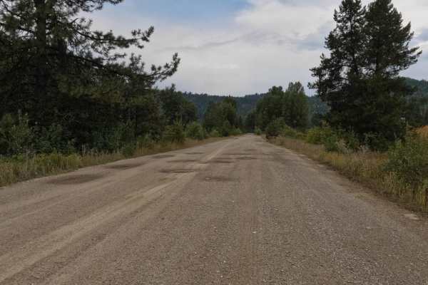
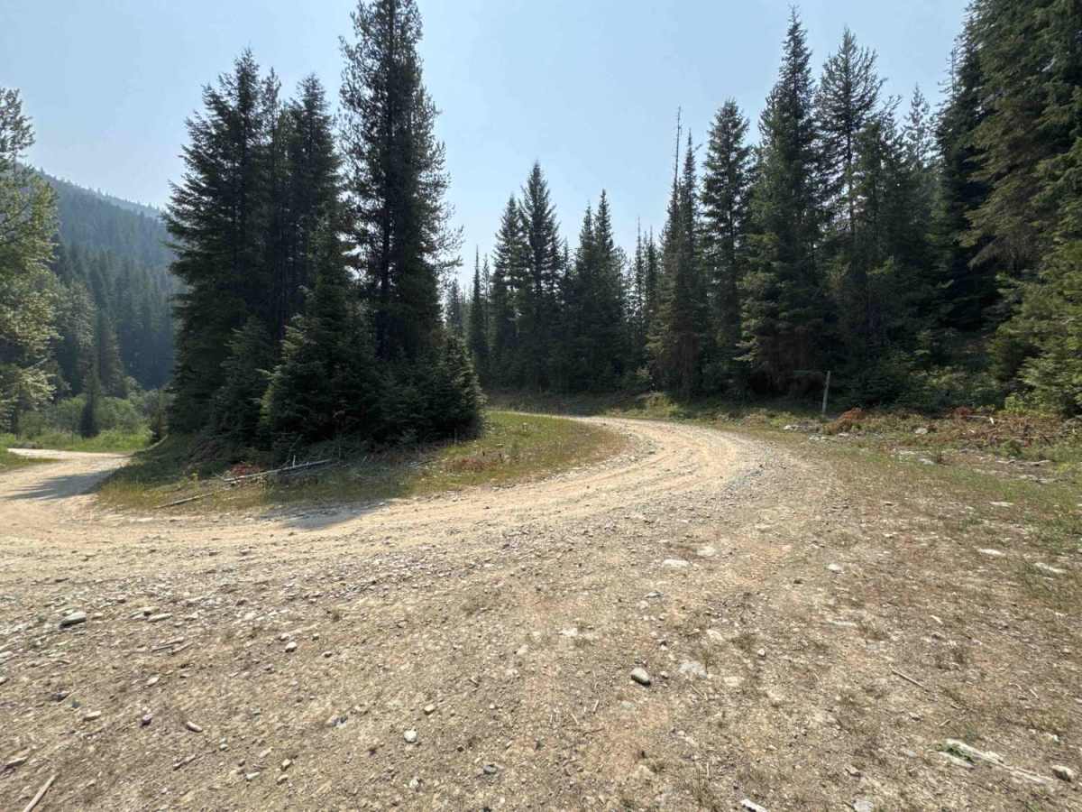
Rivers Creek FS - 3820 extends south from Big Creek - FS 386 and can create a loop utilizing multiple road segments. It provides a mostly easy, windy trail through steep valleys and hillsides, offering views to the east and north. You will see decent-sized Western Redcedar and Inland Douglas-Fir, with plenty of wildflowers in the spring. It offers some views of the creek below. This trail can be used to access the Heart Lake trailhead. It does contain a portion of a seasonally closed road at mile 6.2 (10/15-0/15). Recent heavy winter storms from the winter of 2025/2026 have caused the trail to have a partial washout at mile 10.4. It is currently inaccessible from East Fork Big Creek (4W-1159). This trail ends at the crossing of the East Fork Big Creek stream.

Photos of Rivers Creek - FS 3820

Difficulty

A partial trail washout at mile 10.4. A stock Jeep TJ with 32-inch tires will suffice, but it is not suitable for a lower-clearance modern SUV or truck.

Technical Rating

3

Rivers Creek - FS 3820 Trail can be accessed by the following ride types:

  • Single Track
  • 50 Inch
  • 60 Inch
  • High Clearance
  • Full Width

Rivers Creek - FS 3820 Map

The onX Offroad Difference

onX Offroad combines trail photos, descriptions, difficulty ratings, width restrictions, seasonality, and more in a user-friendly interface. Available on all devices, with offline access and full compatibility with CarPlay and Android Auto. Discover what you're missing today!

Open Trail Map